Coed Mawr

Wood, Forest in Denbighshire

Wales

Coed Mawr

Old Milestone by the A5, Ty-Nant cutting, Llangwm parish Telford Plate by the A5, in parish of Llangwm (Conwy County Borough District), Ty-Nant cutting, at Glyn-diffwys, Gaer-gerrig, West of Dinmael at East end of cutting; re-sited from old road, on wide verge, back to hedge near start of path.

Inscription reads:-
HOLY-
HEAD
61
CERNIOGE
7M-2F
CORWEN
5M-6F
Carved benchmark below plate.

Grade II listed by Cadw.
Reference Number: 19597 <span class="nowrap"><a title="https://cadwpublic-api-staging.azurewebsites.net/reports/listedbuilding/FullReport?lang=&id=19597" rel="nofollow ugc noopener" href="https://cadwpublic-api-staging.azurewebsites.net/reports/listedbuilding/FullReport?lang=&id=19597">Link</a><img style="margin-left:2px;" alt="External link" title="External link - shift click to open in new window" src="https://s1.geograph.org.uk/img/external.png" width="10" height="10"/></span>

Milestone Society National ID: DEN_HH61
Old Milestone by the A5, Ty-Nant cutting, Llangwm parish Credit: Chris Smith

The requested URL returned error: 429 Too Many Requests

If you have any feedback on the listing, please let us know in the comments section below.
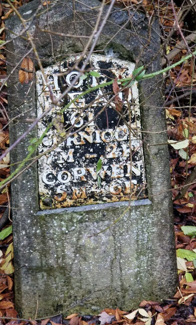
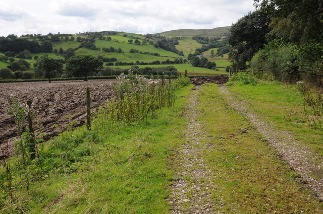
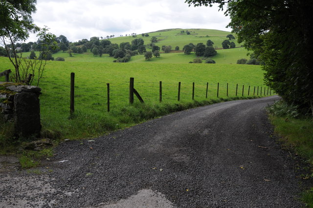
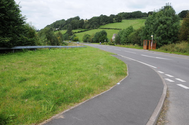
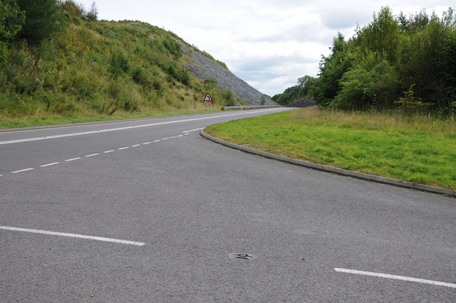
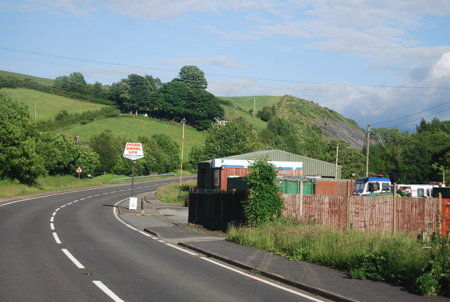
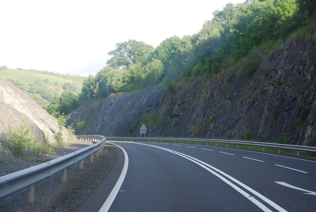
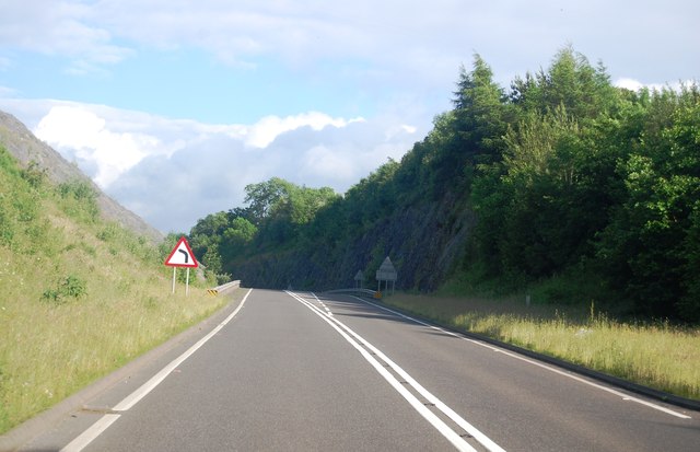
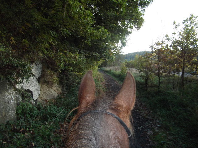
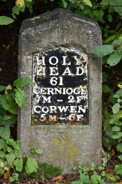
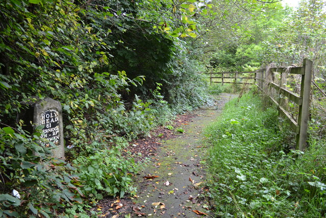
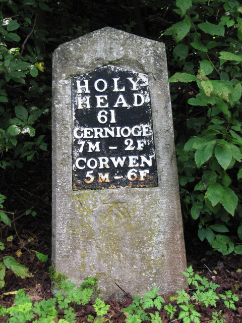
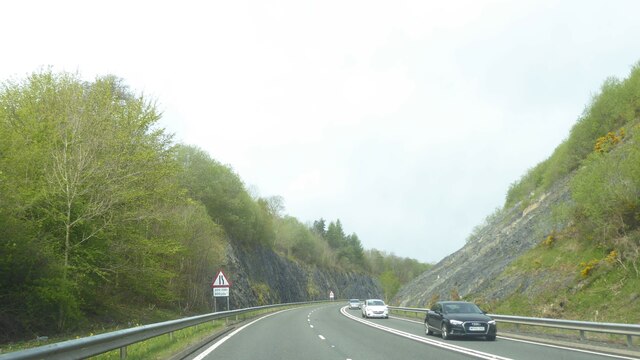
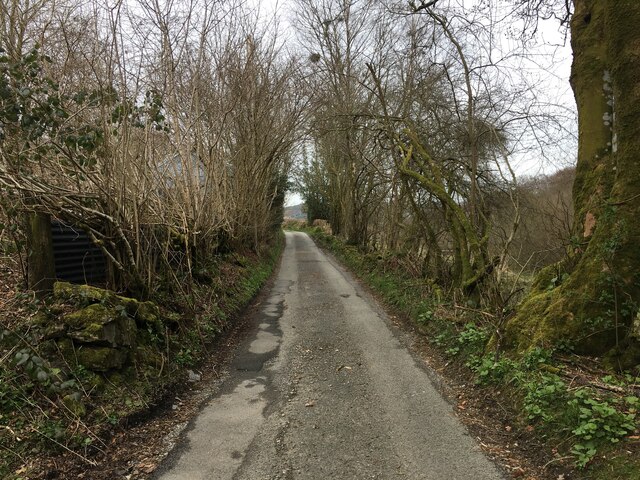
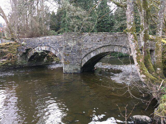
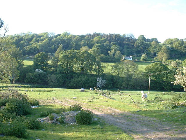
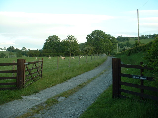
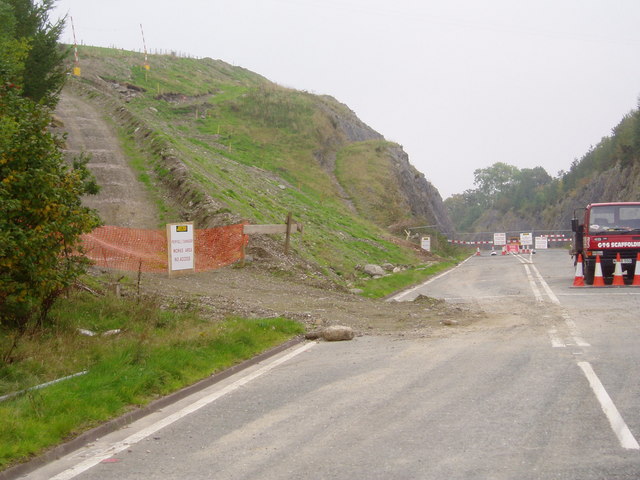
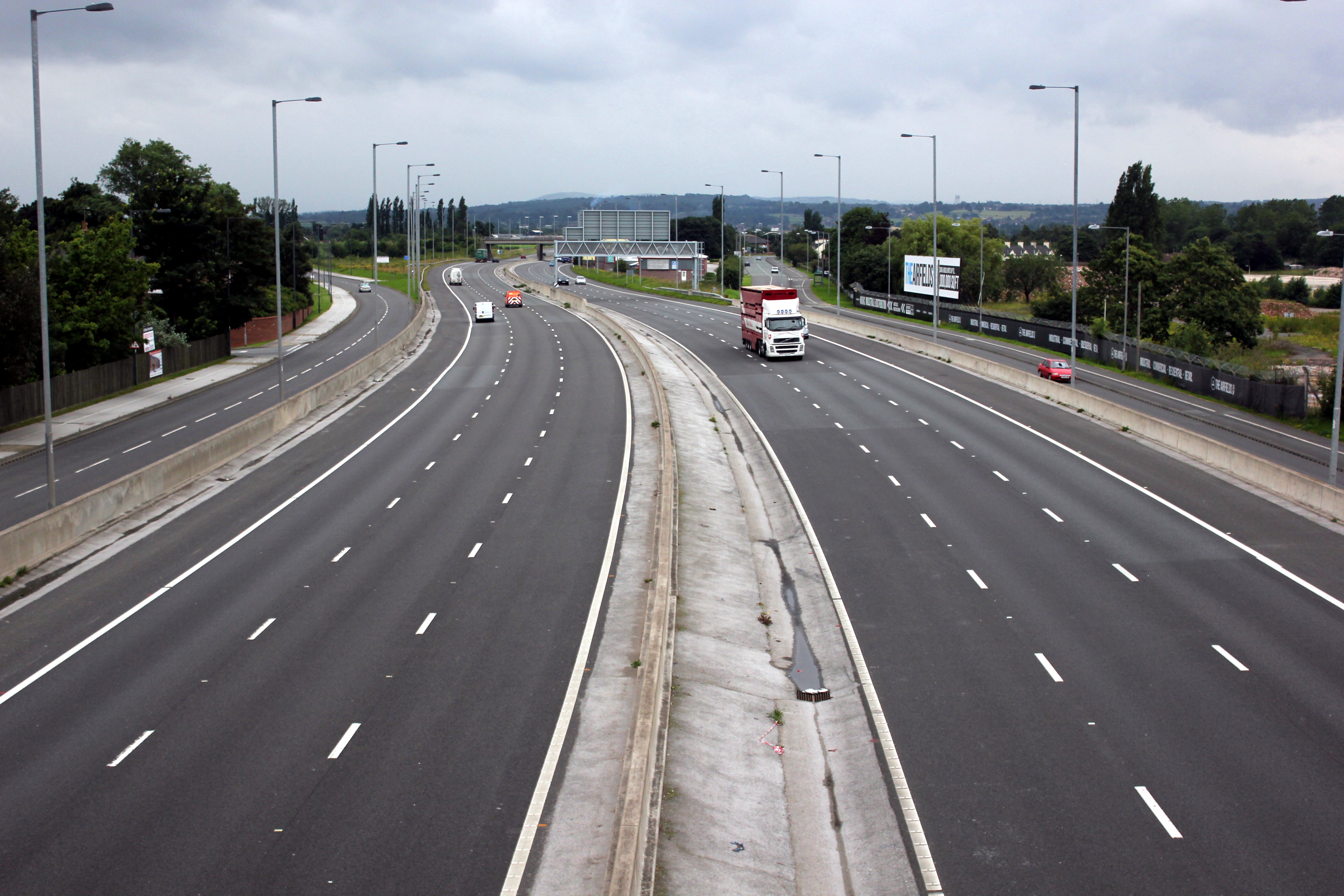
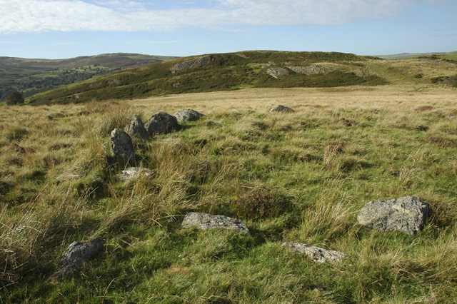
Coed Mawr Images

Images are sourced within 2km of 52.987255/-3.4790128 or Grid Reference SJ0044. Thanks to Geograph Open Source API. All images are credited.

Old Milestone by the A5, Ty-Nant cutting, Llangwm parish Telford Plate by the A5, in parish of Llangwm (Conwy County Borough District), Ty-Nant cutting, at Glyn-diffwys, Gaer-gerrig, West of Dinmael at East end of cutting; re-sited from old road, on wide verge, back to hedge near start of path.

Inscription reads:-
HOLY-
HEAD
61
CERNIOGE
7M-2F
CORWEN
5M-6F
Carved benchmark below plate.

Grade II listed by Cadw.
Reference Number: 19597 <span class="nowrap"><a title="https://cadwpublic-api-staging.azurewebsites.net/reports/listedbuilding/FullReport?lang=&id=19597" rel="nofollow ugc noopener" href="https://cadwpublic-api-staging.azurewebsites.net/reports/listedbuilding/FullReport?lang=&id=19597">Link</a><img style="margin-left:2px;" alt="External link" title="External link - shift click to open in new window" src="https://s1.geograph.org.uk/img/external.png" width="10" height="10"/></span>

Milestone Society National ID: DEN_HH61
Old Milestone by the A5, Ty-Nant cutting, Llangwm parish
Telford Plate by the A5, in parish of Llangwm (Conwy County Borough District), Ty-Nant cutting, at Glyn-diffwys, Gaer-gerrig, West of Dinmael at East end of cutting; re-sited from old road, on wide verge, back to hedge near start of path. Inscription reads:- HOLY- HEAD 61 CERNIOGE 7M-2F CORWEN 5M-6F Carved benchmark below plate. Grade II listed by Cadw. Reference Number: 19597 LinkExternal link Milestone Society National ID: DEN_HH61
Farmland above Afon Ceirw Track giving access to a ploughed field above the Afon Ceirw valley.
Farmland above Afon Ceirw
Track giving access to a ploughed field above the Afon Ceirw valley.
Access road to Pen-yfed Access road to Pen-yfed near Ty-Nant.
Access road to Pen-yfed
Access road to Pen-yfed near Ty-Nant.
The A5 at Ty-Nant
The A5 at Ty-Nant
Cutting on the A5 at Ty-Nant This cutting at Ty-Nant was made as part of road improvements to the A5.
Cutting on the A5 at Ty-Nant
This cutting at Ty-Nant was made as part of road improvements to the A5.
Filling station, A5, Ty'n-ddol The A5 is a major trunk road that runs 260 miles from London to Holyhead. It follows the course of an old Roman Road (Watling Street).
Wikipedia: <span class="nowrap"><a title="http://en.wikipedia.org/wiki/A5_road_(Great_Britain)" rel="nofollow ugc noopener" href="http://en.wikipedia.org/wiki/A5_road_(Great_Britain)">Link</a><img style="margin-left:2px;" alt="External link" title="External link - shift click to open in new window" src="https://s1.geograph.org.uk/img/external.png" width="10" height="10"/></span>
Filling station, A5, Ty'n-ddol
The A5 is a major trunk road that runs 260 miles from London to Holyhead. It follows the course of an old Roman Road (Watling Street). Wikipedia: LinkExternal link
A5, Glyn bends cutting The A5 is a major trunk road that runs 260 miles from London to Holyhead. It follows the course of an old Roman Road (Watling Street).
Wikipedia: <span class="nowrap"><a title="http://en.wikipedia.org/wiki/A5_road_(Great_Britain)" rel="nofollow ugc noopener" href="http://en.wikipedia.org/wiki/A5_road_(Great_Britain)">Link</a><img style="margin-left:2px;" alt="External link" title="External link - shift click to open in new window" src="https://s1.geograph.org.uk/img/external.png" width="10" height="10"/></span>
A5, Glyn bends cutting
The A5 is a major trunk road that runs 260 miles from London to Holyhead. It follows the course of an old Roman Road (Watling Street). Wikipedia: LinkExternal link
A5, entering a cutting The A5 is a major trunk road that runs 260 miles from London to Holyhead. It follows the course of an old Roman Road (Watling Street).
Wikipedia: <span class="nowrap"><a title="http://en.wikipedia.org/wiki/A5_road_(Great_Britain)" rel="nofollow ugc noopener" href="http://en.wikipedia.org/wiki/A5_road_(Great_Britain)">Link</a><img style="margin-left:2px;" alt="External link" title="External link - shift click to open in new window" src="https://s1.geograph.org.uk/img/external.png" width="10" height="10"/></span>
A5, entering a cutting
The A5 is a major trunk road that runs 260 miles from London to Holyhead. It follows the course of an old Roman Road (Watling Street). Wikipedia: LinkExternal link
Old A5 at Dinmael This is the old A5 going towards Dinmael, near Corwen North Wales. Now designated as a footpath. It is a link on a circular route from home that I use to stay away, & safe, from fast flowing traffic. The cutting is behind us.
Old A5 at Dinmael
This is the old A5 going towards Dinmael, near Corwen North Wales. Now designated as a footpath. It is a link on a circular route from home that I use to stay away, & safe, from fast flowing traffic. The cutting is behind us.
Milestone Milestone on what was the A5 near to Ty-Nant, Conwy; for overall view see <a title="https://www.geograph.org.uk/photo/5190778" href="https://www.geograph.org.uk/photo/5190778">Link</a>
Milestone
Milestone on what was the A5 near to Ty-Nant, Conwy; for overall view see Link
Holyhead 61 Milestone on what was the A5 near to Ty-Nant, Conwy; for close up view see <a title="https://www.geograph.org.uk/photo/5190770" href="https://www.geograph.org.uk/photo/5190770">Link</a>
Holyhead 61
Milestone on what was the A5 near to Ty-Nant, Conwy; for close up view see Link
Old Milestone by the A5, Ty-Nant cutting, Llangwm parish Telford Plate by the A5, in parish of Llangwm (Conwy County Borough District), Ty-Nant cutting, at Glyn-diffwys, Gaer-gerrig, West of Dinmael at East end of cutting; re-sited from old road, on wide verge, back to hedge near start of path.

Inscription reads:-
HOLY-
HEAD
61
CERNIOGE
7M-2F
CORWEN
5M-6F
Carved benchmark below plate.

Grade II listed by Cadw.
Reference Number: 19597 <span class="nowrap"><a title="https://cadwpublic-api-staging.azurewebsites.net/reports/listedbuilding/FullReport?lang=&id=19597" rel="nofollow ugc noopener" href="https://cadwpublic-api-staging.azurewebsites.net/reports/listedbuilding/FullReport?lang=&id=19597">Link</a><img style="margin-left:2px;" alt="External link" title="External link - shift click to open in new window" src="https://s1.geograph.org.uk/img/external.png" width="10" height="10"/></span>

Surveyed

Milestone Society National ID: DEN_HH61
Old Milestone by the A5, Ty-Nant cutting, Llangwm parish
Telford Plate by the A5, in parish of Llangwm (Conwy County Borough District), Ty-Nant cutting, at Glyn-diffwys, Gaer-gerrig, West of Dinmael at East end of cutting; re-sited from old road, on wide verge, back to hedge near start of path. Inscription reads:- HOLY- HEAD 61 CERNIOGE 7M-2F CORWEN 5M-6F Carved benchmark below plate. Grade II listed by Cadw. Reference Number: 19597 LinkExternal link Surveyed Milestone Society National ID: DEN_HH61
Cutting on A5
Cutting on A5
Minor road near Glan-yr-Afon
Bridge over Afon Ceirw near Maerdy
Ty-tan-y-berllan Looking north east across the Afon Ceirw and the A5.
Ty-tan-y-berllan
Looking north east across the Afon Ceirw and the A5.
Lane to Ty-nant-y-llwyn
Landslide at Ty Nant Extensive repairs needed to the embankment on the A5 between Corwen and Cerrigydrudion. The old road has had to be reopened for this important Welsh route until the embankment can be stabilised.
Landslide at Ty Nant
Extensive repairs needed to the embankment on the A5 between Corwen and Cerrigydrudion. The old road has had to be reopened for this important Welsh route until the embankment can be stabilised.
Show me another place!

Coed Mawr is located at Grid Ref: SJ0044 (Lat: 52.987255, Lng: -3.4790128)

Unitary Authority: Conwy

Police Authority: North Wales

What 3 Words

///pocketed.keyboards.afford. Near Llangwm, Conwy

Related Wikis

A494 road

The A494 is a trunk road in Wales and England. The route, which is officially known as the Dolgellau to South of Birkenhead Trunk Road, runs between the...

Glan-yr-afon, Gwynedd

Glan-yr-afon is a small village near Corwen in Gwynedd, Wales and is situated on the A494. The village is on the boundary of Gwynedd and Denbighshire....

Caer Euni

Caer Euni [Grid reference SJ 00027 41266] is an Iron Age hillfort, about 2.5 miles (4 km) north-east of the village of Llandderfel and about 5 miles (8...

St Mary's Church, Betws Gwerful Goch

St Mary's Church, Betws Gwerful Goch, is in the village of Betws Gwerful Goch, Denbighshire, Wales. It is an active Anglican church in the deanery of...

Nearby Amenities

Located within 500m of 52.987255,-3.4790128
Dinmael
Is In: Gwynedd
Place: village
Source: npe
Lat/Long: 52.9911356/-3.4826765
Source: npe
Lat/Long: 52.9892136/-3.4835814
Source: npe
Lat/Long: 52.9892727/-3.480856
Source: npe
Lat/Long: 52.9901098/-3.4805304
Source: npe
Lat/Long: 52.9904828/-3.480256
Source: npe
Lat/Long: 52.9910512/-3.4785831
Source: npe
Lat/Long: 52.9907025/-3.4770478
Place: farm
Lat/Long: 52.9835496/-3.4771304
Place: farm
Lat/Long: 52.9896098/-3.4745429
Pont Rhyd-llefrith
Place: locality
Lat/Long: 52.9893614/-3.4803882
Direction: SSE
Generator Method: photovoltaic
Generator Output Electricity: yes
Generator Solar Modules: 22
Generator Source: solar
Generator Type: solar_photovoltaic_panel
Location: roof
Power: generator
Lat/Long: 52.9893238/-3.4848601
Direction: 165
Generator Method: photovoltaic
Generator Output Electricity: yes
Generator Solar Modules: 7
Generator Source: solar
Generator Type: solar_photovoltaic_panel
Location: roof
Power: generator
Lat/Long: 52.9902909/-3.4844631
Direction: 165
Generator Method: photovoltaic
Generator Output Electricity: yes
Generator Solar Modules: 7
Generator Source: solar
Generator Type: solar_photovoltaic_panel
Location: roof
Power: generator
Lat/Long: 52.9902796/-3.4845389
Bus Stop
Bus: yes
Public Transport: platform
Lat/Long: 52.9902788/-3.4833946
The data included in this document is from www.openstreetmap.org. The data is made available under ODbL.

Have you been to Coed Mawr?

Leave your review of Coed Mawr below (or comments, questions and feedback).