Dinmael
Settlement in Denbighshire
Wales
Dinmael
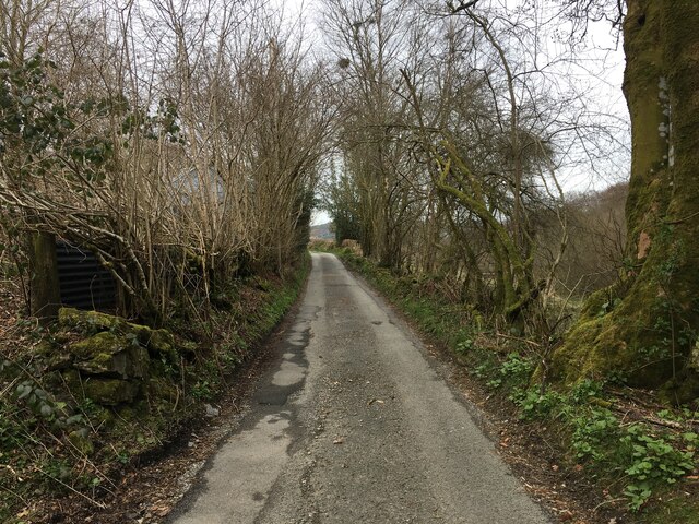
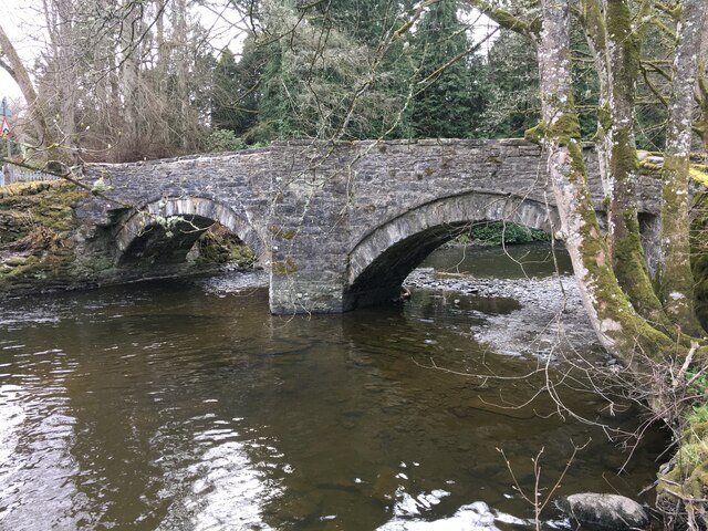
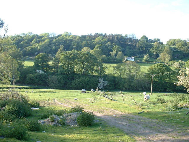
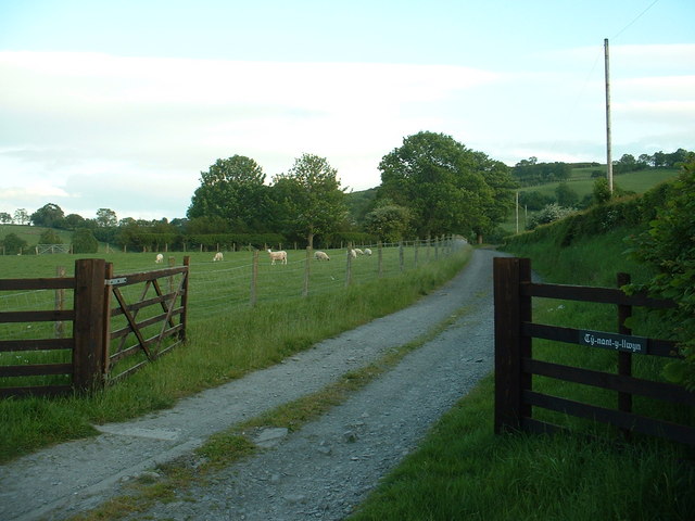
Dinmael is a small village located in the county of Denbighshire, Wales. Situated in the scenic Ceiriog Valley, it is surrounded by rolling hills and picturesque countryside. The village is nestled on the banks of the River Ceiriog, which adds to its natural beauty.
Dinmael is a historic village with a rich heritage. It has a long-standing agricultural tradition and is known for its farming community. The village is characterized by traditional stone-built houses, giving it a charming and quaint atmosphere.
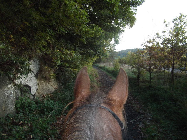
Despite its small size, Dinmael offers a range of amenities for residents and visitors alike. There is a local primary school, providing education for the village's younger population. In terms of leisure activities, the surrounding area offers numerous opportunities for outdoor pursuits, such as hiking, fishing, and birdwatching. The Ceiriog Valley is renowned for its stunning landscapes, attracting nature enthusiasts and outdoor adventurers.
For those seeking cultural experiences, Dinmael is within easy reach of several historical landmarks and attractions. Nearby, visitors can explore the ruins of Valle Crucis Abbey, a Cistercian monastery dating back to the 13th century. The village is also a short drive away from Llangollen, a popular tourist destination famous for its canal and annual International Eisteddfod music festival.
Overall, Dinmael is a peaceful and picturesque village, offering a close-knit community, stunning natural surroundings, and easy access to both cultural and outdoor attractions.
If you have any feedback on the listing, please let us know in the comments section below.
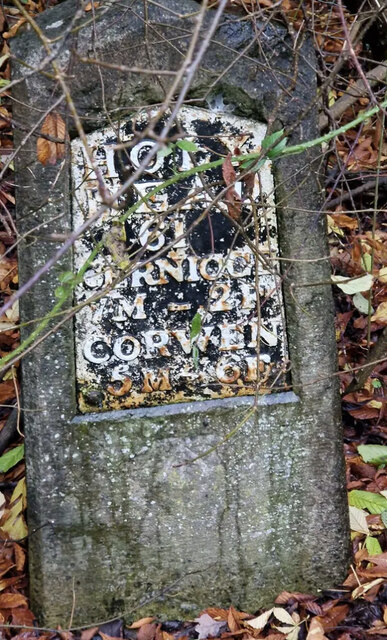
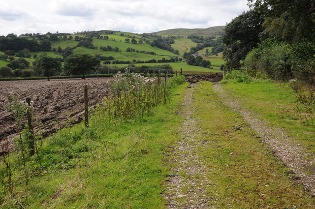
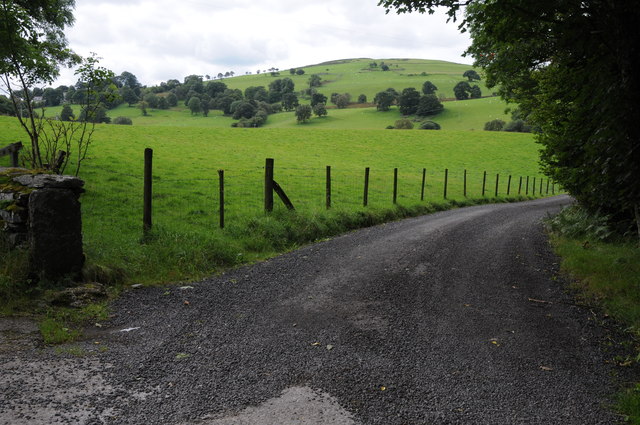
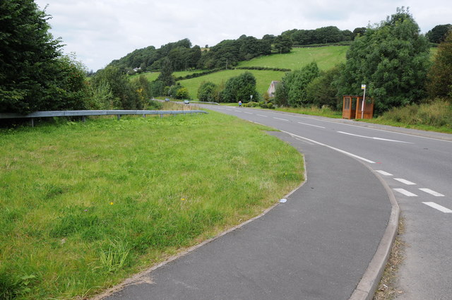
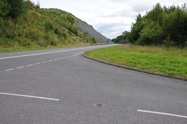
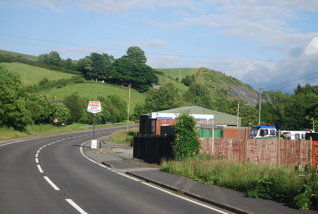
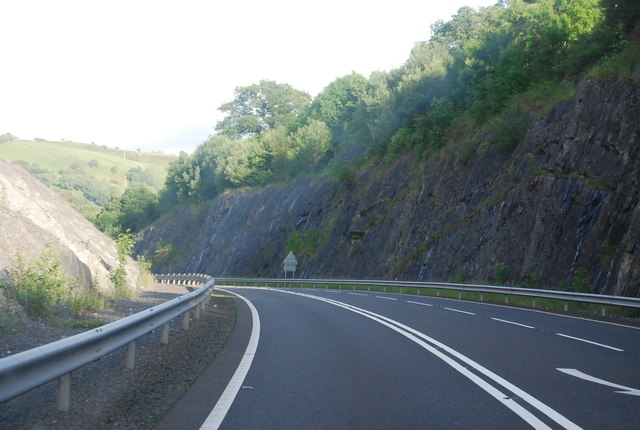
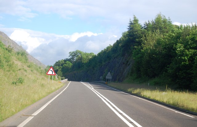
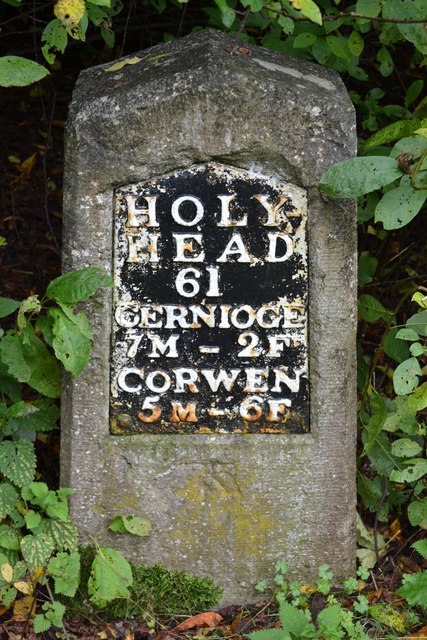
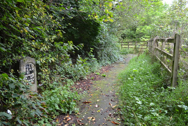
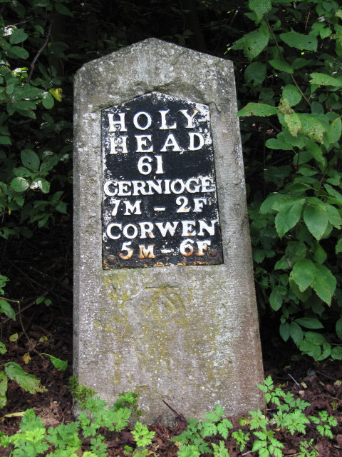
Dinmael Images
Images are sourced within 2km of 52.990396/-3.482616 or Grid Reference SJ0044. Thanks to Geograph Open Source API. All images are credited.
Dinmael is located at Grid Ref: SJ0044 (Lat: 52.990396, Lng: -3.482616)
Unitary Authority: Conwy
Police Authority: North Wales
What 3 Words
///bliss.chucked.eggs. Near Llangwm, Conwy
Nearby Locations
Related Wikis
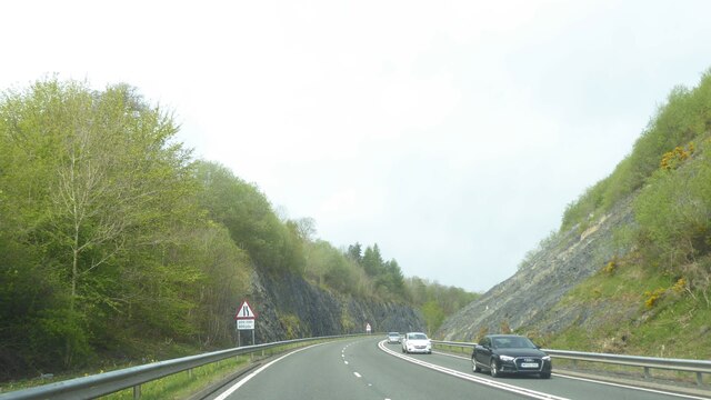
A494 road
The A494 is a trunk road in Wales and England. The route, which is officially known as the Dolgellau to South of Birkenhead Trunk Road, runs between the...

Coedydd Dyffryn Alwen
Coedydd Dyffryn Alwen is a Site of Special Scientific Interest in the preserved county of Clwyd, north Wales. It contains a mix of different woodland types...

Glan-yr-afon, Gwynedd
Glan-yr-afon is a small village near Corwen in Gwynedd, Wales and is situated on the A494. The village is on the boundary of Gwynedd and Denbighshire....

St Mary's Church, Betws Gwerful Goch
St Mary's Church, Betws Gwerful Goch, is in the village of Betws Gwerful Goch, Denbighshire, Wales. It is an active Anglican church in the deanery of...
Nearby Amenities
Located within 500m of 52.990396,-3.482616Have you been to Dinmael?
Leave your review of Dinmael below (or comments, questions and feedback).