Coed y Wern
Wood, Forest in Denbighshire
Wales
Coed y Wern
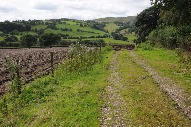
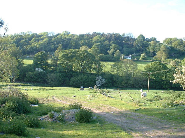
Coed y Wern is a picturesque woodland located in Denbighshire, a county in northeastern Wales. Nestled in the beautiful countryside, this forest is a haven for nature lovers and outdoor enthusiasts. Covering an area of approximately 100 acres, Coed y Wern offers a diverse range of flora and fauna, making it an important habitat for wildlife.
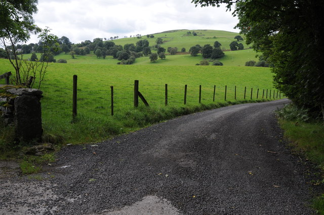
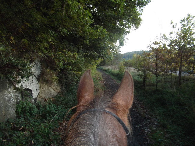
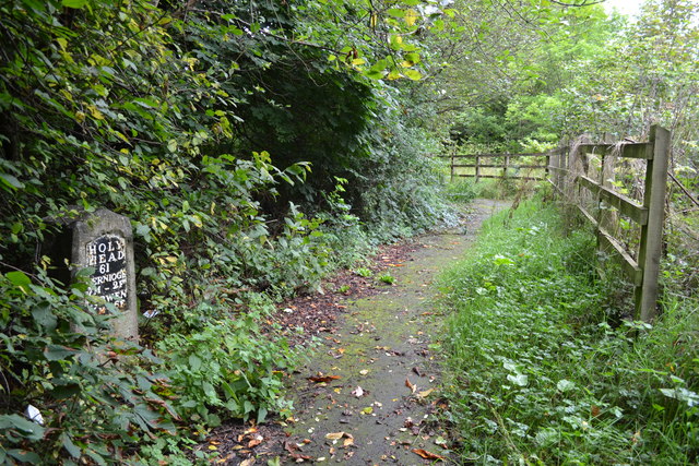
The woodland is primarily composed of deciduous trees, including oak, birch, and beech, which provide a stunning display of colors during the autumn months. Walking through the forest, visitors can enjoy the peaceful ambiance and the soothing sounds of birdsong. There are well-maintained trails that wind their way through the woodland, allowing visitors to explore its hidden treasures.
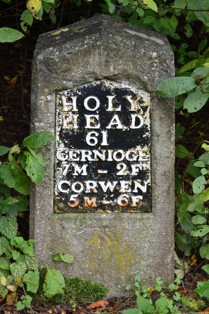
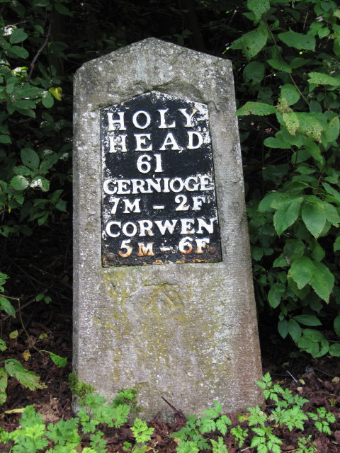
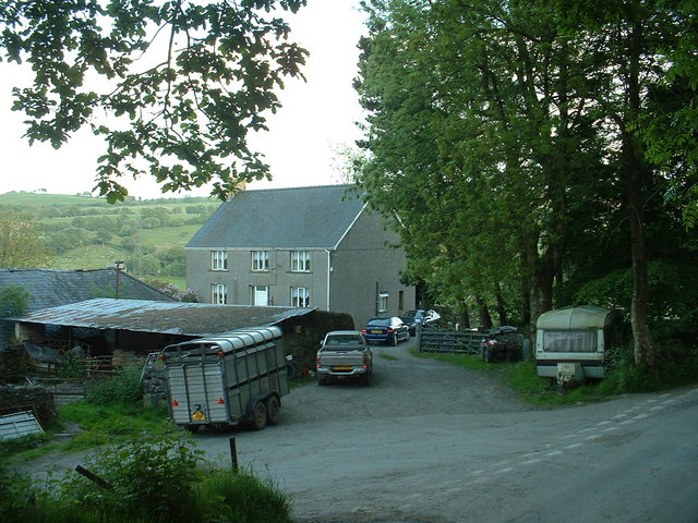
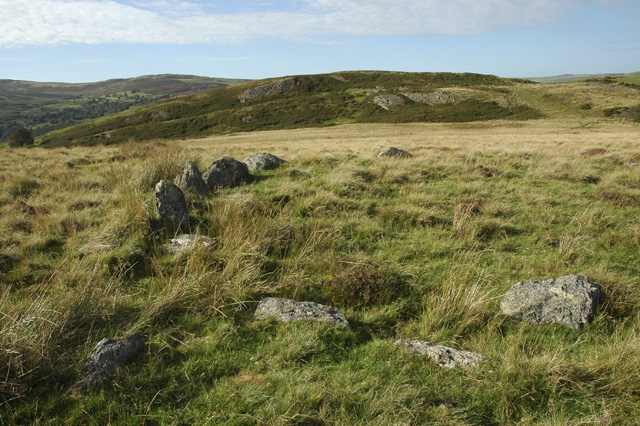
Coed y Wern also boasts a rich history, with remnants of ancient settlements and industrial activity. The forest was once home to several mining operations, which can still be seen by the remains of old mine shafts and spoil heaps. These historical features add an intriguing element to the natural beauty of the woodland.
In addition to its natural and historical significance, Coed y Wern offers recreational activities for visitors. The forest is a popular destination for hiking, jogging, and picnicking. There are also designated areas for camping and barbecues, providing an opportunity for visitors to spend a night under the stars.
Overall, Coed y Wern is a delightful woodland retreat that offers a harmonious blend of nature, history, and recreational activities. Whether one seeks tranquility, adventure, or a deeper connection with the natural world, this forest provides an idyllic setting to fulfill those desires.
If you have any feedback on the listing, please let us know in the comments section below.
Coed y Wern Images
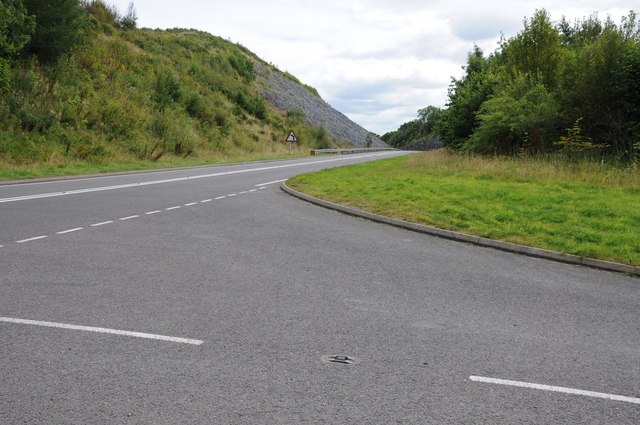
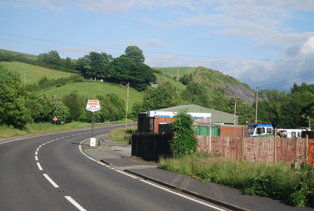
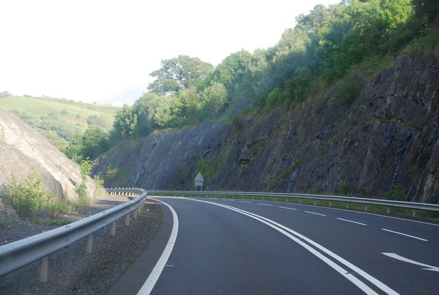
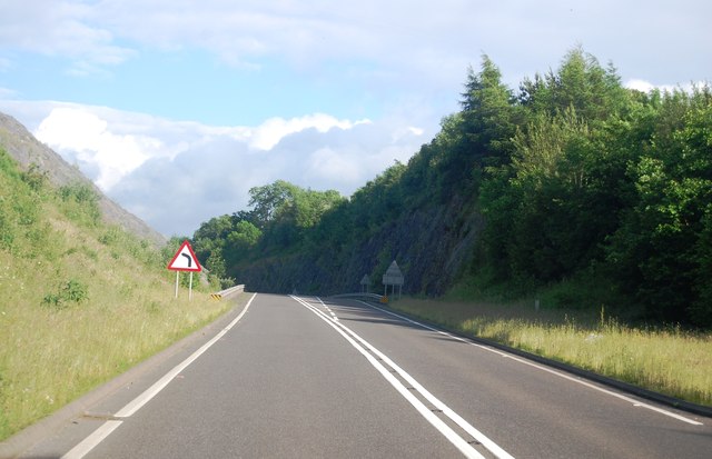
Images are sourced within 2km of 52.985264/-3.481507 or Grid Reference SJ0044. Thanks to Geograph Open Source API. All images are credited.
Coed y Wern is located at Grid Ref: SJ0044 (Lat: 52.985264, Lng: -3.481507)
Unitary Authority: Conwy
Police Authority: North Wales
What 3 Words
///limits.outbound.swatted. Near Llangwm, Conwy
Nearby Locations
Related Wikis
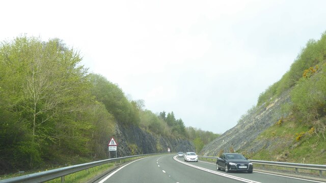
A494 road
The A494 is a trunk road in Wales and England. The route, which is officially known as the Dolgellau to South of Birkenhead Trunk Road, runs between the...

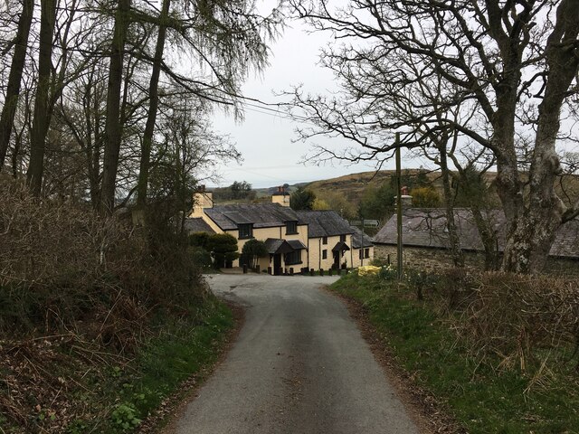
Glan-yr-afon, Gwynedd
Glan-yr-afon is a small village near Corwen in Gwynedd, Wales and is situated on the A494. The village is on the boundary of Gwynedd and Denbighshire....
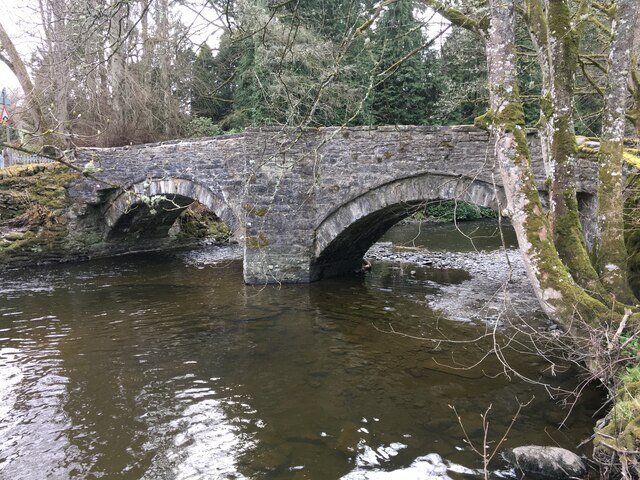
Caer Euni
Caer Euni [Grid reference SJ 00027 41266] is an Iron Age hillfort, about 2.5 miles (4 km) north-east of the village of Llandderfel and about 5 miles (8...

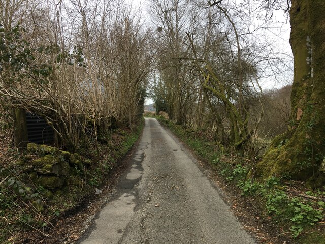
Druid, Denbighshire
Druid (Welsh: Y Ddwyryd) is a small village in Denbighshire, Wales. The village is located where the A5 and the A494 meet, about two miles west of Corwen...
Nearby Amenities
Located within 500m of 52.985264,-3.481507Have you been to Coed y Wern?
Leave your review of Coed y Wern below (or comments, questions and feedback).