Bwlch Wood
Wood, Forest in Radnorshire
Wales
Bwlch Wood
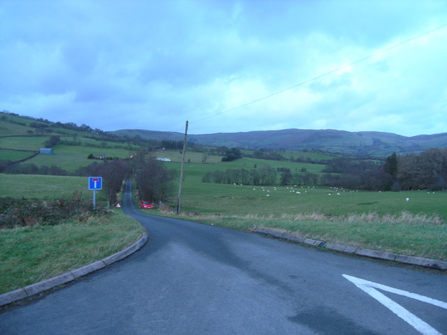
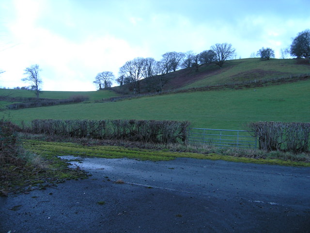
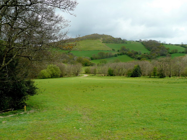
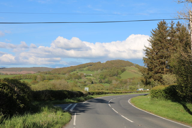
Bwlch Wood is a picturesque forest located in the county of Radnorshire, Wales. Covering an area of approximately 500 hectares, it is nestled within the stunning landscape of the Radnor Forest. The wood is situated on the eastern slopes of the Radnor Hills, offering visitors breathtaking views of the surrounding countryside.
The forest is predominantly composed of native broadleaf trees, including oak, beech, and ash, creating a rich and diverse ecosystem. These trees provide a habitat for a variety of wildlife, including birds such as woodpeckers, red kites, and buzzards. Additionally, the woodland floor is adorned with vibrant wildflowers, adding to its natural beauty.
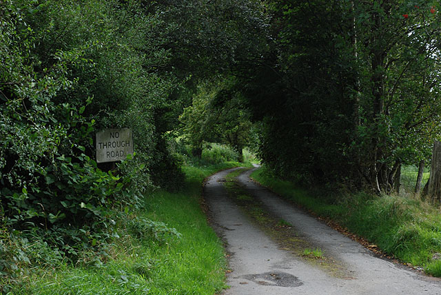
Bwlch Wood offers an array of walking trails, allowing visitors to explore its enchanting surroundings. There are paths suitable for all levels of fitness, ranging from leisurely strolls to more challenging hikes. These trails wind through the forest, passing by tranquil streams, ancient ruins, and hidden glades.
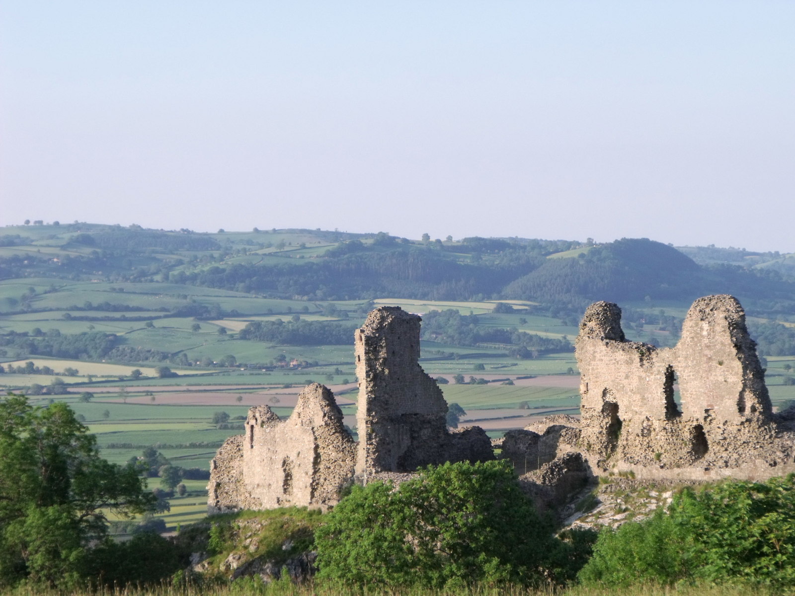
The forest also holds historical significance, with remnants of past human activity scattered throughout. Archaeological sites, such as Bronze Age burial mounds, can be found within the wood, providing a glimpse into the area's rich heritage.
Bwlch Wood is a popular destination for nature lovers, hikers, and history enthusiasts alike. Its serene atmosphere, diverse flora and fauna, and stunning vistas make it an idyllic location for a peaceful retreat or an adventurous day out in the heart of Radnorshire.
If you have any feedback on the listing, please let us know in the comments section below.
Bwlch Wood Images
Images are sourced within 2km of 52.306358/-3.4590112 or Grid Reference SO0068. Thanks to Geograph Open Source API. All images are credited.

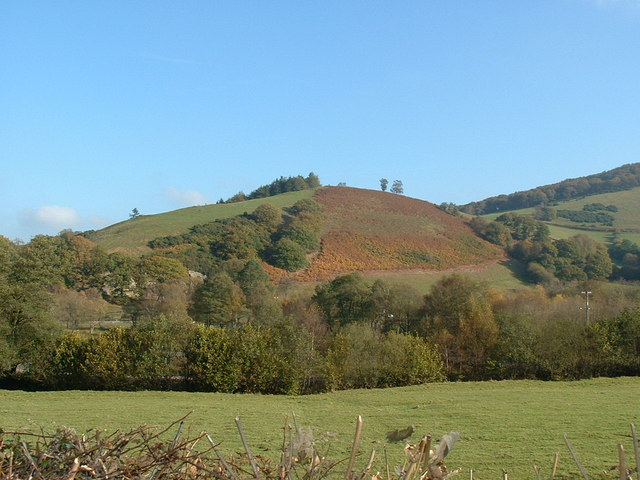
![Looking towards Castle Hill Across the embryo River Dulas [not labelled on the map in this area].](https://s3.geograph.org.uk/photos/41/68/416803_e2cd948a.jpg)

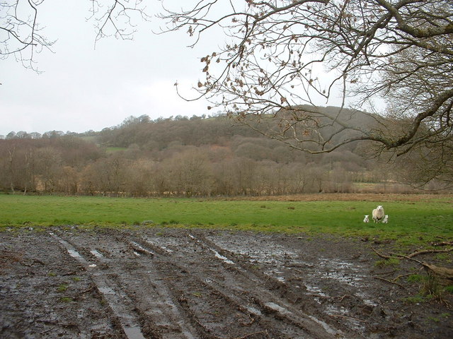
![The valley of the Afon Dulas Taken above the &#039;new&#039; track to Brynscolfa, which is not shown on the 1:50,000 or the 1:25,000 map. MAGIC, at 1:5,000, shows it clearly though. [MAGIC is the Multi-Agency Geographic Information for the Countryside website - a valuable Geographer&#039;s resource!]](https://s1.geograph.org.uk/photos/41/68/416805_d217b427.jpg)


Bwlch Wood is located at Grid Ref: SO0068 (Lat: 52.306358, Lng: -3.4590112)
Unitary Authority: Powys
Police Authority: Dyfed Powys
What 3 Words
///raking.colleague.skies. Near Rhayader, Powys
Nearby Locations
Related Wikis

Nantmel Landfill Site
Nantmel Landfill Site is a closed waste-disposal site situated in the community of Nantmel, Llandrindod Wells, Powys, Wales. It operated from 1960 to 1990...
Powys
Powys ( POH-iss, POW-iss, Welsh: [ˈpou̯ɪs]) is a county and preserved county in Wales. It borders Gwynedd, Denbighshire, and Wrexham to the north; the...
Old Swan, Rhayader
The Old Swan is a former historic public house at the centre of Rhayader, Powys, Wales. The buildings are timber framed and while there is a datestone...
Nantmel
Nantmel is a village and a community in Radnorshire, Powys, Wales, and is 76.5 miles (123.1 km) from Cardiff and 150.5 miles (242.2 km) from London. In...
Nearby Amenities
Located within 500m of 52.306358,-3.4590112Have you been to Bwlch Wood?
Leave your review of Bwlch Wood below (or comments, questions and feedback).