Berth-abley Wood
Wood, Forest in Radnorshire
Wales
Berth-abley Wood
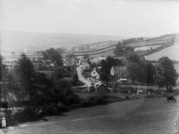
Berth-abley Wood is a picturesque forest located in Radnorshire, a county in Wales, United Kingdom. Covering an area of approximately 150 acres, the wood is a haven for nature enthusiasts and provides a tranquil escape from urban life.
The wood is predominantly made up of dense deciduous trees, including oak, beech, and birch, which create a stunning canopy during the summer months. The forest floor is adorned with a variety of wildflowers, creating a colorful and vibrant atmosphere. Berth-abley Wood is home to a rich diversity of wildlife, including deer, badgers, foxes, and numerous species of birds.
The wood is crisscrossed with a network of well-maintained footpaths, allowing visitors to explore its beauty at their own pace. These paths wind through the trees and lead to secluded clearings and small ponds, providing opportunities for peaceful reflection and wildlife watching. The forest also offers breathtaking views of the surrounding countryside, with rolling hills and meandering streams visible from certain vantage points.
Berth-abley Wood is a popular destination for hikers, nature photographers, and families looking for a day out in the great outdoors. There are several picnic areas and benches scattered throughout the wood, providing ideal spots for a leisurely lunch or a quiet moment to enjoy the surroundings.
Managed by the local authority, the wood is well-preserved and offers a range of facilities, including car parking and information boards. With its natural beauty and tranquil atmosphere, Berth-abley Wood is a must-visit destination for anyone seeking a peaceful retreat in the heart of Radnorshire.
If you have any feedback on the listing, please let us know in the comments section below.
Berth-abley Wood Images
Images are sourced within 2km of 52.308345/-3.4568029 or Grid Reference SO0068. Thanks to Geograph Open Source API. All images are credited.

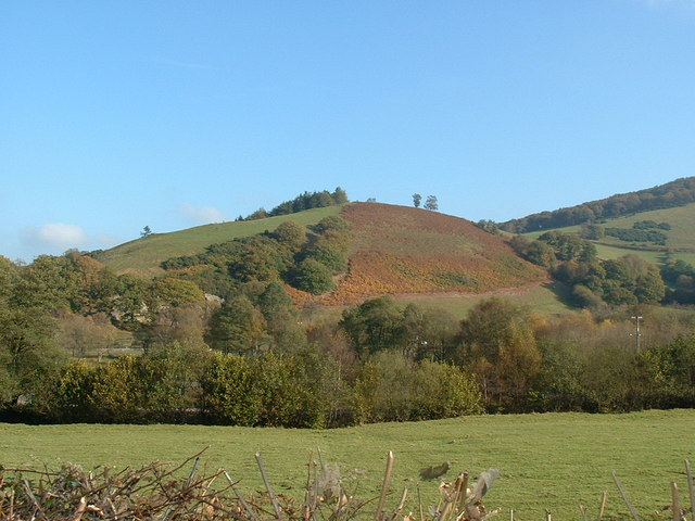
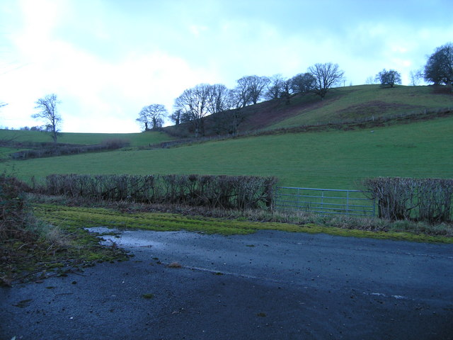
![Looking towards Castle Hill Across the embryo River Dulas [not labelled on the map in this area].](https://s3.geograph.org.uk/photos/41/68/416803_e2cd948a.jpg)

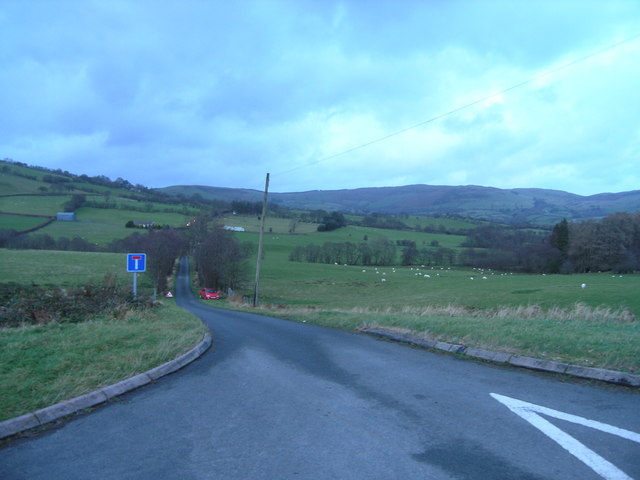
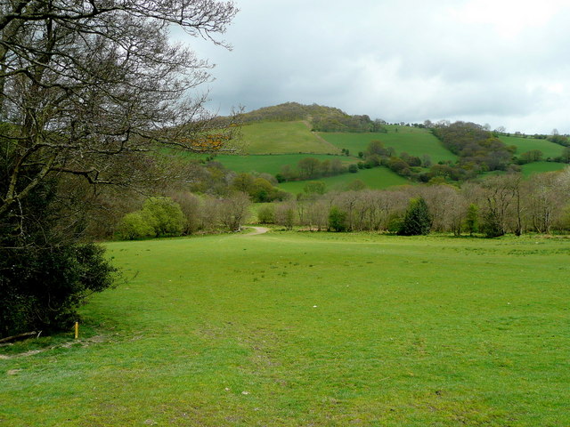
![The valley of the Afon Dulas Taken above the 'new' track to Brynscolfa, which is not shown on the 1:50,000 or the 1:25,000 map. MAGIC, at 1:5,000, shows it clearly though. [MAGIC is the Multi-Agency Geographic Information for the Countryside website - a valuable Geographer's resource!]](https://s1.geograph.org.uk/photos/41/68/416805_d217b427.jpg)


Berth-abley Wood is located at Grid Ref: SO0068 (Lat: 52.308345, Lng: -3.4568029)
Unitary Authority: Powys
Police Authority: Dyfed Powys
What 3 Words
///nibbles.flaking.plausible. Near Rhayader, Powys
Nearby Locations
Related Wikis
Powys
Powys ( POH-iss, POW-iss, Welsh: [ˈpou̯ɪs]) is a county and preserved county in Wales. It borders Gwynedd, Denbighshire, and Wrexham to the north; the...

Nantmel Landfill Site
Nantmel Landfill Site is a closed waste-disposal site situated in the community of Nantmel, Llandrindod Wells, Powys, Wales. It operated from 1960 to 1990...
Nantmel
Nantmel is a village and a community in Radnorshire, Powys, Wales, and is 76.5 miles (123.1 km) from Cardiff and 150.5 miles (242.2 km) from London. In...
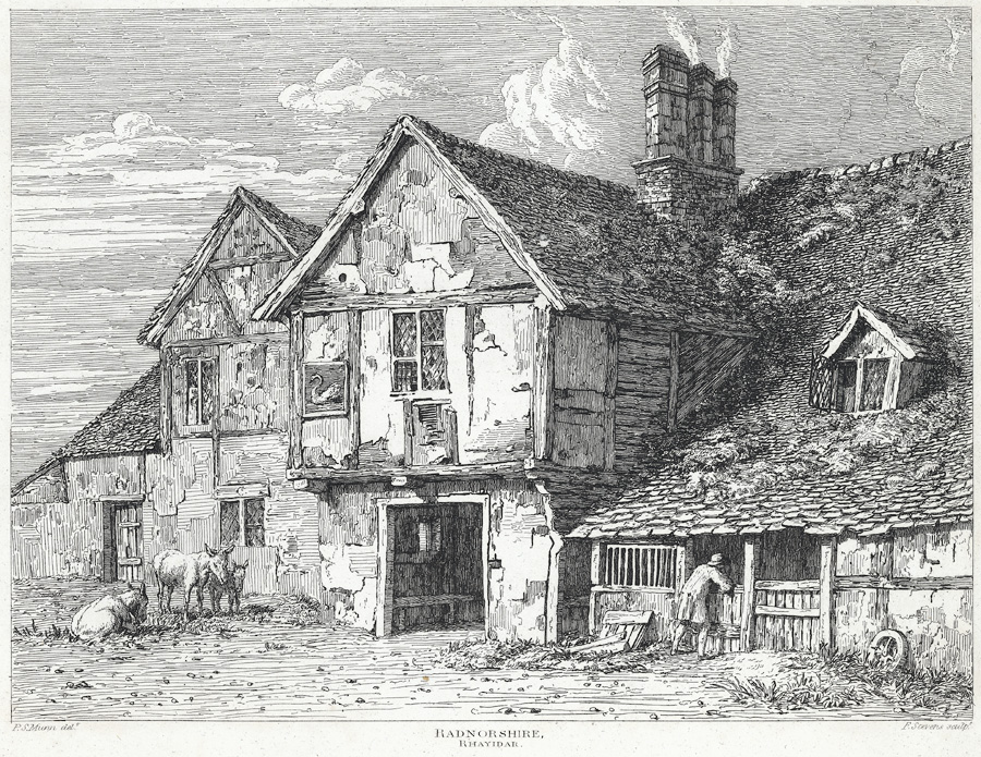
Old Swan, Rhayader
The Old Swan is a former historic public house at the centre of Rhayader, Powys, Wales. The buildings are timber framed and while there is a datestone...

Rhayader Town F.C.
Rhayader Town Football Club (Welsh: Clwb Pêl-droed Tref Rhaeadr Gwy) are a Welsh football team. The club dates from around 1884 and their ground is called...

Rhayader
Rhayader (; Welsh: Rhaeadr Gwy; pronounced [ˈr̥əɪadar ˈɡʊi̯]) is a market town and community in Powys, Wales, within the historic county of Radnorshire...

Nant Glas
Nant Glas (or Nant-glas) is a village in the Elan Valley near Rhayader and Llandrindod Wells in Powys, Wales. It is on a side road between the A44 to the...

Rhayader Rural District
Rhayader was, from 1894 to 1974, a rural district in the administrative county of Radnorshire, Wales. The district was formed by the Local Government Act...
Nearby Amenities
Located within 500m of 52.308345,-3.4568029Have you been to Berth-abley Wood?
Leave your review of Berth-abley Wood below (or comments, questions and feedback).