Allt Wen
Wood, Forest in Montgomeryshire
Wales
Allt Wen
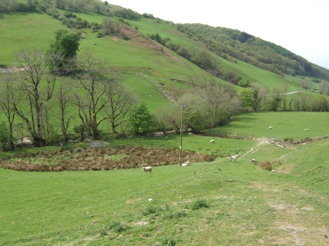
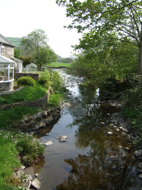
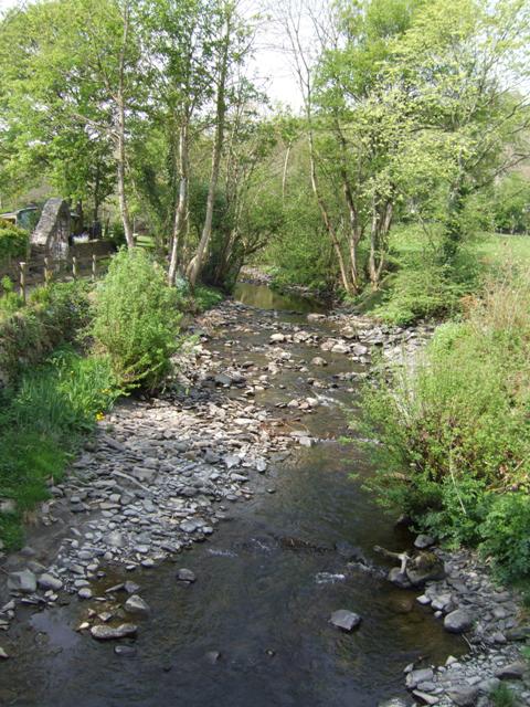
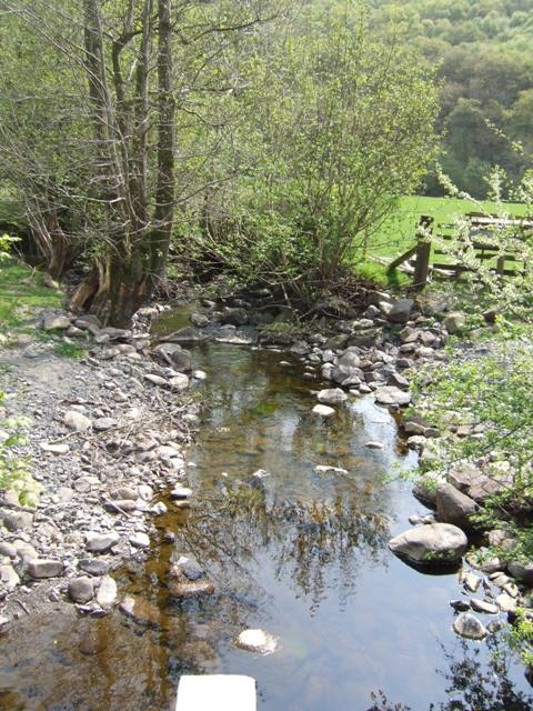
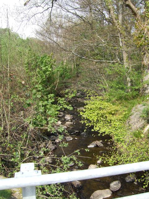
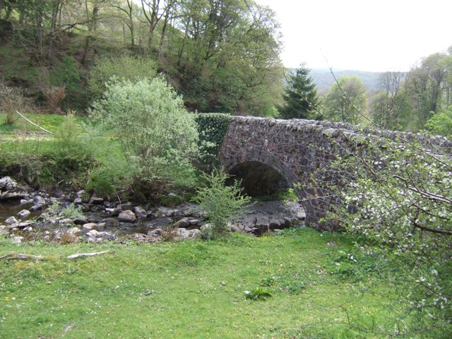
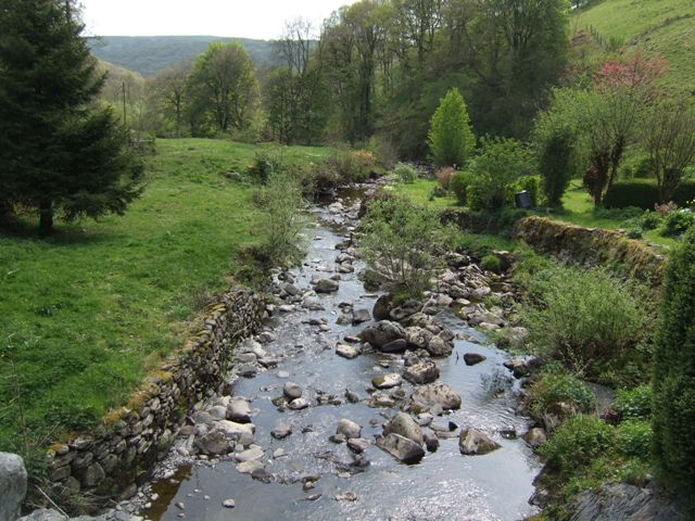
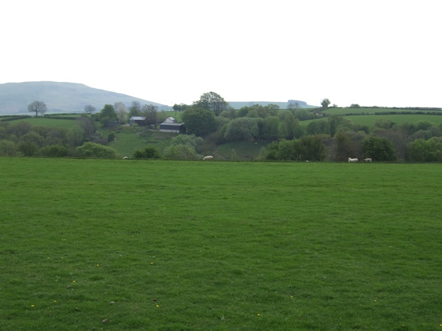
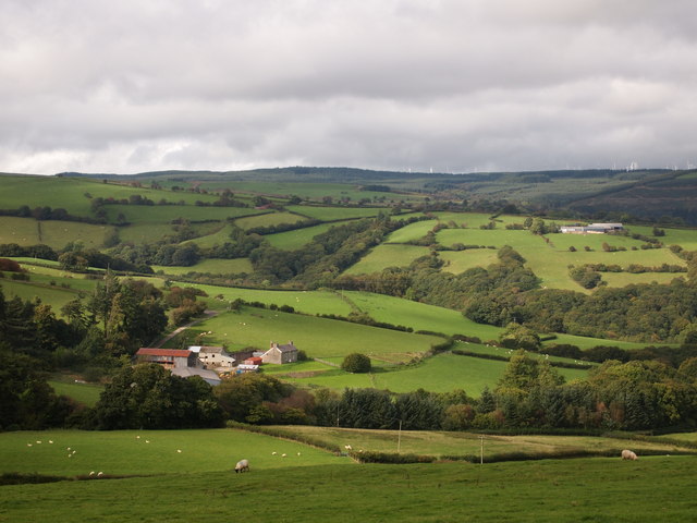
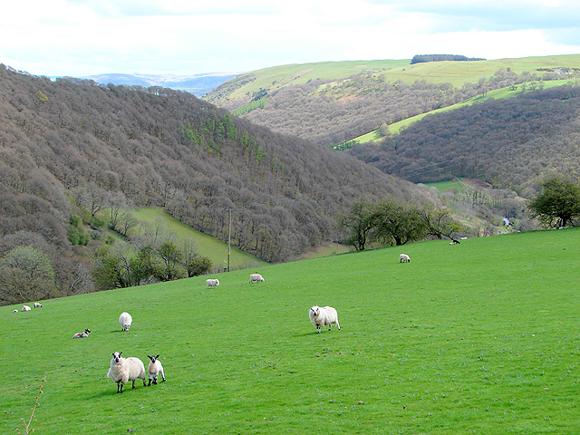
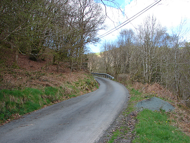
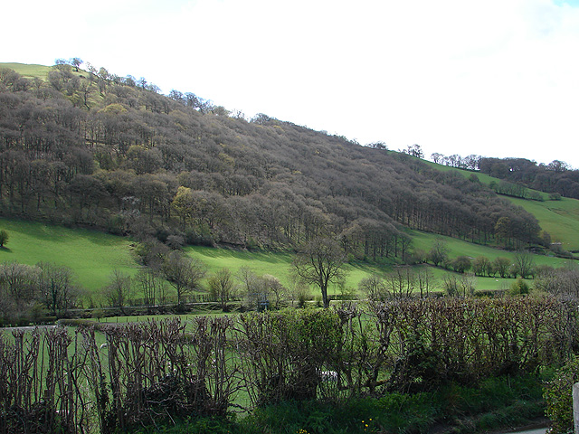
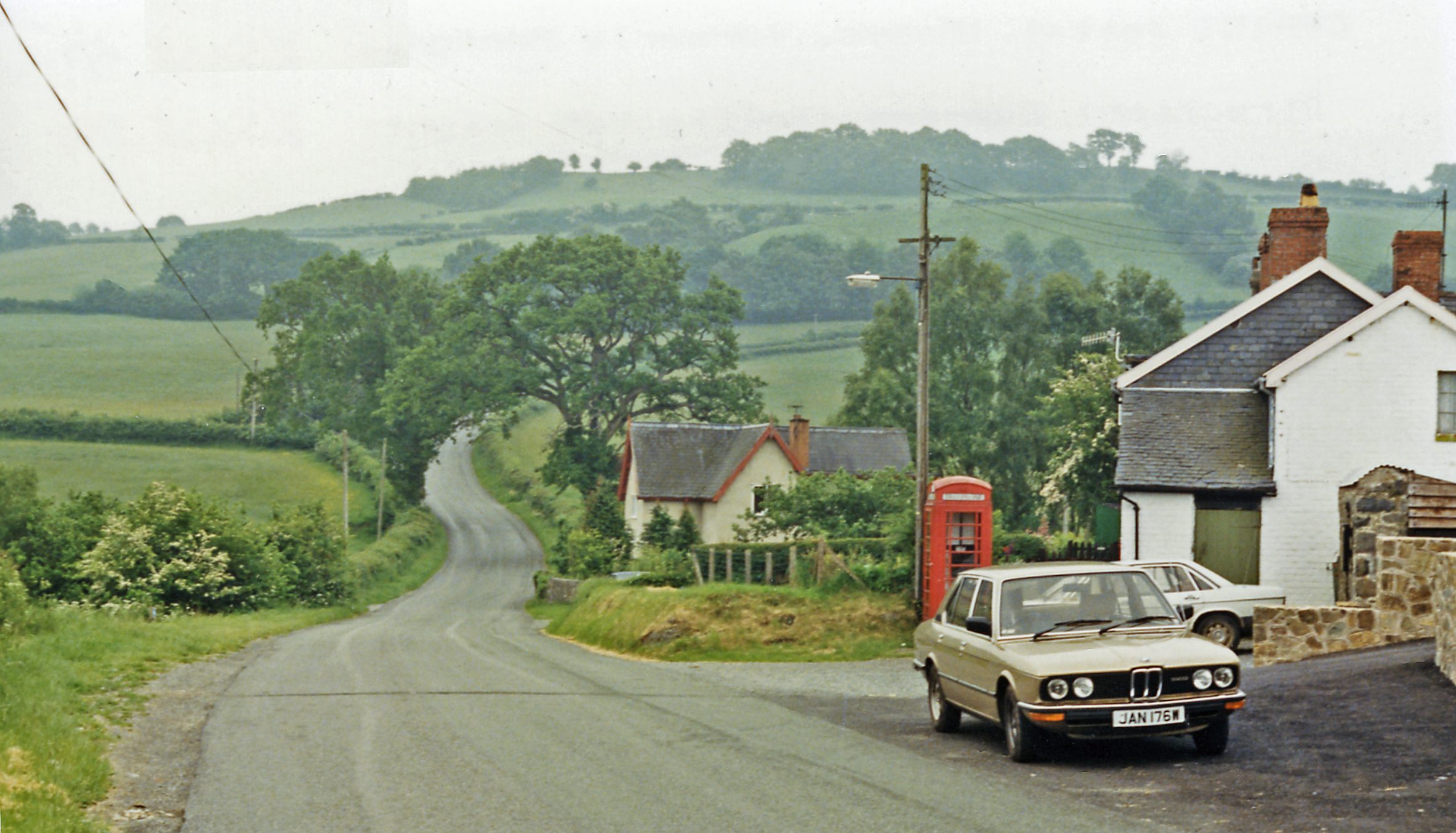
Allt Wen is a small woodland located in Montgomeryshire, Wales. It is nestled on the eastern slopes of the Cambrian Mountains, covering an area of approximately 100 acres. The woodland is predominantly made up of native broadleaf trees such as oak, beech, and ash, creating a rich and diverse ecosystem.
The forest is a haven for wildlife, providing a habitat for various species of birds, mammals, and insects. It is home to a number of rare and protected species, including red squirrels, dormice, and lesser horseshoe bats. Additionally, the woodland boasts a wide variety of wildflowers and fungi, adding to its natural beauty.
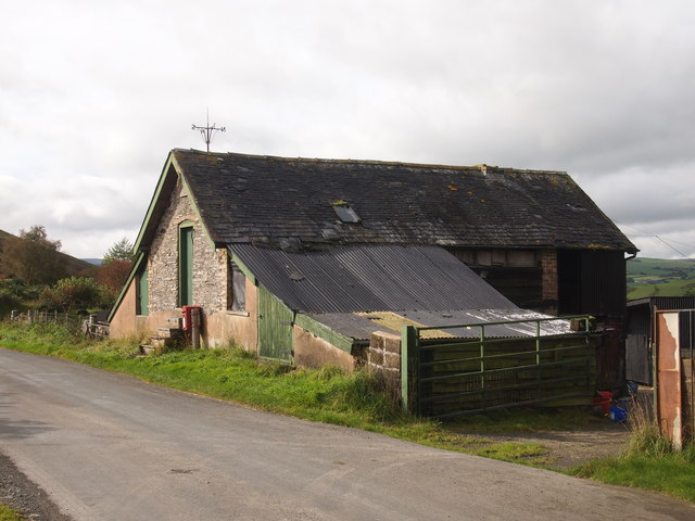
Allt Wen offers numerous walking trails and paths, allowing visitors to explore the woodland and experience its tranquility and serenity. The well-maintained paths cater to all levels of walkers, from leisurely strolls to more challenging hikes. The wood also features a picnic area, where visitors can relax and enjoy the stunning views of the surrounding countryside.
The forest is managed by the local conservation trust, which works tirelessly to preserve and enhance the natural features of Allt Wen. This includes ongoing efforts to protect and promote biodiversity, as well as maintaining the paths and facilities for the enjoyment of visitors.
Overall, Allt Wen is a picturesque woodland that offers a peaceful retreat for nature lovers and outdoor enthusiasts. Its rich biodiversity, scenic beauty, and well-maintained trails make it a popular destination for locals and tourists alike.
If you have any feedback on the listing, please let us know in the comments section below.
Allt Wen Images
Images are sourced within 2km of 52.504248/-3.5799038 or Grid Reference SN9290. Thanks to Geograph Open Source API. All images are credited.
Allt Wen is located at Grid Ref: SN9290 (Lat: 52.504248, Lng: -3.5799038)
Unitary Authority: Powys
Police Authority: Dyfed Powys
What 3 Words
///cabbages.graph.pocketed. Near Staylittle, Powys
Nearby Locations
Related Wikis

Llawryglyn
Llawr y Glyn (or Llawryglyn) is a hamlet in Powys, Wales. It lies about 10 miles west of the town of Newtown, in the historic county of Montgomeryshire...
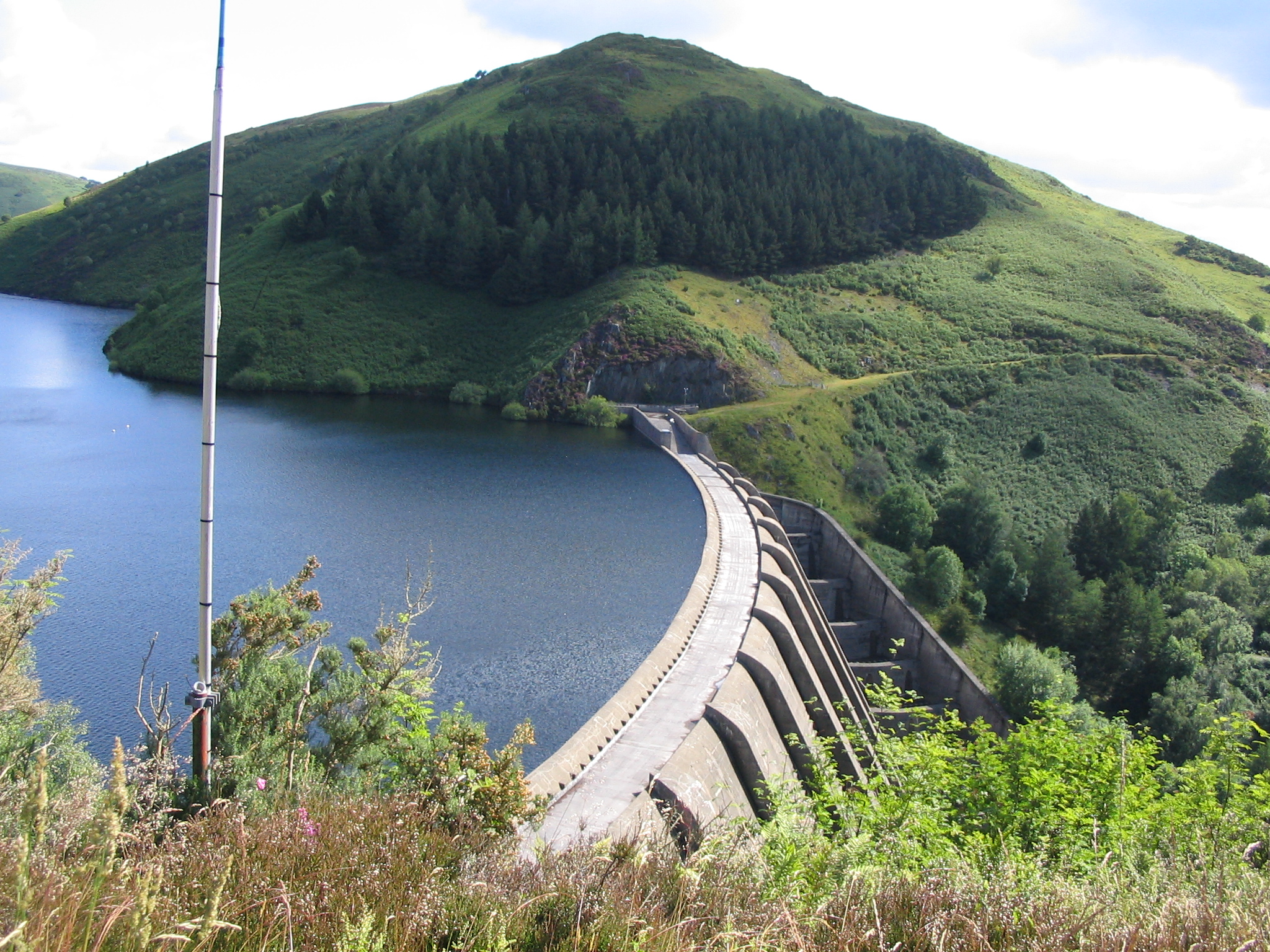
Clywedog Reservoir
The Clywedog Reservoir (Welsh: Llyn Clywedog) is a reservoir near Llanidloes, Wales on the head-waters of the River Severn. The construction of the reservoir...
Garth and Van Road railway station
Garth and Van Road railway station served the village of Garth, in the historical county of Montgomeryshire, Wales, from 1873 to 1940 on the Van Railway...

Van, Llanidloes
Van (Welsh: Y Fan) is a hamlet in Powys, Mid Wales, located to the north west of Llanidloes. Its name, an anglicisation of the local Welsh placename "Fan...
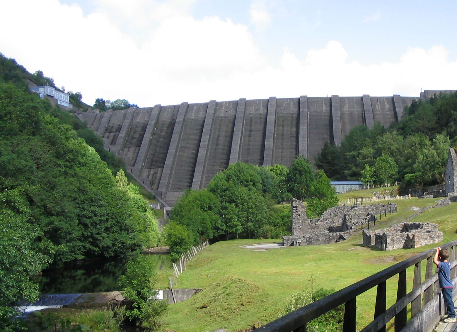
Bryntail lead mine
Bryntail lead mine is a disused lead mine near Llanidloes in Powys, Wales. Sited on the Afon Clywedog and in the shadow on the Clywedog reservoir dam,...
Cerist railway station
Cerist railway station served the town of Llanidloes, in the historical county of Montgomeryshire, Wales, from 1873 to 1940 on the Van Railway. == History... ==
Trefeglwys
Trefeglwys is a village and community in Powys, Wales, within the historic county of Montgomeryshire. The name derives from the Welsh language tref 'township...
Staylittle
Staylittle (Welsh: Penffordd-las), sometimes referred to colloquially as Y Stay or Y Stae, is a small village set in the shallow upland basin of the Afon...
Nearby Amenities
Located within 500m of 52.504248,-3.5799038Have you been to Allt Wen?
Leave your review of Allt Wen below (or comments, questions and feedback).