Coed Mawr
Wood, Forest in Brecknockshire
Wales
Coed Mawr

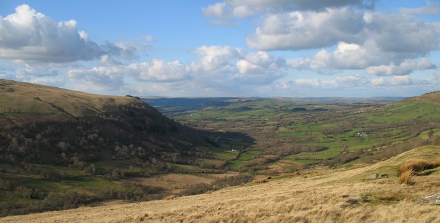
Coed Mawr, located in Brecknockshire, Wales, is a picturesque wood known for its enchanting forest and natural beauty. Covering an area of approximately 100 acres, it is a haven for nature lovers and seekers of tranquility.
The wood is nestled in the heart of the Brecon Beacons National Park, a designated Area of Outstanding Natural Beauty. Coed Mawr boasts a diverse range of trees, including native species such as oak, beech, and birch. The canopy formed by these majestic trees creates a serene and peaceful atmosphere, making it a popular destination for those seeking solitude and quiet reflection.
The forest floor is adorned with a rich carpet of wildflowers, ferns, and mosses, adding to the charm and beauty of Coed Mawr. It is also home to a variety of wildlife, including foxes, badgers, and numerous species of birds, making it a paradise for nature enthusiasts and birdwatchers.
A network of well-maintained footpaths and trails meander through the wood, inviting visitors to explore its hidden gems. The paths lead to breathtaking viewpoints, providing stunning vistas of the surrounding countryside and the nearby Black Mountains.
Coed Mawr is not only a place of natural beauty but also holds historical significance. It was once part of a larger estate owned by a local landowner and has been cherished and protected for generations.
Visitors to Coed Mawr can immerse themselves in the tranquility of the forest, enjoying peaceful walks, photography, or simply basking in the serenity of nature. It is a place where one can escape from the hustle and bustle of everyday life and reconnect with the natural world.
If you have any feedback on the listing, please let us know in the comments section below.
Coed Mawr Images
Images are sourced within 2km of 51.945686/-3.5597732 or Grid Reference SN9228. Thanks to Geograph Open Source API. All images are credited.


Coed Mawr is located at Grid Ref: SN9228 (Lat: 51.945686, Lng: -3.5597732)
Unitary Authority: Powys
Police Authority: Dyfed Powys
What 3 Words
///beyond.shack.aimed. Near Cray, Powys
Nearby Locations
Related Wikis
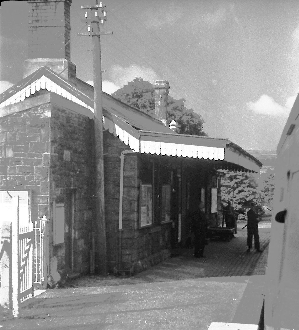
Devynock & Sennybridge railway station
Devynock & Sennybridge railway station was a station in Defynnog, Powys, Wales. The station opened in 1867 and closed in 1962. It had a signal box and...
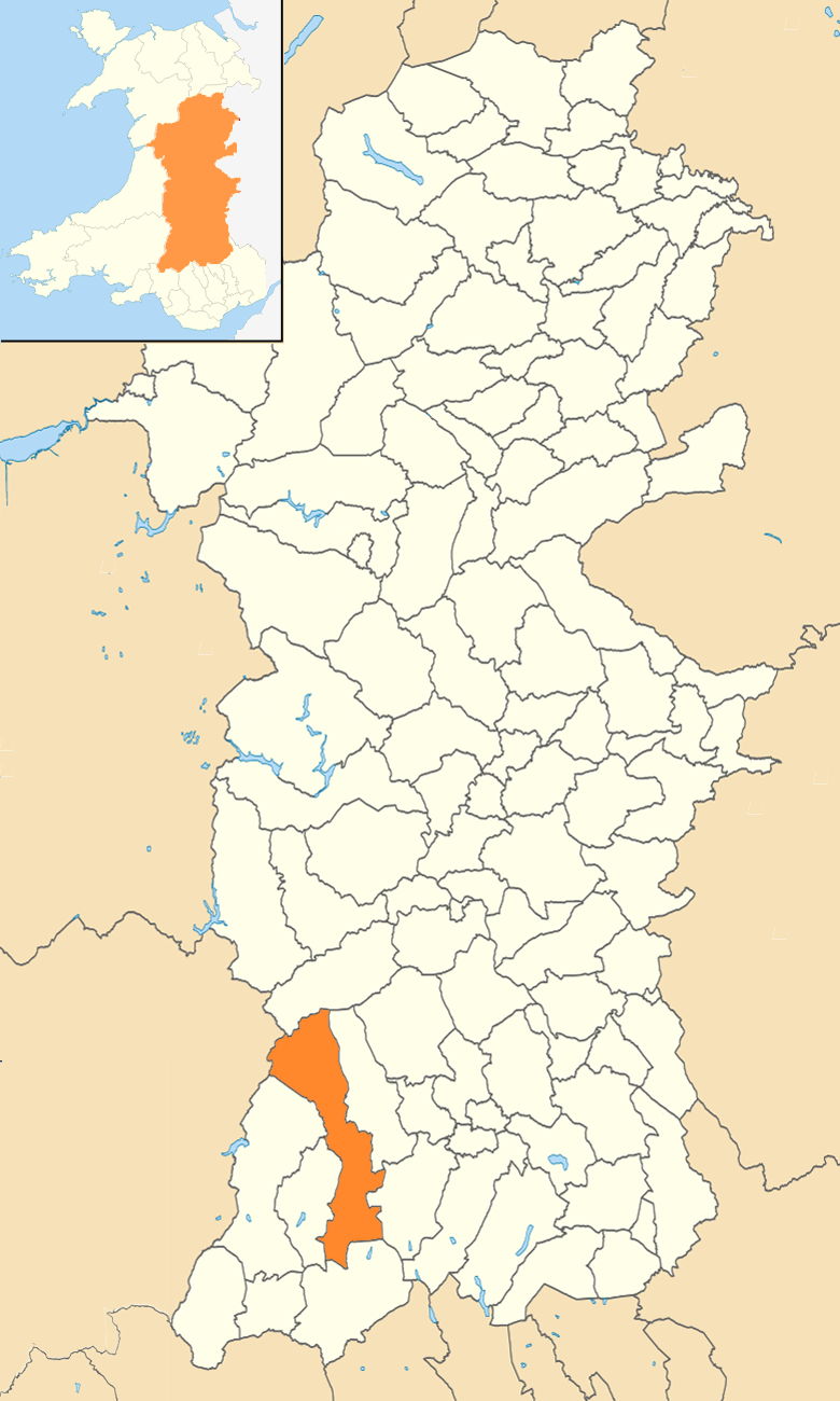
Maescar
Maescar is a community in the county of Powys, Wales, and is 35.4 miles (56.9 km) from Cardiff and 148.7 miles (239.3 km) from London. It is in the historic...

Sennybridge
Sennybridge (Welsh: Pontsenni) is a village in Powys, Wales, in the historic county of Brecknockshire, situated some 42 miles (68 km) from Cardiff and...
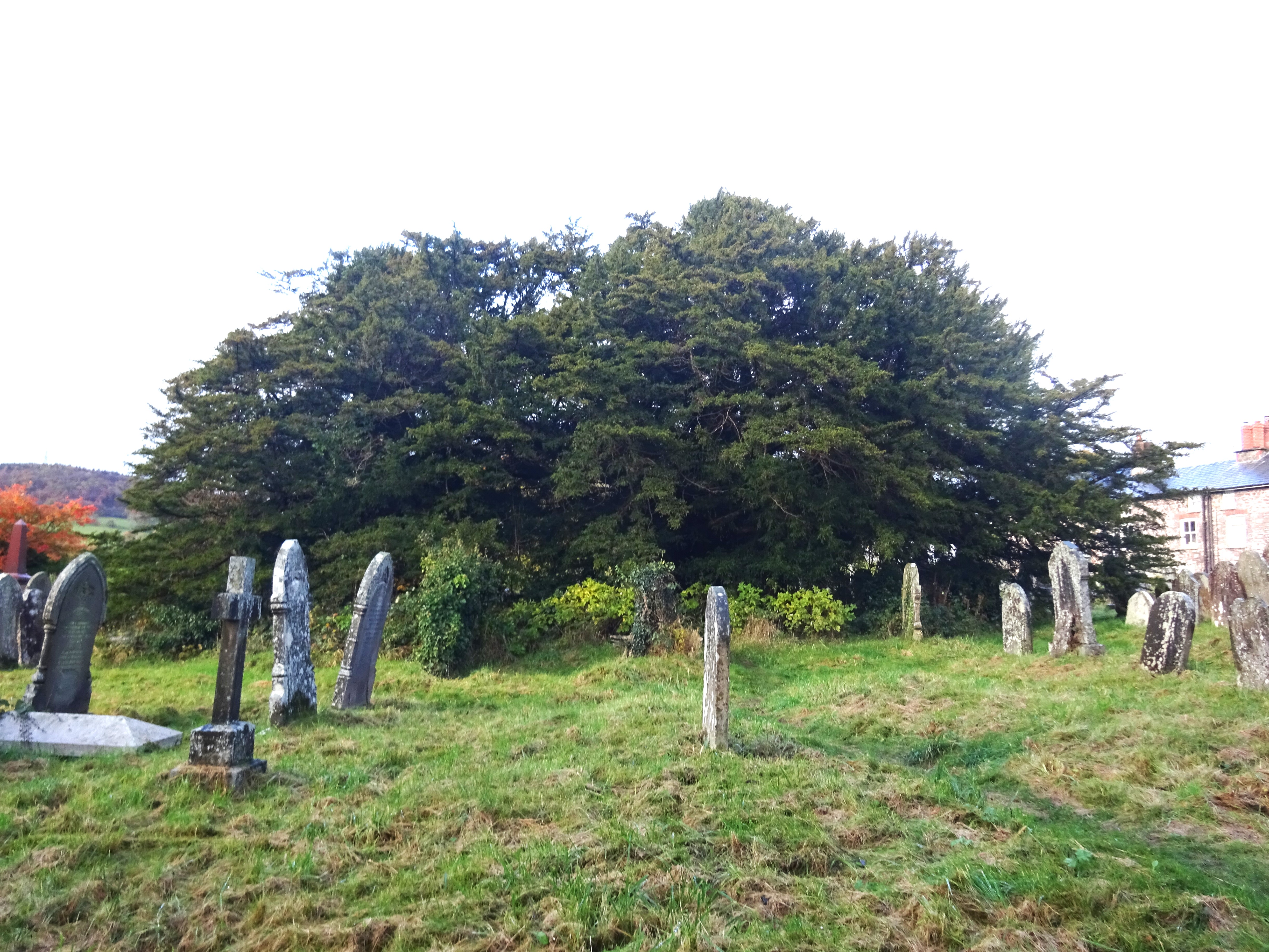
Defynnog Yew
The Defynnog Yew or in Welsh, the Yewen Defynnog (SN9253027960) is one of a group of ancient yews (Taxus baccata) in the churchyard of St Cynog church...

Defynnog
Defynnog, also known as Devynock in some historical documents, is a small village in the community of Maescar in the historic county of Brecknockshire...
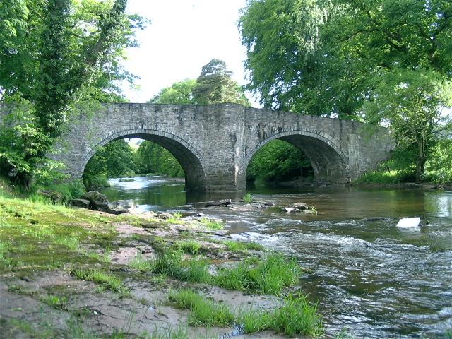
Afon Senni
The Afon Senni is a river in Powys, Wales which rises in the Fforest Fawr section of the Brecon Beacons National Park and flows northwards for 11 kilometres...

Castell Du
Castell Du (Welsh for 'black castle'), also known as Sennybridge Castle or Castell Rhyd-y-Briw, is located approximately eight miles west of Brecon in...
Afon Cilieni
The Afon Cilieni is a short river which rises on the southern slopes of Mynydd Epynt in Powys, Wales. The name may mean ' the river rising in a small nook...
Have you been to Coed Mawr?
Leave your review of Coed Mawr below (or comments, questions and feedback).