Cwm Cidyn
Valley in Montgomeryshire
Wales
Cwm Cidyn
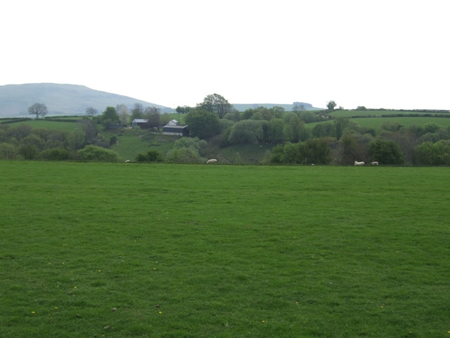
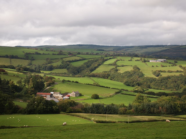
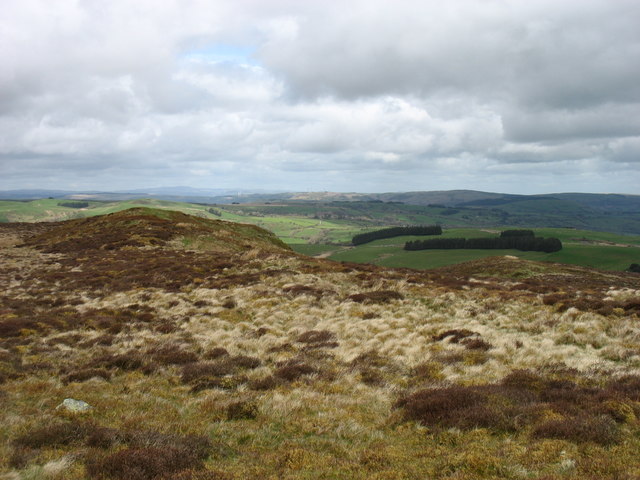
Cwm Cidyn is a picturesque valley located in Montgomeryshire, a historic county in Wales, United Kingdom. Nestled amidst rolling hills and lush greenery, it is renowned for its stunning natural beauty and serene atmosphere. The valley stretches for approximately 5 miles and is home to a small community of residents.
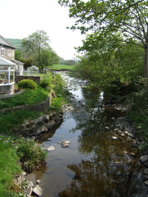
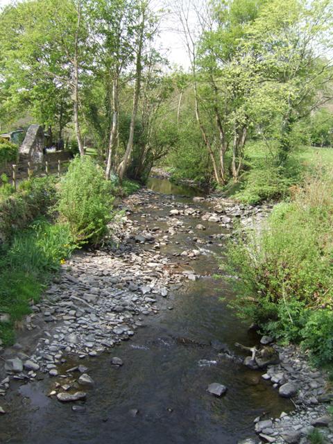
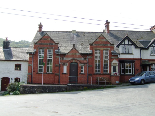
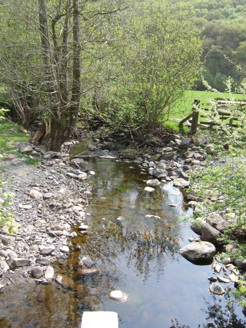
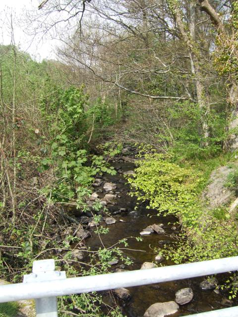
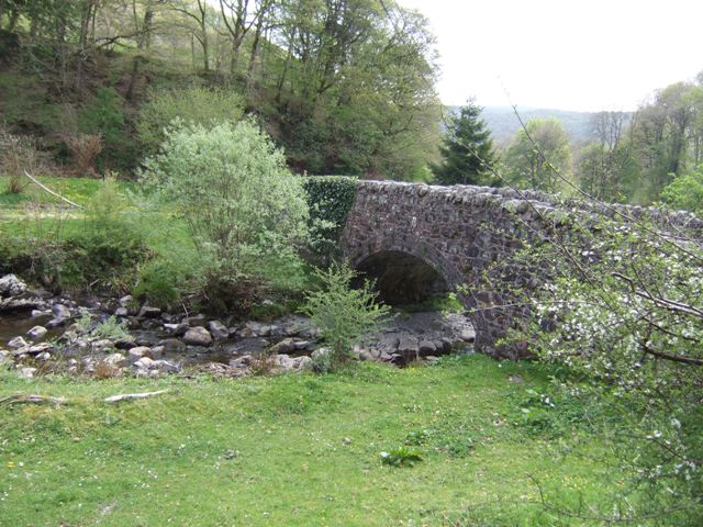
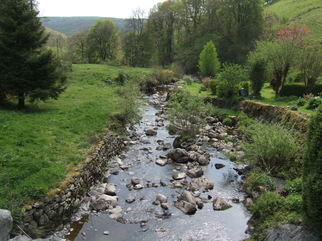
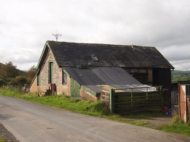
The landscape of Cwm Cidyn is characterized by its winding river, also called the Cidyn, which runs through the heart of the valley. The river is flanked by verdant meadows, dense woodlands, and towering hills that provide a scenic backdrop to the area. The valley is dotted with charming cottages, farms, and a few scattered hamlets, adding to its rural charm.
Cwm Cidyn offers ample opportunities for outdoor activities and exploration. The valley is crisscrossed by numerous footpaths and trails, making it a haven for hikers and nature enthusiasts. Visitors can enjoy leisurely walks along the riverbanks, take in breathtaking views from the hilltops, or simply bask in the tranquility of the surroundings.
The valley is also rich in wildlife, with a diverse range of flora and fauna inhabiting the area. Birdwatchers can spot various species of birds, including buzzards, kingfishers, and herons, while rabbits, foxes, and badgers are often seen in the woodlands.
For those seeking a peaceful retreat amidst nature's embrace, Cwm Cidyn offers a idyllic escape. Its unspoiled beauty and serene atmosphere make it a hidden gem in Montgomeryshire, inviting visitors to immerse themselves in the enchanting surroundings of this charming valley.
If you have any feedback on the listing, please let us know in the comments section below.
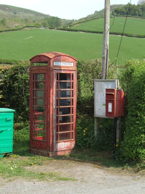
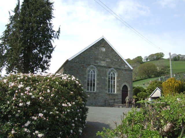
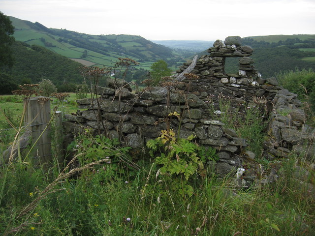
Cwm Cidyn Images
Images are sourced within 2km of 52.497292/-3.5863719 or Grid Reference SN9290. Thanks to Geograph Open Source API. All images are credited.


Cwm Cidyn is located at Grid Ref: SN9290 (Lat: 52.497292, Lng: -3.5863719)
Unitary Authority: Powys
Police Authority: Dyfed Powys
What 3 Words
///amending.husband.worksheet. Near Staylittle, Powys
Nearby Locations
Related Wikis

Llawryglyn
Llawr y Glyn (or Llawryglyn) is a hamlet in Powys, Wales. It lies about 10 miles west of the town of Newtown, in the historic county of Montgomeryshire...
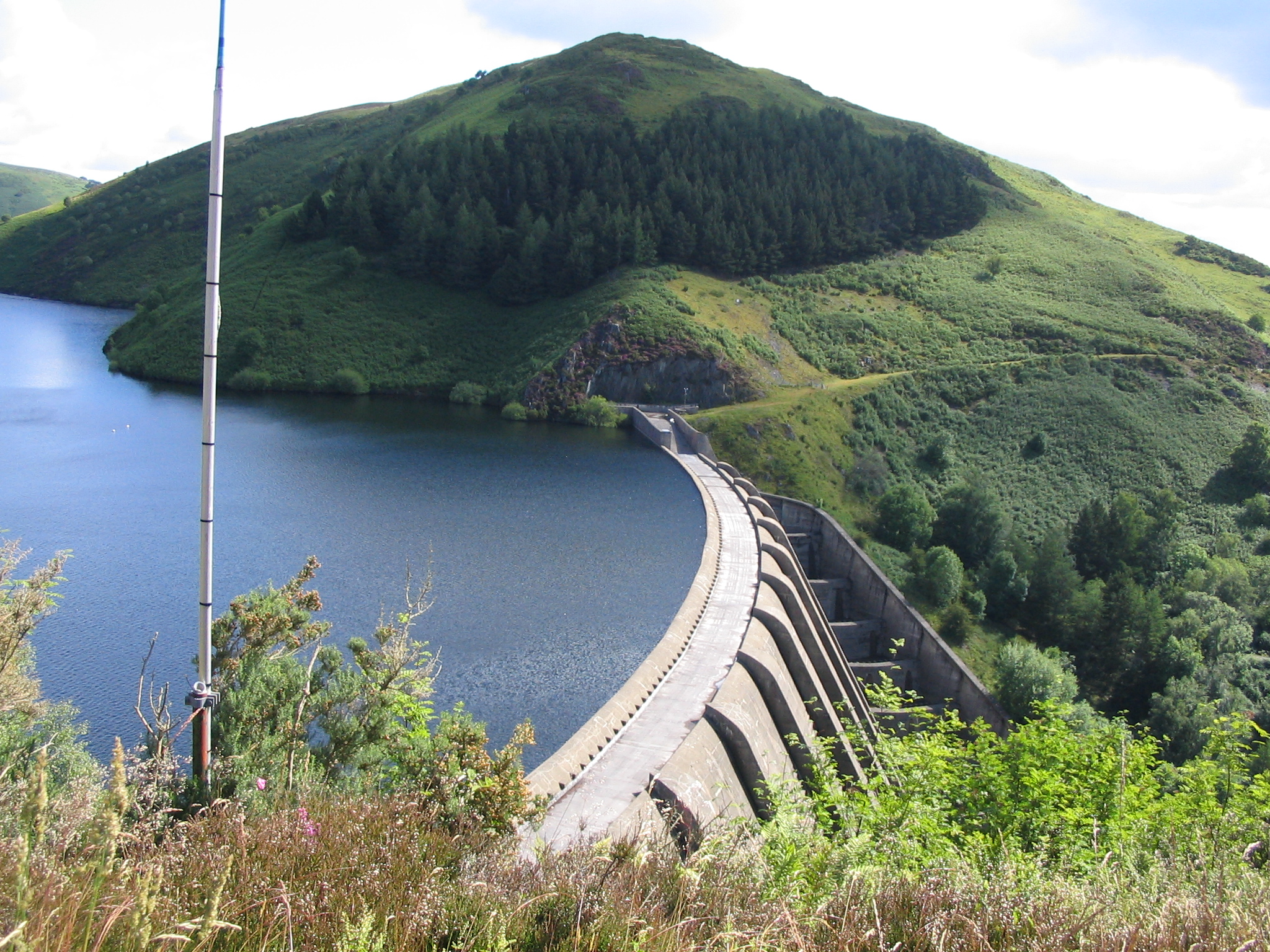
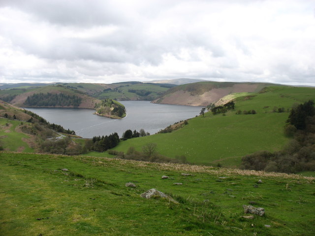
Clywedog Reservoir
The Clywedog Reservoir (Welsh: Llyn Clywedog) is a reservoir near Llanidloes, Wales on the head-waters of the River Severn. The construction of the reservoir...
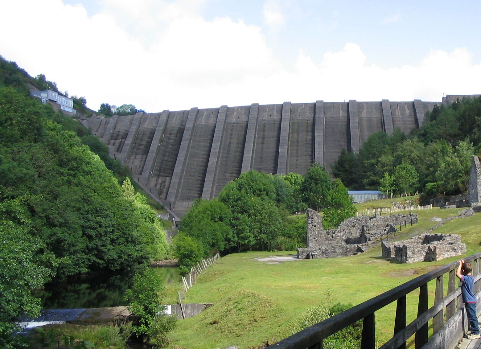
Bryntail lead mine
Bryntail lead mine is a disused lead mine near Llanidloes in Powys, Wales. Sited on the Afon Clywedog and in the shadow on the Clywedog reservoir dam,...
Garth and Van Road railway station
Garth and Van Road railway station served the village of Garth, in the historical county of Montgomeryshire, Wales, from 1873 to 1940 on the Van Railway...

Van, Llanidloes
Van (Welsh: Y Fan) is a hamlet in Powys, Mid Wales, located to the north west of Llanidloes. Its name, an anglicisation of the local Welsh placename "Fan...
Cerist railway station
Cerist railway station served the town of Llanidloes, in the historical county of Montgomeryshire, Wales, from 1873 to 1940 on the Van Railway. == History... ==
Staylittle
Staylittle (Welsh: Penffordd-las), sometimes referred to colloquially as Y Stay or Y Stae, is a small village set in the shallow upland basin of the Afon...
Trefeglwys
Trefeglwys is a village and community in Powys, Wales, within the historic county of Montgomeryshire. The name derives from the Welsh language tref 'township...
Nearby Amenities
Located within 500m of 52.497292,-3.5863719Have you been to Cwm Cidyn?
Leave your review of Cwm Cidyn below (or comments, questions and feedback).