Coed Gwernafon
Wood, Forest in Montgomeryshire
Wales
Coed Gwernafon
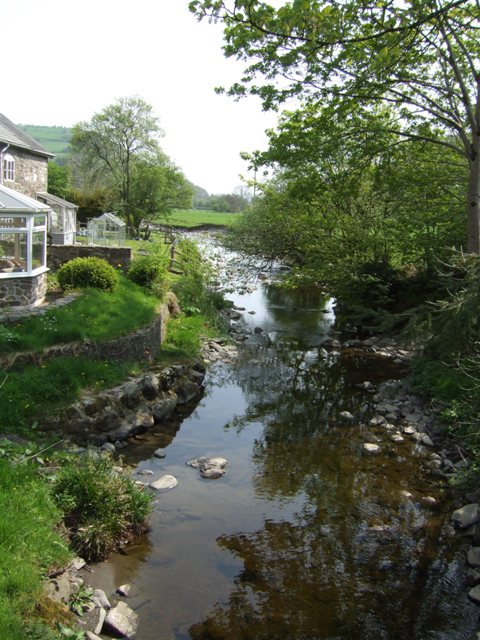
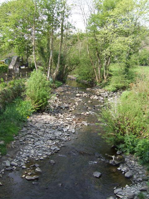
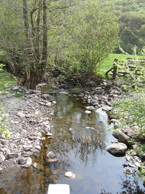
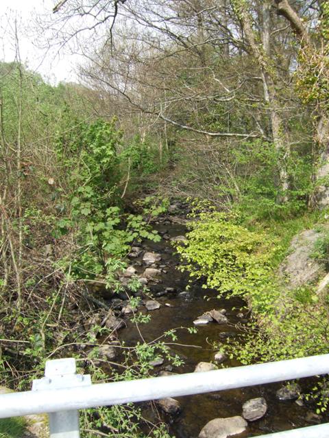
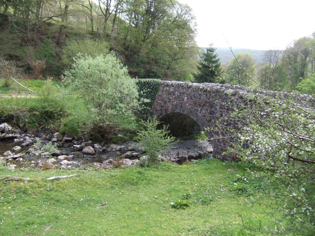
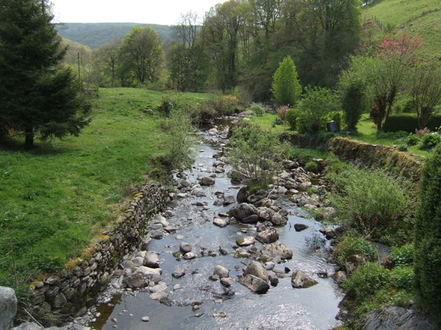
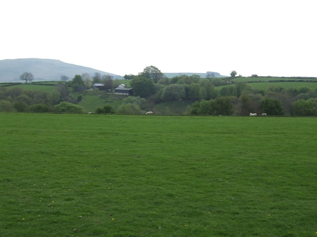
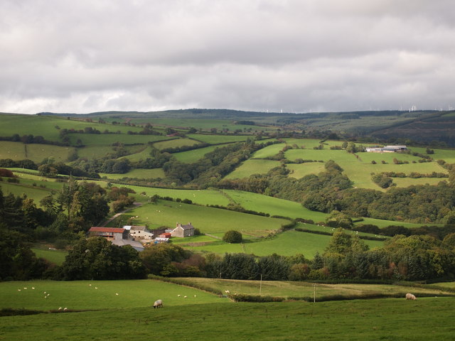
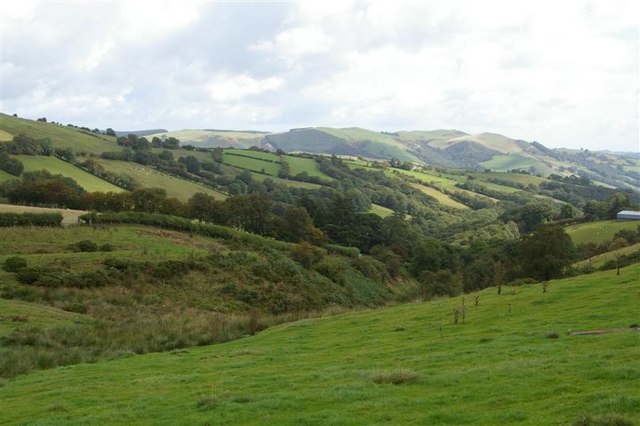
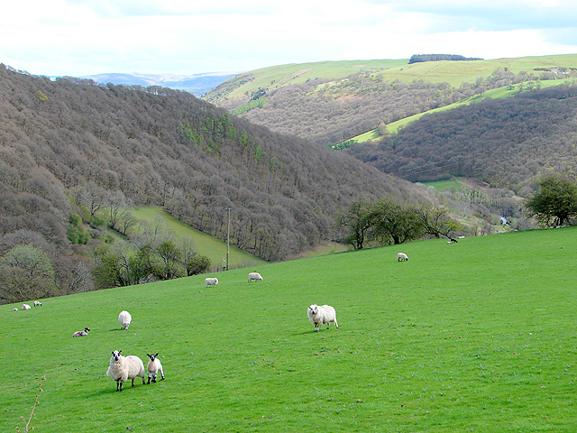
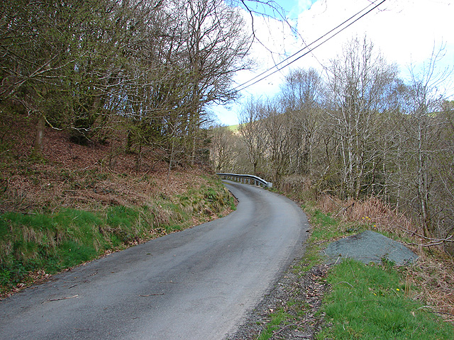
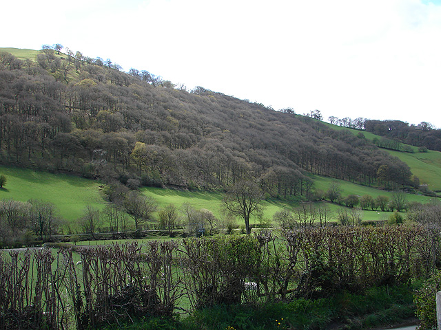
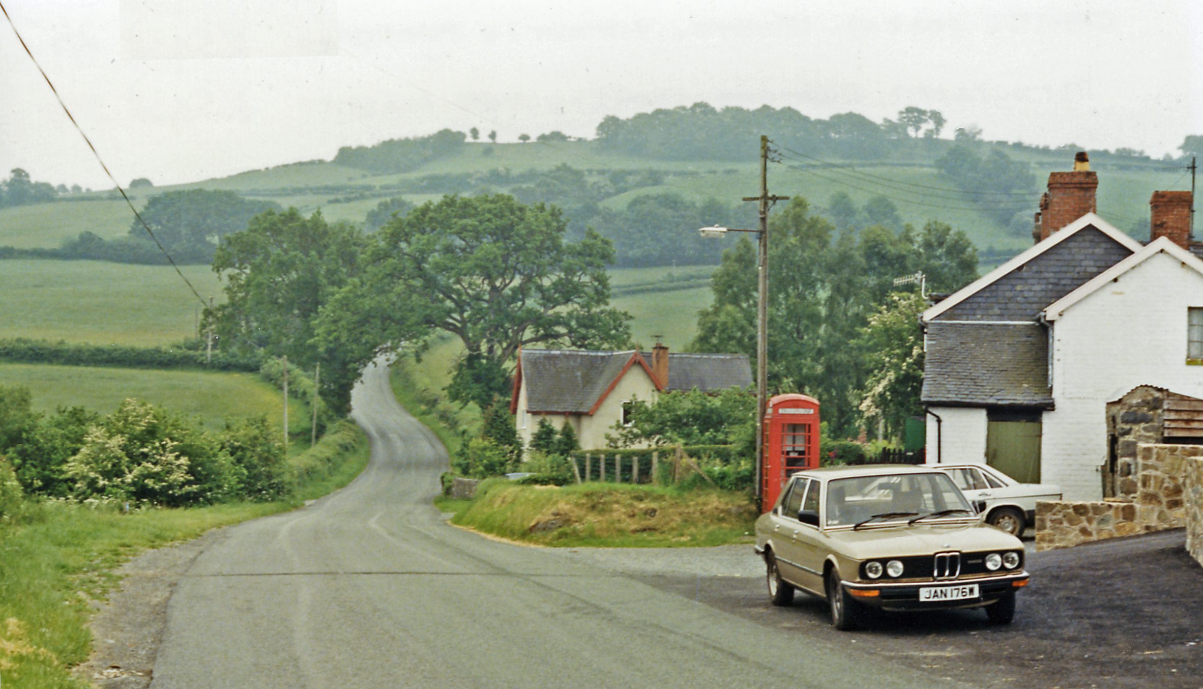
Coed Gwernafon is a picturesque woodland located in Montgomeryshire, Wales. Covering an area of approximately 500 acres, it is known for its stunning natural beauty and rich biodiversity. The woodland is situated in the heart of the Welsh countryside, with rolling hills and meandering streams adding to its charm.
Coed Gwernafon is predominantly made up of native broadleaf trees, including oak, beech, ash, and birch. The dense canopy created by these trees provides a sheltered habitat for a wide range of wildlife. Visitors to the woodland can expect to encounter a variety of bird species, such as woodpeckers, owls, and buzzards, as well as small mammals like badgers, foxes, and squirrels.
The woodland is crisscrossed with a network of well-maintained footpaths, making it easily accessible to walkers and nature enthusiasts. These paths offer stunning views of the surrounding countryside and allow visitors to explore the diverse flora and fauna that call Coed Gwernafon home. In spring, the woodland floor is carpeted with bluebells, while in autumn, the trees put on a vibrant display of red, orange, and gold.
Coed Gwernafon is not only a haven for wildlife but also serves as an important recreational space for the local community. It offers opportunities for outdoor activities such as hiking, cycling, and picnicking. The tranquil atmosphere and beautiful surroundings make it a popular destination for those seeking solace in nature.
In summary, Coed Gwernafon is a stunning woodland in Montgomeryshire, Wales, renowned for its natural beauty and diverse wildlife. It provides a peaceful escape for visitors and serves as an important habitat for a wide range of plants and animals.
If you have any feedback on the listing, please let us know in the comments section below.
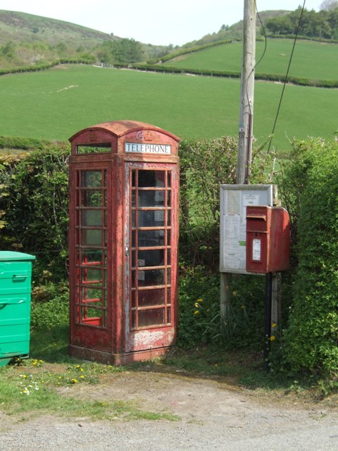
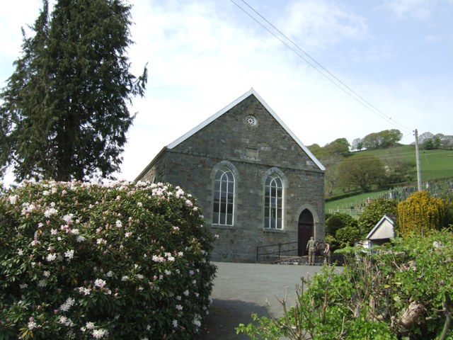
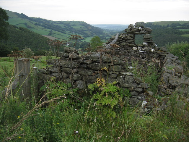
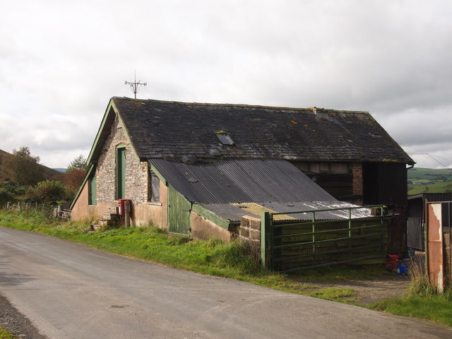
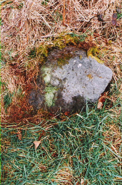
Coed Gwernafon Images
Images are sourced within 2km of 52.50255/-3.5845133 or Grid Reference SN9290. Thanks to Geograph Open Source API. All images are credited.
Coed Gwernafon is located at Grid Ref: SN9290 (Lat: 52.50255, Lng: -3.5845133)
Unitary Authority: Powys
Police Authority: Dyfed Powys
What 3 Words
///showdown.state.lyricism. Near Staylittle, Powys
Nearby Locations
Related Wikis

Llawryglyn
Llawr y Glyn (or Llawryglyn) is a hamlet in Powys, Wales. It lies about 10 miles west of the town of Newtown, in the historic county of Montgomeryshire...
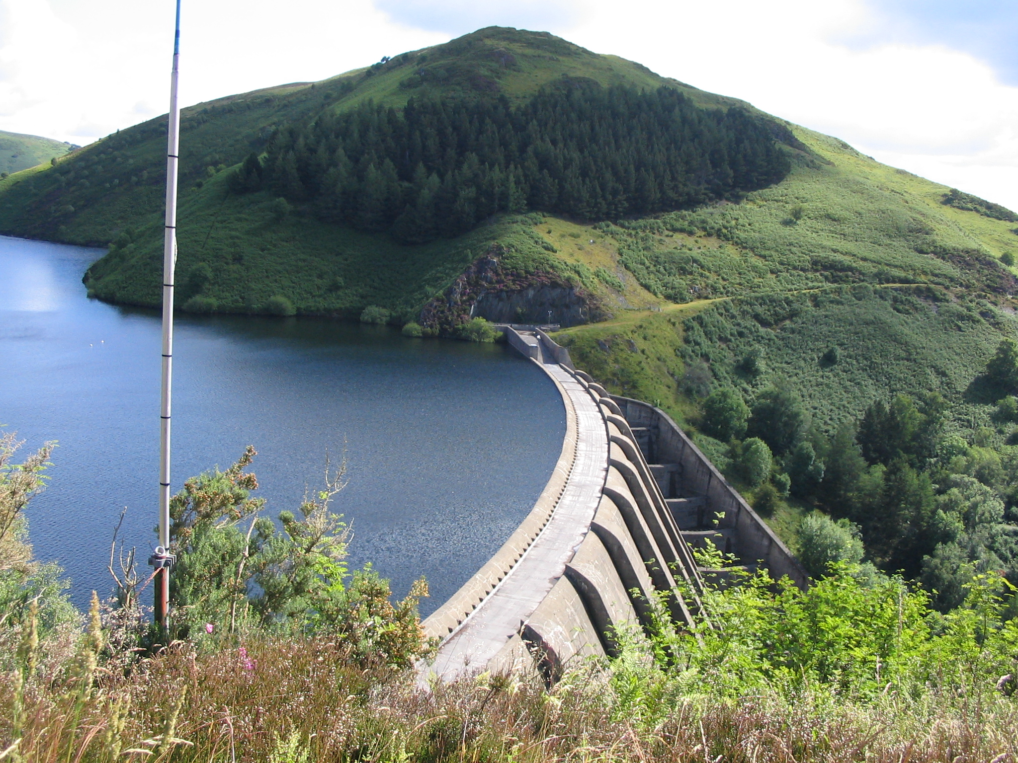
Clywedog Reservoir
The Clywedog Reservoir (Welsh: Llyn Clywedog) is a reservoir near Llanidloes, Wales on the head-waters of the River Severn. The construction of the reservoir...
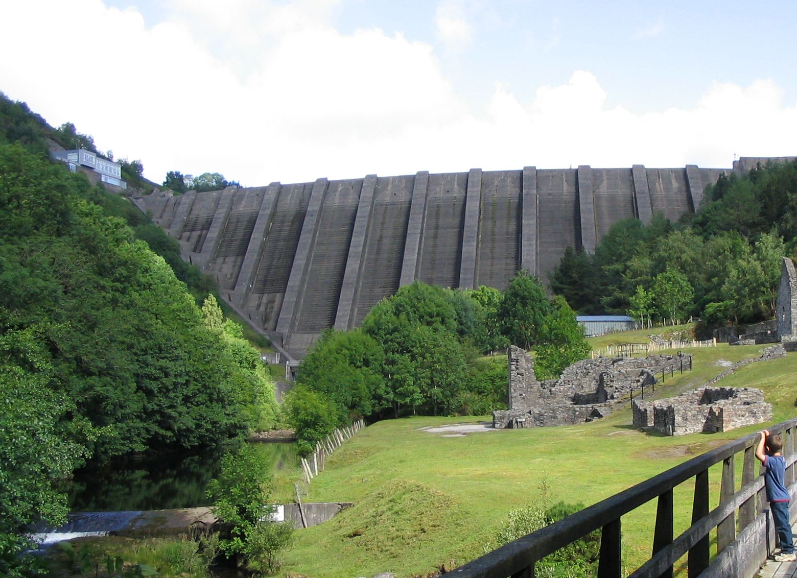
Bryntail lead mine
Bryntail lead mine is a disused lead mine near Llanidloes in Powys, Wales. Sited on the Afon Clywedog and in the shadow on the Clywedog reservoir dam,...
Garth and Van Road railway station
Garth and Van Road railway station served the village of Garth, in the historical county of Montgomeryshire, Wales, from 1873 to 1940 on the Van Railway...

Van, Llanidloes
Van (Welsh: Y Fan) is a hamlet in Powys, Mid Wales, located to the north west of Llanidloes. Its name, an anglicisation of the local Welsh placename "Fan...
Staylittle
Staylittle (Welsh: Penffordd-las), sometimes referred to colloquially as Y Stay or Y Stae, is a small village set in the shallow upland basin of the Afon...
Cerist railway station
Cerist railway station served the town of Llanidloes, in the historical county of Montgomeryshire, Wales, from 1873 to 1940 on the Van Railway. == History... ==
Trefeglwys
Trefeglwys is a village and community in Powys, Wales, within the historic county of Montgomeryshire. The name derives from the Welsh language tref 'township...
Nearby Amenities
Located within 500m of 52.50255,-3.5845133Have you been to Coed Gwernafon?
Leave your review of Coed Gwernafon below (or comments, questions and feedback).