Bury Ground
Settlement in Lancashire
England
Bury Ground
Bury Ground is a small village located in the county of Lancashire, England. Situated in the North West of the country, it lies approximately 12 miles north of Manchester. The village is nestled amidst picturesque countryside, surrounded by rolling hills and green fields.
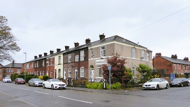
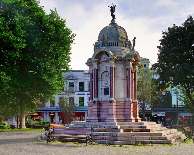
With a population of around 2,500 residents, Bury Ground retains a close-knit community feel. The village is characterized by its quaint, traditional architecture, with many buildings dating back several centuries. The centerpiece of the village is the historic St. Mary's Church, a beautiful medieval structure that stands proudly at the heart of the community.
Bury Ground is renowned for its natural beauty, boasting an abundance of scenic walking trails and nature reserves in the nearby vicinity. Visitors and locals alike can enjoy exploring the stunning landscapes, which are particularly captivating in the spring and summer months.
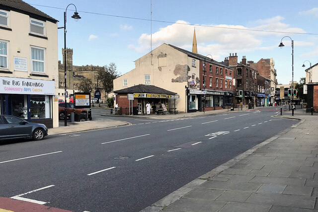
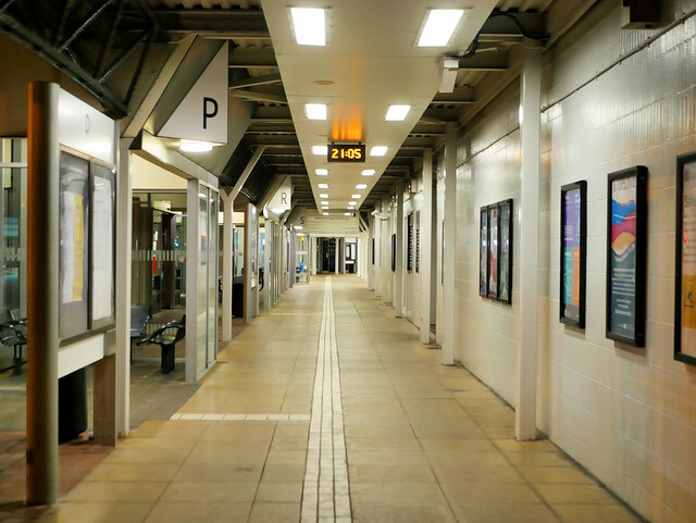
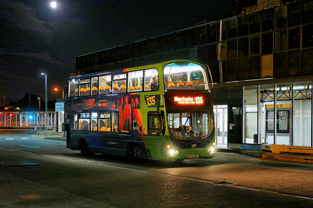
The village also offers a range of amenities to cater to its residents' needs. These include a local primary school, a village hall, and a handful of shops and small businesses. Additionally, Bury Ground benefits from excellent transport links, with regular bus services connecting it to larger towns and cities in the region.
Overall, Bury Ground is a charming village that provides a peaceful and idyllic setting for its residents. Its rich history, scenic surroundings, and strong sense of community make it a delightful place to live or visit in Lancashire.
If you have any feedback on the listing, please let us know in the comments section below.
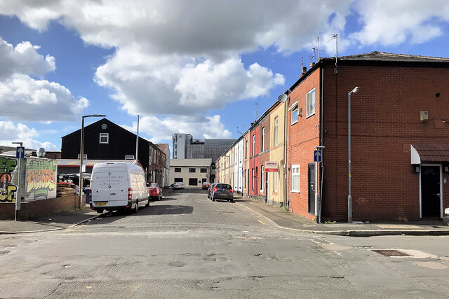
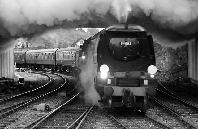
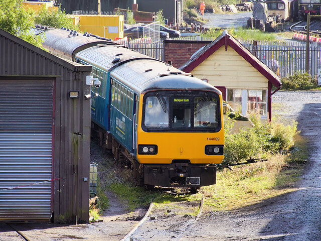
Bury Ground Images
Images are sourced within 2km of 53.596077/-2.305181 or Grid Reference SD7911. Thanks to Geograph Open Source API. All images are credited.


Bury Ground is located at Grid Ref: SD7911 (Lat: 53.596077, Lng: -2.305181)
Unitary Authority: Bury
Police Authority: Greater Manchester
What 3 Words
///pushy.little.fats. Near Bury, Manchester
Nearby Locations
Related Wikis

Bury Transport Museum
Bury Transport Museum is a transport museum in Bury, Greater Manchester, situated in the former Castlecroft Goods Warehouse, a Grade II listed building...

Bury power station
Bury power stations are two generating stations that supplied electricity to the town of Bury, Lancashire and the surrounding area from 1896 to 1970. They...
Chamber Hall Power Station
Chamber Hall Power Station was a coal-fired power station situated in Bury, Greater Manchester. It was opened in 1912 by the Bury Corporation Electricity...

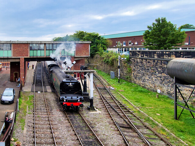
Bury Bolton Street railway station
Bury Bolton Street railway station is a heritage railway station in Bury, Greater Manchester, England. Located on the East Lancashire Railway. == History... ==
Nearby Amenities
Located within 500m of 53.596077,-2.305181Have you been to Bury Ground?
Leave your review of Bury Ground below (or comments, questions and feedback).