Woodhill
Settlement in Lancashire
England
Woodhill
Woodhill is a small village located in the county of Lancashire in northwest England. Situated in the borough of Pendle, Woodhill is nestled in the picturesque Pendle Hill countryside, offering breathtaking views and a peaceful atmosphere.
The village is home to a close-knit community, with a population of around 500 residents. The local economy is mainly driven by agriculture, with farms and fields surrounding the village. The fertile soil and favorable climate make it an ideal location for farming, particularly for crops such as wheat, barley, and potatoes.
Woodhill boasts a rich history, dating back centuries. The village is dotted with charming stone cottages and traditional buildings, some of which have been standing since the 17th century. The local church, St. Mary's, is a prominent landmark and holds regular services for the community.
For nature enthusiasts, Woodhill offers plenty of opportunities to explore the great outdoors. The nearby Pendle Hill is a popular destination for hikers and walkers, providing stunning panoramic views of the surrounding countryside. The village is also close to the Forest of Bowland, a designated Area of Outstanding Natural Beauty, which offers diverse wildlife and serene woodland walks.
Despite its rural setting, Woodhill benefits from good transportation links. The nearby town of Nelson provides access to the M65 motorway, connecting the village to larger cities such as Manchester and Preston. Additionally, the village is served by regular bus services, ensuring convenient connectivity for residents and visitors alike.
In summary, Woodhill is a charming and idyllic village in Lancashire, offering a tranquil countryside setting, a close-knit community, and a rich history.
If you have any feedback on the listing, please let us know in the comments section below.
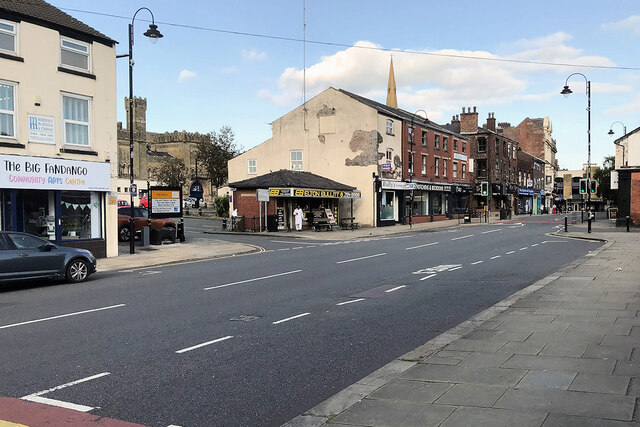
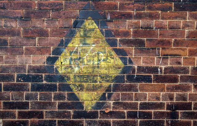
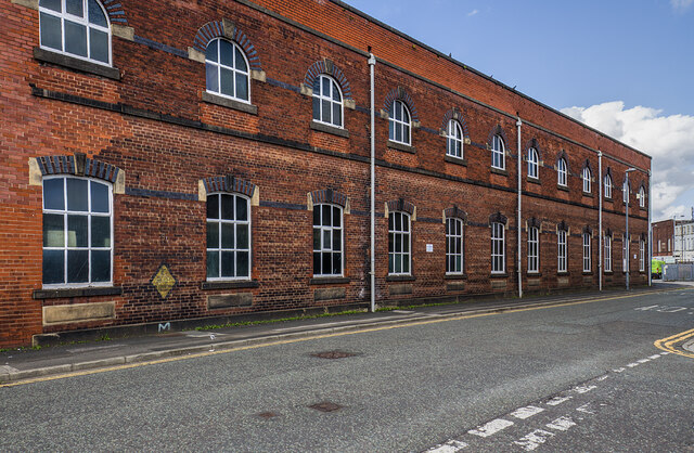
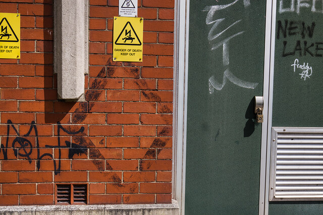
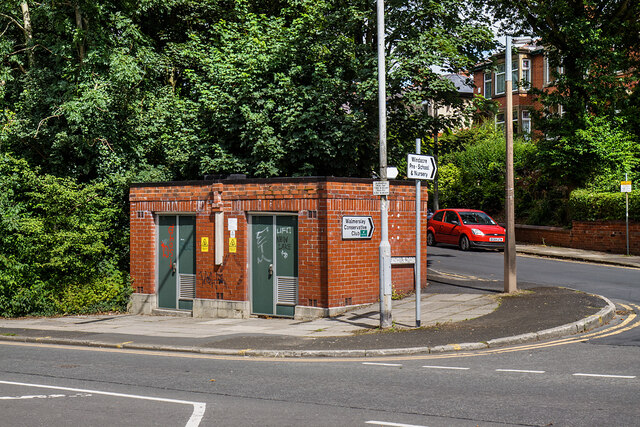
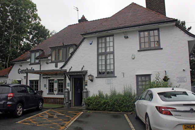
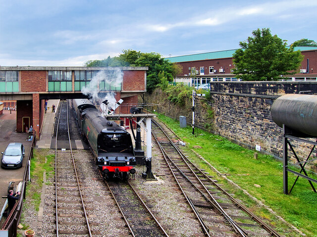
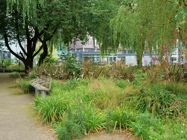
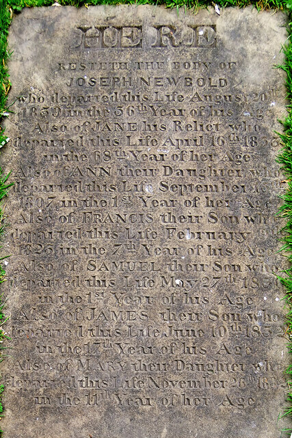
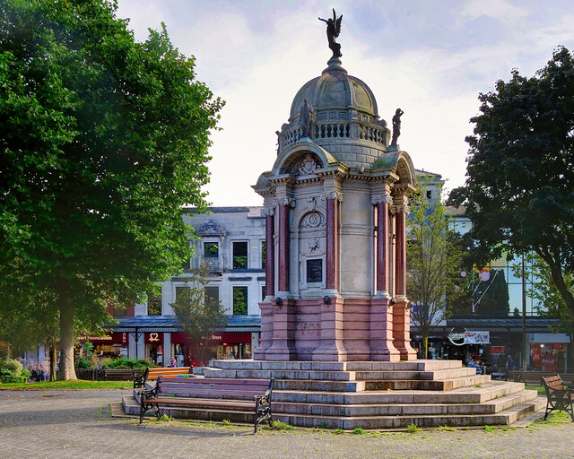
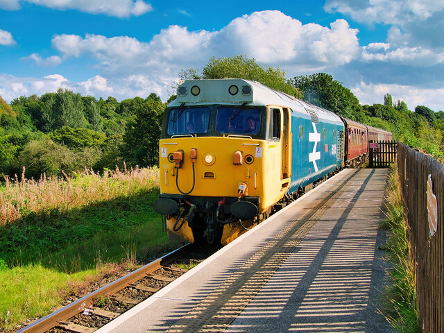
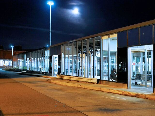
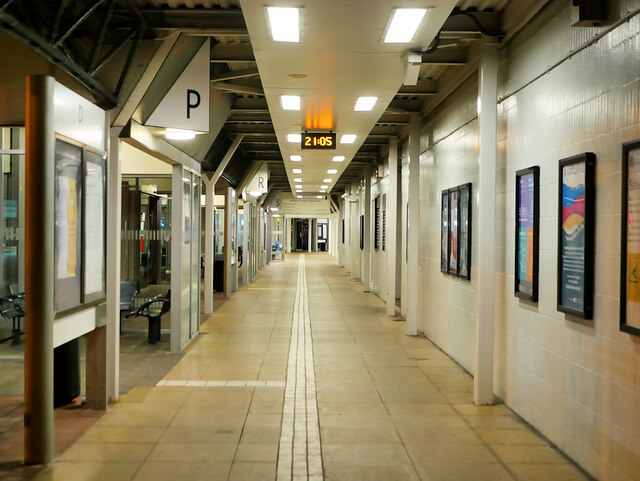
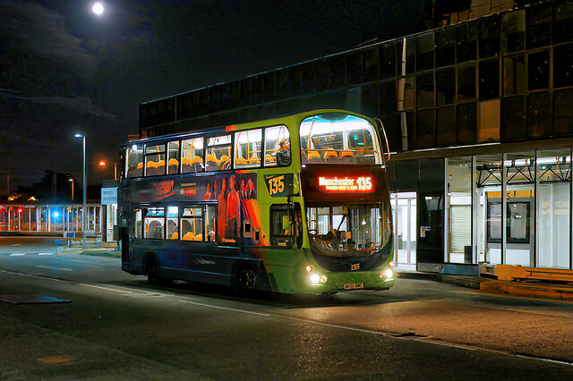
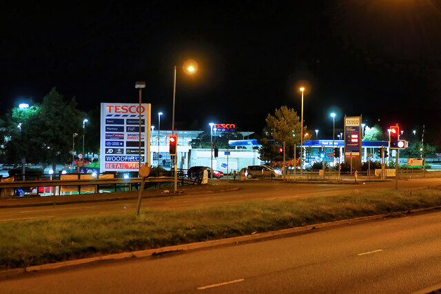
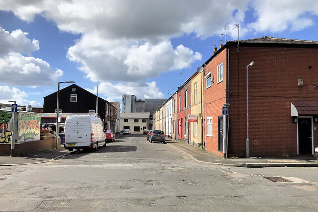
Woodhill Images
Images are sourced within 2km of 53.59956/-2.3088974 or Grid Reference SD7911. Thanks to Geograph Open Source API. All images are credited.

Woodhill is located at Grid Ref: SD7911 (Lat: 53.59956, Lng: -2.3088974)
Unitary Authority: Bury
Police Authority: Greater Manchester
What 3 Words
///robots.gained.loose. Near Bury, Manchester
Nearby Locations
Related Wikis

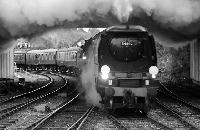
Brandlesholme Road Halt railway station
Brandlesholme Road Halt was a stopping point on the Bury to Holcombe Brook railway line from 1905 until the line closed in 1952. == History == The line...
Woodhill Road Halt railway station
Woodhill Road Halt was a stopping point on the Bury to Holcombe Brook Line from 1905 until 1918 and from 1934 until the line closed in 1952. == History... ==
Ramsbottom Urban District
Ramsbottom Urban District was, from 1894 to 1974, a local government district of the administrative county of Lancashire, England. Its area was coterminate...
Bury power station
Bury power stations are two generating stations that supplied electricity to the town of Bury, Lancashire and the surrounding area from 1896 to 1970. They...
Chamber Hall Power Station
Chamber Hall Power Station was a coal-fired power station situated in Bury, Greater Manchester. It was opened in 1912 by the Bury Corporation Electricity...

Bury Transport Museum
Bury Transport Museum is a transport museum in Bury, Greater Manchester, situated in the former Castlecroft Goods Warehouse, a Grade II listed building...
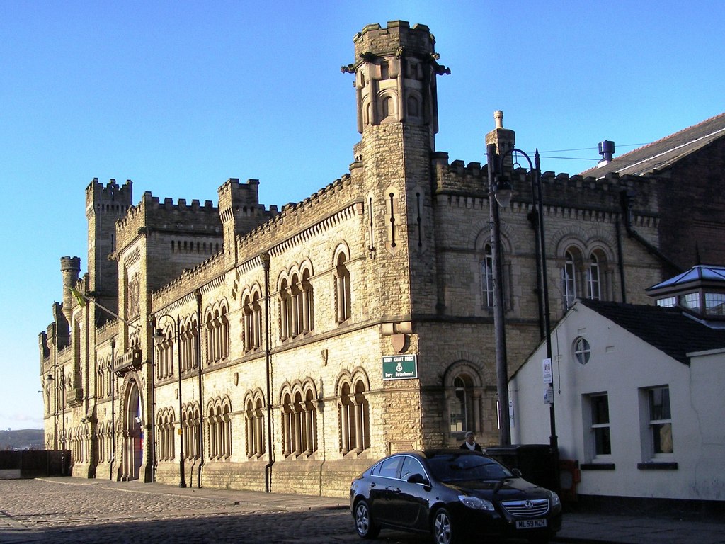
Castle Armoury, Bury
The Castle Armoury is a military installation in Bury, Greater Manchester, England. == History == The armoury was designed as the headquarters of the 8th...

Bury Bolton Street railway station
Bury Bolton Street railway station is a heritage railway station in Bury, Greater Manchester, England. Located on the East Lancashire Railway. == History... ==
Related Videos

Bury Market Walking Tour England UK Visual 4K 2023 ASMR 40Mins No Talking
Bury Market Walking Tour England UK Visual 4K 2023 ASMR 40Mins No Talking.

Walking tour of the World Famous BURY MARKET
Bury – England July 2022 Bury Market is an open-air market in the town of Bury, Greater Manchester England. With a large market ...

BURY - high street town centre - Walking Tour - UK
from the rock shopping centre down the high street onto the Robert Peel statue with the church bells chiming in the background ...

Is This The Best Market in The UK? - I Was Surprised
Bury Market is a traditional market known for its vibrant atmosphere and a wide array of goods. Dating back to 1444, it has long ...
Nearby Amenities
Located within 500m of 53.59956,-2.3088974Have you been to Woodhill?
Leave your review of Woodhill below (or comments, questions and feedback).