Coed y Bryn

Wood, Forest in Denbighshire

Wales

Coed y Bryn

Road sign at Trefonnen The road winds its way out of the village towards Dolwen, past the old chapel and this rustic signpost. In the background are farm out-buildings at Rhwng-y-ddwyffordd (English: Twixt two roads) with a large stock of fertiliser in white crane-bags.
Road sign at Trefonnen Credit: Jonathan Wilkins

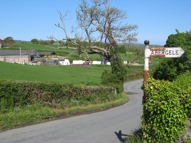
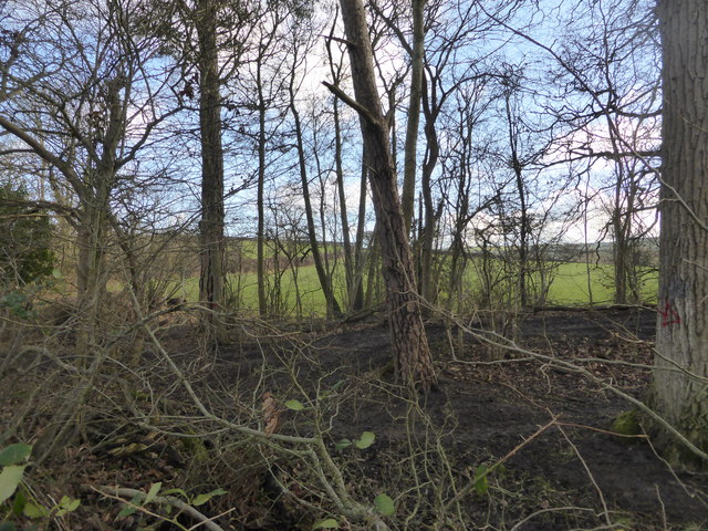
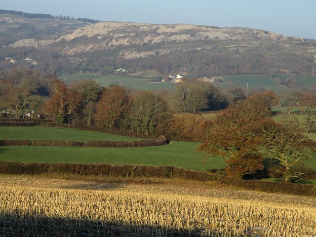
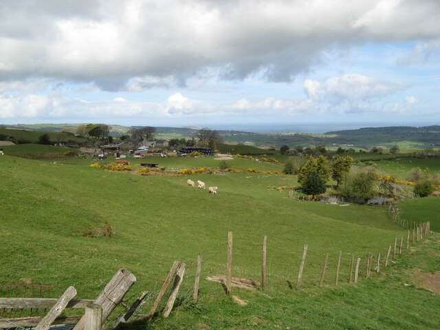
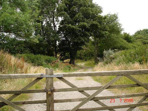
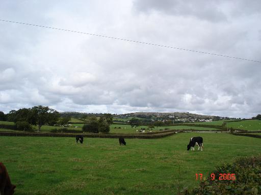
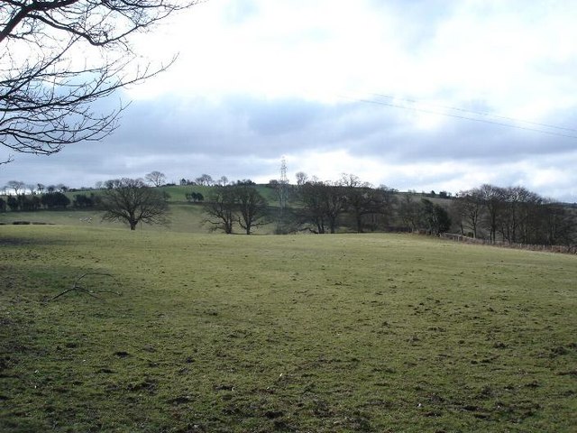
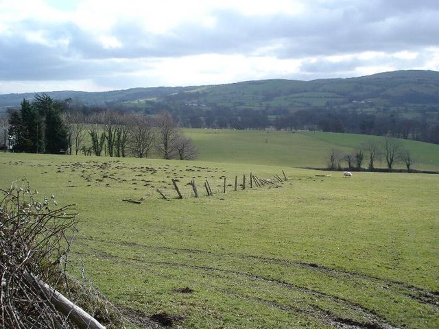
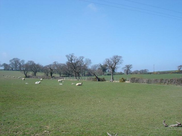
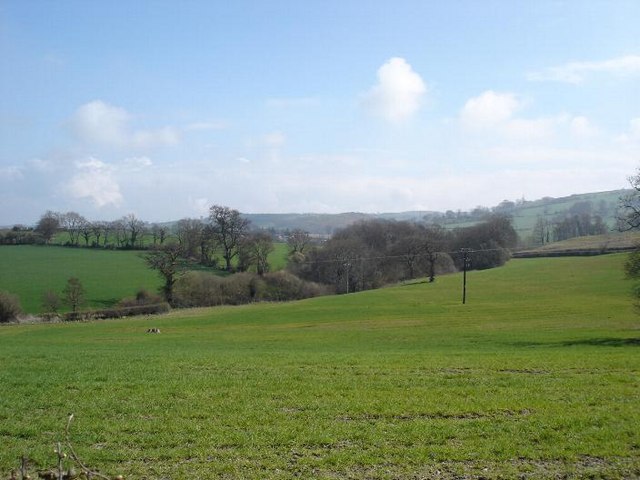
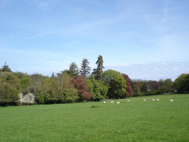
Coed y Bryn is a picturesque woodland located in Denbighshire, Wales. Covering an area of approximately 160 hectares, the forest is a popular destination for nature lovers and outdoor enthusiasts. The woodland is home to a diverse range of flora and fauna, including oak, beech, and pine trees, as well as various species of birds, mammals, and insects.

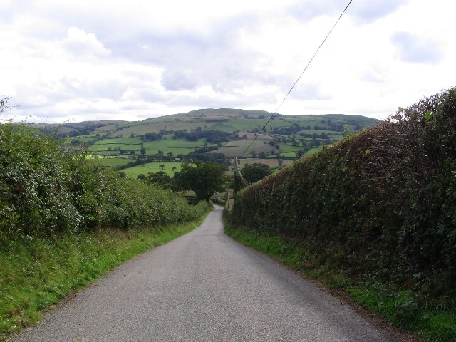
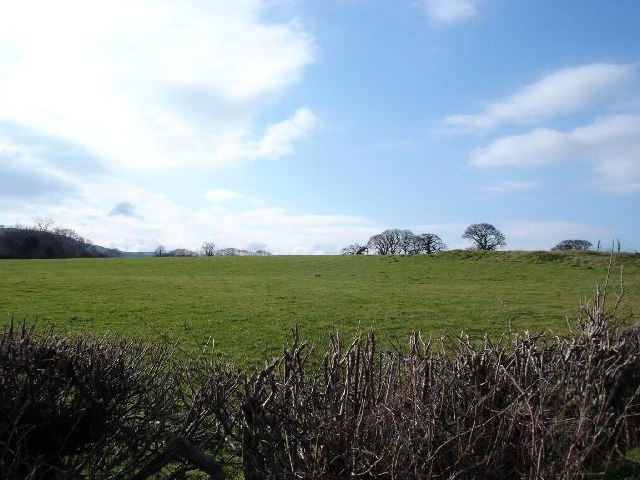
Visitors to Coed y Bryn can enjoy a network of well-maintained walking trails that meander through the forest, offering stunning views of the surrounding countryside. The forest is also a great place for birdwatching, with a number of bird hides located throughout the area.

In addition to its natural beauty, Coed y Bryn also has a rich cultural history. The woodland is home to several ancient monuments, including burial mounds and standing stones, which provide a glimpse into the area's past.

Overall, Coed y Bryn is a peaceful and tranquil retreat, perfect for those looking to escape the hustle and bustle of everyday life and reconnect with nature. Whether you're interested in hiking, birdwatching, or simply enjoying a leisurely stroll, this forest has something to offer for everyone.

If you have any feedback on the listing, please let us know in the comments section below.
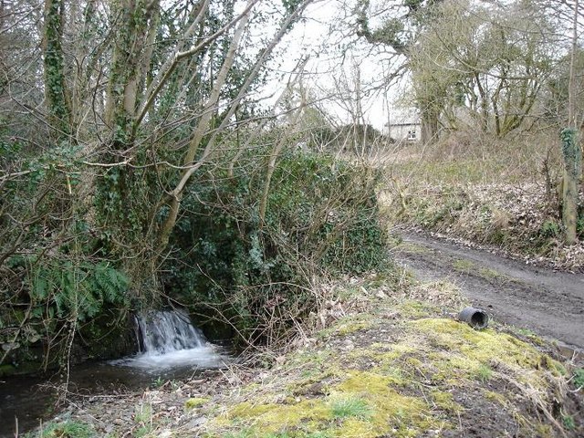
Coed y Bryn Images

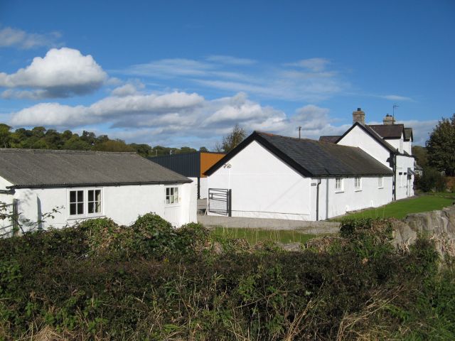
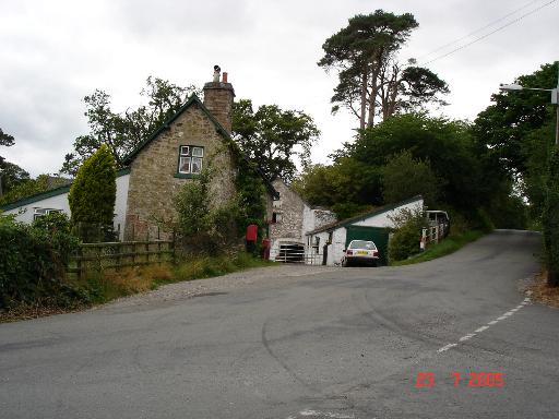
Images are sourced within 2km of 53.251721/-3.6731644 or Grid Reference SH8874. Thanks to Geograph Open Source API. All images are credited.

Road sign at Trefonnen The road winds its way out of the village towards Dolwen, past the old chapel and this rustic signpost. In the background are farm out-buildings at Rhwng-y-ddwyffordd (English: Twixt two roads) with a large stock of fertiliser in white crane-bags.
Road sign at Trefonnen
The road winds its way out of the village towards Dolwen, past the old chapel and this rustic signpost. In the background are farm out-buildings at Rhwng-y-ddwyffordd (English: Twixt two roads) with a large stock of fertiliser in white crane-bags.
Roadside woodland
Roadside woodland
Road junction near Betws-yn-Rhos
The road into Betws-yn-Rhos
Dafarn-y-Pwll The intriguing name of this group of buildings suggests that it was a public house at some point in the past.
Dafarn-y-Pwll
The intriguing name of this group of buildings suggests that it was a public house at some point in the past.
Dyffryn Dulas / Dulas Valley
View to Cil-llidiart A view of fields with young lambs and the farm at Cil-llidiart. From this elevated location, the view of the sea and distant wind turbines is wonderful.
View to Cil-llidiart
A view of fields with young lambs and the farm at Cil-llidiart. From this elevated location, the view of the sea and distant wind turbines is wonderful.
Dolwen junction Houses at the junction of B5383 and B5381 at Dolwen
Dolwen junction
Houses at the junction of B5383 and B5381 at Dolwen
Farm track near Dolwen A gated farm track near the village of Dolwen
Farm track near Dolwen
A gated farm track near the village of Dolwen
View over farmland View over fields of farmland with the village of Llysfaen in the distance
View over farmland
View over fields of farmland with the village of Llysfaen in the distance
B5383 This picture taken from SH 885 749 looking SE.
B5383
This picture taken from SH 885 749 looking SE.
Green fields and blue skies Fields near to Cefn Castell
Green fields and blue skies
Fields near to Cefn Castell
Bryncar Farmland at Bryncar to the west of Betws yn Rhos
Bryncar
Farmland at Bryncar to the west of Betws yn Rhos
Gwyndy Remote cottage and stream at Gwyndy
Gwyndy
Remote cottage and stream at Gwyndy
Dolwen countryside To the west of Dowlen looking over farmland to the hills
Dolwen countryside
To the west of Dowlen looking over farmland to the hills
Dolwen farmland
Dolwen farmland
Fields near Dolwen
Fields near Dolwen
Dolwen fields Sheep grazing fields bordered by woods near Dolwen
Dolwen fields
Sheep grazing fields bordered by woods near Dolwen
Show me another place!

Coed y Bryn is located at Grid Ref: SH8874 (Lat: 53.251721, Lng: -3.6731644)

Unitary Authority: Conwy

Police Authority: North Wales

What 3 Words

///awake.song.overtones. Near Llysfaen, Conwy

Related Wikis

Coed Coch

Coed Coch, in Dolwen, Conwy, Wales, is a large 19th-century mansion in the neoclassical style, designed by the architect Henry Hakewill. The building...

Betws yn Rhos

Betws yn Rhos (English: Chapel house in Rhos) is a village and community in Conwy County Borough, Wales. Betws yn Rhos is located about 5 miles (8.0 km...

Moelfre Uchaf

Moelfre Uchaf is a hill in the borough of Conwy, North Wales, 5 miles (8.0 km) south-east of Colwyn Bay and 1.5 mi (2.4 km) south-west of Betws-yn-Rhos...

Llysfaen

Llysfaen is a village and community in Conwy County Borough overlooking the north coast of Wales, and situated on the hill Mynydd Marian. For local government...

Nearby Amenities

Located within 500m of 53.251721,-3.6731644
Coed Coch
Place: isolated_dwelling
Lat/Long: 53.2512388/-3.6784178
Power: pole
Lat/Long: 53.2521943/-3.679008
Power: pole
Lat/Long: 53.2525794/-3.6783535
Power: pole
Lat/Long: 53.2528458/-3.6780987
Power: pole
Lat/Long: 53.2531619/-3.6769749
Power: pole
Lat/Long: 53.2518539/-3.6789359
Post Box
Post Box Type: lamp
Lat/Long: 53.2557486/-3.6705787
The data included in this document is from www.openstreetmap.org. The data is made available under ODbL.

Have you been to Coed y Bryn?

Leave your review of Coed y Bryn below (or comments, questions and feedback).