Coed Pentre-wern
Wood, Forest in Denbighshire
Wales
Coed Pentre-wern
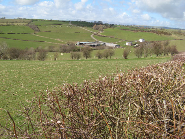
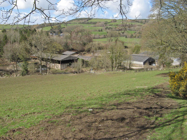
Coed Pentre-wern is a picturesque woodland located in Denbighshire, Wales. Situated amidst rolling hills and breathtaking landscapes, this enchanting forest covers an area of approximately 100 acres. With its diverse flora and fauna, Coed Pentre-wern offers a tranquil escape for nature enthusiasts, hikers, and wildlife lovers alike.
The forest is primarily composed of native broadleaf trees, including oak, ash, and beech, creating a rich and vibrant canopy that provides shade and shelter. The forest floor is adorned with a carpet of wildflowers and ferns, adding to the area's natural beauty.
Coed Pentre-wern is also home to a variety of wildlife species. Visitors may catch a glimpse of red squirrels darting between tree branches or hear the distinctive calls of native birds such as woodpeckers and thrushes. The forest's diverse ecosystem also supports a range of insects and small mammals, creating a thriving habitat for numerous species.
The forest offers several well-maintained walking trails, allowing visitors to explore its hidden wonders. These trails wind through the woodland, offering glimpses of tranquil streams and ancient ruins. Nature enthusiasts will find ample opportunities for birdwatching, wildlife photography, and simply immersing themselves in the serene surroundings.
Coed Pentre-wern is a popular destination for outdoor activities such as picnicking, camping, and even orienteering. The peaceful ambiance and stunning natural beauty make it an ideal spot for families, couples, and individuals seeking respite from the hustle and bustle of daily life.
In conclusion, Coed Pentre-wern is a captivating woodland in Denbighshire, Wales, offering visitors a chance to connect with nature and enjoy the tranquility of a thriving forest ecosystem.
If you have any feedback on the listing, please let us know in the comments section below.
Coed Pentre-wern Images
Images are sourced within 2km of 53.188862/-3.6707006 or Grid Reference SH8867. Thanks to Geograph Open Source API. All images are credited.


Coed Pentre-wern is located at Grid Ref: SH8867 (Lat: 53.188862, Lng: -3.6707006)
Unitary Authority: Conwy
Police Authority: North Wales
What 3 Words
///baker.revisits.claps. Near Llanrwst, Conwy
Nearby Locations
Related Wikis
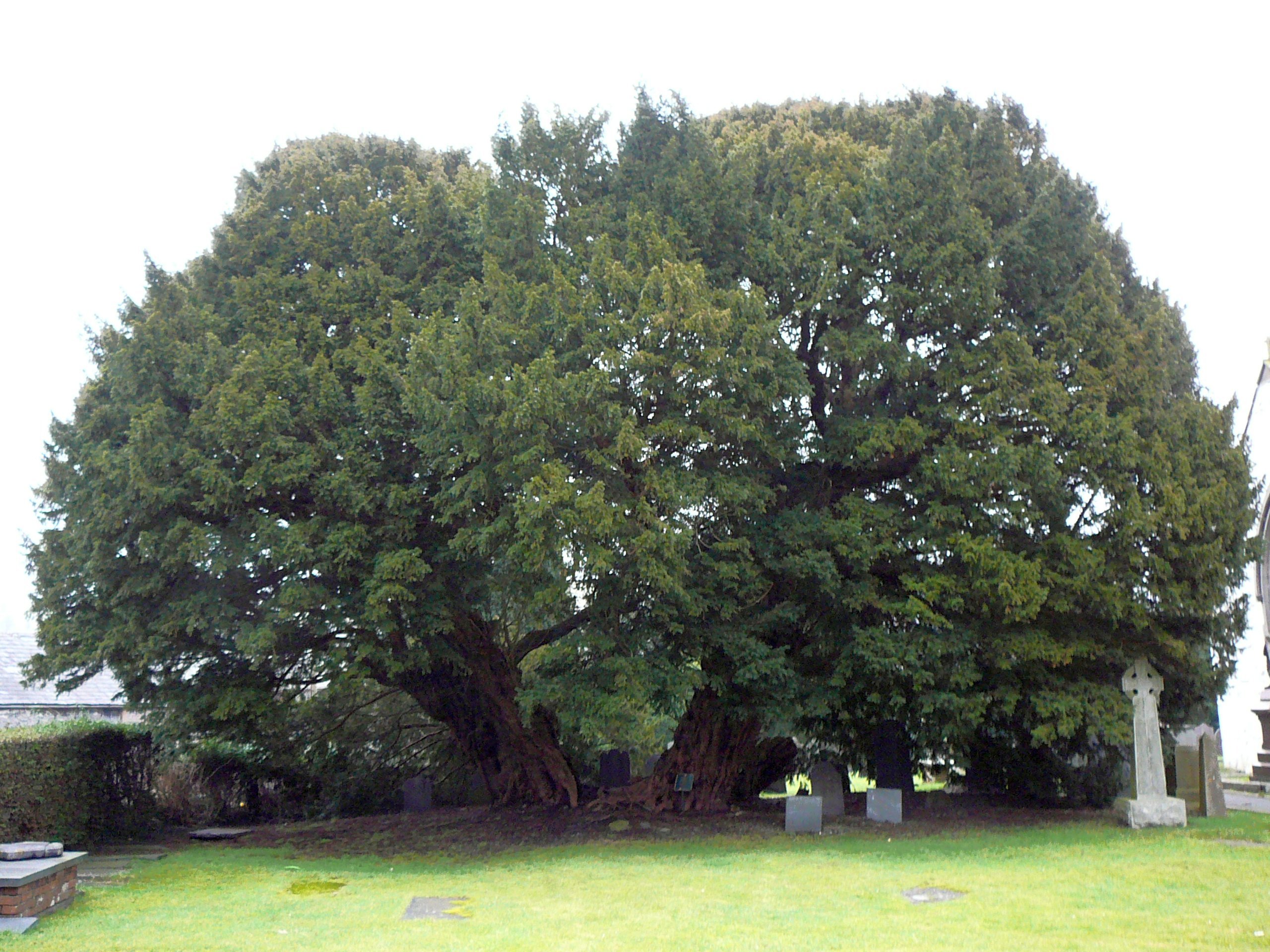
Llangernyw Yew
The Llangernyw Yew ([ɬanˈɡɛrnɨu] ) is an ancient yew (Taxus baccata) in the village of Llangernyw, Conwy, Wales. The tree is fragmented and its core part...

Llangernyw
Llangernyw ([ɬanˈgɛrnɨ̞u] ) is a rural, mostly Welsh-speaking, village and community in Conwy County Borough, North Wales. == Overview == At the 2011 census...

Conwy (UK Parliament constituency)
Conwy (Conway prior to 1983) was an electoral constituency represented in the House of Commons of the Parliament of the United Kingdom. It returned one...
Conwy (Assembly constituency)
Conwy was a constituency of the National Assembly for Wales from 1999 to 2007. It elected one Assembly Member by the first past the post method of election...
Nearby Amenities
Located within 500m of 53.188862,-3.6707006Have you been to Coed Pentre-wern?
Leave your review of Coed Pentre-wern below (or comments, questions and feedback).