Betws Yn Rhos
Community in Denbighshire
Wales
Betws Yn Rhos
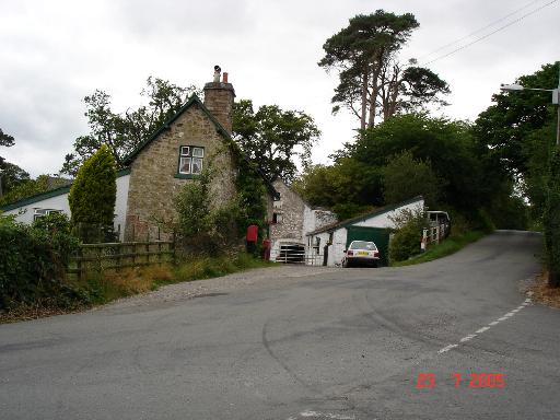
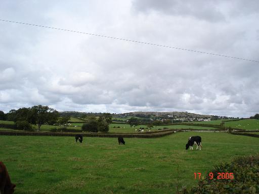
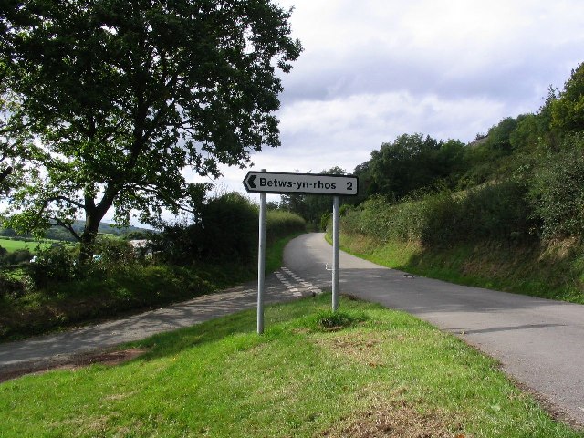
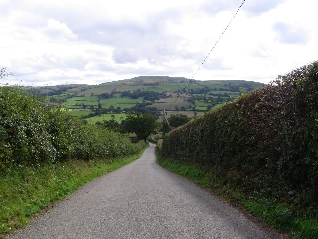
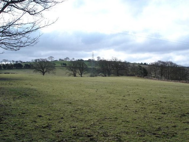
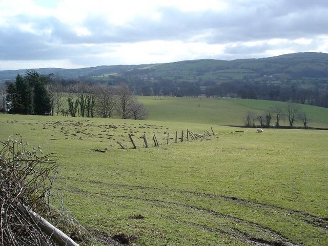
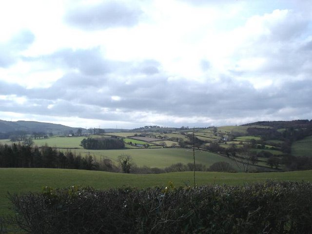
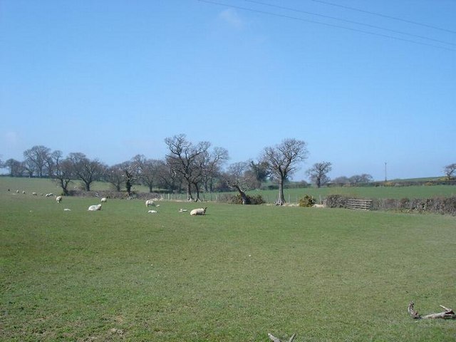
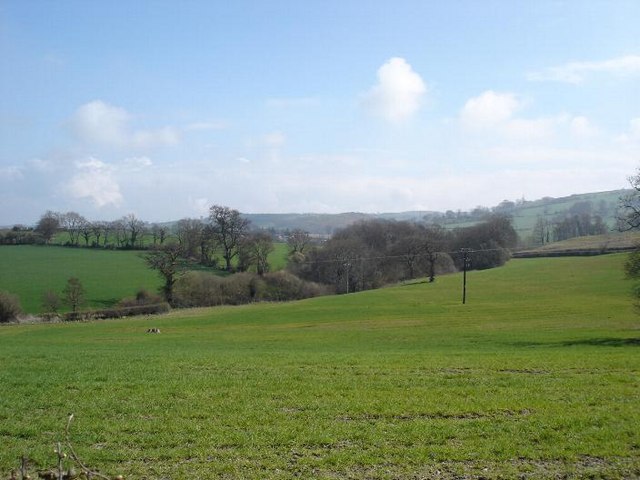
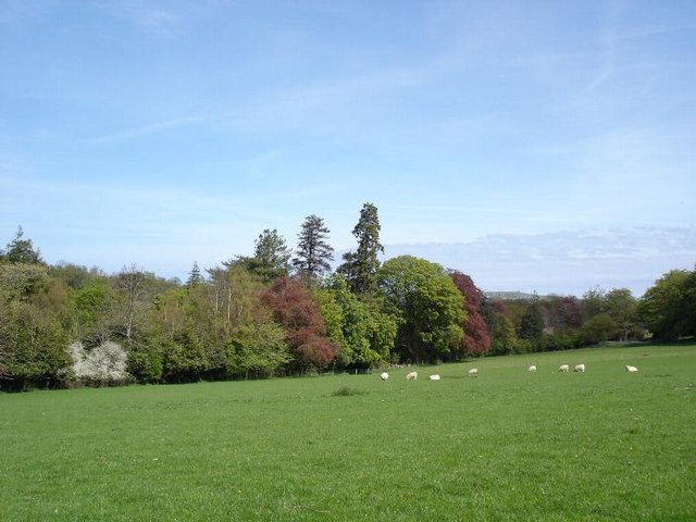
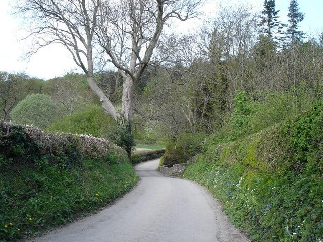
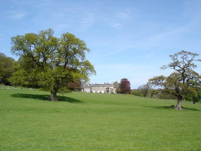
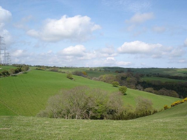
Betws Yn Rhos is a small community located in Denbighshire, Wales. Situated in the picturesque countryside, it is surrounded by rolling hills and beautiful landscapes. The community is nestled between the towns of Abergele and Llanddulas.
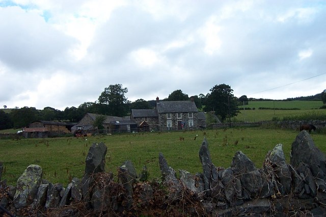
Betws Yn Rhos has a rich history dating back to the medieval period. It is believed that the village was established around the 13th century and was originally a farming community. Today, it retains much of its traditional charm with its quaint cottages and historic buildings.
The community is home to a close-knit population of approximately 500 residents. Despite its small size, Betws Yn Rhos offers a range of amenities and services for its residents. These include a village hall, a primary school, a church, and a local pub. The village hall serves as a hub for community events and activities, hosting everything from social gatherings to local clubs and societies.
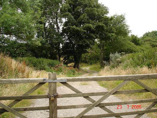
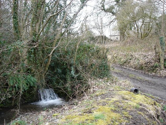
Nature enthusiasts will find plenty to explore in the surrounding area. The community is situated near the Denbighshire countryside, which offers opportunities for hiking, cycling, and bird-watching. The nearby Clwydian Range Area of Outstanding Natural Beauty is also a popular destination for outdoor enthusiasts.
Overall, Betws Yn Rhos is a charming and peaceful community that offers a rural escape with easy access to nearby towns and natural attractions. Its rich history, beautiful landscapes, and friendly atmosphere make it an appealing place to live or visit.
If you have any feedback on the listing, please let us know in the comments section below.
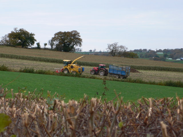
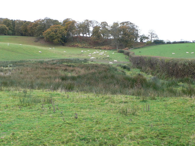
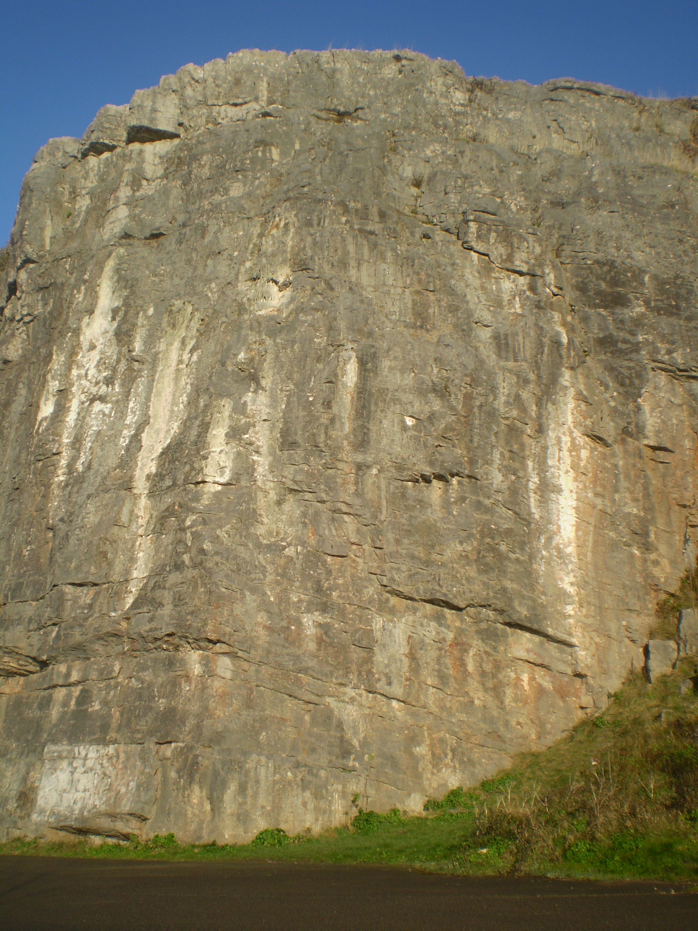
Betws Yn Rhos Images
Images are sourced within 2km of 53.251658/-3.679529 or Grid Reference SH8874. Thanks to Geograph Open Source API. All images are credited.
Betws Yn Rhos is located at Grid Ref: SH8874 (Lat: 53.251658, Lng: -3.679529)
Unitary Authority: Conwy
Police Authority: North Wales
Also known as: Betws yn Rhos
What 3 Words
///strike.supplied.pelt. Near Llysfaen, Conwy
Nearby Locations
Related Wikis

Coed Coch
Coed Coch, in Dolwen, Conwy, Wales, is a large 19th-century mansion in the neoclassical style, designed by the architect Henry Hakewill. The building...

Betws yn Rhos
Betws yn Rhos (English: Chapel house in Rhos) is a village and community in Conwy County Borough, Wales. Betws yn Rhos is located about 5 miles (8.0 km...

Moelfre Uchaf
Moelfre Uchaf is a hill in the borough of Conwy, North Wales, 5 miles (8.0 km) south-east of Colwyn Bay and 1.5 mi (2.4 km) south-west of Betws-yn-Rhos...

Llysfaen
Llysfaen is a village and community in Conwy County Borough overlooking the north coast of Wales, and situated on the hill Mynydd Marian. For local government...

St John's Church, Trofarth
St John's Church, Trofarth, is a redundant church standing in an isolated position in Conwy County Borough, Wales (grid reference SH857718). It was designated...
Mynydd Marian
Mynydd Marian is a Site of Special Scientific Interest in Conwy, Wales. It is also a hill reaching a height of 208 metres (682 feet), with a trig point...

Llanelian Road
Llanelian Road (Welsh: Ffordd Llanelian) is a multi-use stadium in Old Colwyn, North Wales and also known as the 4 Crosses Construction Arena for sponsorship...

Craig y Forwyn (Conwy)
Craig y Forwyn (meaning "Maiden's Crag" in English) is a crag in Conwy County Borough, Wales, located less than a mile south of Llanddulas, near the village...
Nearby Amenities
Located within 500m of 53.251658,-3.679529Have you been to Betws Yn Rhos?
Leave your review of Betws Yn Rhos below (or comments, questions and feedback).