Coed yr Highgate

Wood, Forest in Denbighshire

Wales

Coed yr Highgate

Road sign at Trefonnen The road winds its way out of the village towards Dolwen, past the old chapel and this rustic signpost. In the background are farm out-buildings at Rhwng-y-ddwyffordd (English: Twixt two roads) with a large stock of fertiliser in white crane-bags.
Road sign at Trefonnen Credit: Jonathan Wilkins

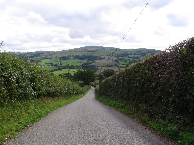
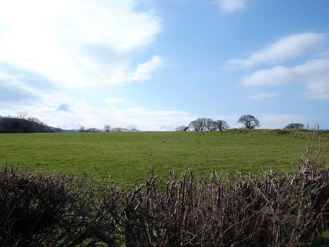
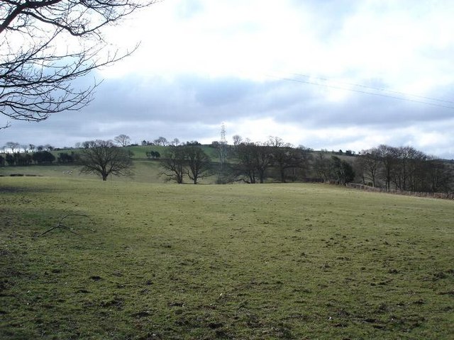
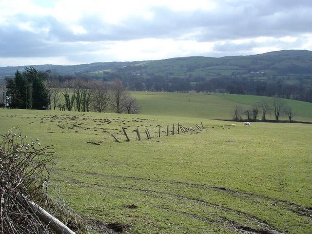
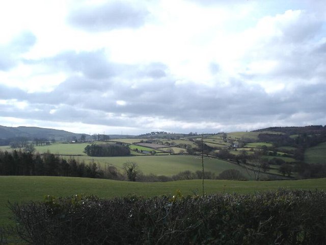
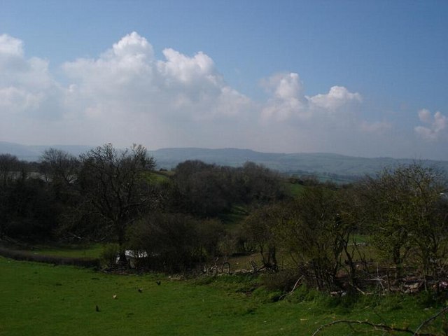
Coed yr Highgate is a wooded area located in Denbighshire, Wales. It is a mixed woodland consisting of a variety of native tree species, including oak, beech, and birch. The forest is situated in a hilly area, providing visitors with scenic views of the surrounding countryside.

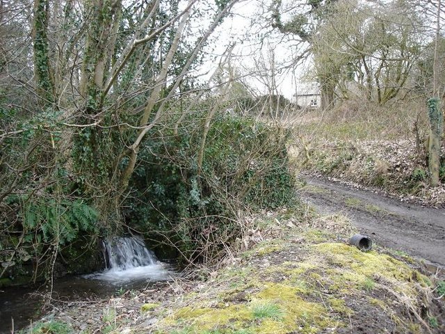
Coed yr Highgate is a popular destination for hikers, nature enthusiasts, and birdwatchers. The forest is home to a diverse range of wildlife, including deer, squirrels, and various species of birds. Visitors can also find a network of walking trails that wind through the woodland, allowing them to explore the natural beauty of the area.

In addition to its recreational opportunities, Coed yr Highgate plays an important role in conservation efforts. The forest is managed sustainably, with efforts made to protect the local ecosystem and maintain biodiversity. This includes selective logging practices and the preservation of habitats for rare and endangered species.

Overall, Coed yr Highgate is a peaceful and picturesque woodland that offers visitors the chance to immerse themselves in nature and enjoy the tranquility of the Welsh countryside.

If you have any feedback on the listing, please let us know in the comments section below.

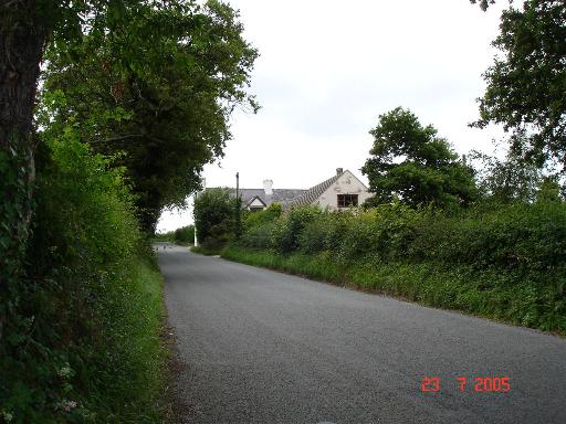
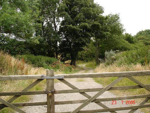
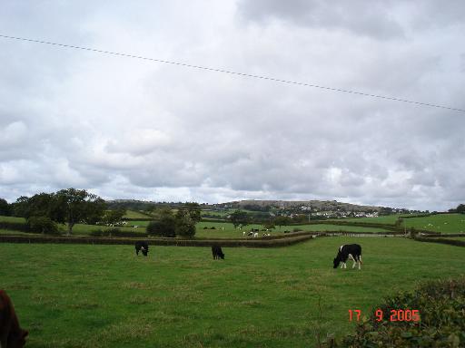
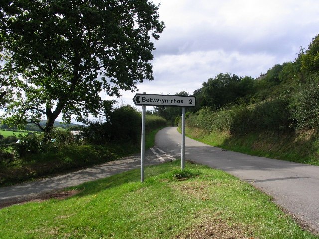
Coed yr Highgate Images

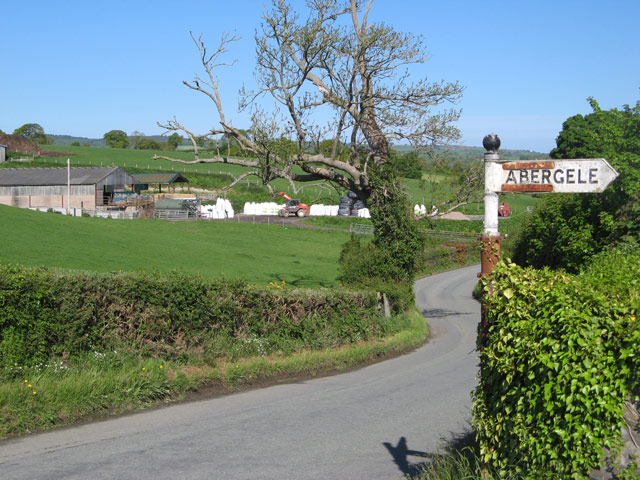
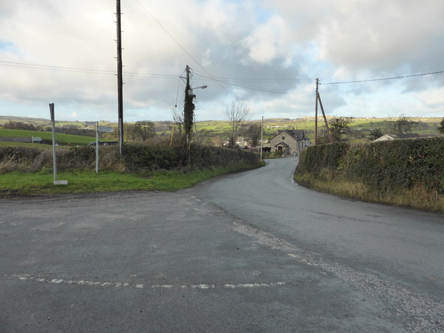
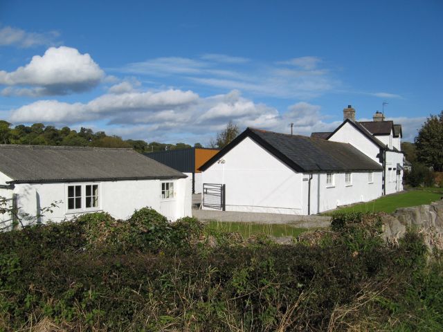
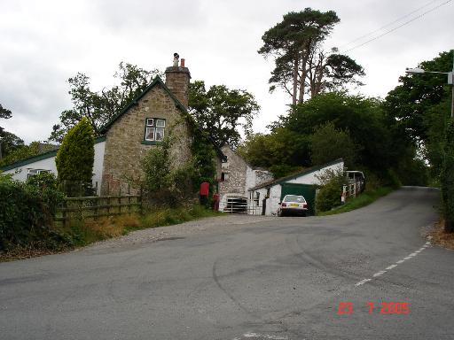
Images are sourced within 2km of 53.25658/-3.6760376 or Grid Reference SH8874. Thanks to Geograph Open Source API. All images are credited.

Road sign at Trefonnen The road winds its way out of the village towards Dolwen, past the old chapel and this rustic signpost. In the background are farm out-buildings at Rhwng-y-ddwyffordd (English: Twixt two roads) with a large stock of fertiliser in white crane-bags.
Road sign at Trefonnen
The road winds its way out of the village towards Dolwen, past the old chapel and this rustic signpost. In the background are farm out-buildings at Rhwng-y-ddwyffordd (English: Twixt two roads) with a large stock of fertiliser in white crane-bags.
Road junction near Betws-yn-Rhos
Dafarn-y-Pwll The intriguing name of this group of buildings suggests that it was a public house at some point in the past.
Dafarn-y-Pwll
The intriguing name of this group of buildings suggests that it was a public house at some point in the past.
Dolwen junction Houses at the junction of B5383 and B5381 at Dolwen
Dolwen junction
Houses at the junction of B5383 and B5381 at Dolwen
The B5383 The B5383 heading towards Old Colwyn.
The B5383
The B5383 heading towards Old Colwyn.
Farm track near Dolwen A gated farm track near the village of Dolwen
Farm track near Dolwen
A gated farm track near the village of Dolwen
View over farmland View over fields of farmland with the village of Llysfaen in the distance
View over farmland
View over fields of farmland with the village of Llysfaen in the distance
Road Junction and Squirrels This picture was taken looking west along the B5381 from sh866750. If you look closely there are three squirrels also featured in this image.
Road Junction and Squirrels
This picture was taken looking west along the B5381 from sh866750. If you look closely there are three squirrels also featured in this image.
B5383 This picture taken from SH 885 749 looking SE.
B5383
This picture taken from SH 885 749 looking SE.
Green fields and blue skies Fields near to Cefn Castell
Green fields and blue skies
Fields near to Cefn Castell
Bryncar Farmland at Bryncar to the west of Betws yn Rhos
Bryncar
Farmland at Bryncar to the west of Betws yn Rhos
Gwyndy Remote cottage and stream at Gwyndy
Gwyndy
Remote cottage and stream at Gwyndy
Dolwen countryside To the west of Dowlen looking over farmland to the hills
Dolwen countryside
To the west of Dowlen looking over farmland to the hills
Farmland near Dolwen Looking South from the B5381
Farmland near Dolwen
Looking South from the B5381
Llysfaen cottages A row of cottages in the village which look out over the valley
Llysfaen cottages
A row of cottages in the village which look out over the valley
Llysfaen cottages view View from the llysfaen cottages over farmland
Llysfaen cottages view
View from the llysfaen cottages over farmland
Llysfaen pink ! Parked in the Castle Inn carpark at Llysfaen
Llysfaen pink !
Parked in the Castle Inn carpark at Llysfaen
Dolwen farmland
Dolwen farmland
Show me another place!

Coed yr Highgate is located at Grid Ref: SH8874 (Lat: 53.25658, Lng: -3.6760376)

Unitary Authority: Conwy

Police Authority: North Wales

What 3 Words

///gripes.sued.conducted. Near Llysfaen, Conwy

Related Wikis

Coed Coch

Coed Coch, in Dolwen, Conwy, Wales, is a large 19th-century mansion in the neoclassical style, designed by the architect Henry Hakewill. The building...

Llysfaen

Llysfaen is a village and community in Conwy County Borough overlooking the north coast of Wales, and situated on the hill Mynydd Marian. For local government...

Betws yn Rhos

Betws yn Rhos (English: Chapel house in Rhos) is a village and community in Conwy County Borough, Wales. Betws yn Rhos is located about 5 miles (8.0 km...

Mynydd Marian

Mynydd Marian is a Site of Special Scientific Interest in Conwy, Wales. It is also a hill reaching a height of 208 metres (682 feet), with a trig point...

Nearby Amenities

Located within 500m of 53.25658,-3.6760376
Tŵynan Isaf
Place: farm
Lat/Long: 53.2592876/-3.6739976
Power: pole
Lat/Long: 53.2579649/-3.6812043
Power: pole
Lat/Long: 53.2573583/-3.6814325
Power: pole
Lat/Long: 53.2581671/-3.6805477
Power: pole
Lat/Long: 53.2585736/-3.6803495
Power: pole
Lat/Long: 53.2577877/-3.6696185
Power: pole
Lat/Long: 53.2579708/-3.6706237
Power: pole
Lat/Long: 53.2587433/-3.6717374
Power: pole
Lat/Long: 53.2591274/-3.6727767
Power: pole
Lat/Long: 53.2582696/-3.6720363
Power: pole
Lat/Long: 53.2578814/-3.6737379
Power: pole
Lat/Long: 53.2574667/-3.6746099
Power: pole
Lat/Long: 53.257017/-3.6754972
Power: pole
Lat/Long: 53.2589652/-3.6715381
Power: pole
Lat/Long: 53.2587201/-3.6708202
Dôlwen
Place: hamlet
Lat/Long: 53.2561331/-3.6714087
Power: pole
Lat/Long: 53.2594402/-3.6736709
Power: pole
Lat/Long: 53.2525794/-3.6783535
Power: pole
Lat/Long: 53.2528458/-3.6780987
Power: pole
Lat/Long: 53.2531619/-3.6769749
Public Bookcase
Book Exchange
Defibrillator
Booth: K6
Defibrillator Location: inside old red phone box, Dolwen
Disused Amenity: telephone
Emergency: defibrillator
Man Made: telephone_box
Public Bookcase Type: phone_box
Ref: 443
Lat/Long: 53.2569496/-3.6700205
Post Box
Post Box Type: lamp
Lat/Long: 53.2557486/-3.6705787
The data included in this document is from www.openstreetmap.org. The data is made available under ODbL.

Have you been to Coed yr Highgate?

Leave your review of Coed yr Highgate below (or comments, questions and feedback).