Coed Maes-mawr
Wood, Forest in Montgomeryshire
Wales
Coed Maes-mawr
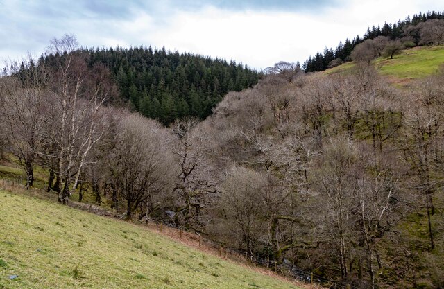
Coed Maes-mawr, located in Montgomeryshire, is a picturesque wood or forest that covers a significant area of land. It is a popular destination for nature enthusiasts, hikers, and birdwatchers due to its diverse flora and fauna. The woodland is characterized by its lush greenery, towering trees, and tranquil ambiance.
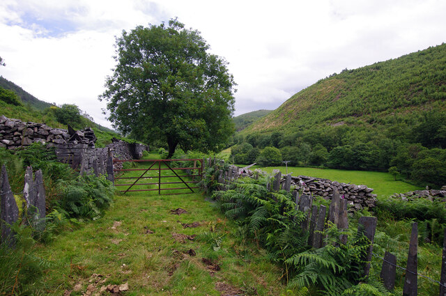
Covering approximately [insert size in square kilometers], Coed Maes-mawr is home to a variety of tree species including oak, beech, and birch. These trees provide a dense canopy that filters sunlight, creating a cool and shaded environment underneath. The forest floor is rich in vegetation, with wildflowers, ferns, and mosses adding to its natural beauty.
The wood is also inhabited by numerous animal species, making it an ideal spot for wildlife enthusiasts. Visitors may come across deer, foxes, and squirrels roaming freely, while birdwatchers can spot a diverse range of avian species, including woodpeckers, owls, and songbirds.
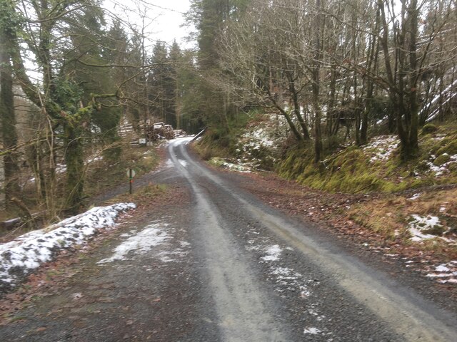
Coed Maes-mawr offers several trails and pathways that allow visitors to explore the woodland at their own pace. These paths are well-maintained and signposted, ensuring a safe and enjoyable experience for all. Additionally, there are picnic areas and benches strategically placed throughout the forest, providing visitors with opportunities to rest and take in the natural surroundings.
Overall, Coed Maes-mawr is a stunning wood in Montgomeryshire that offers a serene and immersive experience in nature. Its diverse ecosystems, beautiful scenery, and abundant wildlife make it a must-visit destination for anyone seeking tranquility and a connection with the natural world.
If you have any feedback on the listing, please let us know in the comments section below.
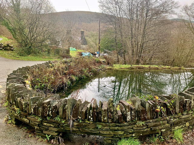
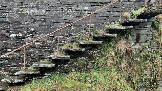
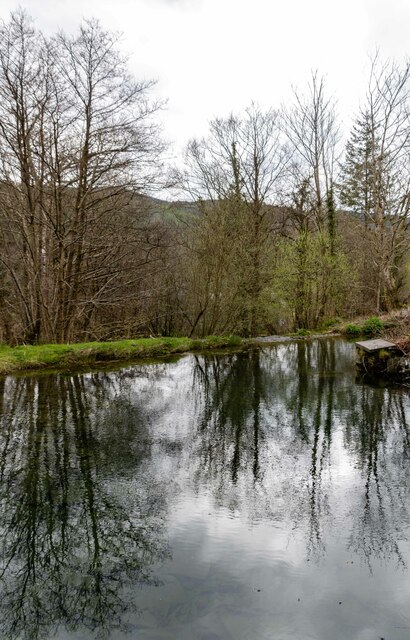
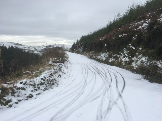
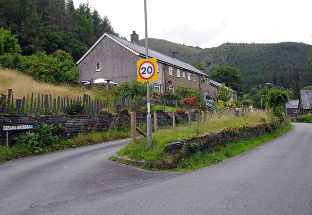
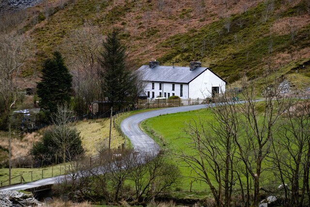
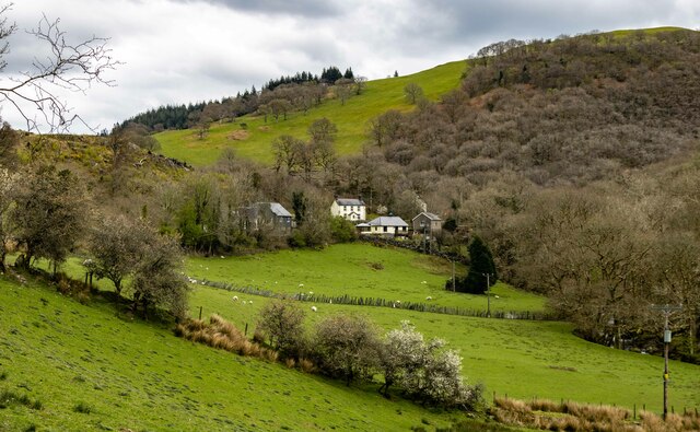
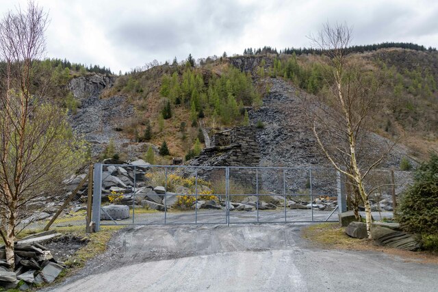
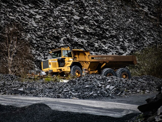
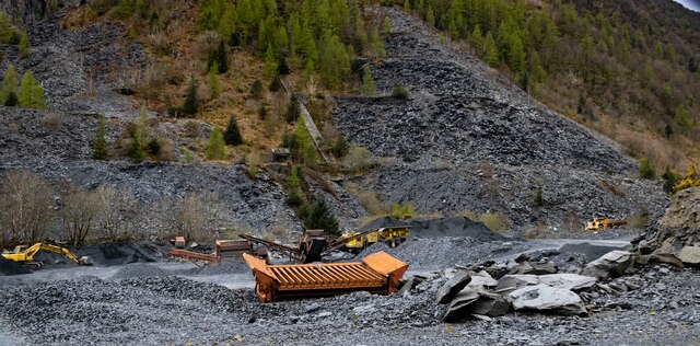
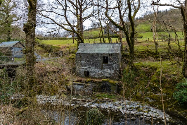
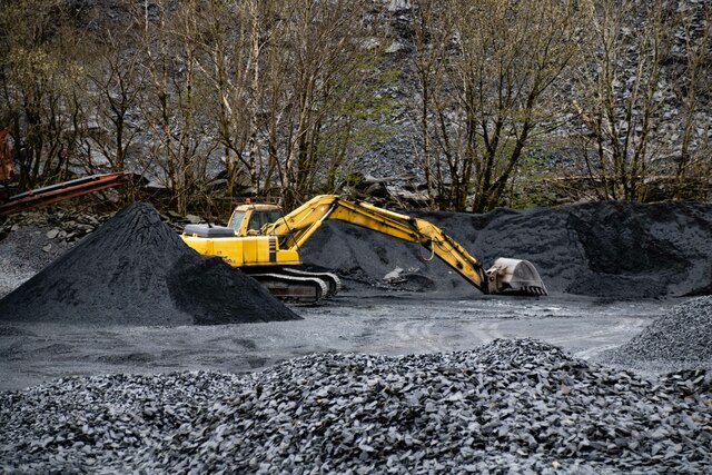
Coed Maes-mawr Images
Images are sourced within 2km of 52.668121/-3.8140776 or Grid Reference SH7709. Thanks to Geograph Open Source API. All images are credited.
Coed Maes-mawr is located at Grid Ref: SH7709 (Lat: 52.668121, Lng: -3.8140776)
Unitary Authority: Powys
Police Authority: Dyfed Powys
What 3 Words
///messaging.crumples.vanished. Near Corris, Gwynedd
Nearby Locations
Related Wikis
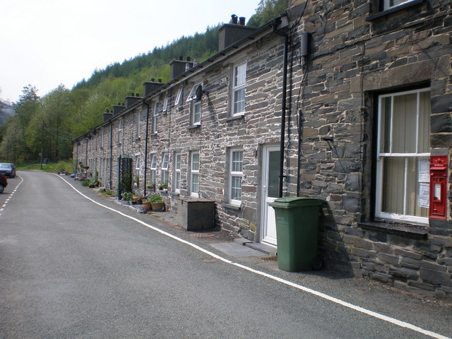
Aberllefenni
Aberllefenni is a village in the south of Gwynedd, Wales. It lies in the historic county of Merionethshire/Sir Feirionnydd, in the valley of the Afon Dulas...

Cwm Hengae
Cwm Hengae is a valley that runs roughly north-west from the village of Aberllefenni in Wales. The Afon Llefenni river runs along the valley and several...

Narrow Vein Mudstone Formation
The Narrow Vein Mudstone Formation (commonly known as the Narrow Vein) is an Ordovician lithostratigraphic group (a sequence of rock strata) in Mid Wales...

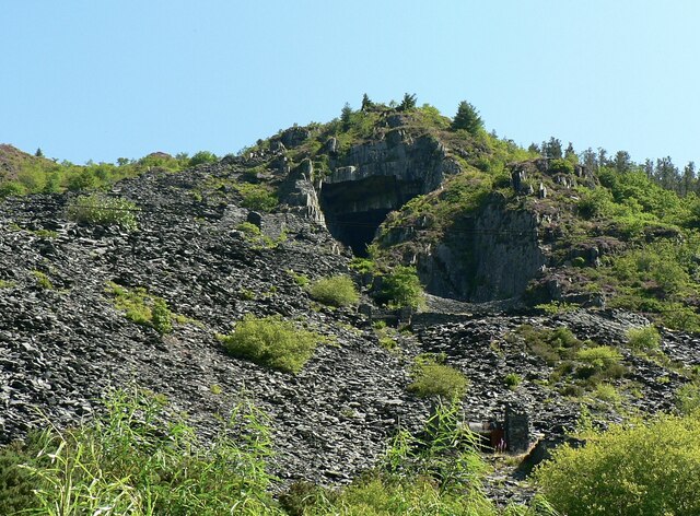
Aberllefenni quarries
Aberllefenni quarry is the collective name of three slate quarries, Foel Grochan, Hen Gloddfa (also known as Hen Chwarel) and Ceunant Ddu, located in Cwm...
Nearby Amenities
Located within 500m of 52.668121,-3.8140776Have you been to Coed Maes-mawr?
Leave your review of Coed Maes-mawr below (or comments, questions and feedback).