Allt Pwll-priddog

Wood, Forest in Carmarthenshire

Wales

Allt Pwll-priddog

Rhandirmwyn Bridge Rhandirmwyn Bridge, which was built in 1913, crossing Afon Twyi/Towey with The Bridge Inn to the left in the background.
Rhandirmwyn Bridge Credit: Philip Halling

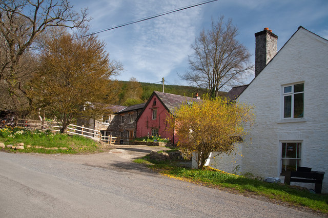
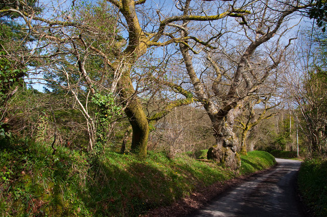
Allt Pwll-priddog is a picturesque woodland located in Carmarthenshire, Wales. Nestled in the heart of the countryside, this enchanting forest covers an area of approximately 100 acres. The woodland is characterized by a diverse range of flora and fauna, making it a haven for nature enthusiasts and outdoor lovers alike.

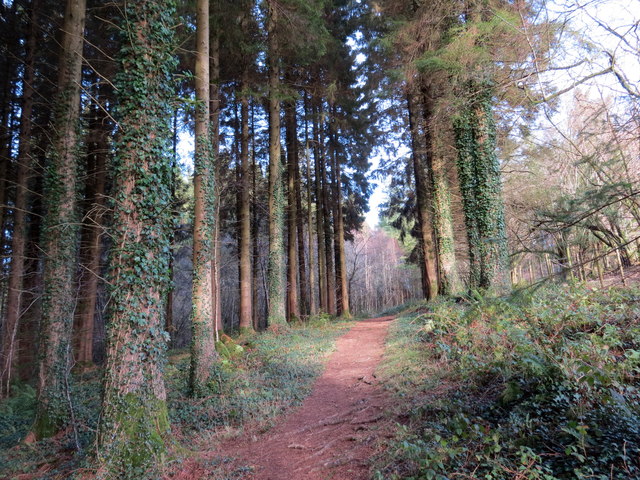
The name Allt Pwll-priddog translates to "hill of the earth hole" in English. This reference is derived from the numerous small sinkholes that can be found throughout the forest, adding to its unique charm. The woodland is predominantly composed of native tree species such as oak, beech, and birch, which provide a rich and varied habitat for a wide array of wildlife.

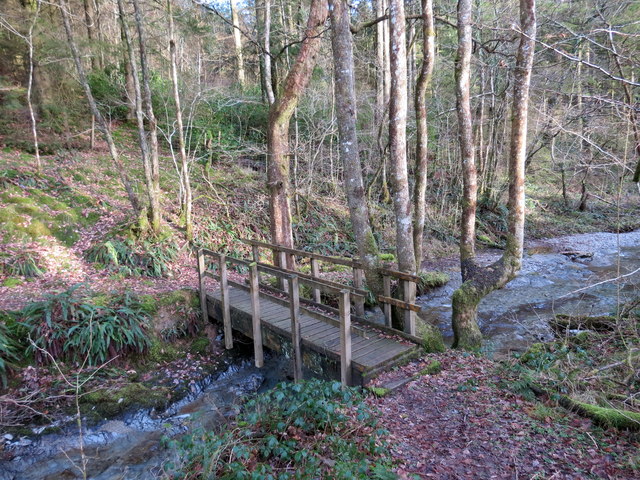
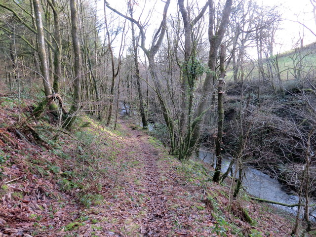
Walking through Allt Pwll-priddog, visitors are treated to a tranquil and serene atmosphere. The forest is crisscrossed by a network of well-maintained footpaths, allowing visitors to explore the woodland at their own pace. Along these paths, one can encounter an abundance of wildlife, including deer, foxes, badgers, and a variety of bird species.

The forest is popular among photographers and artists, as it offers breathtaking views and opportunities to capture the beauty of nature. Additionally, the woodland serves as an outdoor classroom for local schools, providing an immersive learning environment for children to study and appreciate the natural world.

Allt Pwll-priddog is a true gem in the Carmarthenshire countryside, offering visitors a chance to escape the hustle and bustle of everyday life and reconnect with nature. Whether it's a leisurely walk, wildlife spotting, or simply enjoying the tranquil surroundings, this woodland is a must-visit destination for nature enthusiasts of all ages.

If you have any feedback on the listing, please let us know in the comments section below.

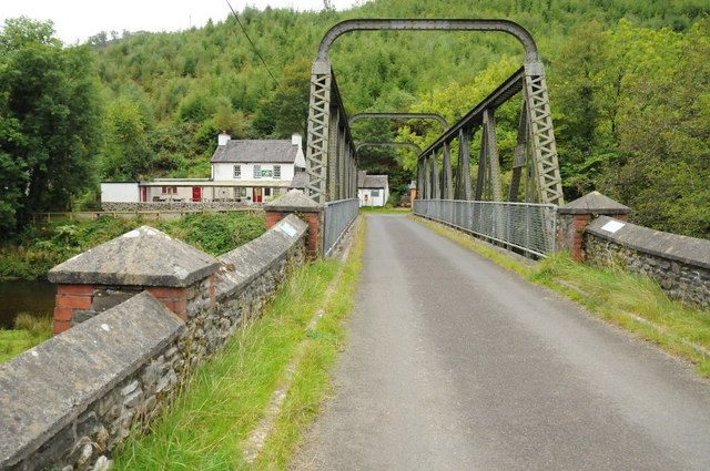
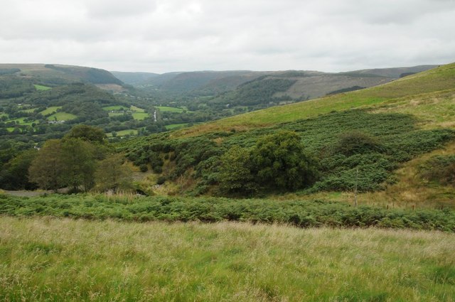
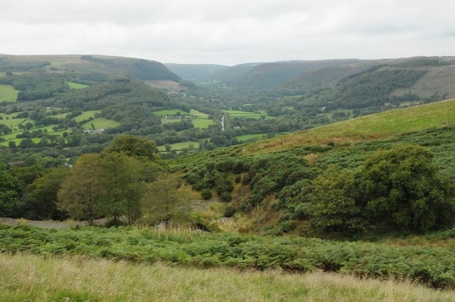
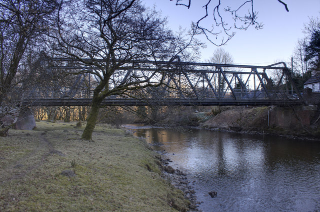
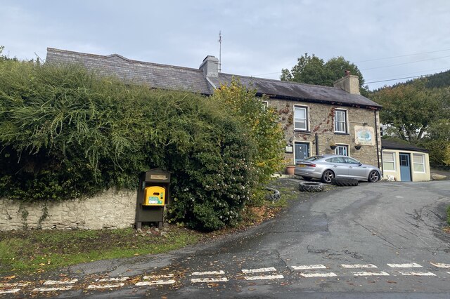
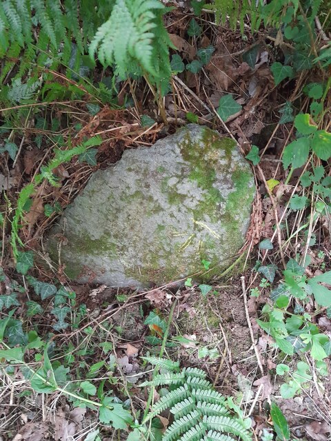
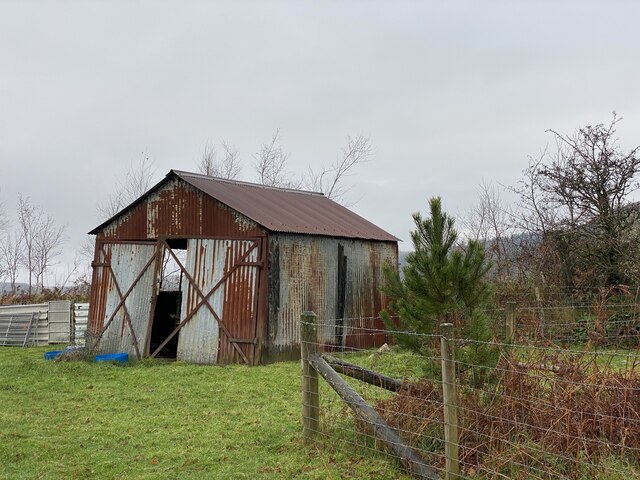
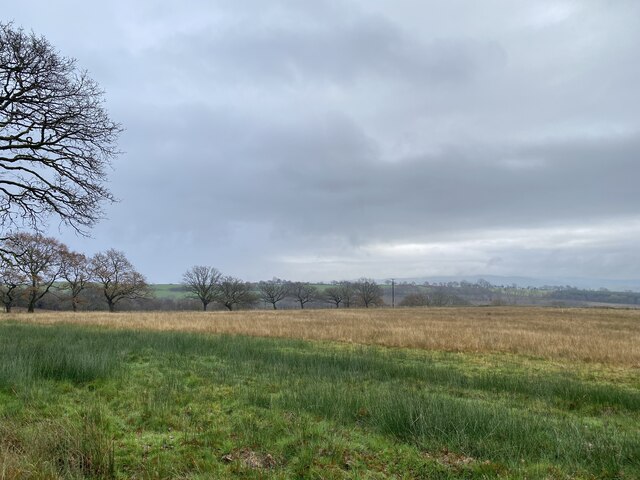
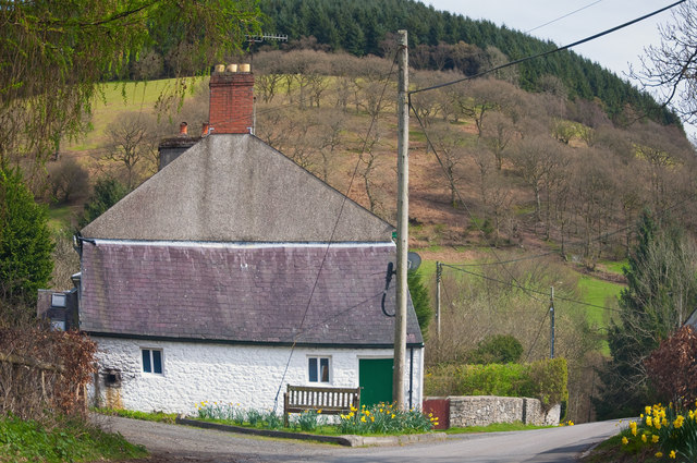
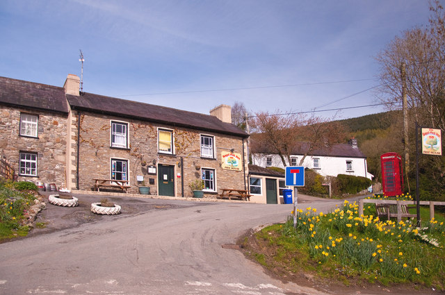
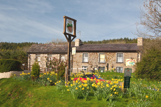
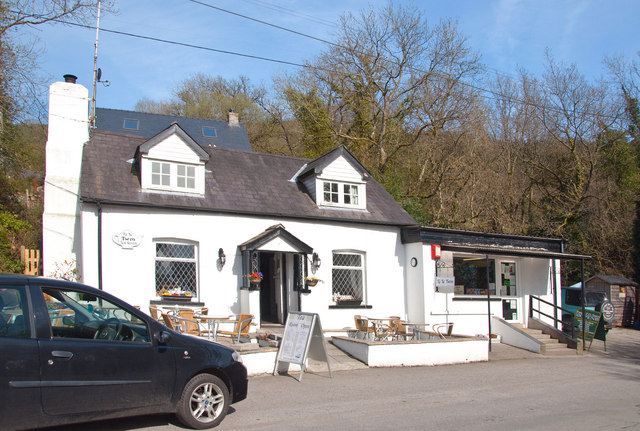
Allt Pwll-priddog Images

Images are sourced within 2km of 52.075452/-3.7905596 or Grid Reference SN7743. Thanks to Geograph Open Source API. All images are credited.

Rhandirmwyn Bridge Rhandirmwyn Bridge, which was built in 1913, crossing Afon Twyi/Towey with The Bridge Inn to the left in the background.
Rhandirmwyn Bridge
Rhandirmwyn Bridge, which was built in 1913, crossing Afon Twyi/Towey with The Bridge Inn to the left in the background.
View into the Twyi valley View into the Twyi valley near Rhandirmwyn.
View into the Twyi valley
View into the Twyi valley near Rhandirmwyn.
View into the Twyi valley View into the Twyi valley near Rhandirmwyn.
View into the Twyi valley
View into the Twyi valley near Rhandirmwyn.
Rhandirmwyn Bridge Built in 1913, linking the 2 sides of the Towy valley by road beside the Towy Bridge Inn, the bridge is a rivetted girder construction.  Before the road bridge was built there was a footbridge and a drift ford, although in wet weather, you'd be brave to try to ford the Towy!  The road across the valley floor (left side of this picture) wasn't there before the bridge was built.
Rhandirmwyn Bridge
Built in 1913, linking the 2 sides of the Towy valley by road beside the Towy Bridge Inn, the bridge is a rivetted girder construction. Before the road bridge was built there was a footbridge and a drift ford, although in wet weather, you'd be brave to try to ford the Towy! The road across the valley floor (left side of this picture) wasn't there before the bridge was built.
Pompren Nant y Rhaeadr / Nant y Rhaeadr Footbridge Pompren yn rhychwantu Nant y Rhaeadr.


A footbridge spanning Nant y Rhaeadr (trans. stream of the waterfall).
Pompren Nant y Rhaeadr / Nant y Rhaeadr Footbridge
Pompren yn rhychwantu Nant y Rhaeadr. A footbridge spanning Nant y Rhaeadr (trans. stream of the waterfall).
Llwybr glanafon / Riverside path Llwybr cyhoeddus ar lan Nant y Rhaeadr.

A public footpath above Nant y Rhaeadr (trans. stream of the waterfall).
Llwybr glanafon / Riverside path
Llwybr cyhoeddus ar lan Nant y Rhaeadr. A public footpath above Nant y Rhaeadr (trans. stream of the waterfall).
Llwybr y coedwig / Woodland path Llwybr o fewn planhigfa goniferaidd Coed y Rhaeadr.

A path within Coed y Rhaeadr (trans. waterfall wood) conifer plantation.
Llwybr y coedwig / Woodland path
Llwybr o fewn planhigfa goniferaidd Coed y Rhaeadr. A path within Coed y Rhaeadr (trans. waterfall wood) conifer plantation.
Milestone, Nant-y-Bai On the road from Nat-y-Bai to Rhandirmwyn

Inscription: Llandovery 8 

Milestone Society National ID: TBA
Milestone, Nant-y-Bai
On the road from Nat-y-Bai to Rhandirmwyn Inscription: Llandovery 8 Milestone Society National ID: TBA
Royal Oak, Rhandirmwyn
Milestone - Llandovery 7 The milestone which is now leaning has an Ordnance Survey cut mark which marked a point 560.9ft above mean sea level.
Milestone - Llandovery 7
The milestone which is now leaning has an Ordnance Survey cut mark which marked a point 560.9ft above mean sea level.
Corrugated iron shed Farm building near Blaen Nant.
Corrugated iron shed
Farm building near Blaen Nant.
Contrasting colours of reed grasses
Rhandirmwyn - Powys
Rhandirmwyn - Powys
The Royal Oak - Rhandirmwyn
Ty te Twm Tea room - Rhandirmwyn
Rhandirmwyn - Powys
Rhandirmwyn - Powys
Rhandirmwyn - Powys
Rhandirmwyn - Powys
Show me another place!

Allt Pwll-priddog is located at Grid Ref: SN7743 (Lat: 52.075452, Lng: -3.7905596)

Unitary Authority: Carmarthenshire

Police Authority: Dyfed Powys

What 3 Words

///mourner.adults.quaking. Near Llandovery, Carmarthenshire

Related Wikis

Pwllpriddog Oak

The Pwllpriddog Oak (Welsh: Derwen Pwllpriddog), also known as the Rhandirmwyn Oak, is a 600–700 year old tree located in farmland near Rhandirmwyn in...

Rhandirmwyn

Rhandirmwyn (or Rhandir-mwyn) is a small village in the north east of Carmarthenshire, Wales. Located in the upper Towy valley, 3 km north of Cilycwm village...

Cilycwm transmitting station

The Cilycwm television relay station is sited on high ground to the east of the village of Cilycwm to the north of Llandovery in Carmarthenshire, South...

Mynydd Mallaen

Mynydd Mallaen (Welsh: [ˈmənɨð ˈmaɬain]) is an expansive plateau to the northwest of Cilycwm in northeast Carmarthenshire, Wales. It forms part of the...

Cynghordy railway station

Cynghordy railway station () serves the rural community of Cynghordy near Llandovery, Carmarthenshire, Wales. The station is on the Heart of Wales Line...

Cilycwm

Cilycwm (Welsh: Cil-y-cwm, IPA: [ˈkiːl ə ˈkʊm]) is a village, parish and community located in Carmarthenshire, Wales. The community population taken at...

Church of St Michael, Cilycwm

The Church of St Michael, Cilycwm is the Church in Wales parish church for the parish of Cilycwm, near Llandovery, Wales. The rubble building with pink...

Cynghordy

Cynghordy () is a village in the rural community of Llanfair-ar-y-bryn in Carmarthenshire, Wales. It lies on the A483 road northeast of the town of Llandovery...

Nearby Amenities

Located within 500m of 52.075452,-3.7905596
Barrier: stile
Foot: yes
Service: survey
Lat/Long: 52.0771523/-3.7845446
Barrier: stile
Foot: yes
Source: survey
Lat/Long: 52.076963/-3.7850807
Barrier: stile
Foot: yes
Source: survey
Lat/Long: 52.07922/-3.7917297
Barrier: cattle_grid
Lat/Long: 52.0769794/-3.7838438
Post Box
Collection Times: Mo-Fr 15:00; Sa 09:15
Post Box Type: lamp
Ref: SA20 213
Royal Cypher: GR
Royal Cypher Wikidata: Q33102273
Lat/Long: 52.0735171/-3.7914761
Barrier: stile
Material: wood
Source: survey;gps
Stile: stepover
Lat/Long: 52.0772192/-3.7845801
Barrier: cattle_grid
Lat/Long: 52.073754/-3.7905369
Power: pole
Lat/Long: 52.0715913/-3.7877539
Power: pole
Lat/Long: 52.0719392/-3.788234
Power: pole
Lat/Long: 52.0734889/-3.7905863
Power: pole
Transformer: distribution
Lat/Long: 52.0738401/-3.7912381
Power: pole
Lat/Long: 52.0742523/-3.7878209
Power: pole
Lat/Long: 52.0736011/-3.78869
Power: pole
Lat/Long: 52.072963/-3.7895831
Power: pole
Lat/Long: 52.0723102/-3.7905219
Power: pole
Lat/Long: 52.0716655/-3.7918711
Power: pole
Lat/Long: 52.071194/-3.792901
The data included in this document is from www.openstreetmap.org. The data is made available under ODbL.

Have you been to Allt Pwll-priddog?

Leave your review of Allt Pwll-priddog below (or comments, questions and feedback).