Coed Caecenau
Wood, Forest in Montgomeryshire
Wales
Coed Caecenau
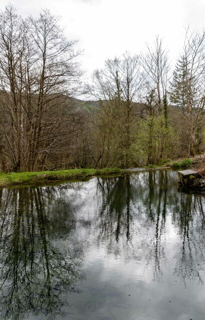
Coed Caecenau is a picturesque wood located in the county of Montgomeryshire, Wales. Spanning approximately 200 acres, this enchanting forest offers a tranquil retreat for nature enthusiasts and hikers alike. The wood is situated in the heart of the country, surrounded by rolling hills and breathtaking scenery.
Coed Caecenau is renowned for its diverse range of flora and fauna, making it a haven for wildlife. Visitors can expect to encounter a variety of bird species, including woodpeckers, buzzards, and owls, as well as small mammals such as squirrels and foxes. The wood is also home to a plethora of plant life, with carpets of bluebells and wild garlic adorning the forest floor in the spring.
Numerous walking trails wind their way through the wood, providing visitors with the opportunity to immerse themselves in nature and explore the beauty of the surroundings. These trails cater to all levels of fitness, from leisurely strolls to more challenging hikes. Along the way, visitors can enjoy panoramic views of the surrounding countryside and discover hidden gems such as a tranquil stream and ancient oak trees.
Coed Caecenau is a popular destination for families, offering picnic areas and designated spaces for children to play. The wood also hosts educational activities and events throughout the year, including guided nature walks and workshops on woodland conservation.
Overall, Coed Caecenau is a captivating woodland retreat that combines natural beauty with recreational opportunities. Whether you are seeking a peaceful escape or an outdoor adventure, this forest in Montgomeryshire is sure to leave visitors with lasting memories.
If you have any feedback on the listing, please let us know in the comments section below.
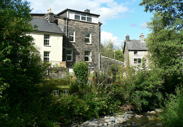
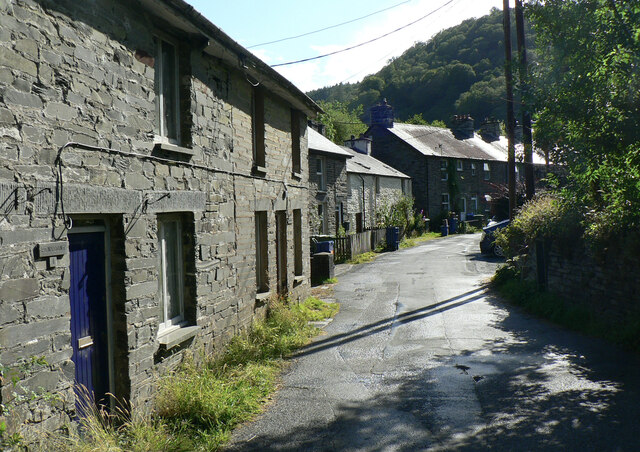
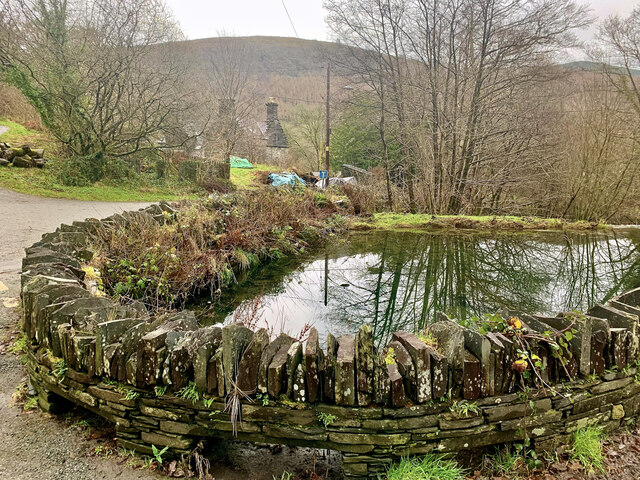
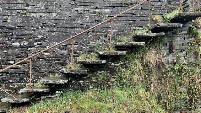
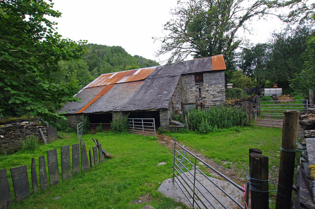
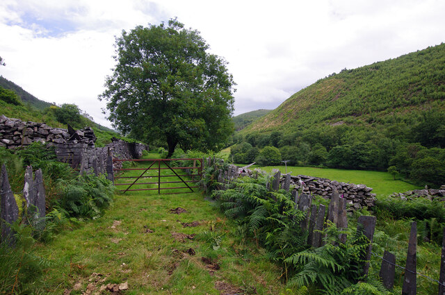
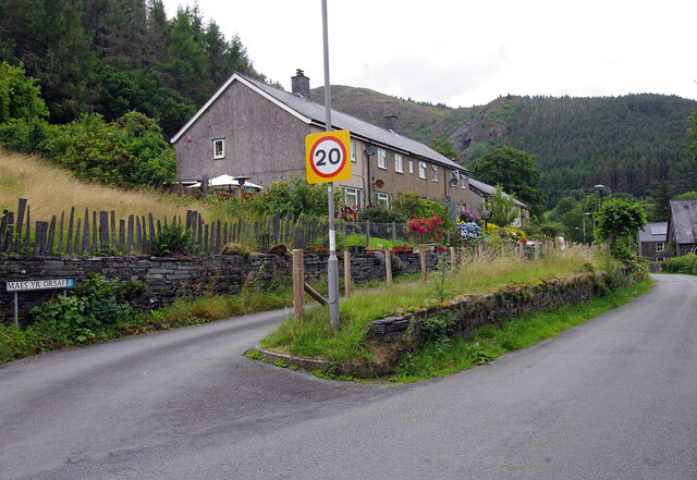
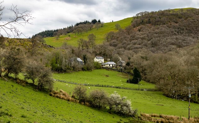
Coed Caecenau Images
Images are sourced within 2km of 52.665782/-3.8193933 or Grid Reference SH7709. Thanks to Geograph Open Source API. All images are credited.

Coed Caecenau is located at Grid Ref: SH7709 (Lat: 52.665782, Lng: -3.8193933)
Unitary Authority: Powys
Police Authority: Dyfed Powys
What 3 Words
///bluffing.sizing.dollars. Near Corris, Gwynedd
Nearby Locations
Related Wikis

Garneddwen
Garneddwen (also known as Garnedd-Wen; English: white cairn) is a hamlet in the south of the county of Gwynedd, Wales. It lies in the historic county of...
Aberllefenni
Aberllefenni is a village in the south of Gwynedd, Wales. It lies in the historic county of Merionethshire/Sir Feirionnydd, in the valley of the Afon Dulas...

Cwm Hengae
Cwm Hengae is a valley that runs roughly north-west from the village of Aberllefenni in Wales. The Afon Llefenni river runs along the valley and several...

Narrow Vein Mudstone Formation
The Narrow Vein Mudstone Formation (commonly known as the Narrow Vein) is an Ordovician lithostratigraphic group (a sequence of rock strata) in Mid Wales...
Nearby Amenities
Located within 500m of 52.665782,-3.8193933Have you been to Coed Caecenau?
Leave your review of Coed Caecenau below (or comments, questions and feedback).