Coed Carnedditewion
Wood, Forest in Merionethshire
Wales
Coed Carnedditewion
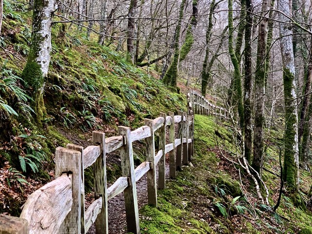
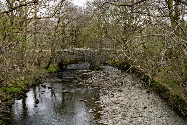
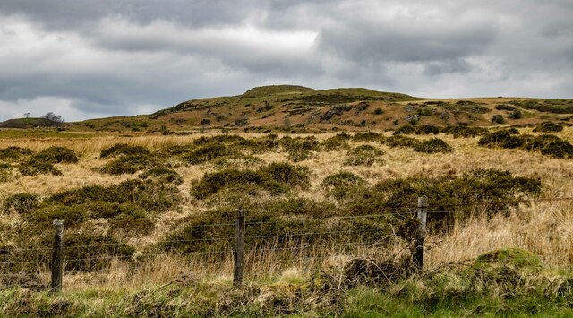
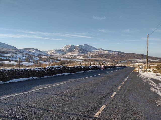
Coed Carnedditewion, located in Merionethshire, is a picturesque woodland area renowned for its natural beauty and rich biodiversity. Spanning approximately 200 acres, this ancient forest is nestled within the stunning Snowdonia National Park in Wales.
The woodland is characterized by a diverse range of tree species, including oak, birch, ash, and rowan, which create a lush canopy overhead. The forest floor is blanketed with various wildflowers, ferns, and mosses, adding to its enchanting atmosphere. The dense vegetation provides a habitat for numerous wildlife species, such as red squirrels, badgers, foxes, and a plethora of birdlife.
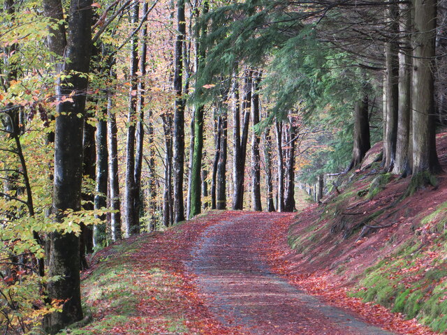
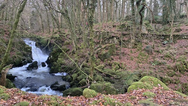
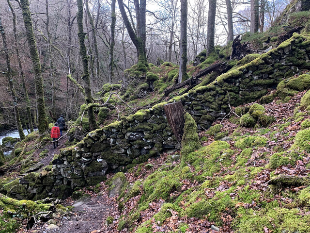
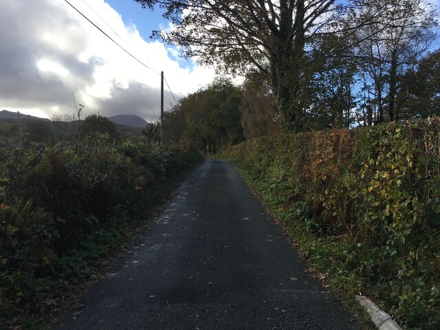
Coed Carnedditewion offers visitors a tranquil escape from the hustle and bustle of everyday life. The forest is crisscrossed by a network of well-maintained footpaths, allowing visitors to explore its hidden treasures at their own pace. These paths lead to breathtaking viewpoints, cascading waterfalls, and serene meadows, offering opportunities for walking, hiking, and picnicking amidst the natural splendor.
The woodland has also been designated as a Site of Special Scientific Interest (SSSI) due to its ecological importance. Conservation efforts are underway to protect and preserve the forest's unique ecosystem, ensuring its sustainability for future generations. Educational programs and guided tours are available to increase awareness about the forest's ecological significance and promote responsible visitor behavior.
Coed Carnedditewion is a true gem in the heart of Merionethshire, attracting nature enthusiasts, photographers, and those seeking solace in the beauty of the natural world. With its captivating landscapes, diverse flora and fauna, and commitment to conservation, this woodland offers a truly memorable experience for all who venture within its ancient boundaries.
If you have any feedback on the listing, please let us know in the comments section below.
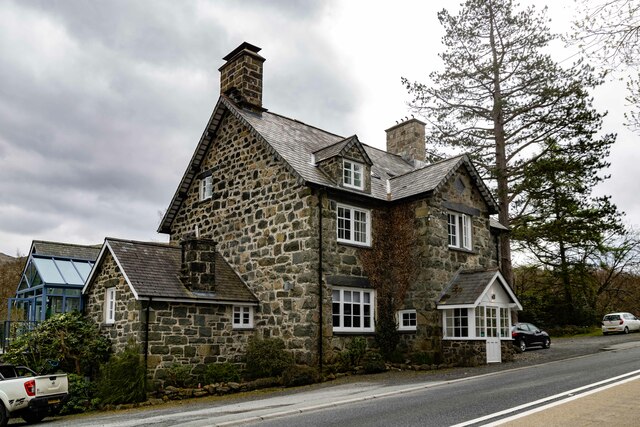
Coed Carnedditewion Images
Images are sourced within 2km of 52.741079/-3.8340985 or Grid Reference SH7617. Thanks to Geograph Open Source API. All images are credited.


Coed Carnedditewion is located at Grid Ref: SH7617 (Lat: 52.741079, Lng: -3.8340985)
Unitary Authority: Gwynedd
Police Authority: North Wales
What 3 Words
///promoting.budget.listening. Near Dolgellau, Gwynedd
Related Wikis

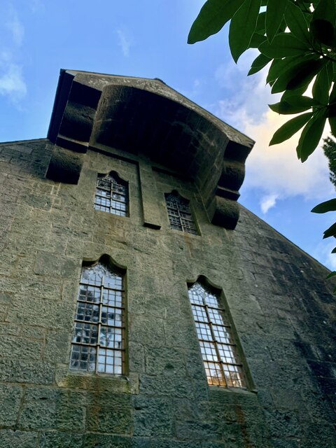
St Mark's Church, Brithdir
St Mark's Church, Brithdir, is a redundant church in the hamlet of Brithdir, Gwynedd, Wales. It is designated by Cadw as a Grade I listed building, and...
Brithdir, Gwynedd
Brithdir is a small hamlet on the outskirts of Dolgellau, Gwynedd in the community of Brithdir and Llanfachreth. The Arts and Crafts Movement St Mark's...

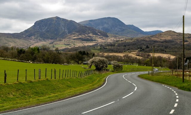
Meirionnydd
Meirionnydd is a coastal and mountainous region of Wales. It has been a kingdom, a cantref, a district and, as Merionethshire, a county. == Kingdom... ==

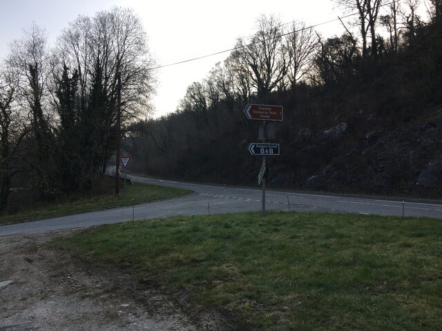
Dolserau Halt railway station
Dolserau Halt (Pron: Dol-seh-rye) in Gwynedd, Wales, was on the Ruabon to Barmouth line. The platform edge was made of timber and was situated on the north...
Nearby Amenities
Located within 500m of 52.741079,-3.8340985Have you been to Coed Carnedditewion?
Leave your review of Coed Carnedditewion below (or comments, questions and feedback).