Coed Cra
Wood, Forest in Merionethshire
Wales
Coed Cra
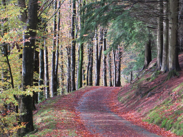
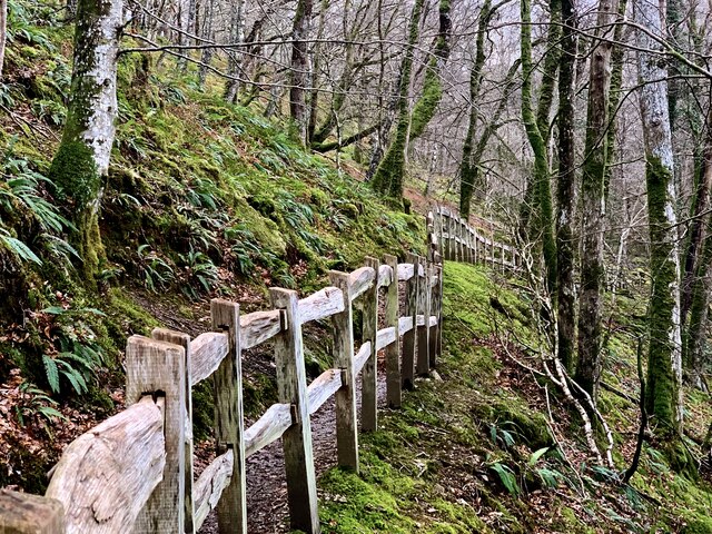
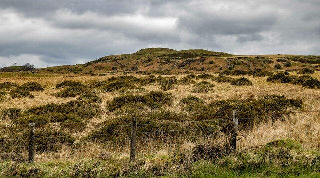
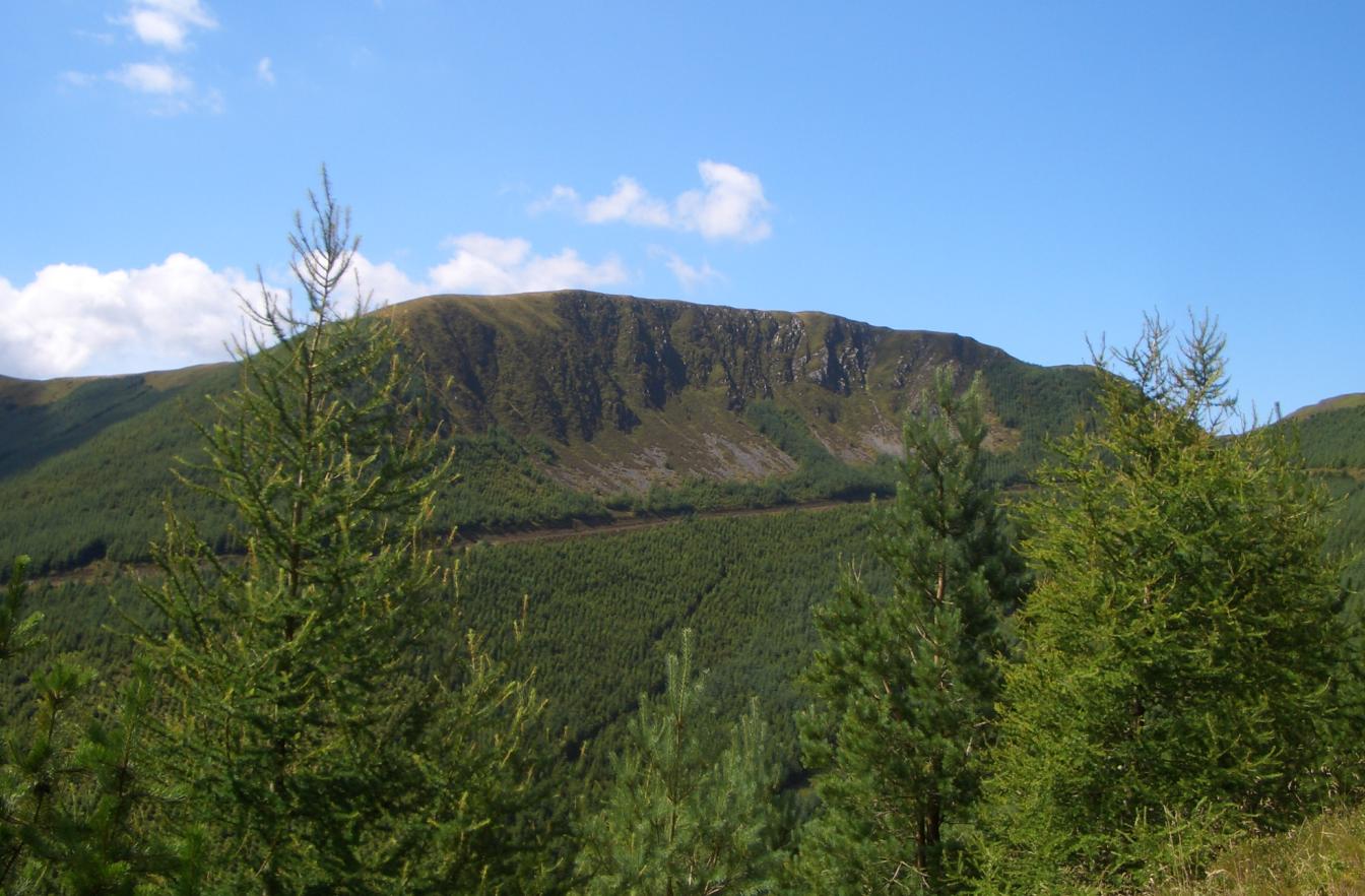
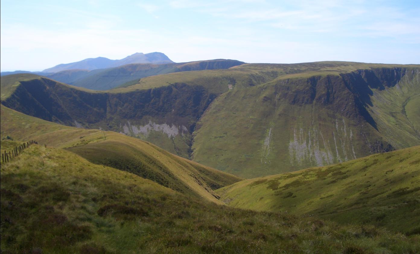
Coed Cra is a captivating woodland located in the county of Merionethshire, Wales. Spread across an area of approximately 200 acres, it offers a serene and picturesque setting for nature enthusiasts and hikers alike. The name Coed Cra translates to "wood" or "forest" in Welsh, which aptly describes the lush vegetation and towering trees that dominate the landscape.
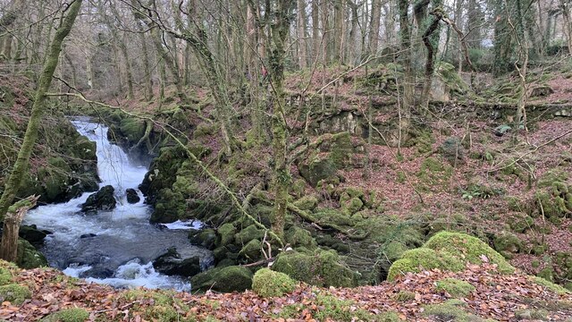
The woodland is known for its diverse range of flora and fauna, making it an ideal habitat for various wildlife species. Visitors can expect to encounter a plethora of bird species, including woodpeckers, owls, and thrushes, which fill the air with their melodic calls. The forest floor is adorned with a carpet of native wildflowers, providing a vibrant burst of color throughout the seasons.
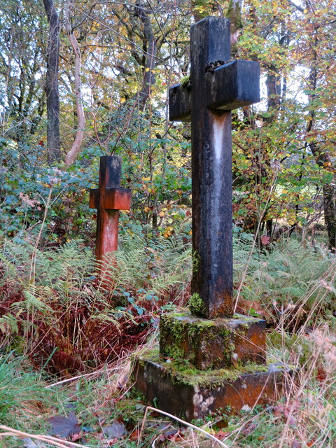
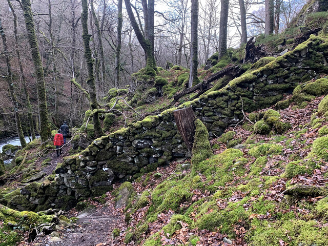
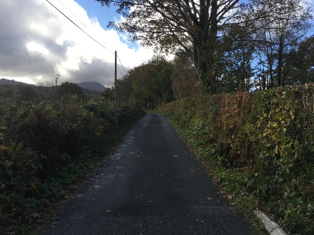
Traversing the woodland, visitors will find a network of well-maintained trails that lead to captivating viewpoints and hidden gems. These paths wind through dense foliage, offering glimpses of cascading streams and tranquil ponds. Along the way, hikers may stumble upon ancient ruins or remnants of historical structures, providing an intriguing glimpse into the area's past.
Coed Cra is a popular destination for outdoor activities such as hiking, birdwatching, and photography. The tranquil ambiance and breathtaking scenery make it an ideal place to unwind, connect with nature, or simply enjoy a peaceful picnic amidst the beauty of the woodland. Whether exploring its hidden corners or simply basking in the serenity of its surroundings, Coed Cra promises an unforgettable experience for all who venture into its embrace.
If you have any feedback on the listing, please let us know in the comments section below.
Coed Cra Images
Images are sourced within 2km of 52.742016/-3.8240641 or Grid Reference SH7617. Thanks to Geograph Open Source API. All images are credited.


Coed Cra is located at Grid Ref: SH7617 (Lat: 52.742016, Lng: -3.8240641)
Unitary Authority: Gwynedd
Police Authority: North Wales
What 3 Words
///settle.cracking.swarm. Near Dolgellau, Gwynedd
Related Wikis

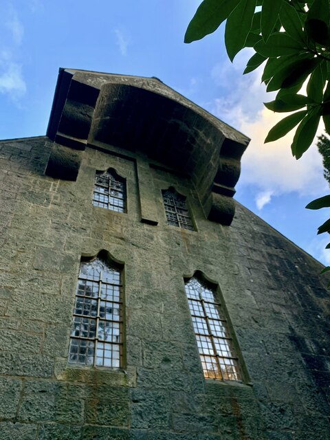
St Mark's Church, Brithdir
St Mark's Church, Brithdir, is a redundant church in the hamlet of Brithdir, Gwynedd, Wales. It is designated by Cadw as a Grade I listed building, and...
Brithdir, Gwynedd
Brithdir is a small hamlet on the outskirts of Dolgellau, Gwynedd in the community of Brithdir and Llanfachreth. The Arts and Crafts Movement St Mark's...

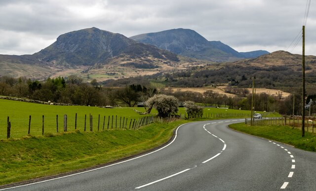
Meirionnydd
Meirionnydd is a coastal and mountainous region of Wales. It has been a kingdom, a cantref, a district and, as Merionethshire, a county. == Kingdom... ==

Dolserau Halt railway station
Dolserau Halt (Pron: Dol-seh-rye) in Gwynedd, Wales, was on the Ruabon to Barmouth line. The platform edge was made of timber and was situated on the north...
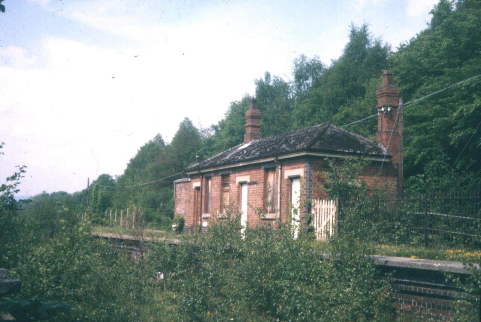
Bont Newydd railway station
Bont Newydd railway station (sometimes shown as Bontnewydd) in Gwynedd, Wales, was a station on the now-closed Ruabon to Barmouth line. Originally a single...
Waun-oer
Waun-oer is a mountain in Snowdonia, North Wales, situated approximately four miles to the south-west of Aran Fawddwy. It is one of the peaks in the Dyfi...
Cribin Fawr
Cribin Fawr is a mountain in Snowdonia, North Wales, situated approximately four miles to the south-west of Aran Fawddwy. It is one of the peaks in the...

Dolgelley power station
Dolgelley or Dolgellau power station was a combined diesel and hydroelectric generating station. It provided electricity to the town of Dolgellau, Gwynedd...
Nearby Amenities
Located within 500m of 52.742016,-3.8240641Have you been to Coed Cra?
Leave your review of Coed Cra below (or comments, questions and feedback).