Coed Careg-y-gâth
Wood, Forest in Merionethshire
Wales
Coed Careg-y-gâth
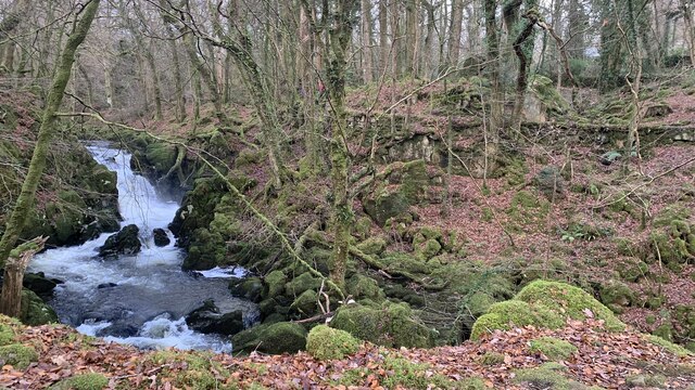
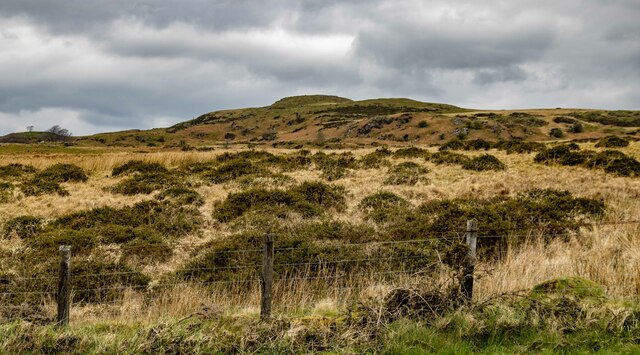
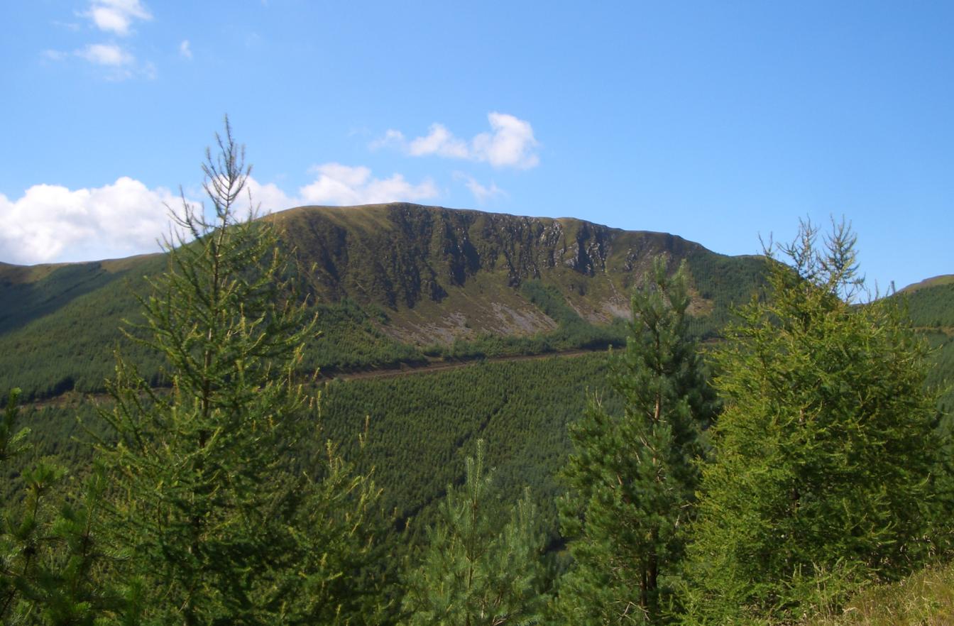
Coed Careg-y-gâth is a picturesque woodland area situated in Merionethshire, Wales. Covering a vast expanse of land, this forest offers a tranquil retreat for nature enthusiasts and outdoor adventurers alike.
The woodland is characterized by its dense canopy of trees, primarily consisting of oak, beech, and pine. These ancient trees provide a rich habitat for a diverse range of flora and fauna, making it an ideal spot for wildlife enthusiasts. Visitors may catch a glimpse of various bird species, such as buzzards, woodpeckers, and owls, as well as small mammals like badgers and foxes.
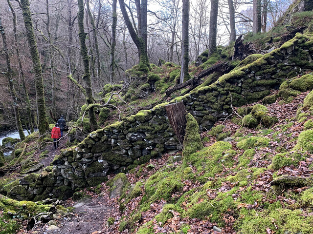
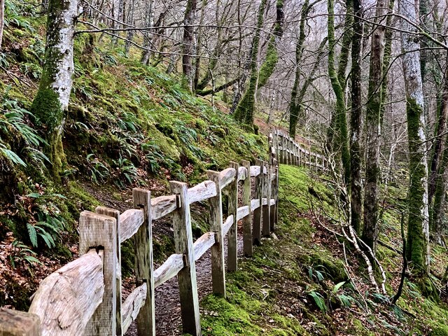
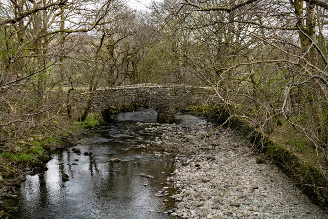
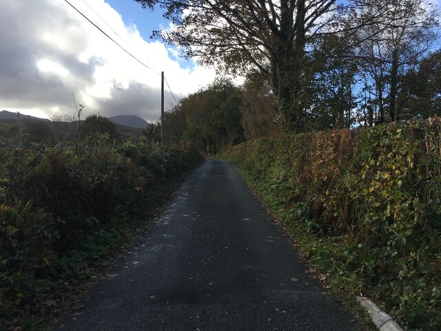
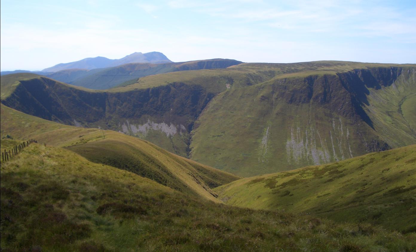
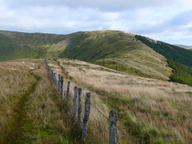
Coed Careg-y-gâth boasts a network of well-maintained walking trails, allowing visitors to explore the forest and discover its hidden treasures. These paths lead to stunning viewpoints, babbling brooks, and serene picnic spots, offering visitors the chance to relax and immerse themselves in the natural beauty of the surroundings.
For those seeking a more adventurous experience, the forest also offers opportunities for mountain biking and horse riding. With its varied terrain and challenging trails, Coed Careg-y-gâth caters to both beginners and experienced riders, providing an exhilarating experience amidst the breathtaking scenery.
In addition to its natural beauty, Coed Careg-y-gâth holds cultural significance as well. The nearby historic town of Dolgellau, with its charming architecture and rich heritage, offers a glimpse into the area's past and serves as a gateway to the forest.
Overall, Coed Careg-y-gâth in Merionethshire is a haven for nature lovers and outdoor enthusiasts, offering a diverse range of activities and breathtaking landscapes to explore.
If you have any feedback on the listing, please let us know in the comments section below.
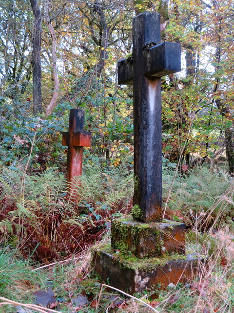
Coed Careg-y-gâth Images
Images are sourced within 2km of 52.739674/-3.8237737 or Grid Reference SH7617. Thanks to Geograph Open Source API. All images are credited.


Coed Careg-y-gâth is located at Grid Ref: SH7617 (Lat: 52.739674, Lng: -3.8237737)
Unitary Authority: Gwynedd
Police Authority: North Wales
What 3 Words
///forgotten.refutes.decompose. Near Dolgellau, Gwynedd
Related Wikis

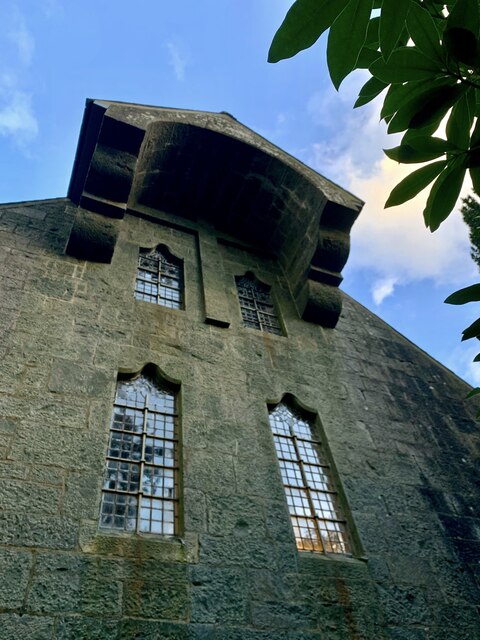
St Mark's Church, Brithdir
St Mark's Church, Brithdir, is a redundant church in the hamlet of Brithdir, Gwynedd, Wales. It is designated by Cadw as a Grade I listed building, and...
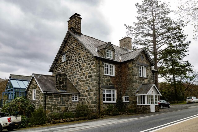
Brithdir, Gwynedd
Brithdir is a small hamlet on the outskirts of Dolgellau, Gwynedd in the community of Brithdir and Llanfachreth. The Arts and Crafts Movement St Mark's...

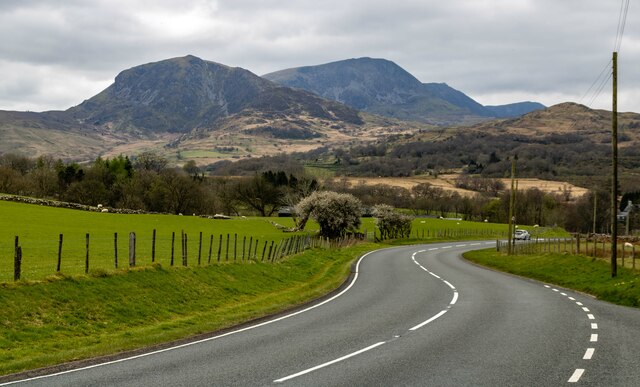
Meirionnydd
Meirionnydd is a coastal and mountainous region of Wales. It has been a kingdom, a cantref, a district and, as Merionethshire, a county. == Kingdom... ==

Dolserau Halt railway station
Dolserau Halt (Pron: Dol-seh-rye) in Gwynedd, Wales, was on the Ruabon to Barmouth line. The platform edge was made of timber and was situated on the north...
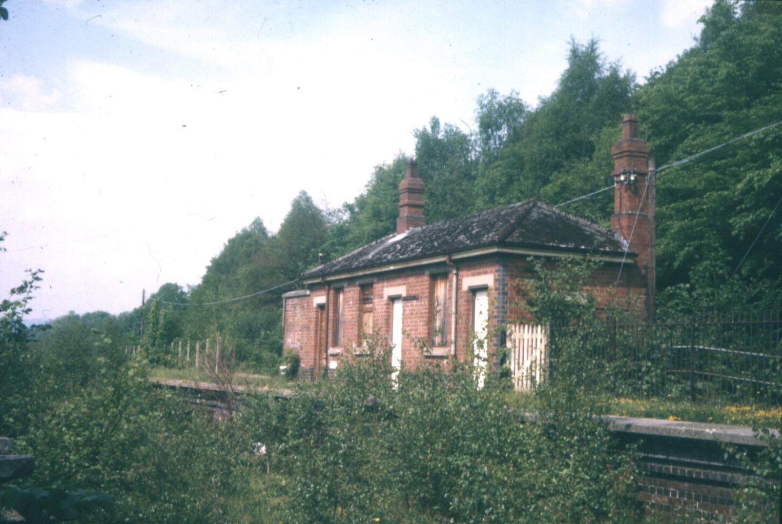
Bont Newydd railway station
Bont Newydd railway station (sometimes shown as Bontnewydd) in Gwynedd, Wales, was a station on the now-closed Ruabon to Barmouth line. Originally a single...
Waun-oer
Waun-oer is a mountain in Snowdonia, North Wales, situated approximately four miles to the south-west of Aran Fawddwy. It is one of the peaks in the Dyfi...
Cribin Fawr
Cribin Fawr is a mountain in Snowdonia, North Wales, situated approximately four miles to the south-west of Aran Fawddwy. It is one of the peaks in the...
Mynydd Ceiswyn
Mynydd Ceiswyn is a mountain in Wales. It is the peak south of Waun-oer in the Dyfi Hills. On the east side of the mountain is the valley of the Nant Ceiswyn...
Nearby Amenities
Located within 500m of 52.739674,-3.8237737Have you been to Coed Careg-y-gâth?
Leave your review of Coed Careg-y-gâth below (or comments, questions and feedback).