Coed y Brain
Wood, Forest in Merionethshire
Wales
Coed y Brain
Coed y Brain is a picturesque woodland located in Merionethshire, Wales. Spread across an expansive area, this forest is known for its natural beauty and tranquility. It is situated in close proximity to the village of Llanfachreth and is easily accessible for nature enthusiasts and hikers.
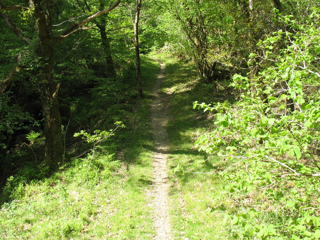
The woodland is characterized by its dense canopy of trees, predominantly consisting of native species such as oak, beech, and pine. The varying heights of these trees create a diverse ecosystem, supporting a wide range of flora and fauna. Coed y Brain is home to numerous bird species, including woodpeckers, owls, and various songbirds, making it a popular spot for birdwatching.
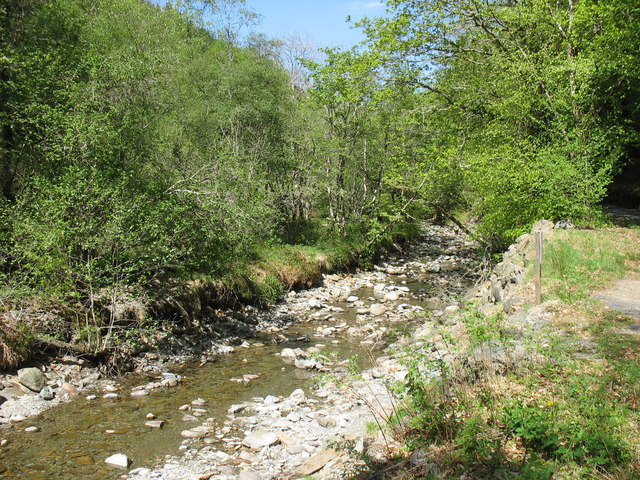
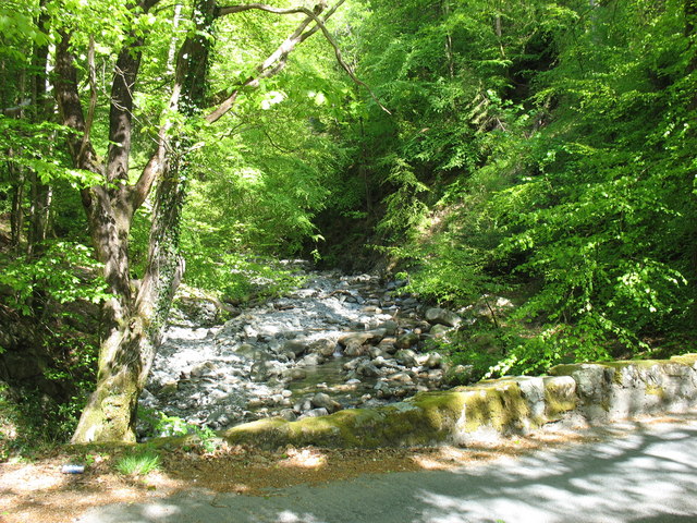
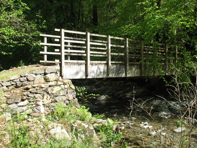
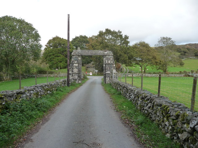
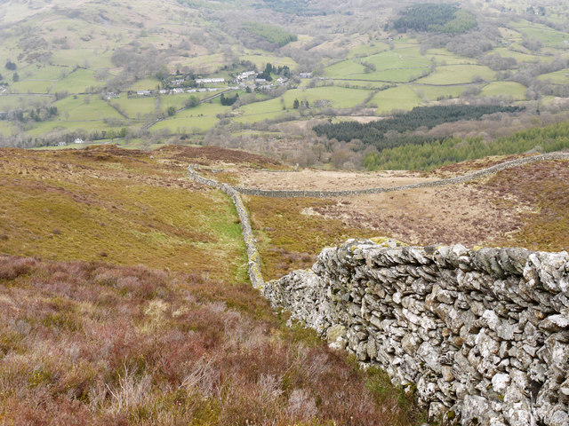
Visitors to Coed y Brain can enjoy a multitude of activities, including walking and hiking along the well-maintained trails that weave through the forest. These trails offer breathtaking views of the surrounding landscape, including rolling hills and meandering streams. The enchanting atmosphere of the woodland also provides an ideal setting for picnics or simply unwinding amidst nature.
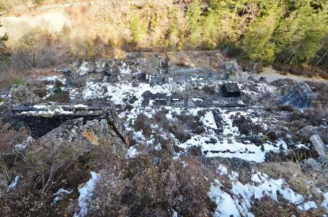
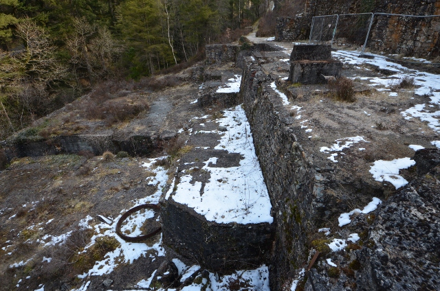
Coed y Brain is not only a haven for nature lovers but also holds historical significance. The remnants of ancient settlements and burial sites can be found within the forest, offering a glimpse into the region's past. Archaeological discoveries have revealed artifacts from the Bronze Age, further adding to the allure of the woodland.
In conclusion, Coed y Brain in Merionethshire, Wales, is a captivating woodland that showcases the beauty of nature. With its diverse range of trees, abundant wildlife, and historical significance, it is a destination that appeals to both nature enthusiasts and those interested in the region's rich heritage.
If you have any feedback on the listing, please let us know in the comments section below.
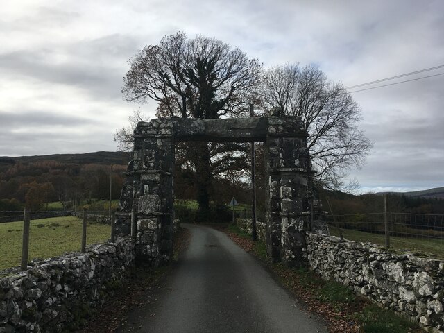
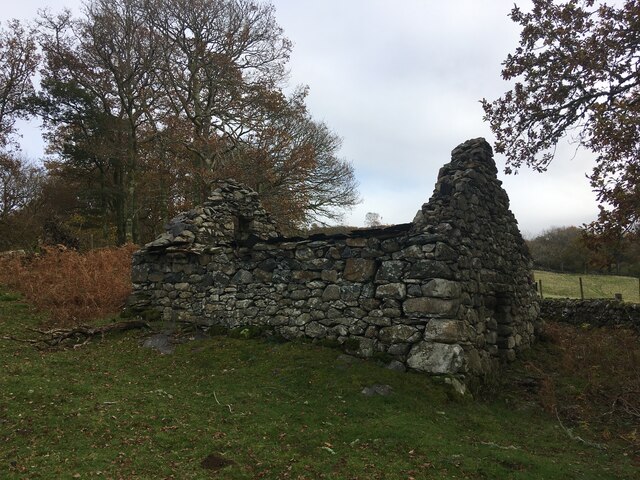
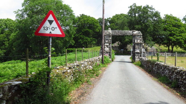
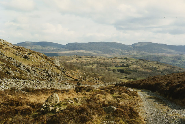
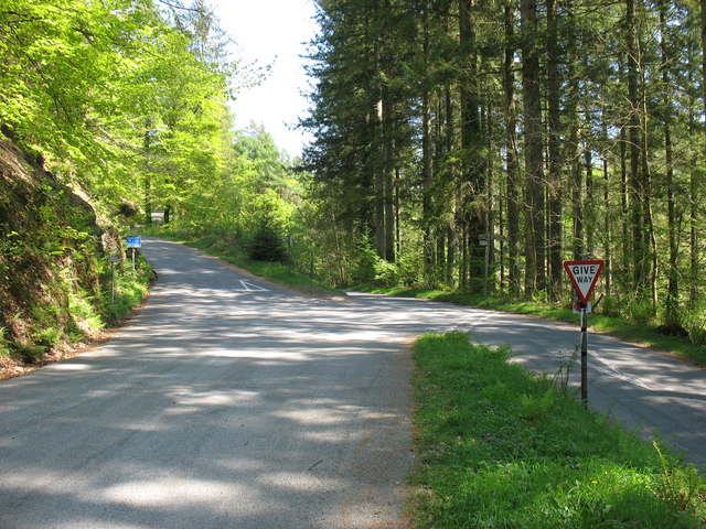
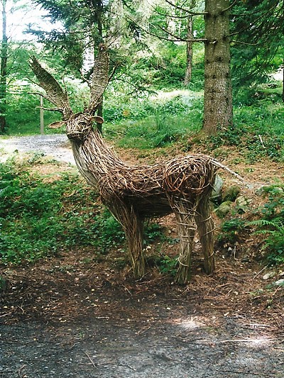
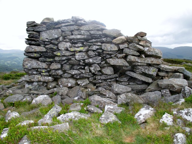
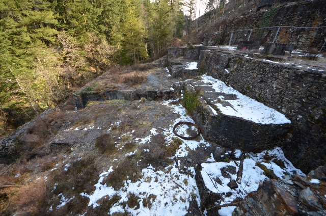
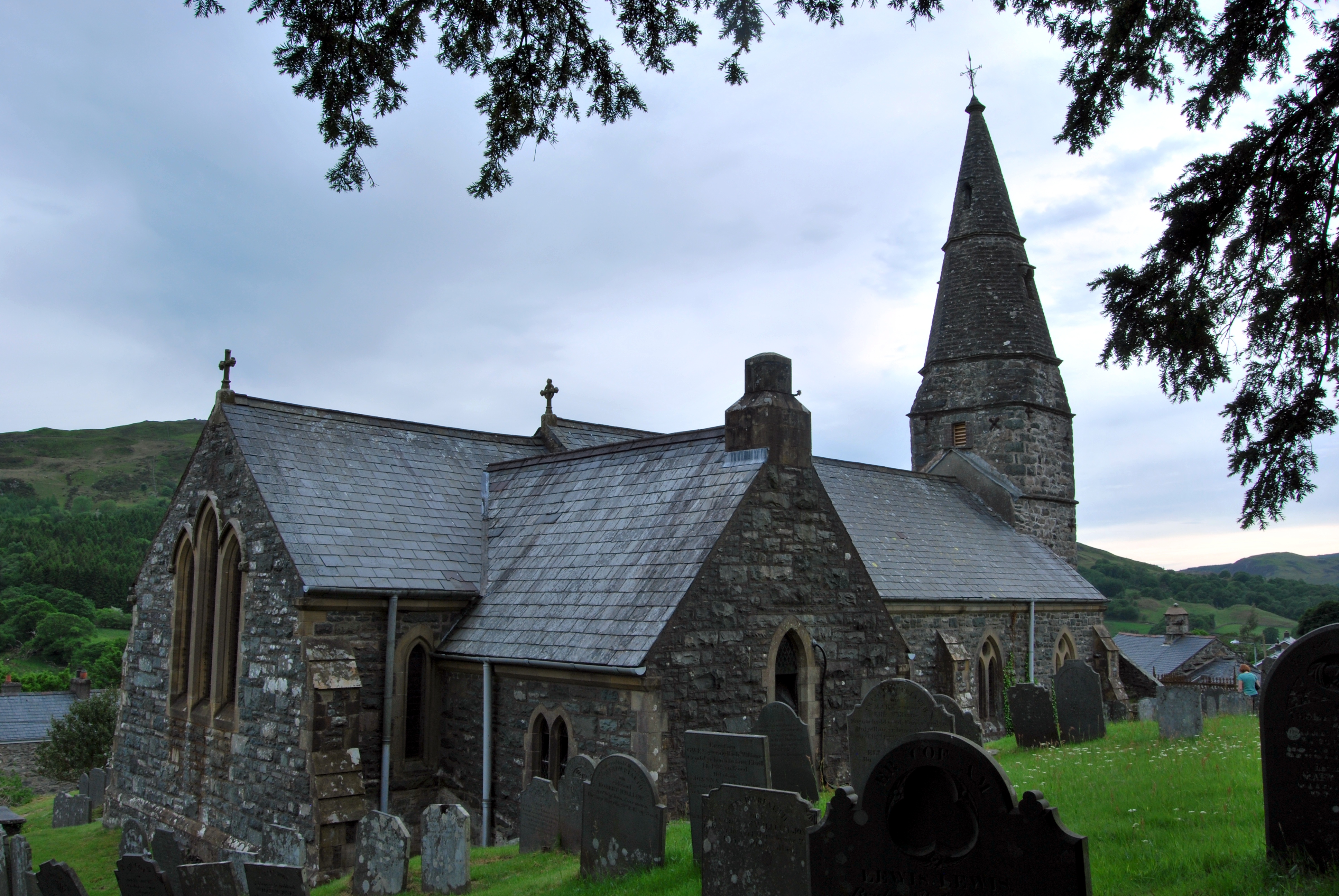
Coed y Brain Images
Images are sourced within 2km of 52.788751/-3.8448682 or Grid Reference SH7522. Thanks to Geograph Open Source API. All images are credited.

Coed y Brain is located at Grid Ref: SH7522 (Lat: 52.788751, Lng: -3.8448682)
Unitary Authority: Gwynedd
Police Authority: North Wales
What 3 Words
///inch.goats.rivals. Near Dolgellau, Gwynedd
Nearby Locations
Related Wikis
Llanfachreth
Llanfachreth is a settlement approximately three miles north-east of Dolgellau, Gwynedd, in the community of Brithdir and Llanfachreth within the historic...

Nannau, Wales
Nannau (Welsh for 'the place of many streams'') is a Georgian mansion and estate near the village of Llanfachreth, Gwynedd, North Wales, UK. The mansion...
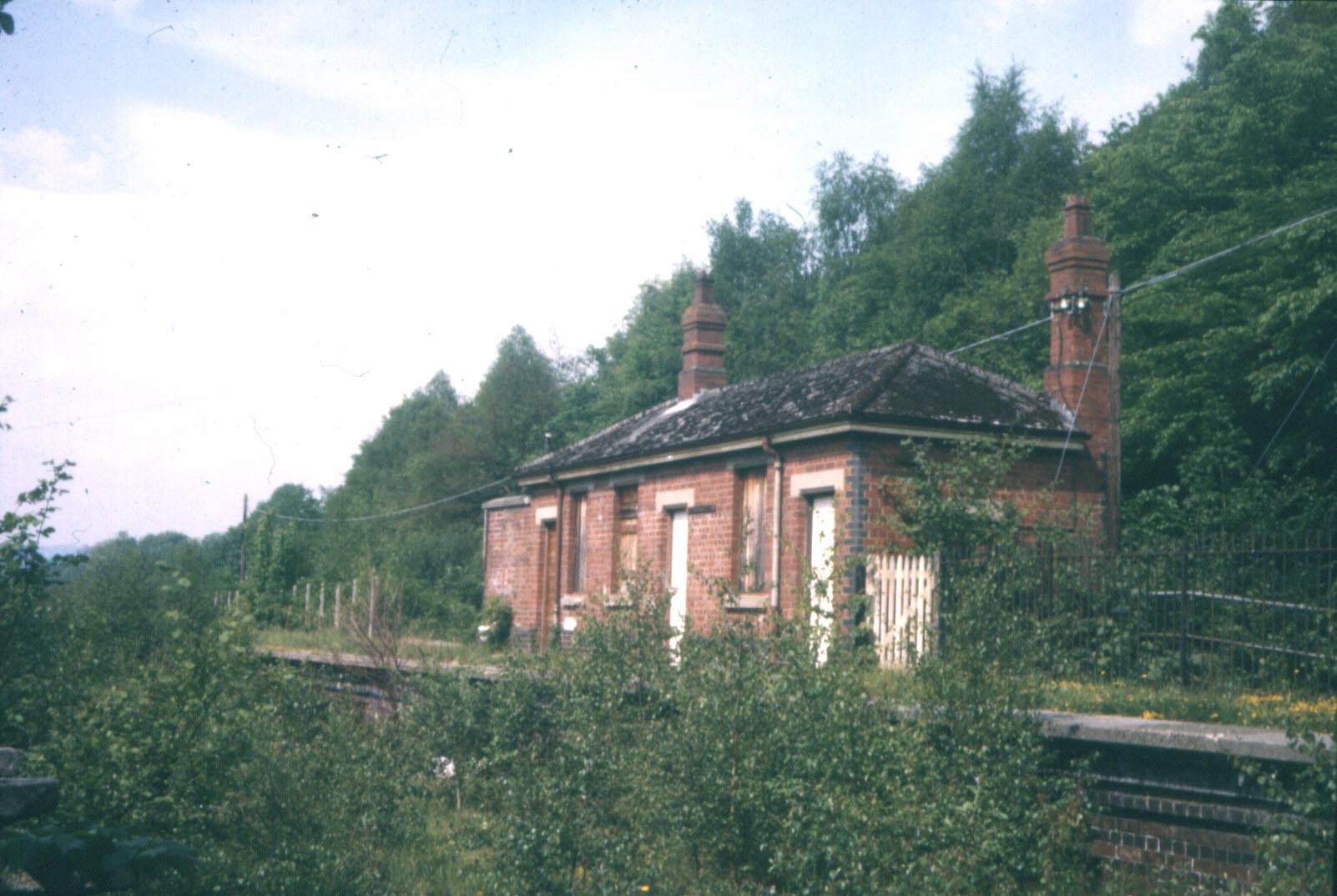
Bont Newydd railway station
Bont Newydd railway station (sometimes shown as Bontnewydd) in Gwynedd, Wales, was a station on the now-closed Ruabon to Barmouth line. Originally a single...

Ganllwyd
Ganllwyd is a small village and community in southern Gwynedd, Wales. It lies in the Snowdonia National Park to the north of Dolgellau. A470 passes through...
Nearby Amenities
Located within 500m of 52.788751,-3.8448682Have you been to Coed y Brain?
Leave your review of Coed y Brain below (or comments, questions and feedback).