Coed Llaneithyr
Wood, Forest in Cardiganshire
Wales
Coed Llaneithyr
Coed Llaneithyr is a picturesque woodland located in Cardiganshire, Wales. Covering an area of approximately 100 acres, it is a haven for nature lovers and outdoor enthusiasts alike. The woodland is nestled in a remote and tranquil setting, offering visitors a peaceful retreat from the hustle and bustle of everyday life.
The forest is predominantly made up of native tree species, including oak, beech, and birch, creating a diverse and vibrant ecosystem. The dense canopy provides a sheltered environment for a wide range of flora and fauna to thrive. Visitors can expect to find an abundance of wildflowers, ferns, and mosses, adding to the enchanting atmosphere of the woodland.
Coed Llaneithyr offers a network of well-maintained walking trails, allowing visitors to explore the forest at their own pace. These trails vary in difficulty, catering to both casual strollers and more experienced hikers. Along the way, visitors may come across babbling brooks, small waterfalls, and scenic viewpoints, adding to the charm of the woodland.
The forest is also home to a variety of wildlife, including deer, foxes, badgers, and a wide array of bird species. Birdwatchers will be delighted by the opportunity to spot rare and elusive species such as the red kite and the pied flycatcher.
Overall, Coed Llaneithyr offers a tranquil and captivating woodland experience, providing visitors with a chance to immerse themselves in the beauty of nature. Whether it's a leisurely walk, a birdwatching expedition, or simply a moment of solitude, this wood is sure to leave a lasting impression on all who visit.
If you have any feedback on the listing, please let us know in the comments section below.
Coed Llaneithyr Images
Images are sourced within 2km of 52.378855/-3.8278183 or Grid Reference SN7577. Thanks to Geograph Open Source API. All images are credited.

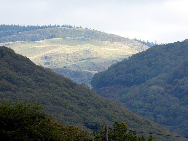


![Cwm Mynach Viewed from near Gwar-felin [cottage].](https://s2.geograph.org.uk/geophotos/07/19/16/7191674_e81e04e8.jpg)


Coed Llaneithyr is located at Grid Ref: SN7577 (Lat: 52.378855, Lng: -3.8278183)
Unitary Authority: Ceredigion
Police Authority: Dyfed Powys
What 3 Words
///cities.noted.earpiece. Near Cwmystwyth, Ceredigion
Nearby Locations
Related Wikis

Afon Mynach
Afon Mynach (Welsh pronunciation: [ˈmənaχ]; also known as the River Mynach) is a river in Ceredigion, Wales. Its source is at the meeting of two smaller...
Mynach Falls
Mynach Falls (Welsh: Rhaeadr Mynach) is a waterfall near Aberystwyth in the county of Ceredigion, Wales. It occurs where the River Mynach drops 90 metres...
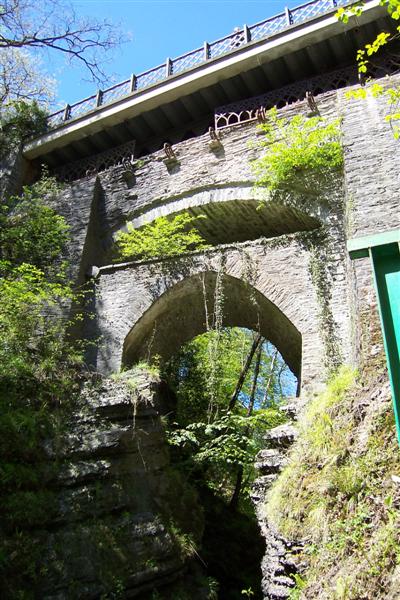
Devil's Bridge, Ceredigion
Devil's Bridge (Welsh: Pontarfynach, lit. "The bridge on the Mynach") is a village and community in Ceredigion, Wales. Above the River Mynach on the edge...

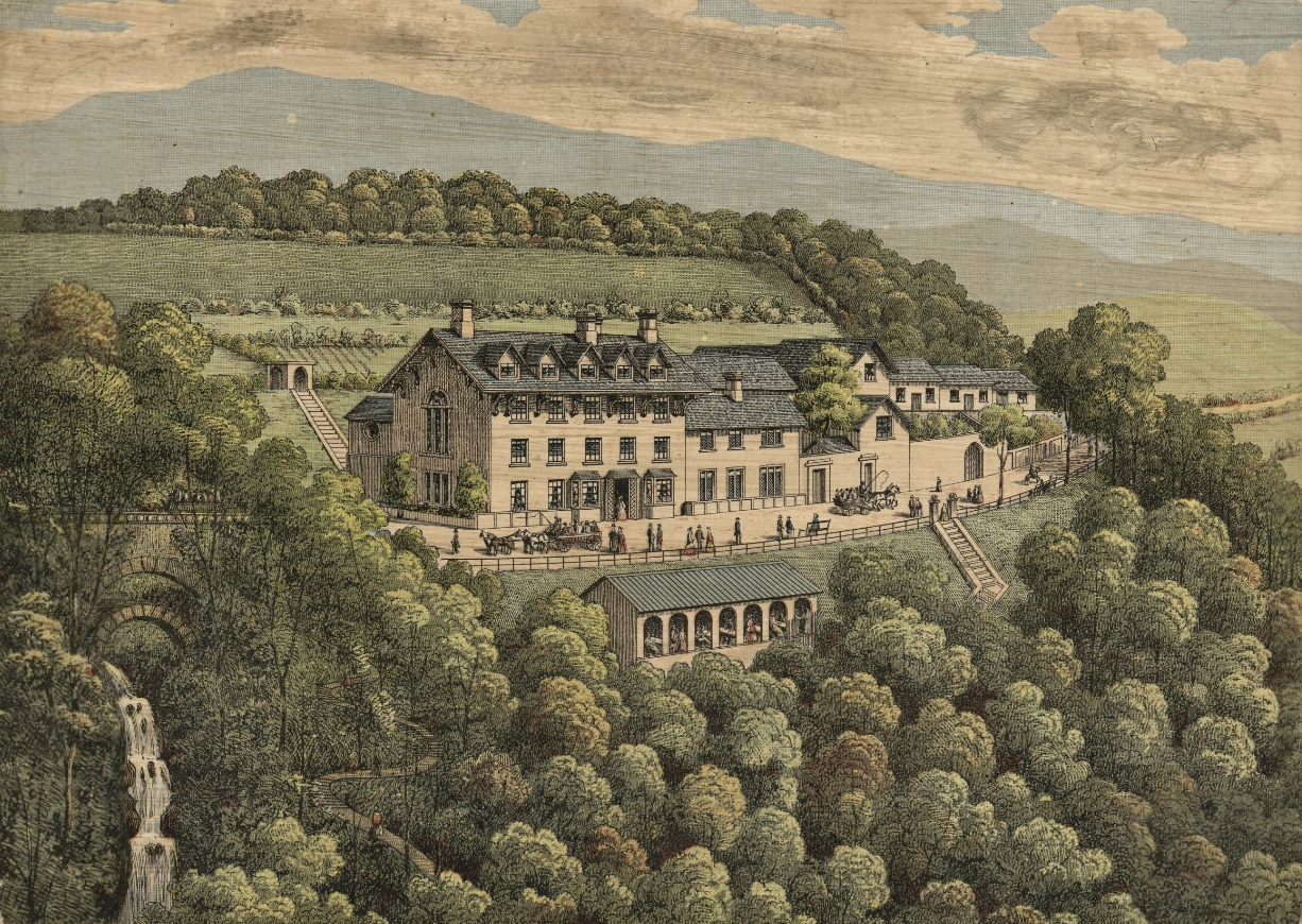
Devil's Bridge railway station
Devil's Bridge railway station is a railway station serving Devil's Bridge in Ceredigion in Mid-Wales. It is the eastern terminus of the preserved Vale...
Nearby Amenities
Located within 500m of 52.378855,-3.8278183Have you been to Coed Llaneithyr?
Leave your review of Coed Llaneithyr below (or comments, questions and feedback).