Ffynnon y Capel
Heritage Site in Merionethshire
Wales
Ffynnon y Capel
Ffynnon y Capel, located in Merionethshire, Wales, is a significant heritage site renowned for its historical and cultural importance. Also known as the Chapel Well, it is a natural spring that has been revered for centuries.
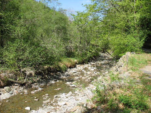
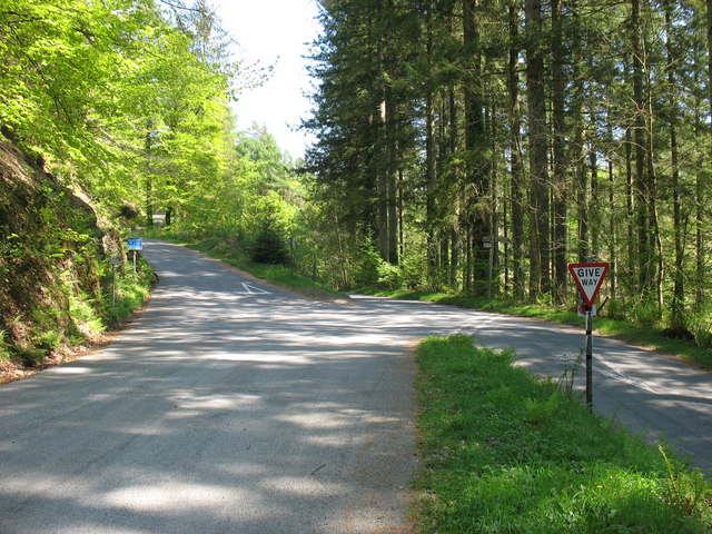
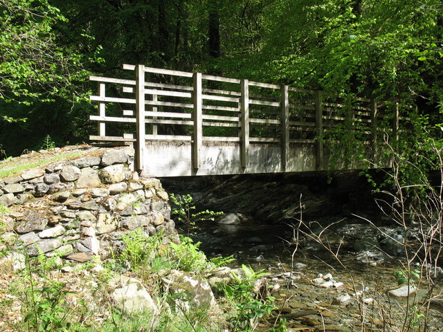
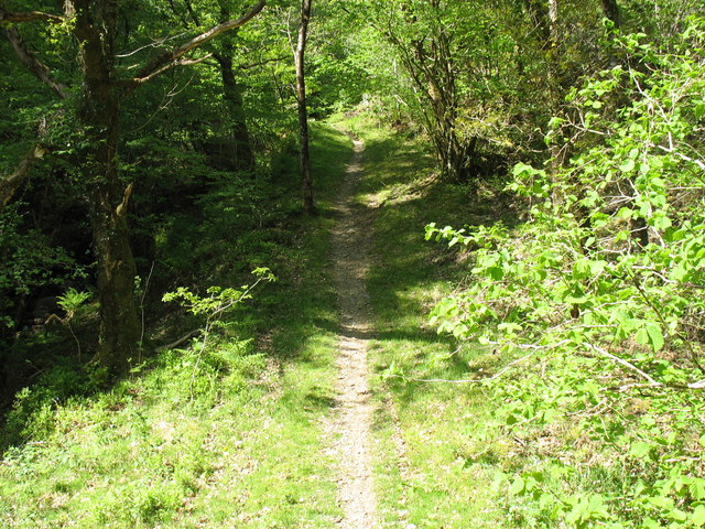
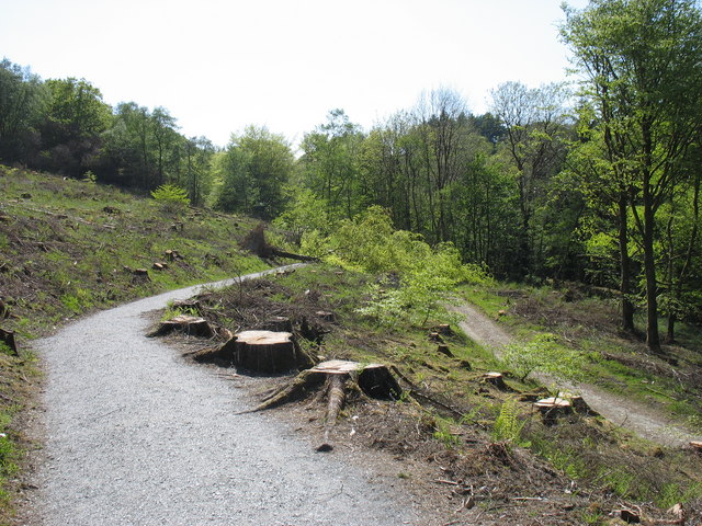
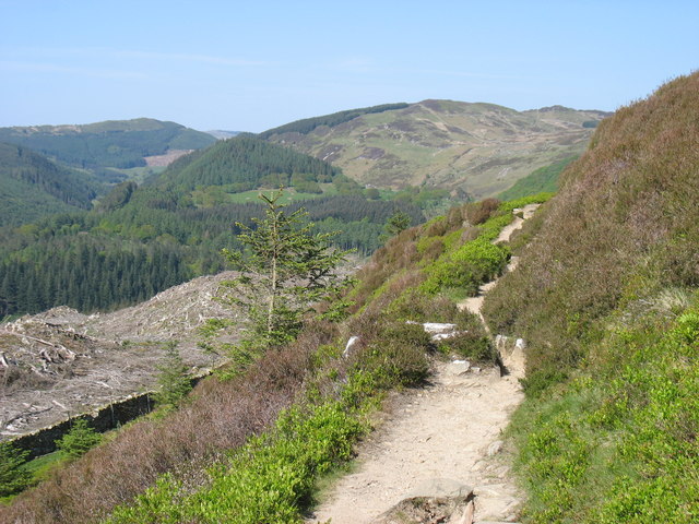
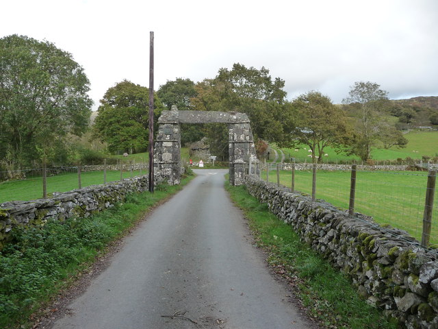
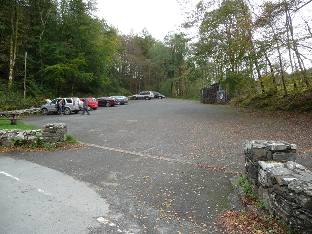
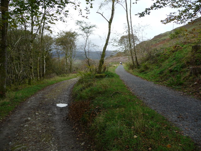
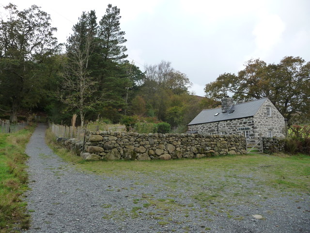
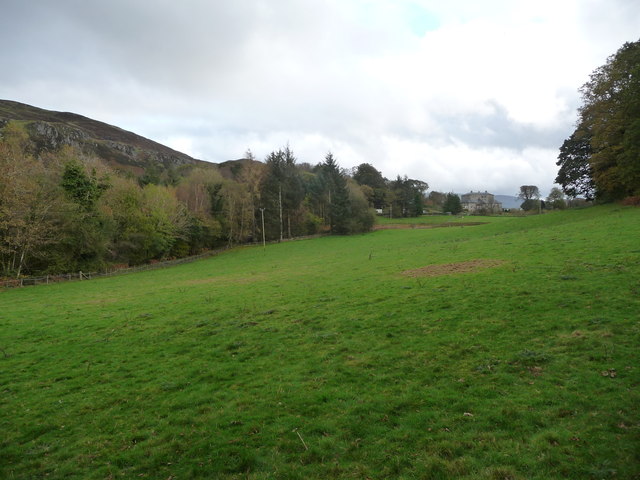
The site is situated in a picturesque rural setting, surrounded by lush green fields and rolling hills. It is accessible via a small footpath that leads visitors through beautiful countryside, adding to the overall charm of the location.
Ffynnon y Capel holds great significance in Welsh folklore and mythology. Legend has it that the well was discovered by Saint Trillo, a 6th-century monk who sought solace and solitude in the area. The well is said to possess healing properties, attracting pilgrims and locals seeking its therapeutic waters.
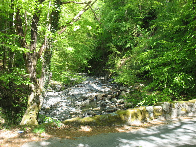
The well itself is a small stone structure, consisting of a basin from which the water flows. It is adorned with ancient inscriptions and religious symbols, further adding to its historical allure. The water is crystal clear and believed to have curative properties, making it a popular destination for those seeking physical and spiritual healing.
Today, Ffynnon y Capel remains an important heritage site, attracting tourists, history enthusiasts, and those interested in Welsh folklore. The well is well-maintained and protected, allowing visitors to experience the magic and tranquility of this ancient site. With its rich history and natural beauty, Ffynnon y Capel serves as a testament to the cultural heritage of Merionethshire and Wales as a whole.
If you have any feedback on the listing, please let us know in the comments section below.
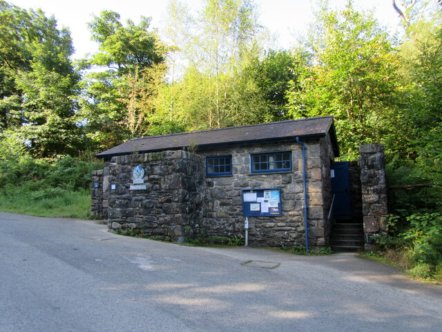
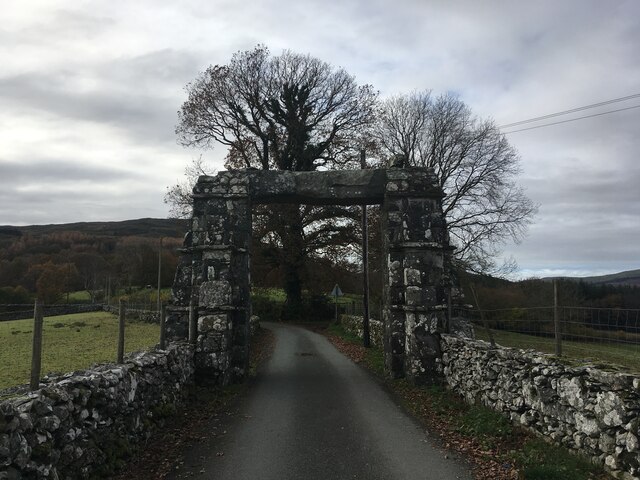
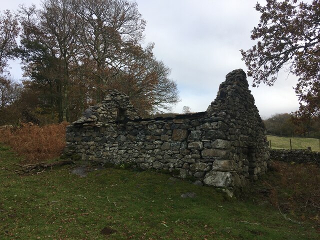
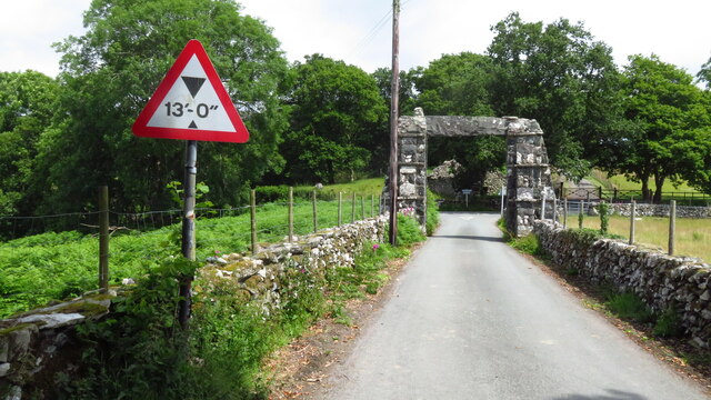
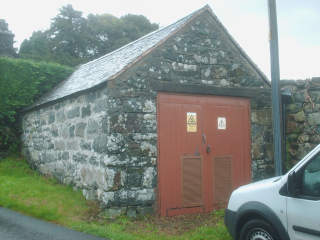
Ffynnon y Capel Images
Images are sourced within 2km of 52.785/-3.847 or Grid Reference SH7522. Thanks to Geograph Open Source API. All images are credited.
Ffynnon y Capel is located at Grid Ref: SH7522 (Lat: 52.785, Lng: -3.847)
Unitary Authority: Gwynedd
Police Authority: North Wales
What 3 Words
///shrugging.beaker.infants. Near Dolgellau, Gwynedd
Nearby Locations
Related Wikis
Llanfachreth
Llanfachreth is a settlement approximately three miles north-east of Dolgellau, Gwynedd, in the community of Brithdir and Llanfachreth within the historic...

Nannau, Wales
Nannau (Welsh for 'the place of many streams'') is a Georgian mansion and estate near the village of Llanfachreth, Gwynedd, North Wales, UK. The mansion...
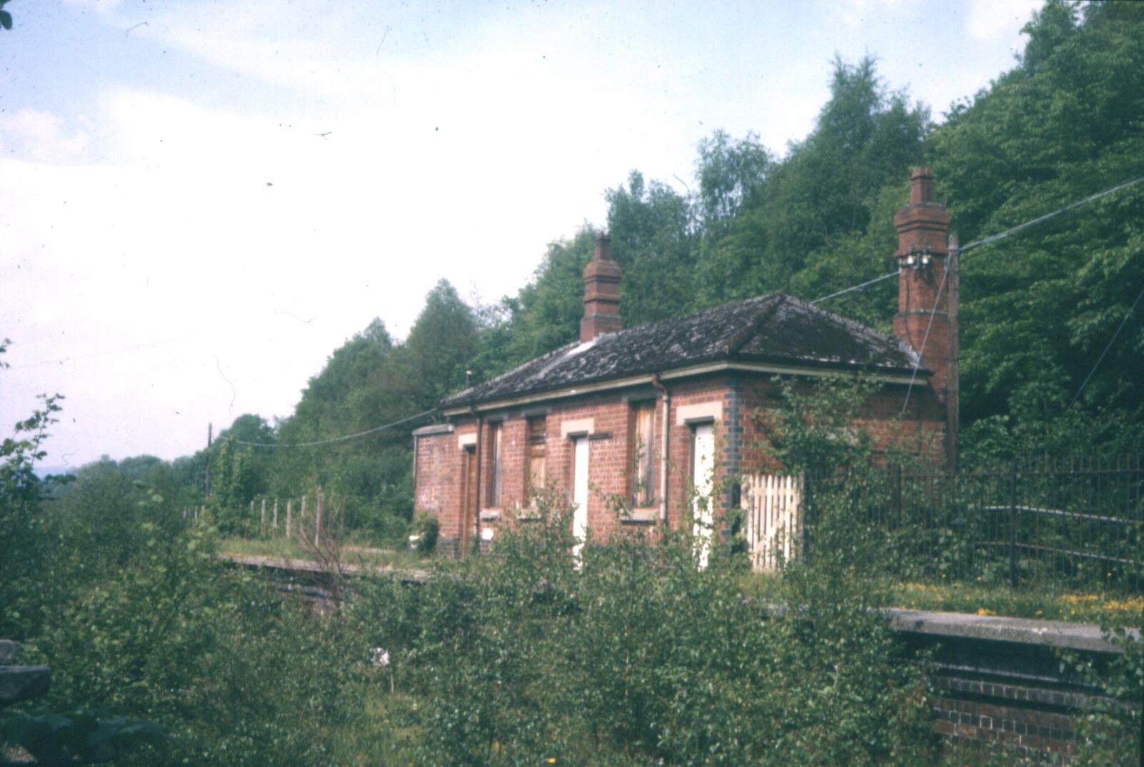
Bont Newydd railway station
Bont Newydd railway station (sometimes shown as Bontnewydd) in Gwynedd, Wales, was a station on the now-closed Ruabon to Barmouth line. Originally a single...

Dolserau Halt railway station
Dolserau Halt (Pron: Dol-seh-rye) in Gwynedd, Wales, was on the Ruabon to Barmouth line. The platform edge was made of timber and was situated on the north...

Meirionnydd
Meirionnydd is a coastal and mountainous region of Wales. It has been a kingdom, a cantref, a district and, as Merionethshire, a county. == Kingdom... ==

Ganllwyd
Ganllwyd is a small village and community in southern Gwynedd, Wales. It lies in the Snowdonia National Park to the north of Dolgellau. A470 passes through...

Dolmelynllyn Estate
Dolmelynllyn Estate is an area of farmland, woodland and parkland near the village of Ganllwyd in southern Gwynedd, Wales. It is owned by the National...

Brithdir and Llanfachreth
Brithdir and Llanfachreth is a community in the county of Gwynedd, Wales, near Dolgellau, and is 93.1 miles (149.8 km) from Cardiff and 178.4 miles (287...
Nearby Amenities
Located within 500m of 52.785,-3.847Have you been to Ffynnon y Capel?
Leave your review of Ffynnon y Capel below (or comments, questions and feedback).