Ffynnon-wen

Heritage Site in Cardiganshire

Wales

Ffynnon-wen

Ordnance Survey Cut Mark This OS cut mark can be found on the churn stand east side of the road. It marks a point 141.877m above mean sea level. <a title="https://www.geograph.org.uk/photo/7412328" href="https://www.geograph.org.uk/photo/7412328">Link</a>
Ordnance Survey Cut Mark Credit: Adrian Dust

The requested URL returned error: 429 Too Many Requests

If you have any feedback on the listing, please let us know in the comments section below.
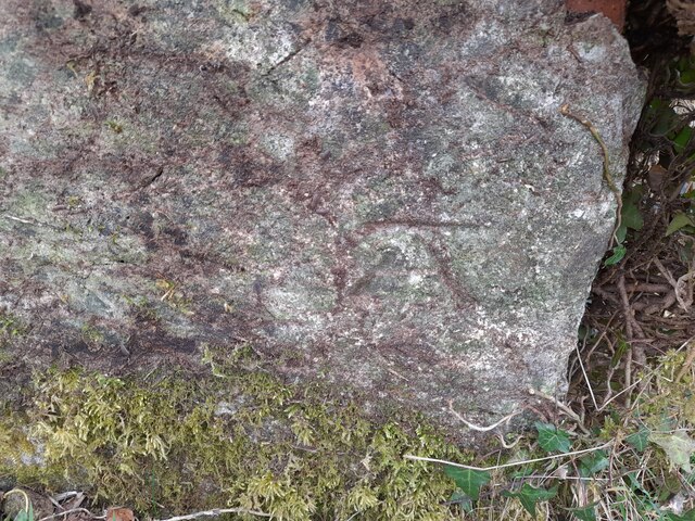
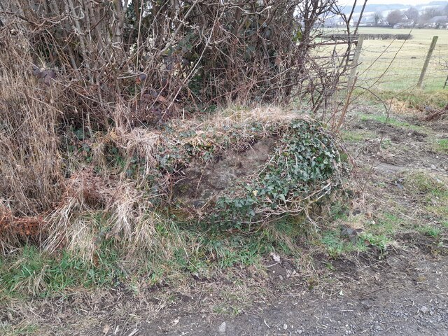
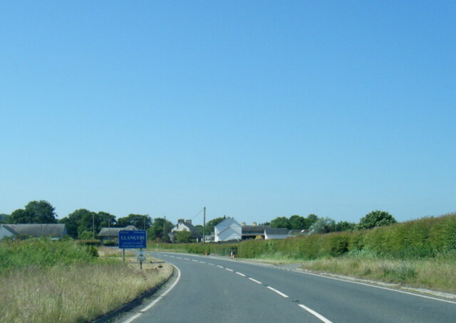
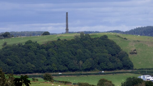
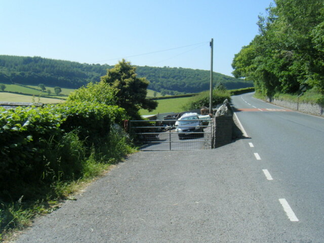
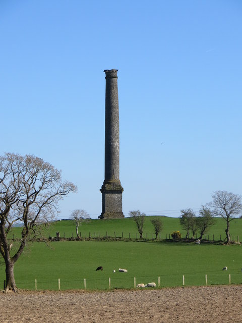
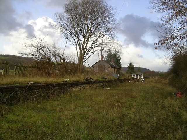
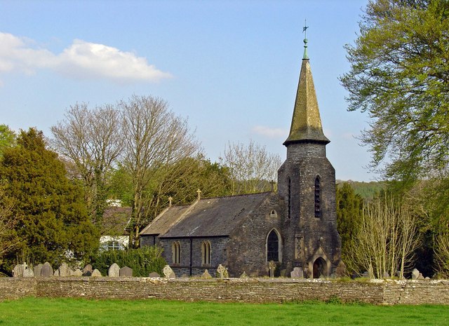
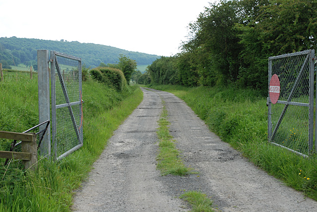
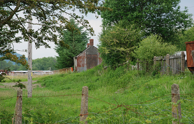
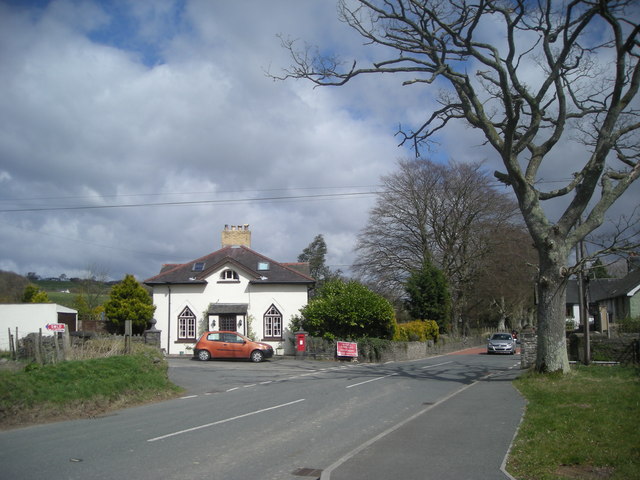
Ffynnon-wen Images

Images are sourced within 2km of 52.152/-4.038 or Grid Reference SN6052. Thanks to Geograph Open Source API. All images are credited.

Ordnance Survey Cut Mark This OS cut mark can be found on the churn stand east side of the road. It marks a point 141.877m above mean sea level. <a title="https://www.geograph.org.uk/photo/7412328" href="https://www.geograph.org.uk/photo/7412328">Link</a>
Ordnance Survey Cut Mark
This OS cut mark can be found on the churn stand east side of the road. It marks a point 141.877m above mean sea level. Link
Churn Stand There is an Ordnance Survey cut mark on the front of the stand. <a title="https://www.geograph.org.uk/photo/7412325" href="https://www.geograph.org.uk/photo/7412325">Link</a>
Churn Stand
There is an Ordnance Survey cut mark on the front of the stand. Link
A485 at Llangybi village boundary
Derry Ormond Tower <span class="nowrap"><a title="https://en.wikipedia.org/wiki/Derry_Ormond_Tower" rel="nofollow ugc noopener" href="https://en.wikipedia.org/wiki/Derry_Ormond_Tower">Link</a><img style="margin-left:2px;" alt="External link" title="External link - shift click to open in new window" src="https://s1.geograph.org.uk/img/external.png" width="10" height="10"/></span>
Derry Ormond Tower
Ordnance Survey Cut Mark This OS cut mark can be found on the gatepost south side of the road. It marks a point 189.311m above mean sea level.
Ordnance Survey Cut Mark
This OS cut mark can be found on the gatepost south side of the road. It marks a point 189.311m above mean sea level.
Ordnance Survey Cut Mark This OS cut mark can be found on the SW angle of St Bledrws' Church. It marks a point 133.707m above mean sea level.
Ordnance Survey Cut Mark
This OS cut mark can be found on the SW angle of St Bledrws' Church. It marks a point 133.707m above mean sea level.
Ordnance Survey Flush Bracket (G3325) This OS Flush Bracket can be found on the roadside barn at Bettws Farm. It marks a point 133.651m above mean sea level.
Ordnance Survey Flush Bracket (G3325)
This OS Flush Bracket can be found on the roadside barn at Bettws Farm. It marks a point 133.651m above mean sea level.
A485 in Betws Bledrws
A485 by Bettws Plantation
Derry Ormond Tower Viewed from the north.
Derry Ormond Tower
Viewed from the north.
Derry  Ormond Tower across the fields
Derry Ormond Tower across the fields
Derry Ormond Halt Derry Ormond Halt served the village of Betws Bledrws immediately to the north and the nearby Derry Ormond Estate, after which it was named.  It closed in 1964 with the cessation of passenger services on this line but is exceptionally well-preserved, retaining its original shelter in G.W.R. 'chocolate and cream' paint scheme. This looks northeast along the old trackbed in the east of the gridsquare
Derry Ormond Halt
Derry Ormond Halt served the village of Betws Bledrws immediately to the north and the nearby Derry Ormond Estate, after which it was named. It closed in 1964 with the cessation of passenger services on this line but is exceptionally well-preserved, retaining its original shelter in G.W.R. 'chocolate and cream' paint scheme. This looks northeast along the old trackbed in the east of the gridsquare
Betws Bledrws The small village of Betws Bledrws lies three miles from Lampeter on either side of the A485. It comprises two parts: Bro Deri, a row of council houses in the north of square <a href="https://www.geograph.org.uk/gridref/SN5951">SN5951</a> and the village proper shown here. 

The white building is New Lodge, built in c.1840 to the design of Charles Cockerell, who also designed the house whose gate it guarded, Derry Ormond Park (demolished in 1953). Cockerell was also responsible for the designs of St. David's College (now the University of Wales, Lampeter) and Derry Ormond Tower.
Betws Bledrws
The small village of Betws Bledrws lies three miles from Lampeter on either side of the A485. It comprises two parts: Bro Deri, a row of council houses in the north of square SN5951 and the village proper shown here. The white building is New Lodge, built in c.1840 to the design of Charles Cockerell, who also designed the house whose gate it guarded, Derry Ormond Park (demolished in 1953). Cockerell was also responsible for the designs of St. David's College (now the University of Wales, Lampeter) and Derry Ormond Tower.
Parish church: Betws Bledrws The 1:50000 and 1:25000 OS maps do not show unambiguously which square this is in.  According to the large-scale OS digital maps, the centre-point of the church is just north of the line (by 15 cm, I estimate) so I have put it in this square.

This is an "estate church" originally supported by the nearby Derry Ormond estate, and is dedicated to the obscure St Bledrws.
Parish church: Betws Bledrws
The 1:50000 and 1:25000 OS maps do not show unambiguously which square this is in. According to the large-scale OS digital maps, the centre-point of the church is just north of the line (by 15 cm, I estimate) so I have put it in this square. This is an "estate church" originally supported by the nearby Derry Ormond estate, and is dedicated to the obscure St Bledrws.
Main gate to the Derry Ormond estate The main entrance to Derry Ormond Park, the seat of the Jones (Latterly Inglis-Jones) family. The house and grounds were built for John Jones in 1824-1827 to the design of by C. R. Cockerell. 

The mansion was sold for £3,000 in 1950, and demolished in 1953 and this gate now serves as a rather grand entrance to the handful of labourer's cottages and converted outbuildings which remain. On the right can be seen what was presumably the walled garden.
Main gate to the Derry Ormond estate
The main entrance to Derry Ormond Park, the seat of the Jones (Latterly Inglis-Jones) family. The house and grounds were built for John Jones in 1824-1827 to the design of by C. R. Cockerell. The mansion was sold for £3,000 in 1950, and demolished in 1953 and this gate now serves as a rather grand entrance to the handful of labourer's cottages and converted outbuildings which remain. On the right can be seen what was presumably the walled garden.
Line of the Manchester and Milford Railway The trackbed south of Derry Ormond station, now obviously a vehicle track to somewhere. Where, or why gates of this nature are required, isn't clear.
Line of the Manchester and Milford Railway
The trackbed south of Derry Ormond station, now obviously a vehicle track to somewhere. Where, or why gates of this nature are required, isn't clear.
Derry Ormond station Originally named Bettws after the then name of the nearby village, Betws Bledrws, it was renamed to Derry Ormond, after the estate of a local influential landowner. Since <a href="https://www.geograph.org.uk/photo/643903">SN5951 : Derry Ormond Halt</a> was taken, it seems to have become a dumping ground for all manner of derelict machinery, a quite common occurrence around here. Perhaps planning rules don't apply.
Derry Ormond station
Originally named Bettws after the then name of the nearby village, Betws Bledrws, it was renamed to Derry Ormond, after the estate of a local influential landowner. Since SN5951 : Derry Ormond Halt was taken, it seems to have become a dumping ground for all manner of derelict machinery, a quite common occurrence around here. Perhaps planning rules don't apply.
Forestry road near Llangybi, Ceredigion
Show me another place!

Ffynnon-wen is located at Grid Ref: SN6052 (Lat: 52.152, Lng: -4.038)

Unitary Authority: Ceredigion

Police Authority: Dyfed Powys

What 3 Words

///cautious.economics.below. Near Llangybi, Ceredigion

Nearby Locations

Ffynnon-wen

Related Wikis

Llangybi railway station (Ceredigion)

Llangybi railway station, previously served the village and rural locale of Llangybi on the Carmarthen Aberystwyth Line in the Welsh county of Ceredigion...

Llangybi, Ceredigion

Llangybi is a village and parish in the south of Ceredigion, Wales. It is located on the A485 between Tregaron to the north and Lampeter to the south,...

Betws Bledrws

Betws Bledrws, is a village between Lampeter and Llangybi, Ceredigion, Wales that was also known as Derry Ormond when under the influence of Derry Ormond...

Betws Bledrws Church

The present church of St Bledrws, in the village of Betws Bledrws (sometimes spelt Bettws Bledrws), near Lampeter, Ceredigion, Wales, is a 19th-century...

Nearby Amenities

Located within 500m of 52.152,-4.038
The data included in this document is from www.openstreetmap.org. The data is made available under ODbL.

Have you been to Ffynnon-wen?

Leave your review of Ffynnon-wen below (or comments, questions and feedback).