Coed Blaen-nos
Wood, Forest in Carmarthenshire
Wales
Coed Blaen-nos

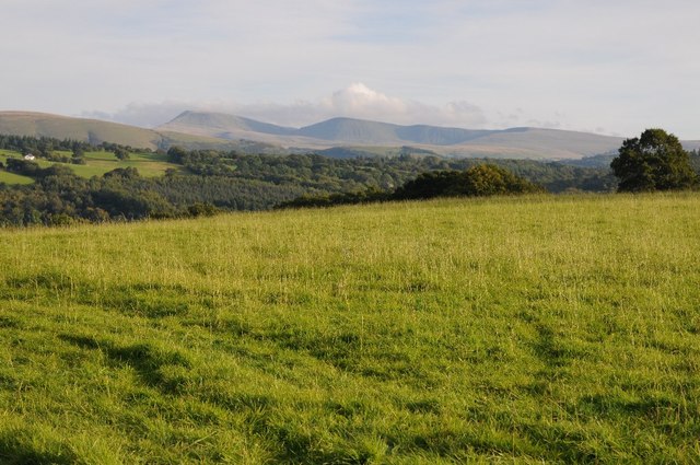
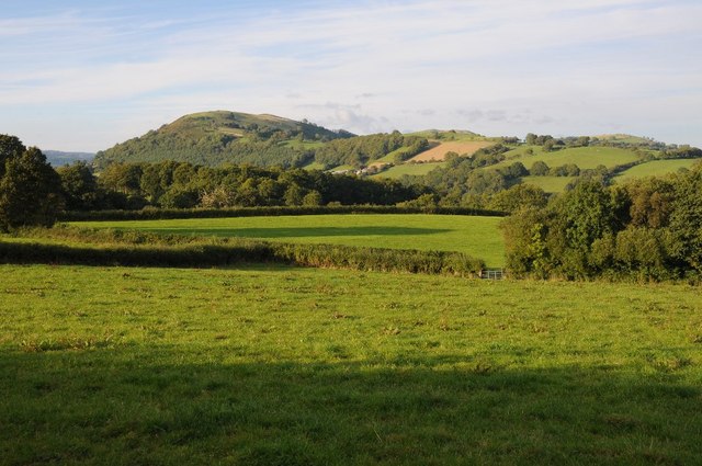
Coed Blaen-nos is a picturesque woodland located in Carmarthenshire, Wales. It is a well-preserved forest that spans an area of approximately 150 hectares. The woodland is renowned for its scenic beauty, with a diverse range of flora and fauna that make it a haven for nature enthusiasts.
The forest is primarily composed of oak and beech trees, which provide a lush green canopy during the summer months. The woodland floor is adorned with an array of wildflowers, including bluebells, primroses, and wood anemones, creating a colorful tapestry of natural beauty. The area is also home to a variety of bird species such as woodpeckers, jays, and buzzards, making it a popular spot for birdwatching.
Coed Blaen-nos offers several walking trails of varying lengths, allowing visitors to explore the forest at their own pace. These trails meander through the woodland, offering breathtaking views of the surrounding countryside and the nearby River Towy. The forest also features picnic spots and benches, providing opportunities for visitors to relax and enjoy the tranquil surroundings.
The woodland is managed by the local authorities to ensure its preservation and conservation. It is a designated Site of Special Scientific Interest (SSSI) due to its ecological importance, particularly for its ancient woodland features. The forest has a rich history, with evidence of human habitation dating back thousands of years, including remnants of Bronze Age settlements.
Coed Blaen-nos is a popular destination for locals and tourists alike, offering a peaceful retreat in the heart of the Carmarthenshire countryside. Whether it's a leisurely walk, birdwatching, or simply enjoying the beauty of nature, this woodland provides a haven for all who visit.
If you have any feedback on the listing, please let us know in the comments section below.
Coed Blaen-nos Images
Images are sourced within 2km of 51.992316/-3.8116516 or Grid Reference SN7534. Thanks to Geograph Open Source API. All images are credited.


Coed Blaen-nos is located at Grid Ref: SN7534 (Lat: 51.992316, Lng: -3.8116516)
Unitary Authority: Carmarthenshire
Police Authority: Dyfed Powys
What 3 Words
///robots.playback.dumpy. Near Llandovery, Carmarthenshire
Nearby Locations
Related Wikis

Llandovery railway station
Llandovery railway station serves the market town of Llandovery, Carmarthenshire, Wales. The station is on the Heart of Wales Line 42 miles (68 km) north...

Llandingat House
Llandingat House is a late Georgian detached town house in the town of Llandovery, Carmarthenshire, Wales. The house was built in the early nineteenth...
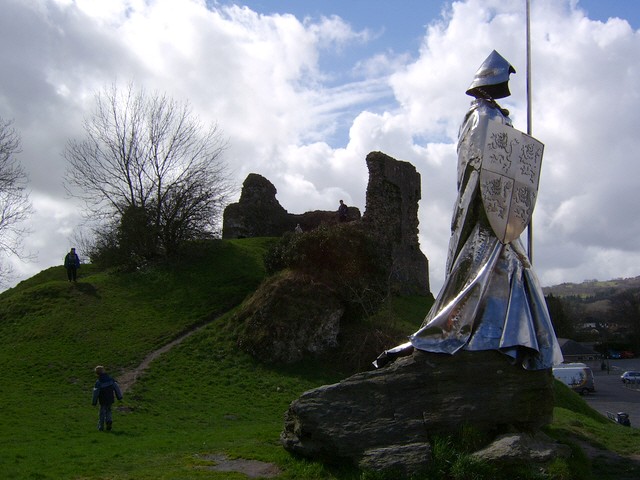
Llandovery
Llandovery (; Welsh: Llanymddyfri [ɬanəmˈðəvrɪ]) is a market town and community in Carmarthenshire, Wales. It lies on the River Tywi and at the junction...
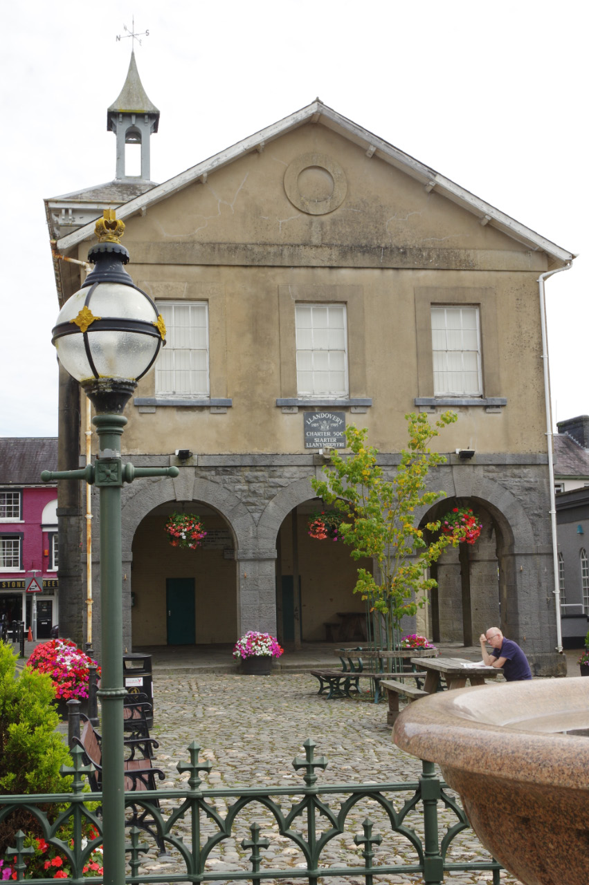
Llandovery Town Hall
Llandovery Town Hall (Welsh: Neuadd y Dref Llanymddyfri) is a municipal building in Market Street, Llandovery in Carmarthenshire, Wales. The structure...
Nearby Amenities
Located within 500m of 51.992316,-3.8116516Have you been to Coed Blaen-nos?
Leave your review of Coed Blaen-nos below (or comments, questions and feedback).