Allt Boeth
Wood, Forest in Cardiganshire
Wales
Allt Boeth
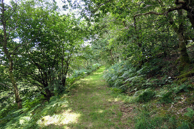
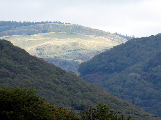
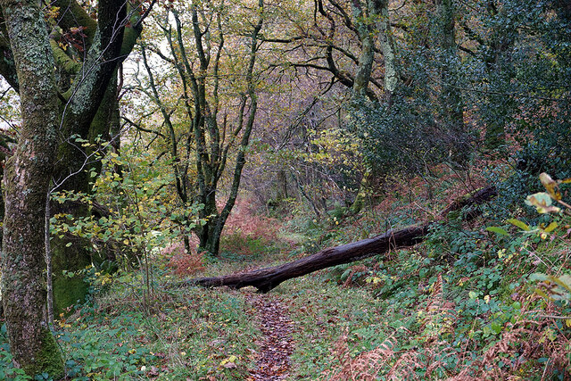
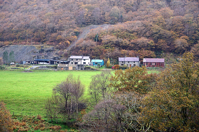
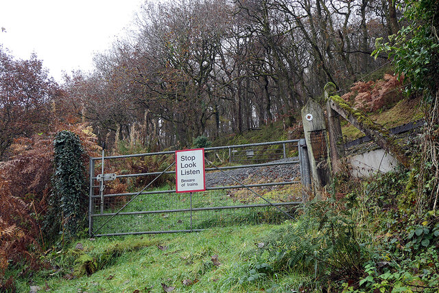
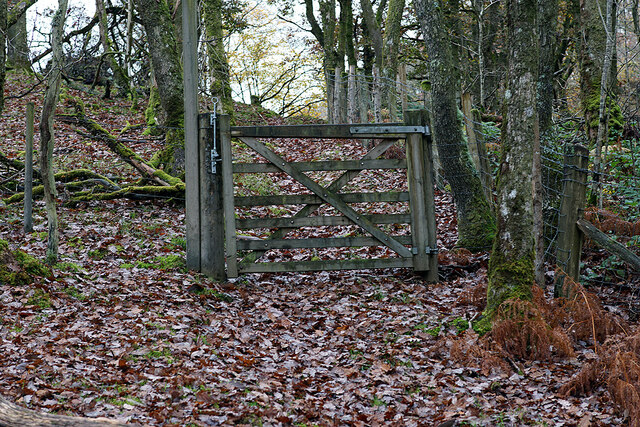
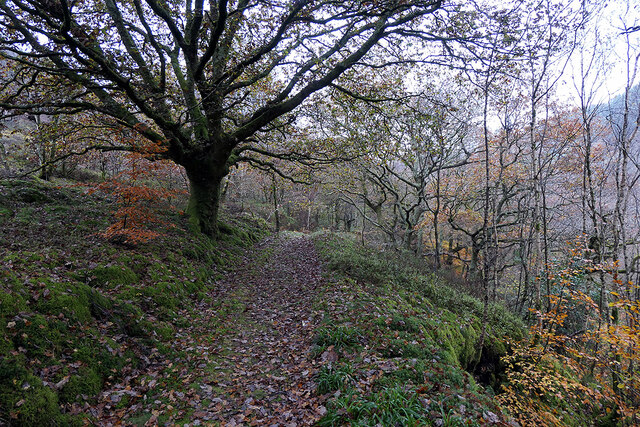
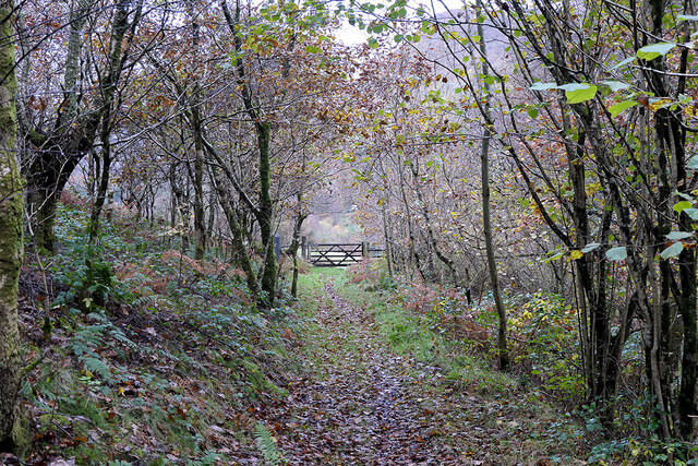
Allt Boeth, located in Cardiganshire, is a picturesque wood or forest that spans a significant area. It is a natural gem nestled in the stunning Welsh countryside. The wood is known for its diverse range of trees, including oak, beech, ash, and hazel, creating a rich and vibrant ecosystem.
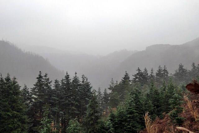
Allt Boeth is renowned for its scenic beauty, attracting nature enthusiasts, hikers, and photographers alike. The forest floor is adorned with an array of wildflowers, adding bursts of color to the landscape. It is a haven for wildlife, with numerous species calling it home. Visitors may encounter squirrels, rabbits, foxes, and a variety of bird species during their explorations.
Tranquility and serenity are defining characteristics of Allt Boeth. The rustling of leaves, the gentle sound of flowing streams, and the occasional bird song create a soothing atmosphere that allows visitors to escape from the hustle and bustle of everyday life. The wood offers a peaceful retreat for those seeking solace in nature.
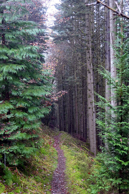
The wood is well-maintained, with designated paths and trails for visitors to explore the area. These paths provide opportunities for leisurely walks or more adventurous hikes, catering to all levels of fitness and interests. Several picnic spots are strategically placed, providing visitors with the chance to relax and immerse themselves in the natural surroundings.
Allt Boeth is not only a place of natural beauty but also a valuable resource for scientific research and conservation efforts. Its unique ecosystem supports a wide range of flora and fauna, contributing to the understanding and preservation of biodiversity.
In summary, Allt Boeth in Cardiganshire is a stunning wood or forest that offers breathtaking scenery, abundant wildlife, and a tranquil atmosphere. It is a place where visitors can connect with nature, explore its wonders, and appreciate the importance of conservation.
If you have any feedback on the listing, please let us know in the comments section below.
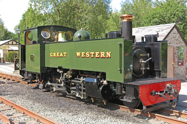
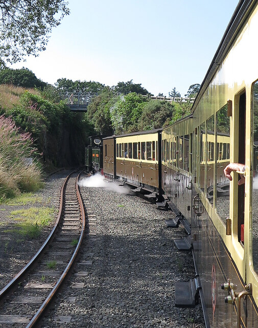
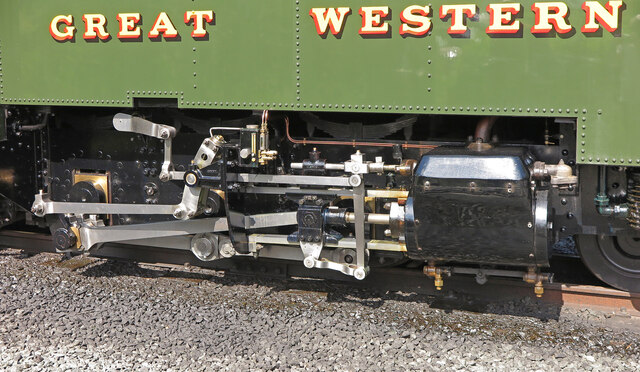
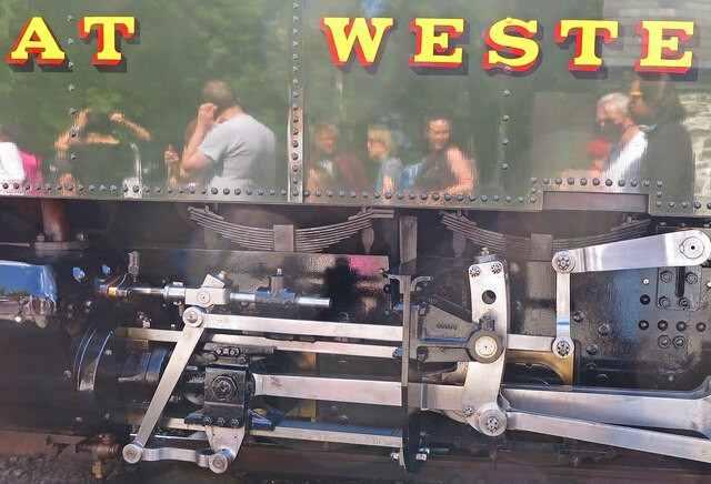
Allt Boeth Images
Images are sourced within 2km of 52.382804/-3.8582651 or Grid Reference SN7377. Thanks to Geograph Open Source API. All images are credited.
Allt Boeth is located at Grid Ref: SN7377 (Lat: 52.382804, Lng: -3.8582651)
Unitary Authority: Ceredigion
Police Authority: Dyfed Powys
What 3 Words
///veto.replace.whisker. Near Cwmystwyth, Ceredigion
Nearby Locations
Related Wikis

Coed Rheidol National Nature Reserve
Coed Rheidol National Nature Reserve forms part of the long ribbon of woodland adjoining the Afon Mynach and Afon Rheidol around the lower slopes of hills...
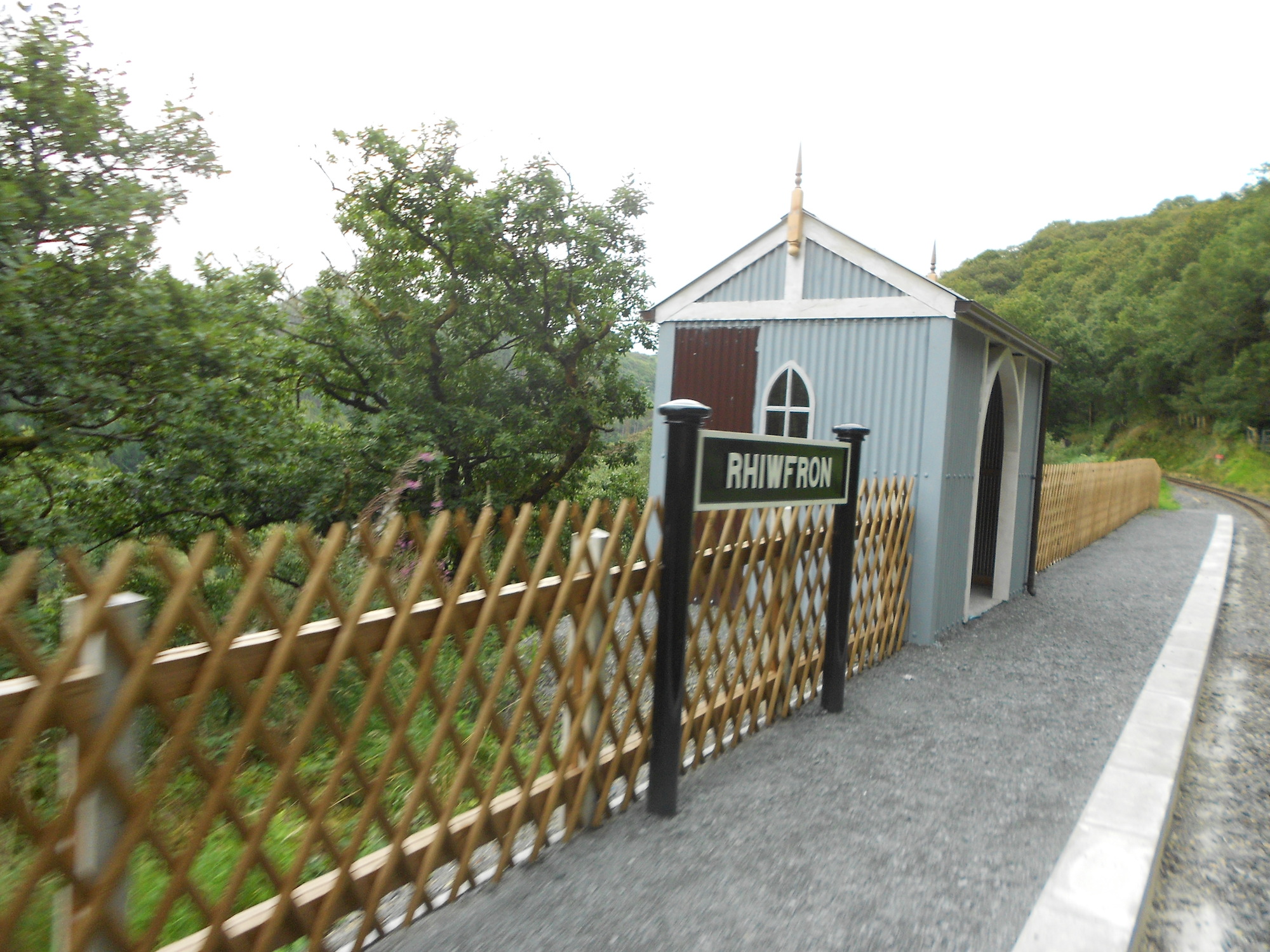
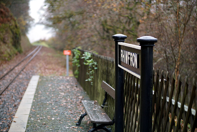
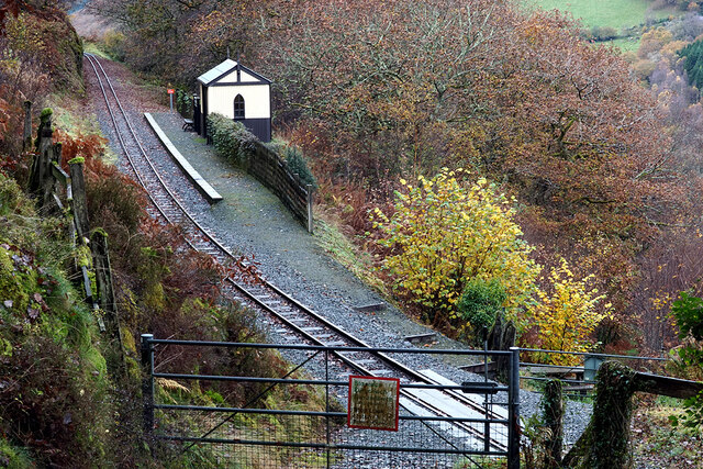
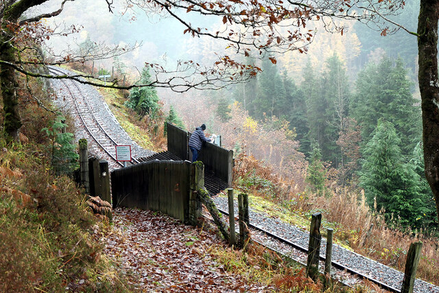
Rhiwfron railway station
Rhiwfron railway station is a railway station serving Rhiwfron in Ceredigion in Mid-Wales. It is an intermediate station on the preserved Vale of Rheidol...

Devil's Bridge railway station
Devil's Bridge railway station is a railway station serving Devil's Bridge in Ceredigion in Mid-Wales. It is the eastern terminus of the preserved Vale...
Afon Mynach
The Afon Mynach (English: River Mynach) is a river in Ceredigion, Wales. Its source is at the meeting of two smaller rivers, the Nant Rhuddnant and the...
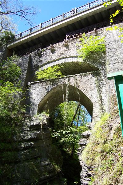
Mynach Falls
Mynach Falls (Welsh: Rhaeadr Mynach) is a waterfall near Aberystwyth in the county of Ceredigion, Wales. It occurs where the River Mynach drops 90 metres...
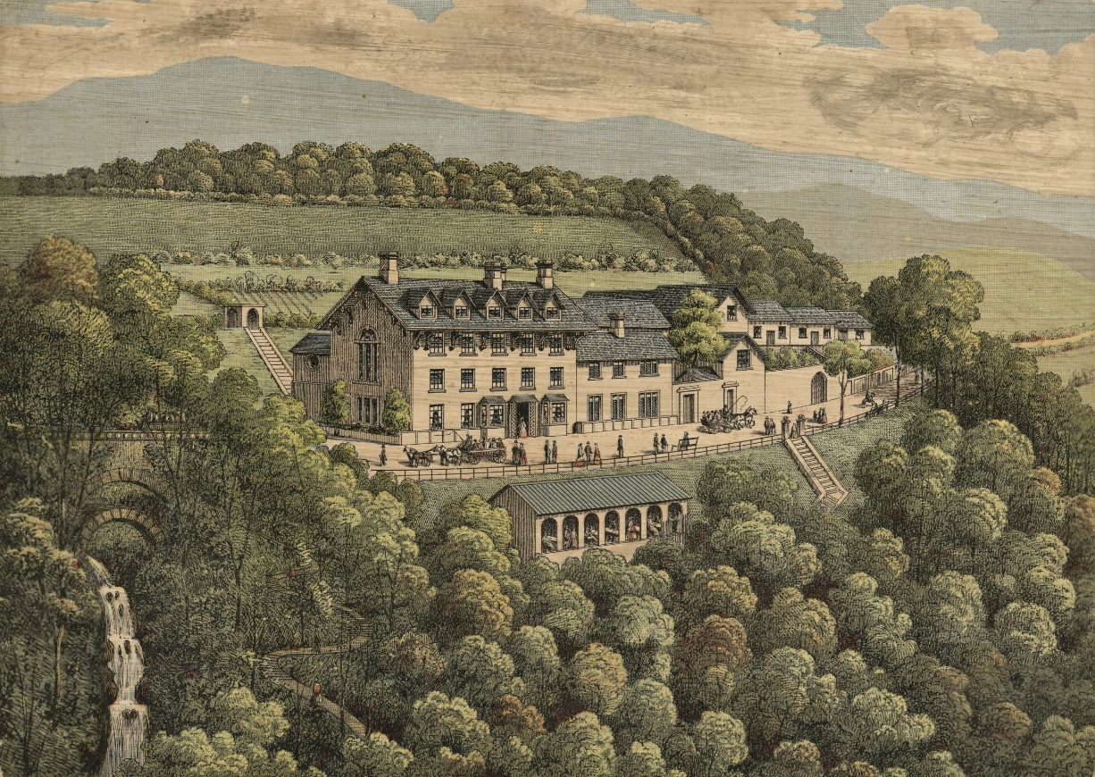
Devil's Bridge, Ceredigion
Devil's Bridge (Welsh: Pontarfynach, lit. "The bridge on the Mynach") is a village and community in Ceredigion, Wales. Above the River Mynach on the edge...
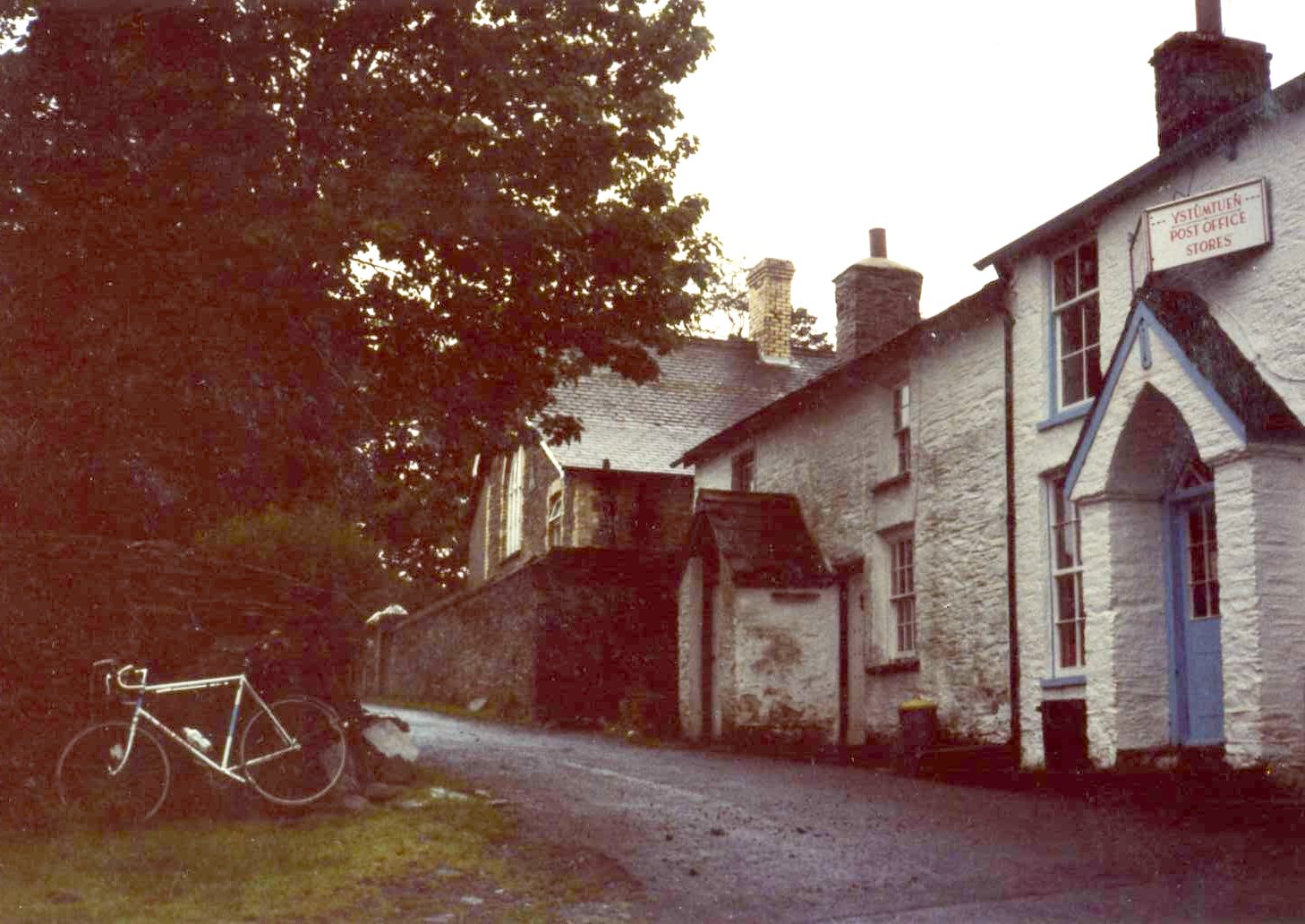
Ystumtuen
Ystumtuen is a small village in northern Ceredigion, Wales. It is situated above the valley of the River Rheidol.It is situated on rocks rich in lead...
Mynydd Bach, Ceredigion
Mynydd Bach, Ceredigion is a hamlet in the community of Pontarfynach, Ceredigion, Wales, which is 68.5 miles (110.3 km) from Cardiff and 170.7 miles (274...
Nearby Amenities
Located within 500m of 52.382804,-3.8582651Have you been to Allt Boeth?
Leave your review of Allt Boeth below (or comments, questions and feedback).