Coed Dolgoed
Wood, Forest in Cardiganshire
Wales
Coed Dolgoed
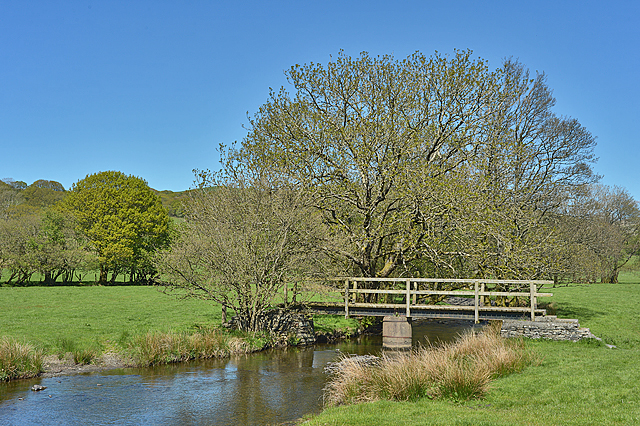
Coed Dolgoed is a picturesque woodland located in Cardiganshire, Wales. Covering an area of approximately 100 acres, it is a beautiful example of the region's natural beauty. The woodland is situated in close proximity to the village of Tregaron and is easily accessible for visitors.
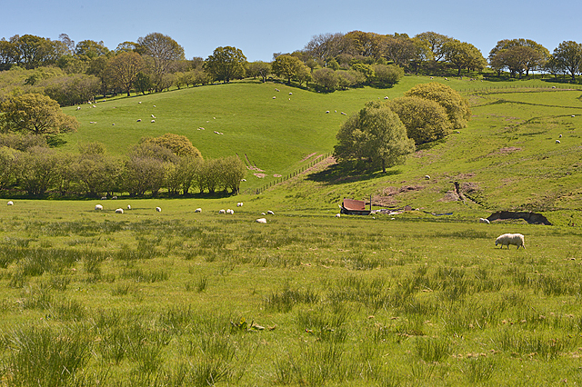
Coed Dolgoed is known for its diverse range of trees, including oak, beech, birch, and pine. The woodland provides a habitat for a wide variety of wildlife, making it a popular destination for nature enthusiasts and birdwatchers. Visitors to the area can expect to spot species such as red kites, buzzards, and woodpeckers.
The woodland offers a network of well-maintained trails, allowing visitors to explore its beauty on foot or by bike. These trails provide stunning views of the surrounding countryside and are suitable for all levels of fitness. Along the way, visitors may come across tranquil streams and small waterfalls, adding to the charm of Coed Dolgoed.
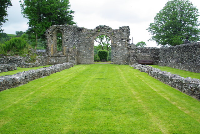
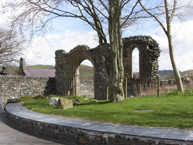
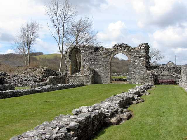
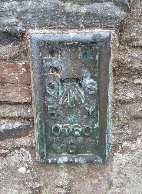
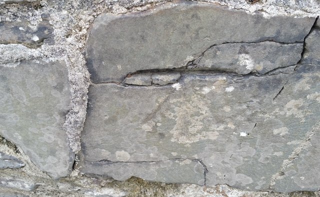
For those interested in history, Coed Dolgoed has a rich past. It is believed that the woodland has been in existence since medieval times, and remnants of ancient stone walls can still be found within its boundaries. This adds an element of intrigue and mystery to the woodland, making it an even more captivating place to explore.
Overall, Coed Dolgoed is a haven of natural beauty, offering visitors the perfect opportunity to immerse themselves in the tranquility of the Welsh countryside. With its diverse flora and fauna, well-maintained trails, and rich history, it is a must-visit destination for nature lovers and those seeking a peaceful escape from the hustle and bustle of everyday life.
If you have any feedback on the listing, please let us know in the comments section below.
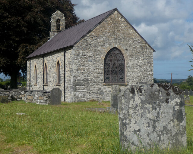
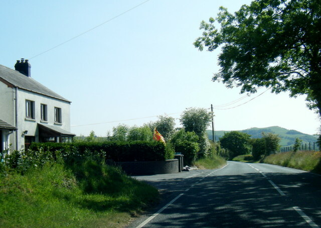
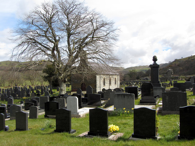
Coed Dolgoed Images
Images are sourced within 2km of 52.27587/-3.8542566 or Grid Reference SN7365. Thanks to Geograph Open Source API. All images are credited.

Coed Dolgoed is located at Grid Ref: SN7365 (Lat: 52.27587, Lng: -3.8542566)
Unitary Authority: Ceredigion
Police Authority: Dyfed Powys
What 3 Words
///awoke.unwound.impact. Near Tregaron, Ceredigion
Nearby Locations
Related Wikis

Pontrhydfendigaid
Pontrhydfendigaid (Welsh pronunciation: [pɔntˌr̥idvɛnˈdiɡai̯d]) is a village in Ceredigion, Wales. It lies on the western flank of the Cambrian Mountains...
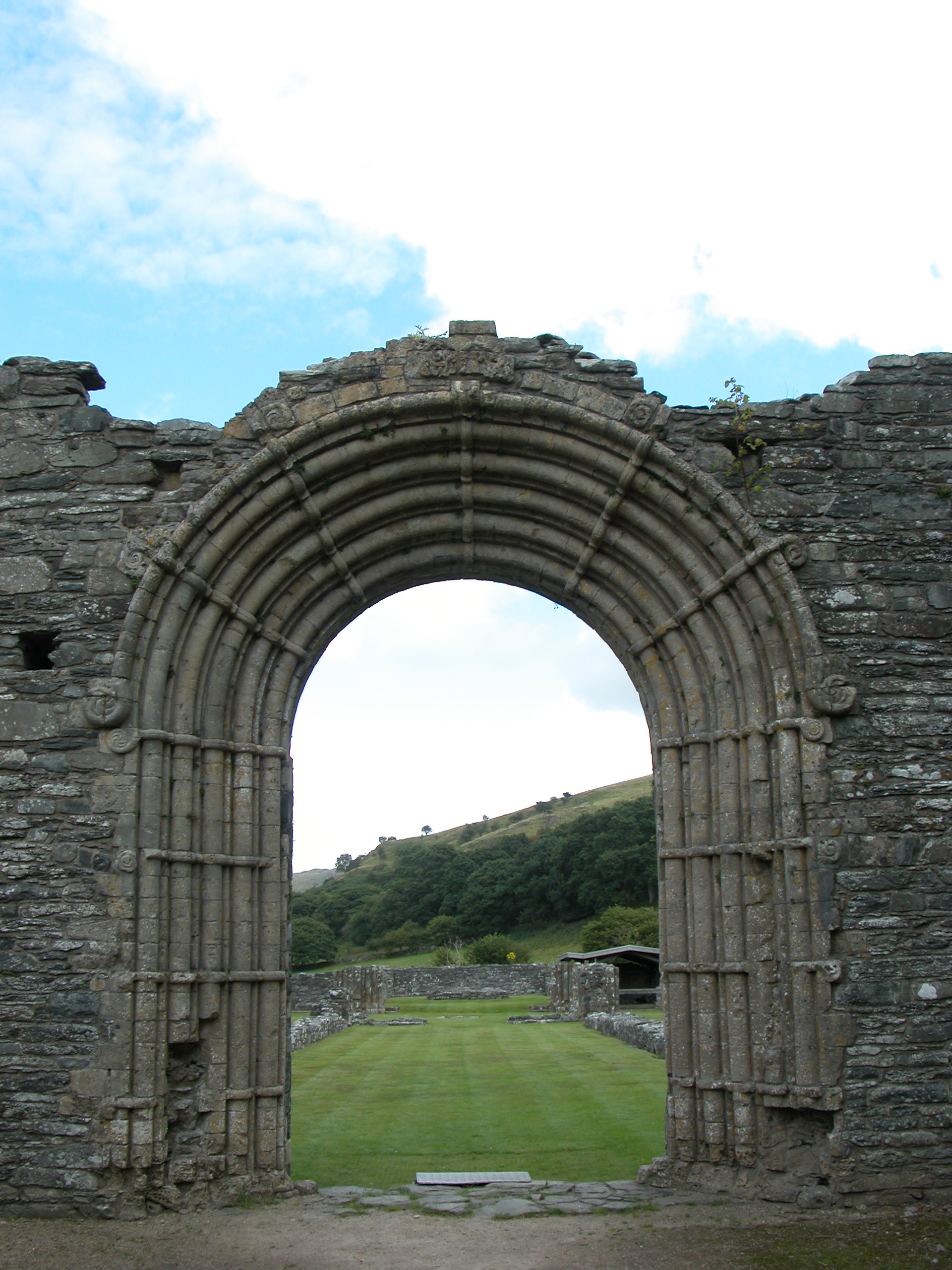
Strata Florida Abbey
Strata Florida Abbey (Welsh: Abaty Ystrad Fflur; ) is a former Cistercian abbey situated just outside Pontrhydfendigaid, near Tregaron in the county of...

Ystrad Fflur
Ystrad Fflur is a hamlet and community in Ceredigion, Wales, south-east of Aberystwyth. The community includes the villages of Pontrhydfendigaid and Ffair...

Ffair Rhos
Ffair Rhos (also known as Ffair-rhos) is a small village in the community of Ystrad Fflur, Ceredigion, Wales, which is 63.2 miles (101.8 km) from Cardiff...
Nearby Amenities
Located within 500m of 52.27587,-3.8542566Have you been to Coed Dolgoed?
Leave your review of Coed Dolgoed below (or comments, questions and feedback).