Devil's Bridge
Settlement in Cardiganshire
Wales
Devil's Bridge

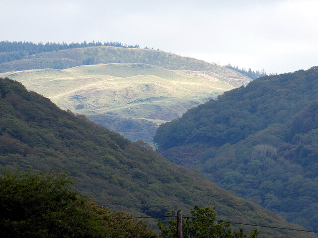
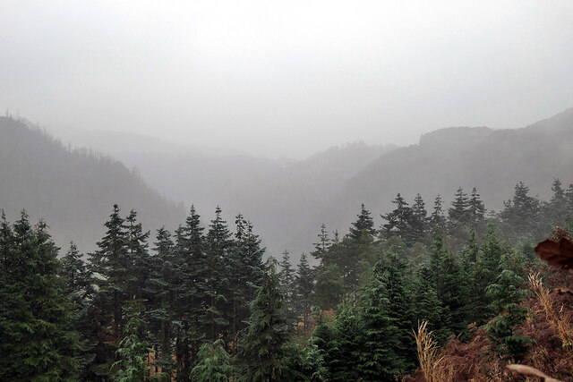
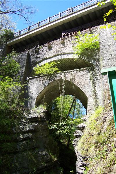
Devil's Bridge is a captivating tourist attraction located in the county of Cardiganshire, Wales. Nestled in the stunning Cambrian Mountains, this natural marvel offers visitors a unique experience, combining breathtaking scenery with a fascinating piece of history. The bridge itself is an ancient stone construction that spans over the Mynach River, creating a dramatic arch that seems to defy gravity.
Believed to have been built in the 11th century, Devil's Bridge has become a legendary landmark due to the numerous tales surrounding its origin. According to local folklore, the bridge was built by the devil himself, who made a pact with an old woman to construct it in exchange for her soul. However, the clever woman managed to outsmart the devil by sending her loyal dog across the bridge instead, causing the devil to vanish in a fit of rage.
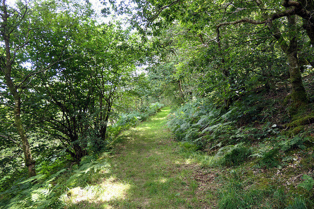
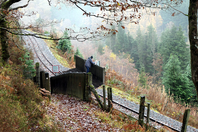
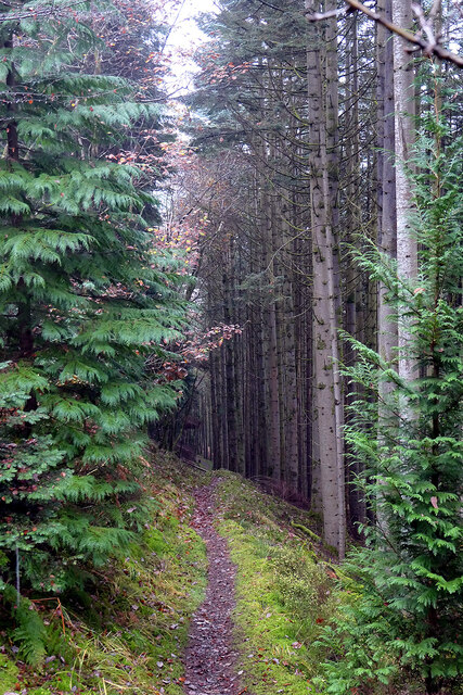
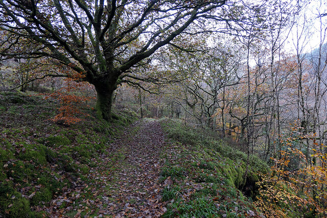
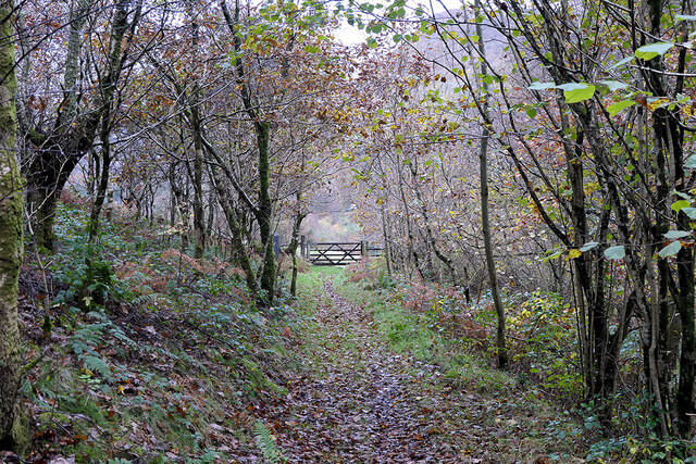
Today, visitors can explore the area and witness the three layers of the bridge that have been added over the centuries, each representing a different era of construction. Surrounding the bridge is a picturesque wooded gorge, offering stunning views of waterfalls cascading down into the river below. A series of walking trails and footpaths allow visitors to fully immerse themselves in the natural beauty of the area.
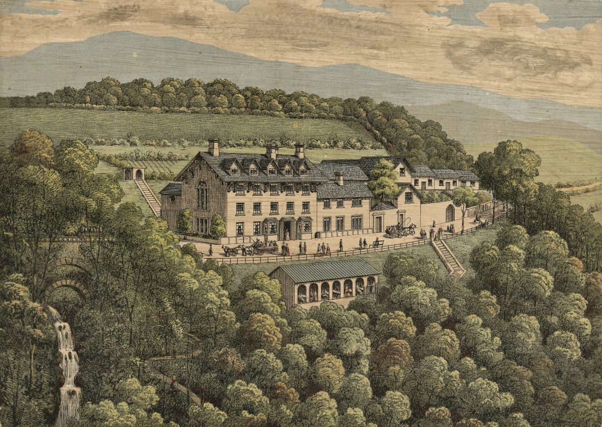
In addition to its natural splendor, Devil's Bridge is also home to a visitor center, where visitors can learn about the history and mythology of the site. The center provides informative displays, guided tours, and a gift shop, ensuring a memorable and educational visit for all.
If you have any feedback on the listing, please let us know in the comments section below.
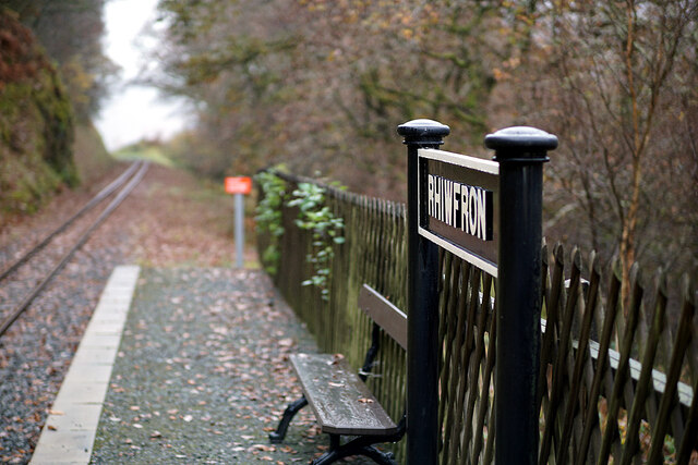
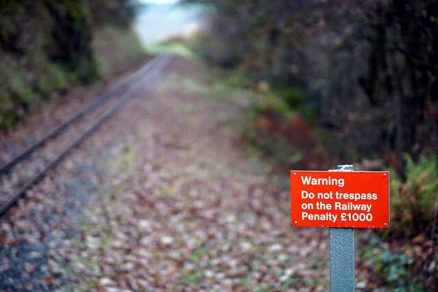
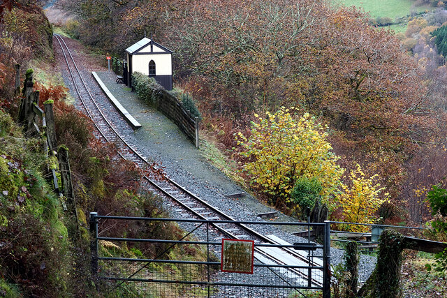
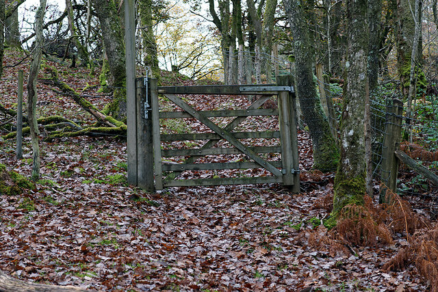
Devil's Bridge Images
Images are sourced within 2km of 52.376904/-3.859522 or Grid Reference SN7377. Thanks to Geograph Open Source API. All images are credited.
Devil's Bridge is located at Grid Ref: SN7377 (Lat: 52.376904, Lng: -3.859522)
Unitary Authority: Ceredigion
Police Authority: Dyfed Powys
Also known as: Pontarfynach
What 3 Words
///workroom.kilts.hikes. Near Cwmystwyth, Ceredigion
Nearby Locations
Related Wikis

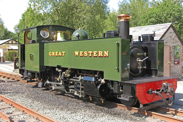
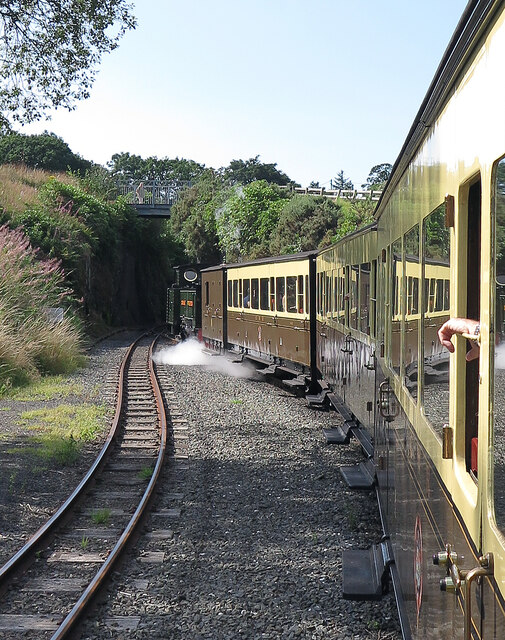
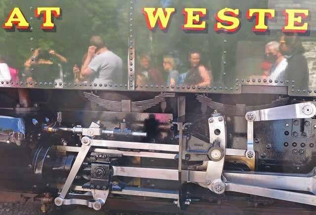
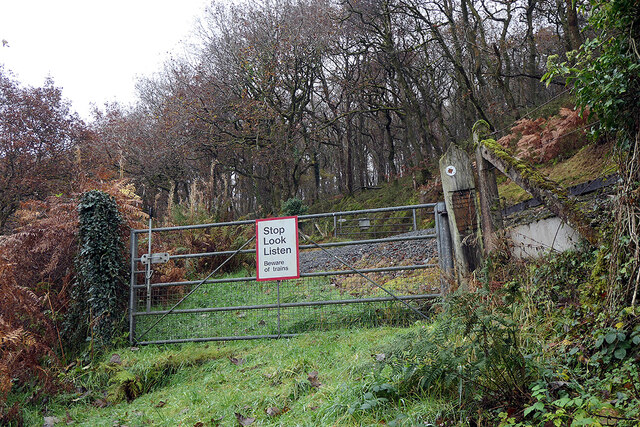
Devil's Bridge railway station
Devil's Bridge railway station is a railway station serving Devil's Bridge in Ceredigion in Mid-Wales. It is the eastern terminus of the preserved Vale...

Afon Mynach
Afon Mynach (Welsh pronunciation: [ˈmənaχ]; also known as the River Mynach) is a river in Ceredigion, Wales. Its source is at the meeting of two smaller...
Mynach Falls
Mynach Falls (Welsh: Rhaeadr Mynach) is a waterfall near Aberystwyth in the county of Ceredigion, Wales. It occurs where the River Mynach drops 90 metres...
Devil's Bridge, Ceredigion
Devil's Bridge (Welsh: Pontarfynach, lit. "The bridge on the Mynach") is a village and community in Ceredigion, Wales. Above the River Mynach on the edge...
Nearby Amenities
Located within 500m of 52.376904,-3.859522Have you been to Devil's Bridge?
Leave your review of Devil's Bridge below (or comments, questions and feedback).