Allt Bryn-llêch

Wood, Forest in Merionethshire

Wales

Allt Bryn-llêch

Craig y Garreg-lwyd Eryri National Park (Snowdonia). View looking south from the Cwt-y-bugail slate quarry on Manod Mawr (661m) to the rocky peak Y Garnedd (552m) (far left) and the disused Foel-gron, Croes-y-ddwy-afon and Drum slate quarries located among the rocky outcrops known as Craig y garreg-lwyd. 
In the far distance are: to the left: Rhobell Fawr (734m) of the Arenig range, and to the right: Rhinog Fawr (716m) of the Rhinog range.  Philbhu image ref: P1100398ag.
Craig y Garreg-lwyd Credit: Phil Brandon Hunter

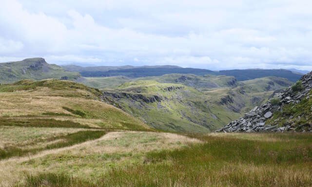
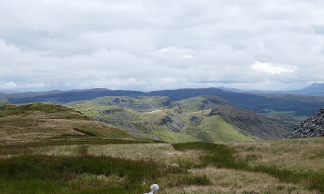
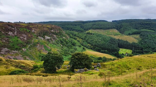
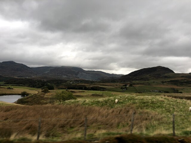
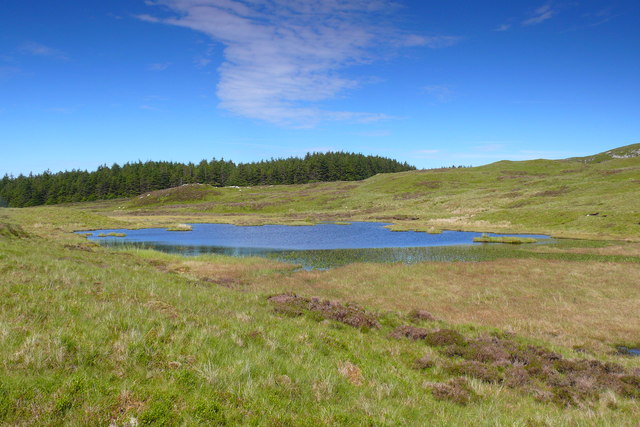
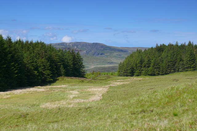
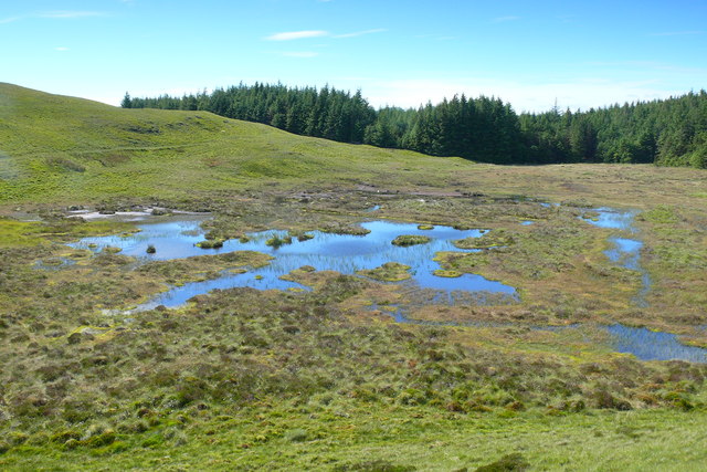
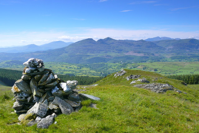
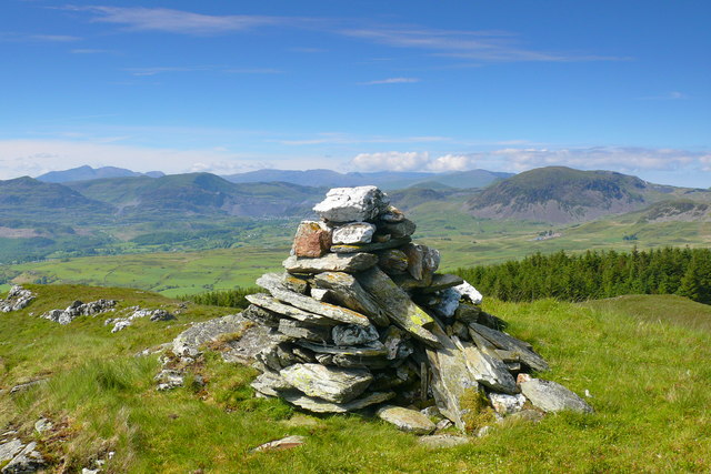
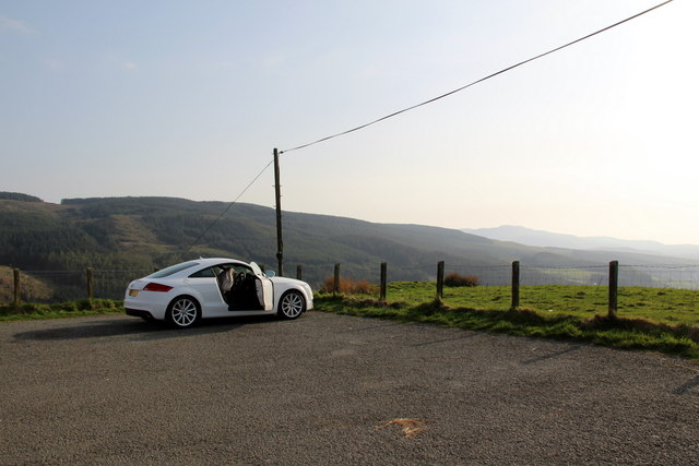
Allt Bryn-llêch is a picturesque woodland located in the county of Merionethshire, Wales. Spanning over a vast area, this enchanting forest is a popular destination for nature lovers and outdoor enthusiasts alike.

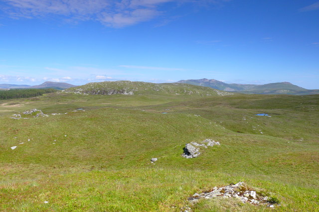
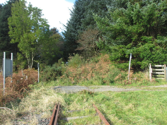
The woodland is characterized by its diverse range of native tree species, including oak, beech, and birch, which create a rich tapestry of colors throughout the seasons. The dense canopy provides a haven for numerous bird species, making it a haven for birdwatchers.

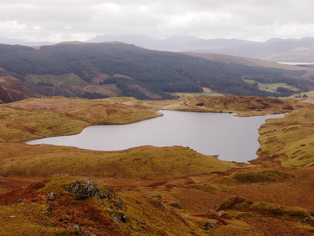
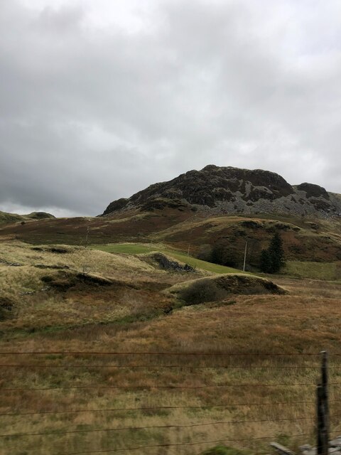
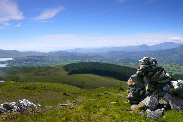
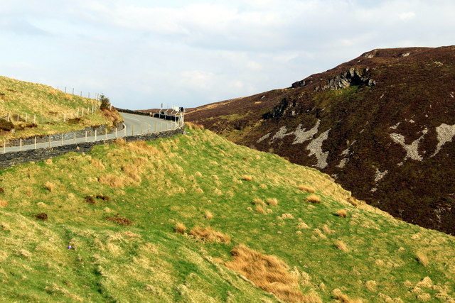
Traversing through Allt Bryn-llêch, visitors can explore a network of well-maintained trails that wind through the ancient trees. These paths offer breathtaking views of the surrounding landscape, including rolling hills and meandering streams. Within the forest, there are also several picnic areas where visitors can relax and enjoy the peaceful ambiance.

The woodland is not only a haven for wildlife but also a site of historical importance. It is believed that Allt Bryn-llêch was once part of the ancient Celtic rainforest that covered much of Wales. The area is steeped in folklore and legend, with tales of mythical creatures and ancient rituals.

Access to Allt Bryn-llêch is easy, with a well-marked car park and designated walking routes. The forest is open to the public year-round, although it is particularly spectacular during the autumn months when the foliage turns vibrant shades of red and gold.

Allt Bryn-llêch offers a tranquil escape from the hustle and bustle of modern life, with its untouched beauty and peaceful atmosphere. Whether for a leisurely stroll, a picnic, or birdwatching, this woodland is a must-visit destination for nature enthusiasts seeking solace in the heart of Wales.

If you have any feedback on the listing, please let us know in the comments section below.

Allt Bryn-llêch Images

Images are sourced within 2km of 52.954002/-3.8977918 or Grid Reference SH7241. Thanks to Geograph Open Source API. All images are credited.

Craig y Garreg-lwyd Eryri National Park (Snowdonia). View looking south from the Cwt-y-bugail slate quarry on Manod Mawr (661m) to the rocky peak Y Garnedd (552m) (far left) and the disused Foel-gron, Croes-y-ddwy-afon and Drum slate quarries located among the rocky outcrops known as Craig y garreg-lwyd. 
In the far distance are: to the left: Rhobell Fawr (734m) of the Arenig range, and to the right: Rhinog Fawr (716m) of the Rhinog range.  Philbhu image ref: P1100398ag.
Craig y Garreg-lwyd
Eryri National Park (Snowdonia). View looking south from the Cwt-y-bugail slate quarry on Manod Mawr (661m) to the rocky peak Y Garnedd (552m) (far left) and the disused Foel-gron, Croes-y-ddwy-afon and Drum slate quarries located among the rocky outcrops known as Craig y garreg-lwyd. In the far distance are: to the left: Rhobell Fawr (734m) of the Arenig range, and to the right: Rhinog Fawr (716m) of the Rhinog range. Philbhu image ref: P1100398ag.
Craig y Garreg-lwyd Eryri National Park (Snowdonia). View looking south from the Cwt-y-bugail slate quarry on Manod Mawr (661m) to the disused Foel-gron, Croes-y-ddwy-afon and Drum slate quarries located among the rocky outcrops known as Craig y Garreg-lwyd. Philbhu image ref: P1100395ag.
Craig y Garreg-lwyd
Eryri National Park (Snowdonia). View looking south from the Cwt-y-bugail slate quarry on Manod Mawr (661m) to the disused Foel-gron, Croes-y-ddwy-afon and Drum slate quarries located among the rocky outcrops known as Craig y Garreg-lwyd. Philbhu image ref: P1100395ag.
Hafod Offieriad
Hafod Offieriad
Llyn Morwynion From Y Garnedd
View from the B4391 Looking north over Cwm Teigl towards Blaenau Ffestiniog. In the distance atcentre are the waste tips of the Gloddfa Ganol slate mine
View from the B4391
Looking north over Cwm Teigl towards Blaenau Ffestiniog. In the distance atcentre are the waste tips of the Gloddfa Ganol slate mine
Craig y Garreg Lwyd Small rocky peak east of Ffestiniog
Craig y Garreg Lwyd
Small rocky peak east of Ffestiniog
Foel Fawr summit Descending via Foel Fawr after a wildcamp on Graig Wen
Foel Fawr summit
Descending via Foel Fawr after a wildcamp on Graig Wen
Llyn di-enw / Nameless lake Llyn di-enw ger Graig Wen / Nameless lake near Graig Wen.
Llyn di-enw / Nameless lake
Llyn di-enw ger Graig Wen / Nameless lake near Graig Wen.
Llyn di-enw / Nameless lake Llyn di-enw  ger Graig Wen / Nameless lake near Graig Wen.
Llyn di-enw / Nameless lake
Llyn di-enw ger Graig Wen / Nameless lake near Graig Wen.
Hafod Mawr Adwy yn y Fforest / Gap in the forest.
Hafod Mawr
Adwy yn y Fforest / Gap in the forest.
Cors neu Llyn / Bog or Lake Llyn sydd efallai'n troi'n gorsdir / A lake that is perhaps turning into a bog.
Cors neu Llyn / Bog or Lake
Llyn sydd efallai'n troi'n gorsdir / A lake that is perhaps turning into a bog.
Foel Fawr Golygfa i'r gorllewin oddi ar Foel Fawr tuag at Benrhyn Llŷn / A view to the west    from Foel Fawr towards the Llyn Peninsula.
Foel Fawr
Golygfa i'r gorllewin oddi ar Foel Fawr tuag at Benrhyn Llŷn / A view to the west from Foel Fawr towards the Llyn Peninsula.
Foel Fawr Y Moelwynion oddi ar Foel Fawr / The Moelwyns from Foel Fawr.
Foel Fawr
Y Moelwynion oddi ar Foel Fawr / The Moelwyns from Foel Fawr.
Foel Fawr Golygfa oddi ar Foel Fawr tuag at Blaenau Ffestiniog / A view from Foel Fawr towards Blaenau Ffestiniog.
Foel Fawr
Golygfa oddi ar Foel Fawr tuag at Blaenau Ffestiniog / A view from Foel Fawr towards Blaenau Ffestiniog.
Foel Fawr Golygfa i'r ddwyrain tuag at Yr Arenig / A view eastwards towards the Arenig.
Foel Fawr
Golygfa i'r ddwyrain tuag at Yr Arenig / A view eastwards towards the Arenig.
Plaque on Viewpoint on B4931 The Rees Jeffreys Road Fund - For your Enjoyment of the View - W.R.J. 1872 - 1954.
Plaque on Viewpoint on B4931
The Rees Jeffreys Road Fund - For your Enjoyment of the View - W.R.J. 1872 - 1954.
Car Park at View Point on B4391 As seen when looking south-west.
Car Park at View Point on B4391
As seen when looking south-west.
B4391 Looking towards Bala from Viewpoint On a good day (which this was) it is possible to see many miles from this viewpoint.
B4391 Looking towards Bala from Viewpoint
On a good day (which this was) it is possible to see many miles from this viewpoint.
Show me another place!

Allt Bryn-llêch is located at Grid Ref: SH7241 (Lat: 52.954002, Lng: -3.8977918)

Unitary Authority: Gwynedd

Police Authority: North Wales

What 3 Words

///slam.ages.shunning. Near Ffestiniog, Gwynedd

Related Wikis

Festiniog railway station

Festiniog railway station served the village of Llan Ffestiniog, Gwynedd, Wales. This station was one of many 19th century institutions in Wales to be...

Teigl Halt railway station

Teigl Halt was a solely passenger railway station which served the rural area of Cwm Teigl, south of Blaenau Ffestiniog, Wales. == Origins == The line...

Llan Ffestiniog

Llan Ffestiniog, also known as Ffestiniog or simply Llan, is a village in Gwynedd (formerly in the county of Merionethshire), Wales, lying south of Blaenau...

Ffestiniog transmitting station

The Ffestiniog transmitting station is a broadcasting and telecommunications facility located on the slopes of Mynydd Maentwrog about 3 kilometres (1.9...

Ceunant Cynfal National Nature Reserve

Ceunant Cynfal National Nature Reserve is a river gorge which forms part of a wet wooded ravine of the Afon Cynfal near Ffestiniog in Gwynedd, Wales. The...

Manod Mawr

Manod Mawr is a mountain in North Wales and forms part of the Moelwynion. Although known as a mountain in the eastern Moelwyns, it and its sister peaks...

Manod Mawr North Top

Manod Mawr North Top is a mountain in North Wales and forms part of the Moelwynion. It lies directly to the north of its parent Manod Mawr, separated by...
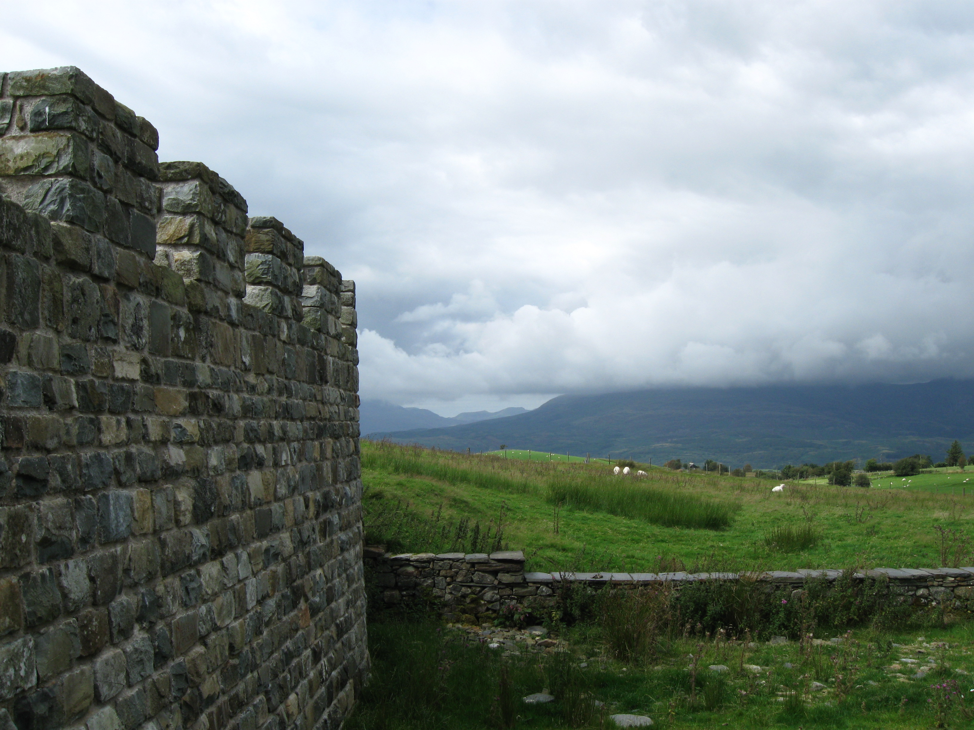
Tomen y Mur

Tomen y Mur is a First Century AD Roman fort in Snowdonia, Gwynedd, Wales. The fortification, which lies on the slope of an isolated spur northeast of...

Nearby Amenities

Located within 500m of 52.954002,-3.8977918
Power: tower
Lat/Long: 52.9527013/-3.8910505
Power: tower
Lat/Long: 52.9531463/-3.8941402
Power: tower
Lat/Long: 52.9534874/-3.8966103
Power: tower
Lat/Long: 52.9531413/-3.8990435
Power: tower
Lat/Long: 52.9527903/-3.901608
Power: tower
Lat/Long: 52.9524096/-3.9041684
The data included in this document is from www.openstreetmap.org. The data is made available under ODbL.

Have you been to Allt Bryn-llêch?

Leave your review of Allt Bryn-llêch below (or comments, questions and feedback).