Cwm Cynfal
Valley in Merionethshire
Wales
Cwm Cynfal
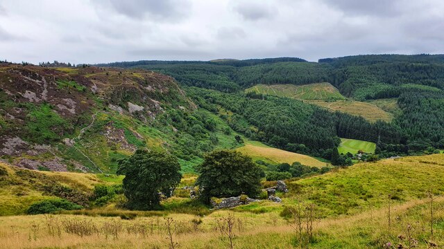
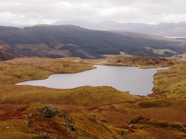
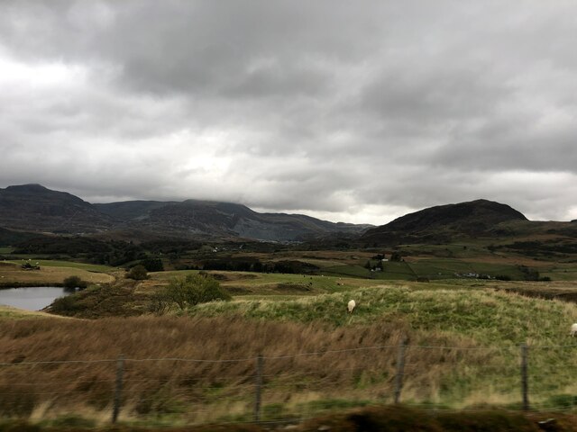
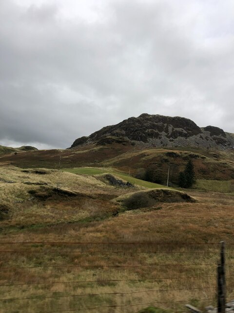
Cwm Cynfal is a picturesque valley located in the county of Merionethshire, Wales. Situated in the heart of Snowdonia National Park, the valley is renowned for its breathtaking natural beauty and tranquil surroundings.
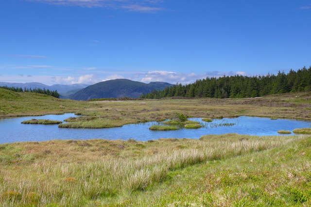
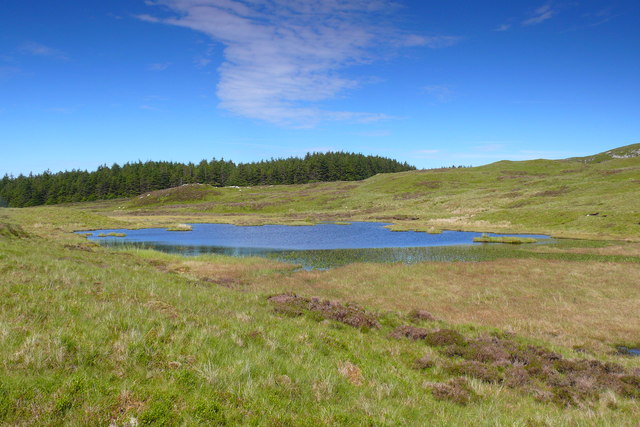
The valley is formed by the Cynfal River, which cascades down a series of stunning waterfalls, creating a mesmerizing spectacle for visitors. The river is known for its crystal-clear waters and is a popular spot for fishing and kayaking enthusiasts.
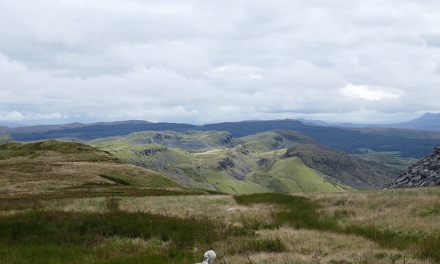
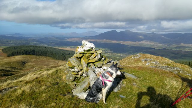
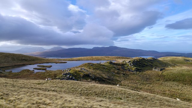
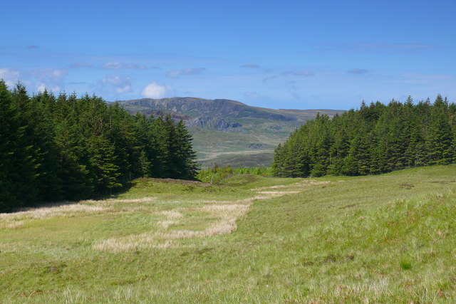
Surrounded by lush greenery and towering mountains, Cwm Cynfal offers a paradise for hikers and nature lovers. The valley is home to a diverse range of flora and fauna, including rare species such as otters and peregrine falcons. The surrounding woodlands are filled with ancient oak trees, adding to the area's enchanting atmosphere.
There are several walking trails in the valley, catering to all levels of fitness and experience. The paths meander through meadows, woodlands, and along the river, providing stunning panoramic views of the surrounding peaks and valleys.
Cwm Cynfal is also steeped in history and culture. The remains of a 13th-century Cistercian monastery, Cwm Cynfal Abbey, can be found in the valley, adding an element of intrigue and mystery to the area.
Overall, Cwm Cynfal is a hidden gem in the heart of Snowdonia National Park. Its stunning natural landscapes, diverse wildlife, and rich history make it a must-visit destination for nature enthusiasts and those seeking a peaceful retreat.
If you have any feedback on the listing, please let us know in the comments section below.
Cwm Cynfal Images
Images are sourced within 2km of 52.952426/-3.8990625 or Grid Reference SH7241. Thanks to Geograph Open Source API. All images are credited.


Cwm Cynfal is located at Grid Ref: SH7241 (Lat: 52.952426, Lng: -3.8990625)
Unitary Authority: Gwynedd
Police Authority: North Wales
What 3 Words
///newspaper.alpha.polka. Near Ffestiniog, Gwynedd
Nearby Locations
Related Wikis
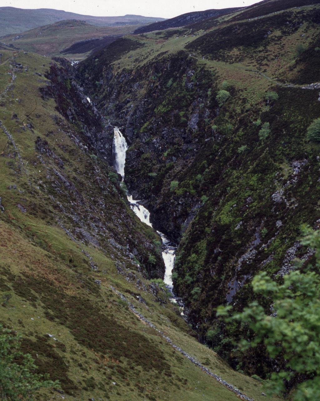
Rhaeadr y Cwm
The Rhaeadr y Cwm is a waterfall on the Afon Cynfal river in Gwynedd, North Wales. The falls are located near the B4391 road, some 3 miles (5 km) east...

Festiniog railway station
Festiniog railway station served the village of Llan Ffestiniog, Gwynedd, Wales. This station was one of many 19th century institutions in Wales to be...
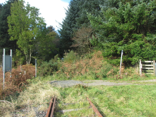
Teigl Halt railway station
Teigl Halt was a solely passenger railway station which served the rural area of Cwm Teigl, south of Blaenau Ffestiniog, Wales. == Origins == The line...

Llan Ffestiniog
Llan Ffestiniog, also known as Ffestiniog or simply Llan, is a village in Gwynedd (formerly in the county of Merionethshire), Wales, lying south of Blaenau...
Nearby Amenities
Located within 500m of 52.952426,-3.8990625Have you been to Cwm Cynfal?
Leave your review of Cwm Cynfal below (or comments, questions and feedback).