Sarn Helen
Heritage Site in Merionethshire
Wales
Sarn Helen
Sarn Helen, located in Merionethshire, Wales, is a historic heritage site that holds significant cultural and historical value. The site is an ancient Roman road that dates back to the 1st century AD and stretches for approximately 250 miles across Wales, from Aberconwy in the north to Carmarthen in the south.
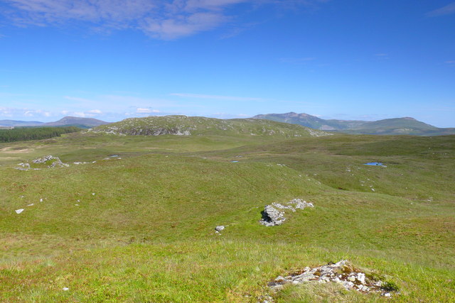
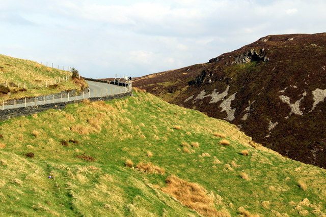
Originally constructed to facilitate the movement of Roman troops and supplies, Sarn Helen played a crucial role in connecting various Roman settlements and forts throughout Wales. The road traverses diverse landscapes, including mountains, valleys, and rivers, showcasing the exceptional engineering skills of the Romans.
Today, Sarn Helen remains a popular attraction for both history enthusiasts and outdoor adventurers. The route offers fantastic opportunities for hiking, walking, and cycling, allowing visitors to immerse themselves in the ancient Roman history while enjoying the natural beauty of the Welsh countryside.
Along the road, visitors can still find remnants of the Roman civilization, such as milestones, fortifications, and sections of well-preserved pavement. These archaeological features provide valuable insights into the Roman occupation of Wales and the daily life of Roman soldiers and civilians.
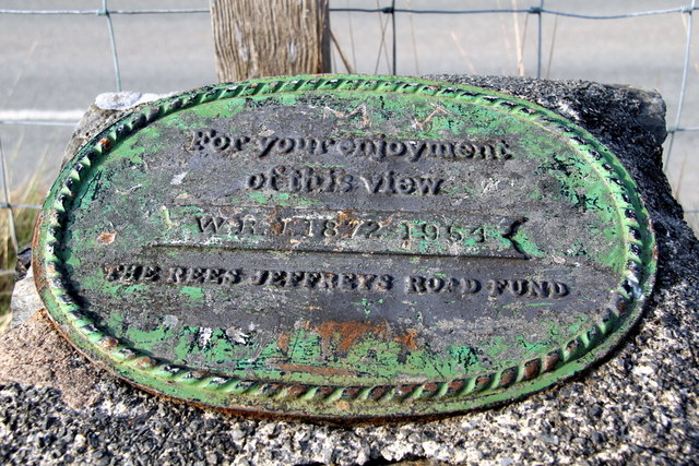
To ensure the preservation of this important heritage site, efforts have been made to protect and maintain Sarn Helen. Conservation projects, signage, and interpretation boards have been installed to educate visitors about the historical significance of the road and its surrounding areas.
Overall, Sarn Helen in Merionethshire stands as a testament to the enduring legacy of the Roman Empire in Wales and offers a fascinating glimpse into the past for those who visit.
If you have any feedback on the listing, please let us know in the comments section below.
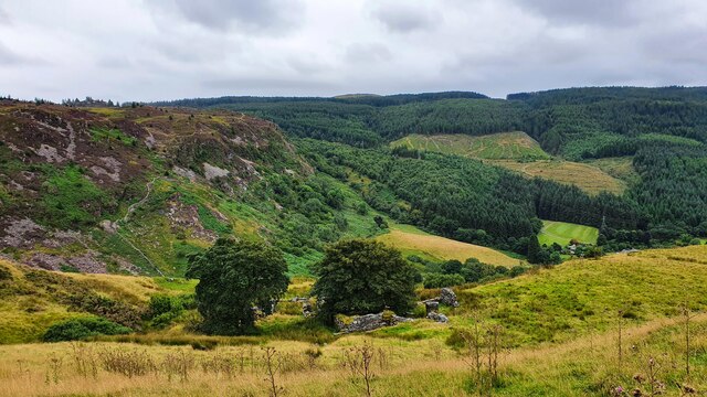
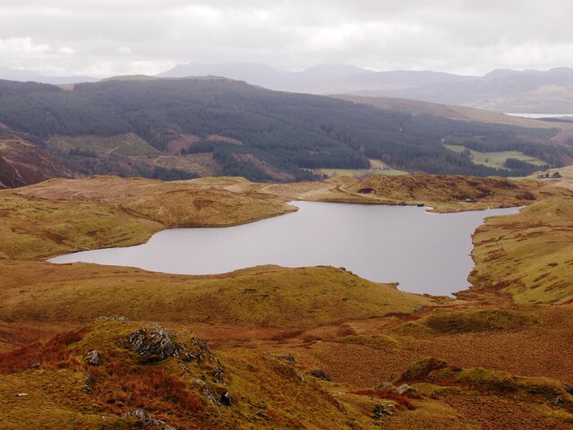
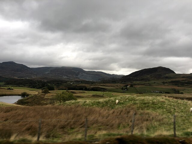
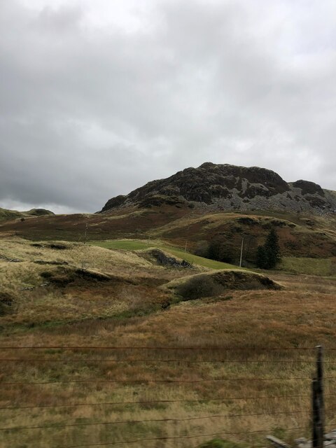
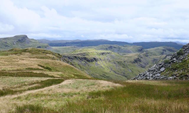
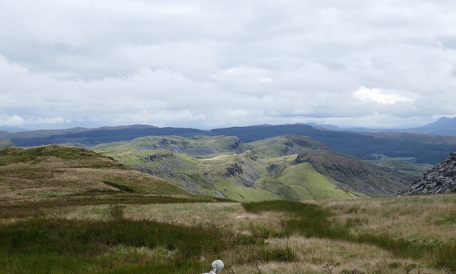
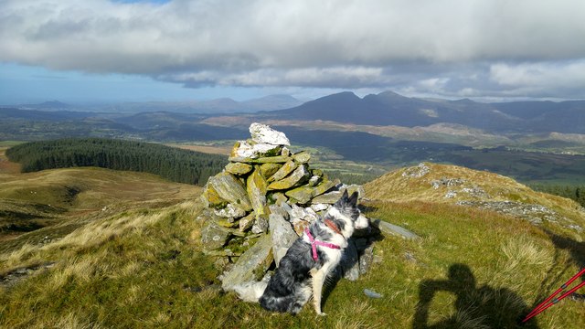
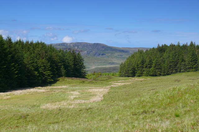
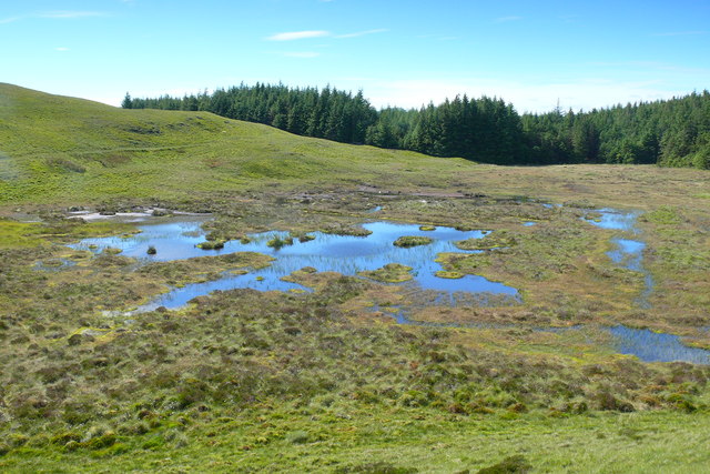
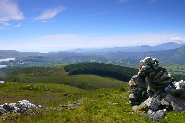
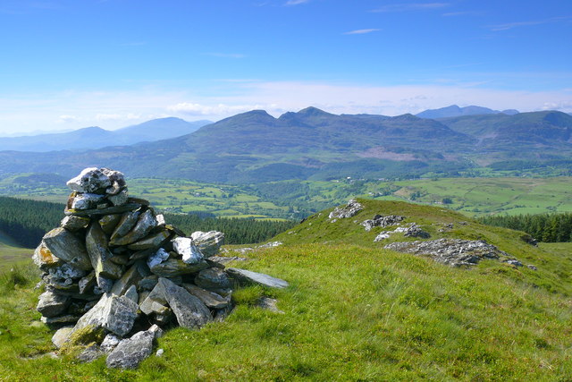
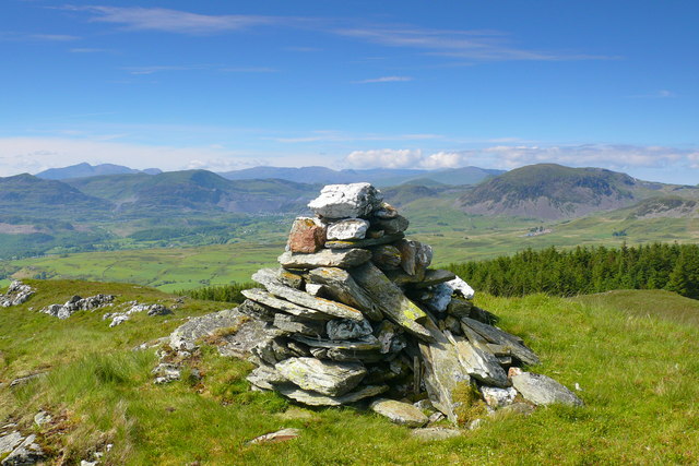
Sarn Helen Images
Images are sourced within 2km of 52.955/-3.898 or Grid Reference SH7241. Thanks to Geograph Open Source API. All images are credited.


Sarn Helen is located at Grid Ref: SH7241 (Lat: 52.955, Lng: -3.898)
Unitary Authority: Gwynedd
Police Authority: North Wales
What 3 Words
///belly.salary.galloped. Near Ffestiniog, Gwynedd
Nearby Locations
Related Wikis
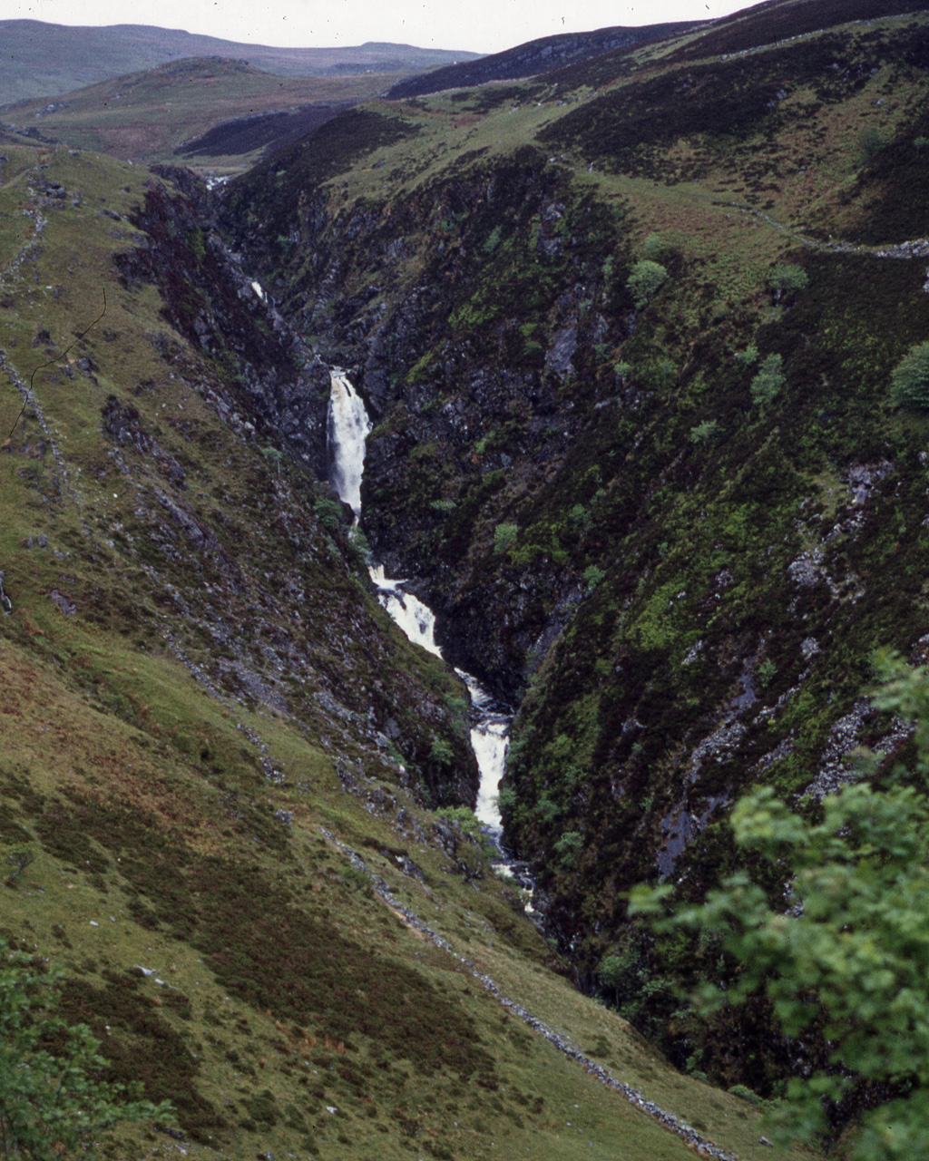
Rhaeadr y Cwm
The Rhaeadr y Cwm is a waterfall on the Afon Cynfal river in Gwynedd, North Wales. The falls are located near the B4391 road, some 3 miles (5 km) east...

Festiniog railway station
Festiniog railway station served the village of Llan Ffestiniog, Gwynedd, Wales. This station was one of many 19th century institutions in Wales to be...
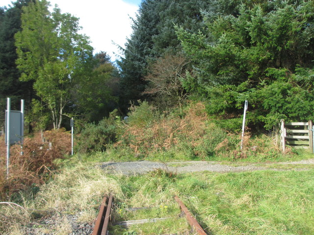
Teigl Halt railway station
Teigl Halt was a solely passenger railway station which served the rural area of Cwm Teigl, south of Blaenau Ffestiniog, Wales. == Origins == The line...

Llan Ffestiniog
Llan Ffestiniog, also known as Ffestiniog or simply Llan, is a village in Gwynedd (formerly in the county of Merionethshire), Wales, lying south of Blaenau...
Nearby Amenities
Located within 500m of 52.955,-3.898Have you been to Sarn Helen ?
Leave your review of Sarn Helen below (or comments, questions and feedback).