Coed Pantcwta
Wood, Forest in Cardiganshire
Wales
Coed Pantcwta
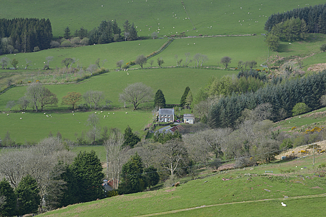
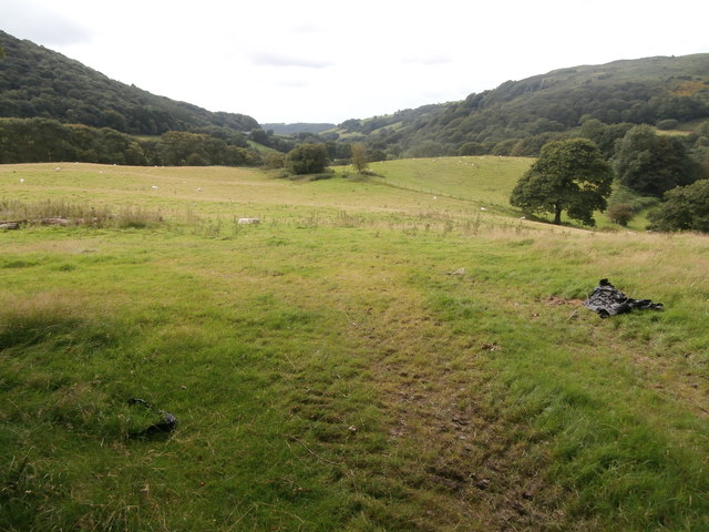
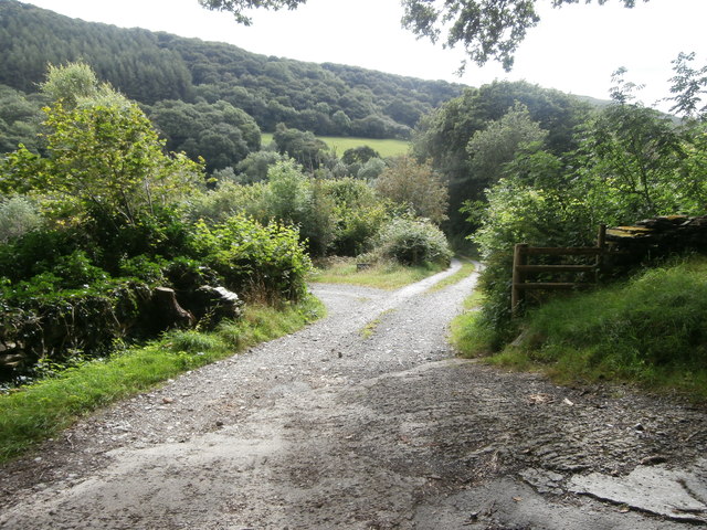
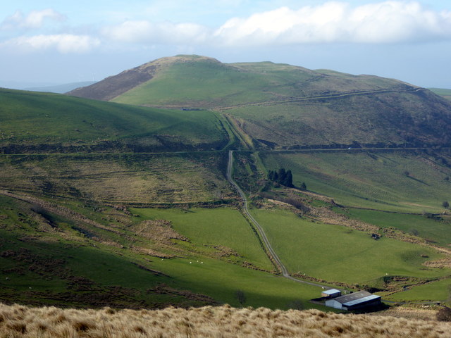
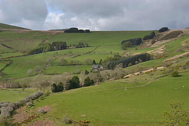
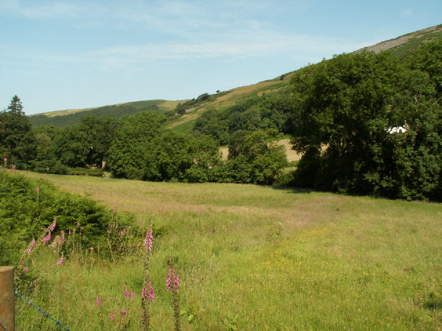
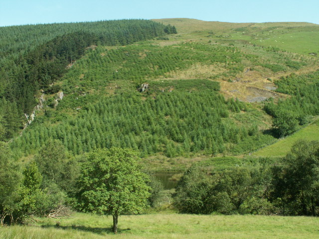
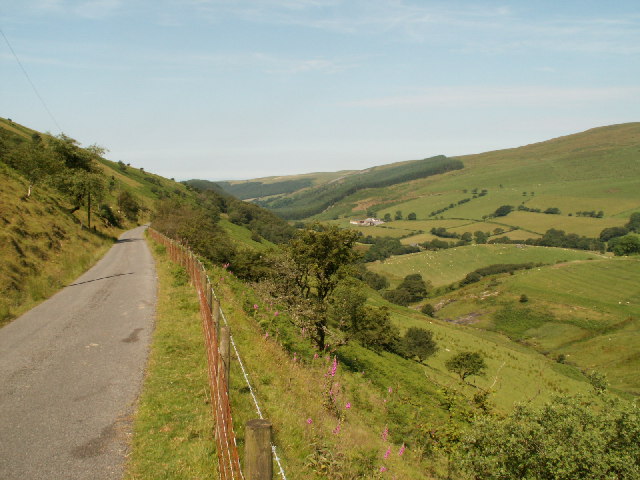
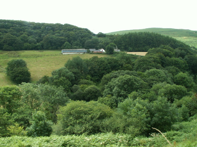
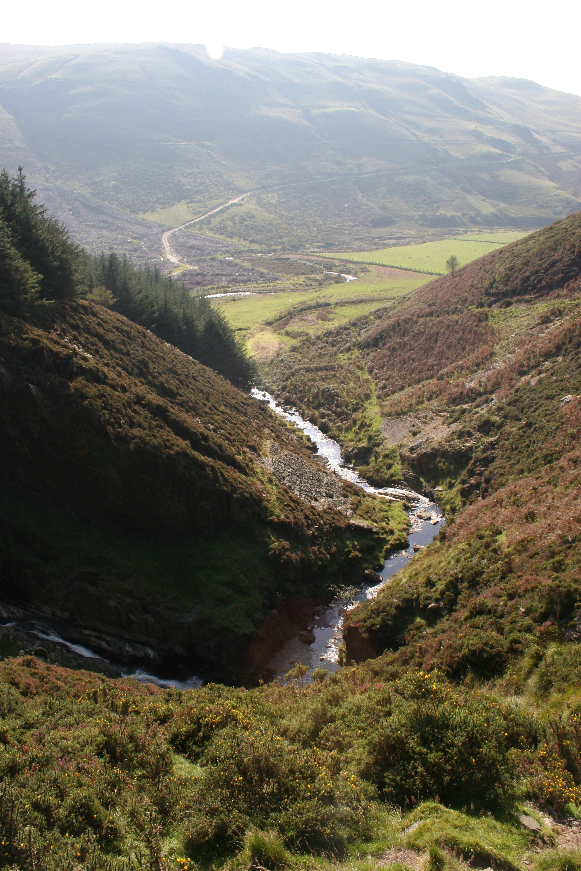
Coed Pantcwta is a picturesque woodland located in Cardiganshire, Wales. Spanning approximately 100 acres, this enchanting forest is nestled amidst the rolling hills and lush greenery of the Welsh countryside. The name "Pantcwta" translates to "wooden valley" in English, and it aptly describes the landscape of this captivating woodland.
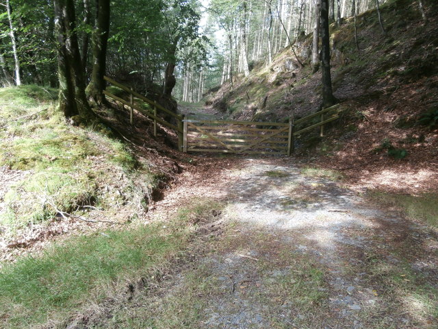
The forest is predominantly composed of native deciduous trees, such as oak, beech, and birch. These towering trees create a dense canopy, providing shade and shelter for a diverse array of flora and fauna. The forest floor is carpeted with a rich layer of leaf litter, creating a serene and peaceful atmosphere.
Coed Pantcwta is home to an abundant variety of wildlife, making it a haven for nature enthusiasts. Birdwatchers can spot a plethora of species, including woodpeckers, owls, and various songbirds. The forest also harbors small mammals like foxes, badgers, and hedgehogs, along with numerous insects and butterflies.
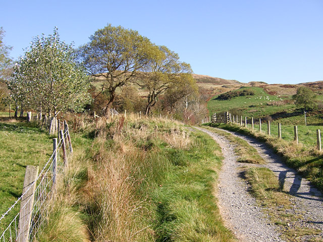
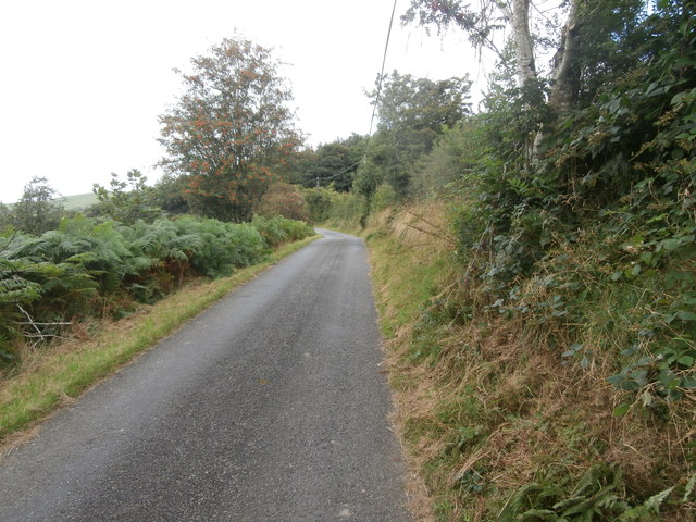
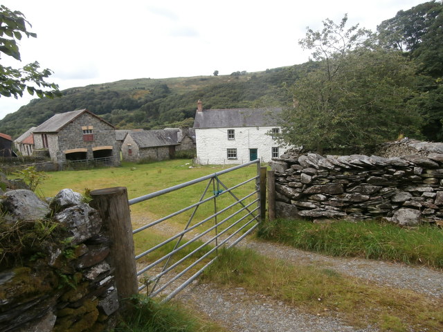
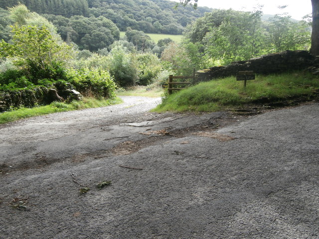
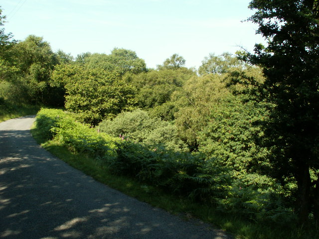
For visitors seeking solitude and tranquility, Coed Pantcwta offers a network of well-maintained walking trails. These paths wind through the forest, allowing visitors to immerse themselves in nature's beauty. The woodland also features picnic areas, inviting visitors to relax and savor the peaceful surroundings.
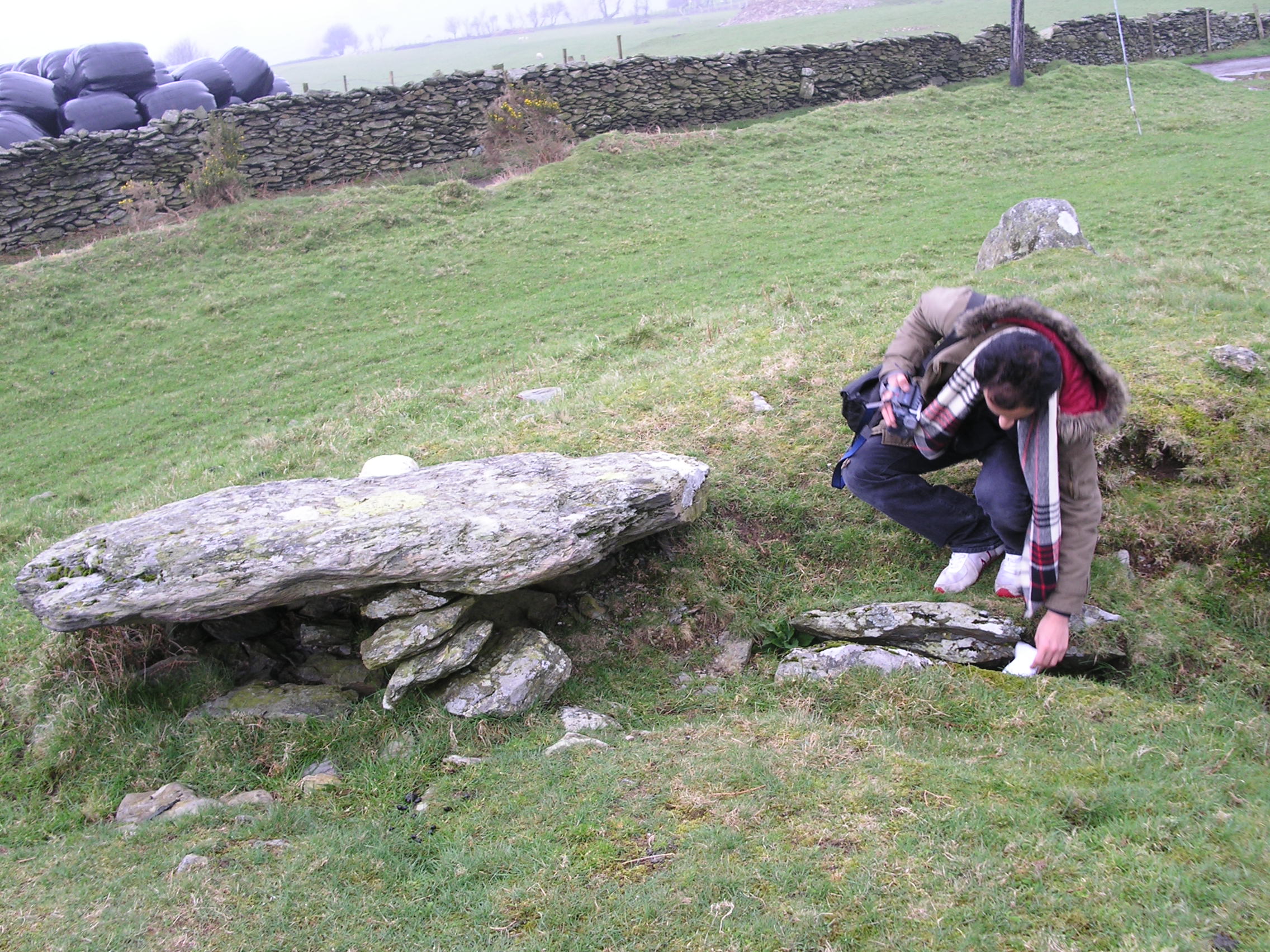
Coed Pantcwta is not only a haven for nature-lovers but also holds historical significance. The woodland is dotted with remnants of ancient settlements, including burial mounds and stone circles, providing a glimpse into the area's rich heritage.
Overall, Coed Pantcwta in Cardiganshire offers a captivating blend of natural beauty, biodiversity, and historical charm, making it a must-visit destination for those seeking an escape into the Welsh countryside.
If you have any feedback on the listing, please let us know in the comments section below.
Coed Pantcwta Images
Images are sourced within 2km of 52.481253/-3.9293005 or Grid Reference SN6988. Thanks to Geograph Open Source API. All images are credited.

Coed Pantcwta is located at Grid Ref: SN6988 (Lat: 52.481253, Lng: -3.9293005)
Unitary Authority: Ceredigion
Police Authority: Dyfed Powys
What 3 Words
///windmill.clattered.revamping. Near Bow Street, Ceredigion
Nearby Locations
Related Wikis

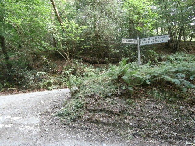
Bont Goch
Bont Goch (also known as Bontgoch or Elerch) is a village in Ceredigion, Wales, 2 miles (3.2 km) northeast of Aberystwyth. With Talybont, it is in the...
Bedd Taliesin
Bedd Taliesin is the legendary grave (bedd) of the poet Taliesin, located in Ceredigion, Wales. The Bronze Age round cairn is a listed Historic Monument...

Tal-y-bont, Ceredigion
Tal-y-bont (also known as Talybont) is a village in Ceredigion, Wales, located on the A487 road about halfway between Aberystwyth and Machynlleth. At the...
Craig-y-pistyll
Craig-y-pistyll is a Site of Special Scientific Interest in Ceredigion, west Wales. It is a reservoir with a dam at one end which supplies water to the...

Cynnull-mawr
Cynnull-mawr is a small village in the community of Ceulanamaesmawr, Ceredigion, Wales, which is 76.3 miles (122.8 km) from Cardiff and 176.9 miles (284...
Coed Cwm Clettwr
Coed Cwm Clettwr is a Site of Special Scientific Interest in Ceredigion, west Wales. It is designated for mature broadleaf woodland.The alternative spelling...

Tre-Taliesin
Tre-Taliesin is a village in Ceredigion on the A487 road, 9 miles north of Aberystwyth, Wales, and 9 miles south of Machynlleth. It is in the parish of...
Ceulanamaesmawr
Ceulanamaesmawr is a community in Ceredigion, Wales, consisting of Tal-y-bont, Bont-goch and the surrounding area. The total population at the United...
Nearby Amenities
Located within 500m of 52.481253,-3.9293005Have you been to Coed Pantcwta?
Leave your review of Coed Pantcwta below (or comments, questions and feedback).