Ceulanamaesmawr
Community in Cardiganshire
Wales
Ceulanamaesmawr
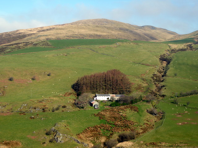
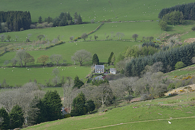
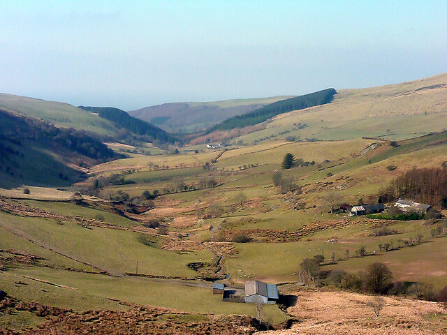
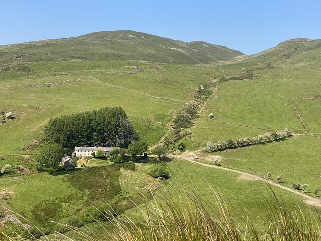
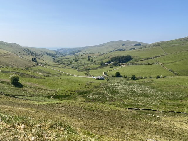
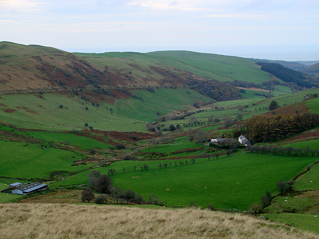
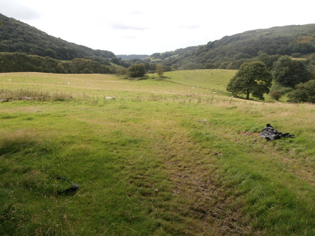
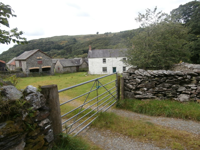
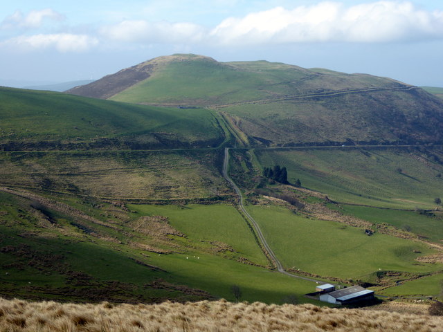
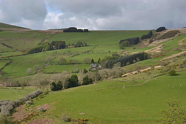
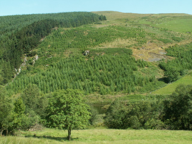
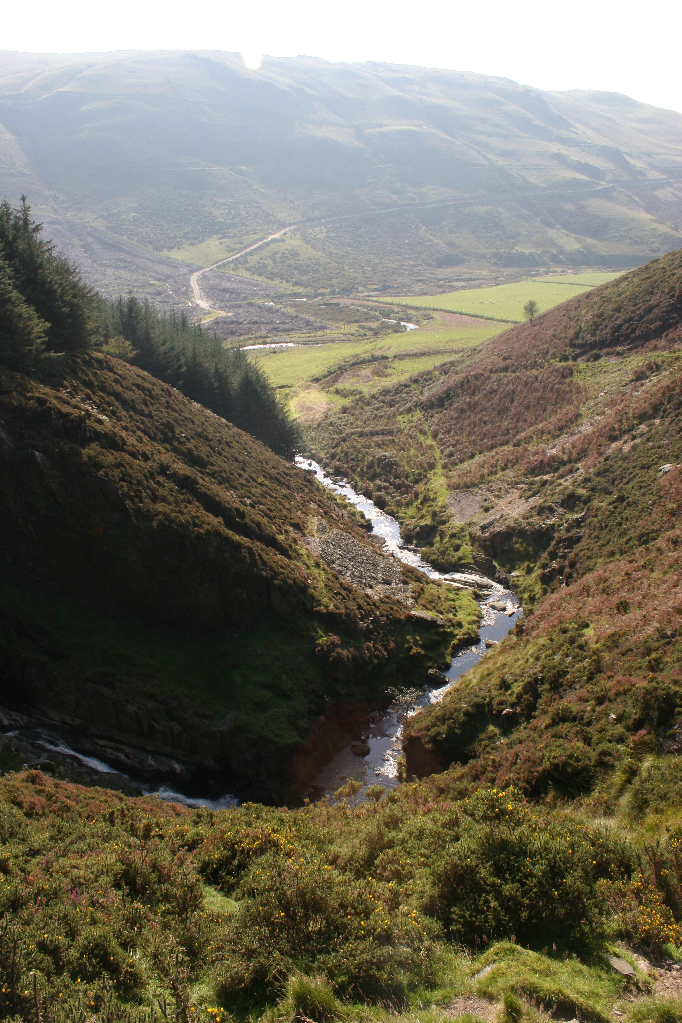
Ceulanamaesmawr is a small community located in the county of Cardiganshire, Wales. It is situated in the scenic countryside, surrounded by rolling hills and lush green fields. The community covers an area of approximately 7 square kilometers and has a population of around 300 residents.
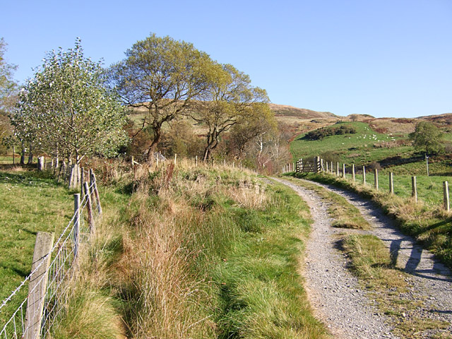
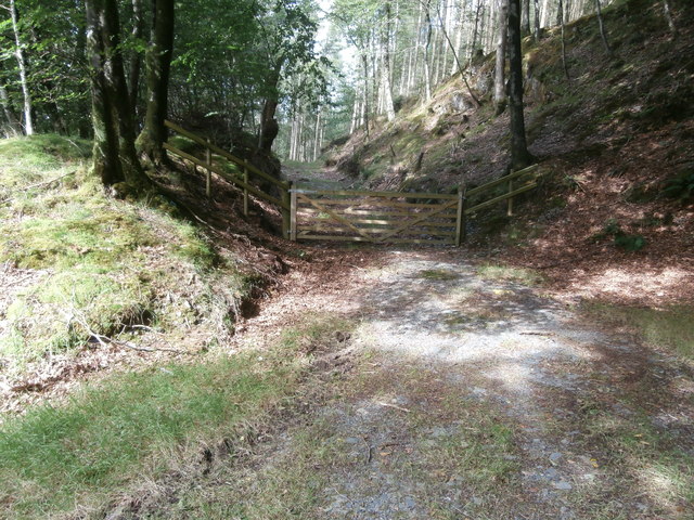
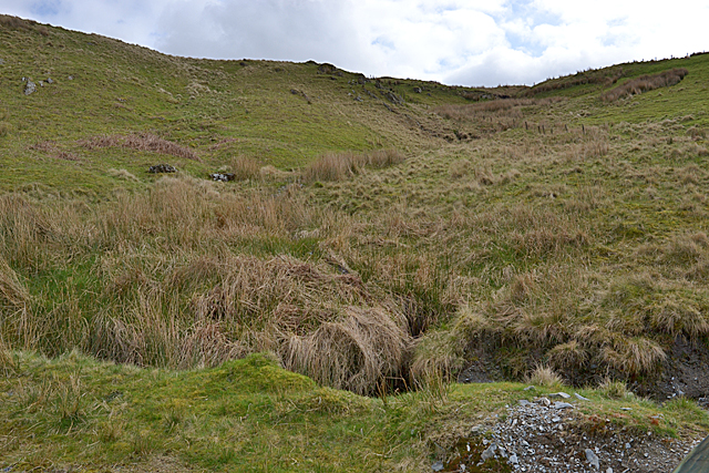
The community is primarily rural, with agriculture being the main industry. Farming activities such as sheep rearing and dairy farming are prevalent in the area, contributing to the local economy. The community is known for its stunning natural beauty and is a popular destination for nature lovers and hikers.
Within the community, there is a small primary school that caters to the educational needs of the local children. Additionally, there is a village hall that serves as a hub for community events and gatherings.
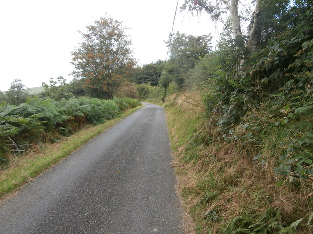
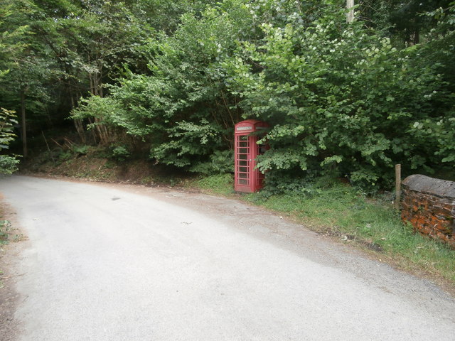
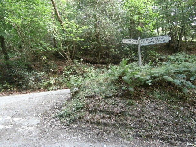
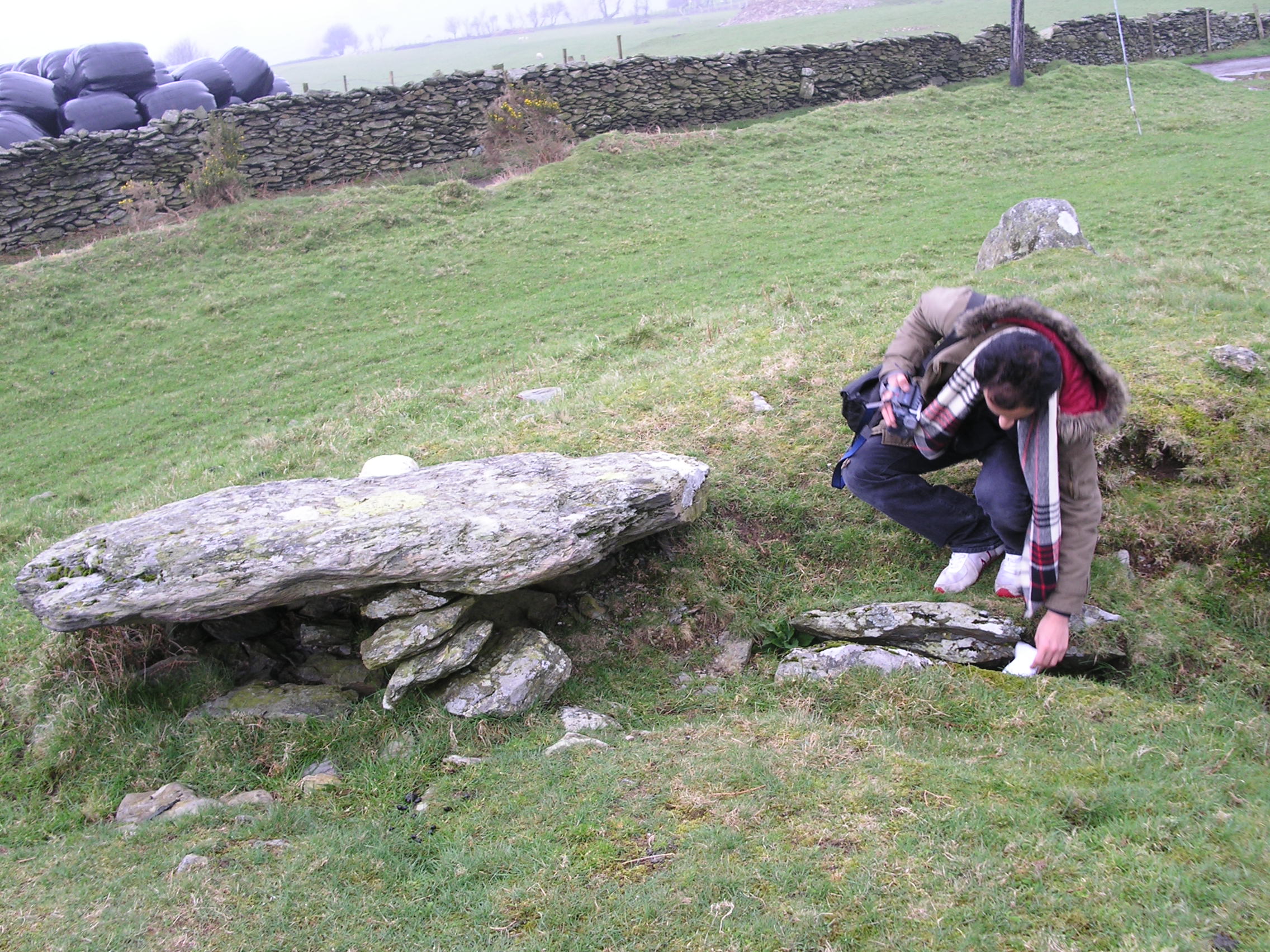
Ceulanamaesmawr is well-connected to nearby towns and villages by a network of country roads, making it easily accessible. The community is also surrounded by several historical sites and landmarks, including ancient burial grounds and ruins of old castles, which attract tourists and history enthusiasts.
The community embraces its Welsh heritage and culture, with Welsh being spoken by many of the residents. Traditional events and festivals are celebrated throughout the year, promoting a sense of community spirit and unity.
Overall, Ceulanamaesmawr offers a peaceful and idyllic lifestyle, away from the hustle and bustle of urban areas, making it an attractive place to live for those seeking a rural retreat.
If you have any feedback on the listing, please let us know in the comments section below.
Ceulanamaesmawr Images
Images are sourced within 2km of 52.479548/-3.917069 or Grid Reference SN6988. Thanks to Geograph Open Source API. All images are credited.

Ceulanamaesmawr is located at Grid Ref: SN6988 (Lat: 52.479548, Lng: -3.917069)
Unitary Authority: Ceredigion
Police Authority: Dyfed-Powys
What 3 Words
///fortified.memo.trying. Near Bow Street, Ceredigion
Nearby Locations
Related Wikis

Bont Goch
Bont Goch (also known as Bontgoch or Elerch) is a village in Ceredigion, Wales, 2 miles (3.2 km) northeast of Aberystwyth. With Talybont, it is in the...
Craig-y-pistyll
Craig-y-pistyll is a Site of Special Scientific Interest in Ceredigion, west Wales. It is a reservoir with a dam at one end which supplies water to the...
Bedd Taliesin
Bedd Taliesin is the legendary grave (bedd) of the poet Taliesin, located in Ceredigion, Wales. The Bronze Age round cairn is a listed Historic Monument...

Tal-y-bont, Ceredigion
Tal-y-bont (also known as Talybont) is a village in Ceredigion, Wales, located on the A487 road about halfway between Aberystwyth and Machynlleth. At the...

Cynnull-mawr
Cynnull-mawr is a small village in the community of Ceulanamaesmawr, Ceredigion, Wales, which is 76.3 miles (122.8 km) from Cardiff and 176.9 miles (284...

Cwmsymlog
Cwmsymlog is a short valley, sheltering a hamlet of the same name, in Ceredigion, in the west of Wales. Once an important mining area, but the mining slowly...
Coed Cwm Clettwr
Coed Cwm Clettwr is a Site of Special Scientific Interest in Ceredigion, west Wales. It is designated for mature broadleaf woodland.The alternative spelling...

Tre-Taliesin
Tre-Taliesin is a village in Ceredigion on the A487 road, 9 miles north of Aberystwyth, Wales, and 9 miles south of Machynlleth. It is in the parish of...
Nearby Amenities
Located within 500m of 52.479548,-3.917069Have you been to Ceulanamaesmawr?
Leave your review of Ceulanamaesmawr below (or comments, questions and feedback).