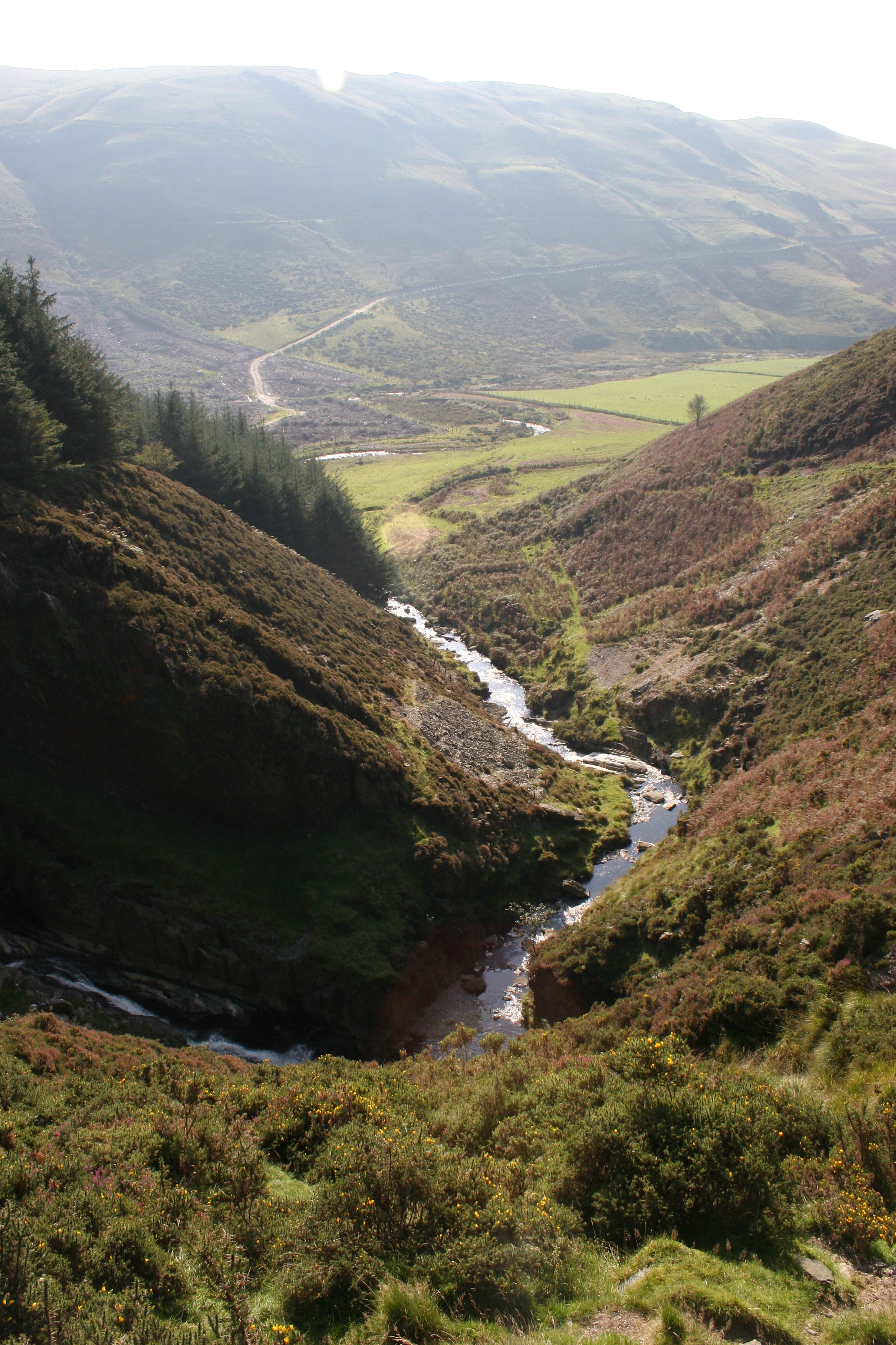
Cwm Tŷ-nant
Valley in Cardiganshire
Wales
Cwm Tŷ-nant
The requested URL returned error: 429 Too Many Requests
If you have any feedback on the listing, please let us know in the comments section below.
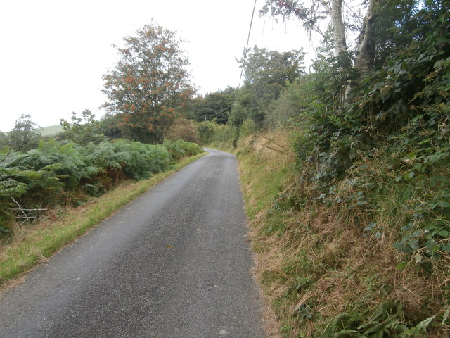
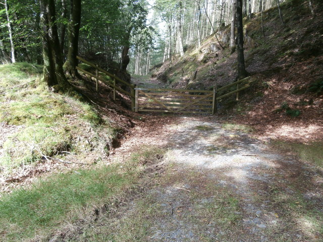
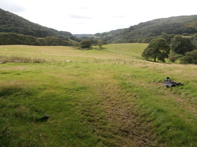
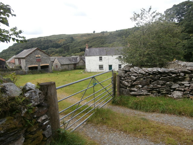
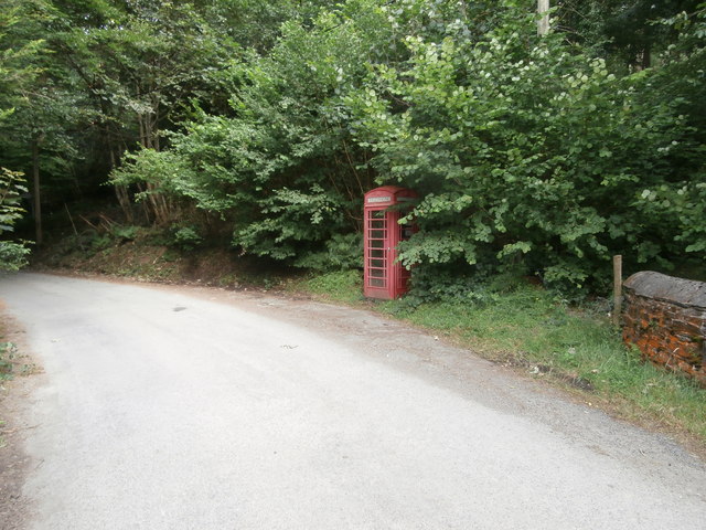
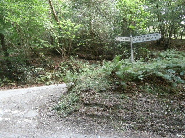
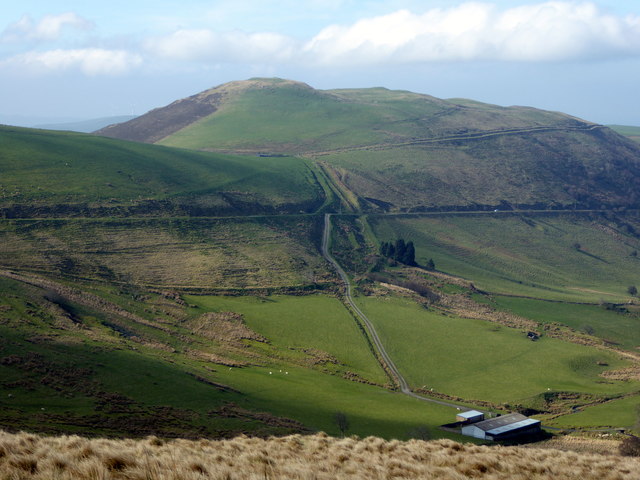
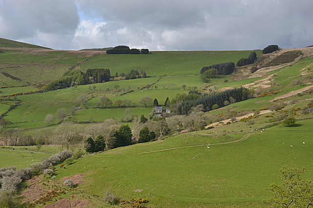
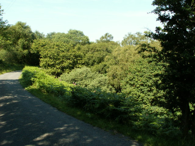
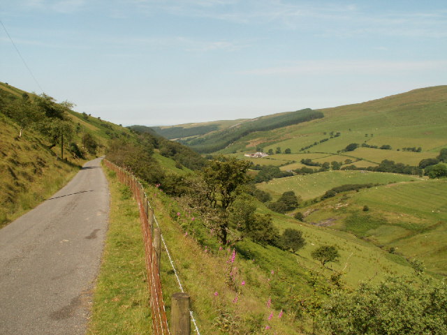
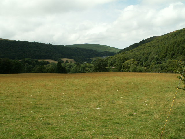
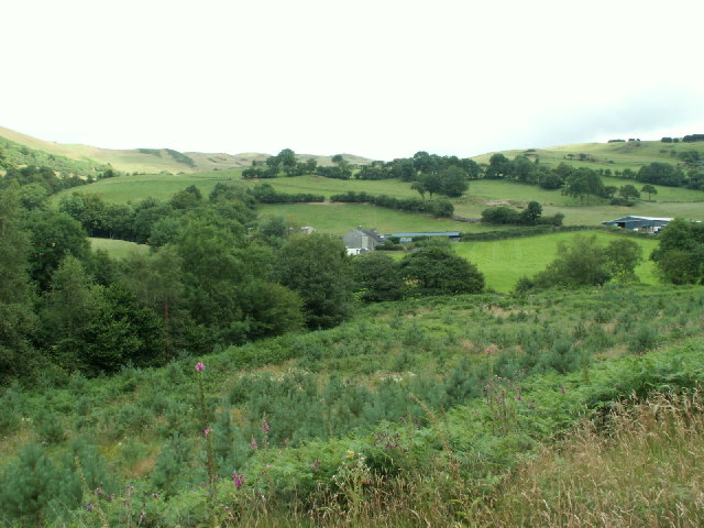
Cwm Tŷ-nant Images
Images are sourced within 2km of 52.477699/-3.9173204 or Grid Reference SN6988. Thanks to Geograph Open Source API. All images are credited.


Cwm Tŷ-nant is located at Grid Ref: SN6988 (Lat: 52.477699, Lng: -3.9173204)
Unitary Authority: Ceredigion
Police Authority: Dyfed Powys
What 3 Words
///retraced.expired.students. Near Bow Street, Ceredigion
Nearby Locations
Related Wikis

Bont Goch
Bont Goch (also known as Bontgoch or Elerch) is a village in Ceredigion, Wales, 2 miles (3.2 km) northeast of Aberystwyth. With Talybont, it is in the...
Craig-y-pistyll
Craig-y-pistyll is a Site of Special Scientific Interest in Ceredigion, west Wales. It is a reservoir with a dam at one end which supplies water to the...
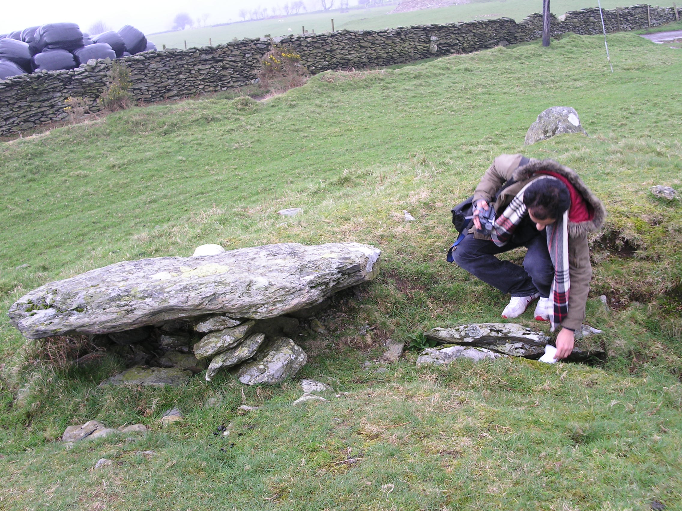
Bedd Taliesin
Bedd Taliesin is the legendary grave (bedd) of the poet Taliesin, located in Ceredigion, Wales. The Bronze Age round cairn is a listed Historic Monument...

Cwmsymlog
Cwmsymlog is a short valley, sheltering a hamlet of the same name, in Ceredigion, in the west of Wales. Once an important mining area, but the mining slowly...
Nearby Amenities
Located within 500m of 52.477699,-3.9173204Have you been to Cwm Tŷ-nant?
Leave your review of Cwm Tŷ-nant below (or comments, questions and feedback).