Allt y Saeson

Wood, Forest in Carmarthenshire

Wales

Allt y Saeson

Horse and foal try to outrun train Train was going slowly, but these two ran out of field and had to pull up.
Horse and foal try to outrun train Credit: Chris Morgan

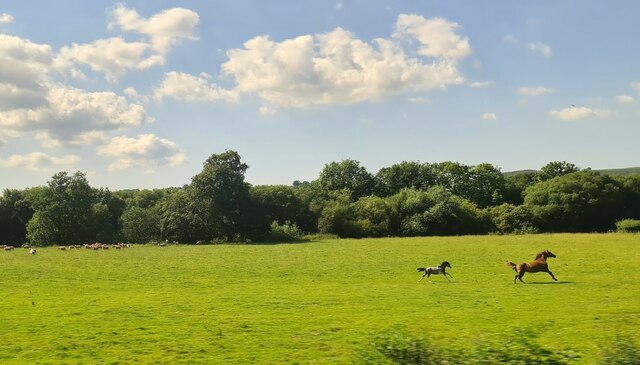
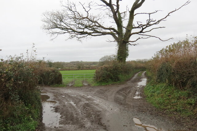
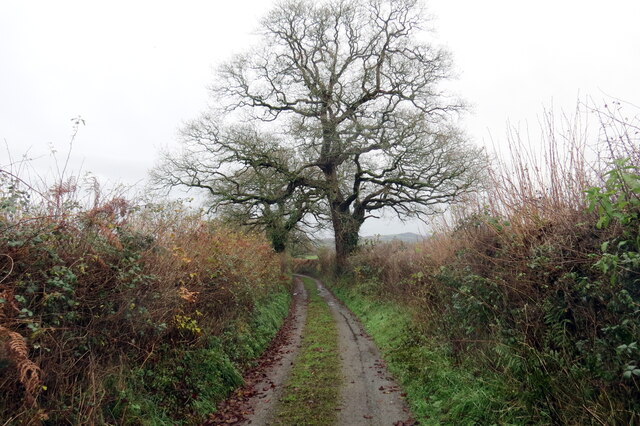
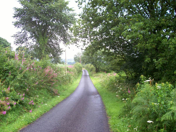
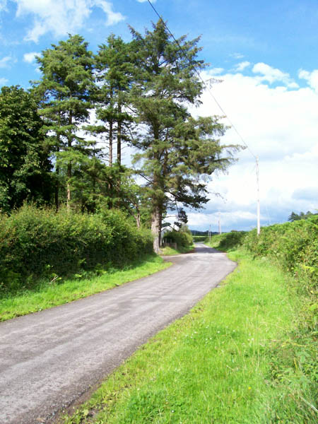
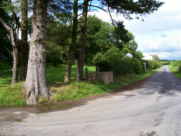
Allt y Saeson is a picturesque woodland area located in Carmarthenshire, Wales. Covering an area of approximately 100 acres, it is a haven for nature lovers and outdoor enthusiasts. The name Allt y Saeson translates to "Wood of the Saxons" in English, reflecting its historical significance.

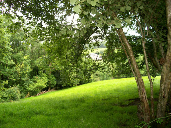
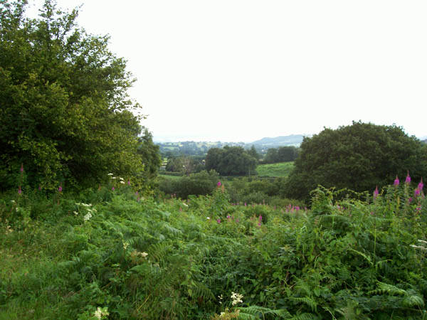
The woodland is primarily composed of native Welsh oak trees, creating a dense and lush forest that provides a habitat for a wide range of flora and fauna. The area is also home to a variety of other tree species, including ash, beech, and birch, adding to the diversity of the landscape.

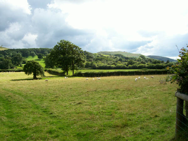
Visitors to Allt y Saeson can explore the numerous walking trails that wind their way through the woodland, offering stunning views and opportunities to spot wildlife. The tranquil atmosphere and peaceful surroundings make it an ideal location for nature walks, picnics, and birdwatching.

The woodland is managed by the local authorities and has been designated as a Site of Special Scientific Interest (SSSI) due to its ecological importance. It is also part of the wider Cothi Valley Special Area of Conservation, which aims to protect and preserve the unique natural habitats in the region.

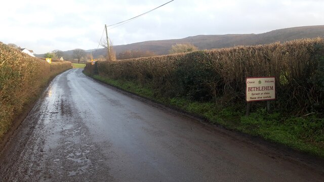
Allt y Saeson is easily accessible by road and is located in close proximity to the village of Pumpsaint. It is a popular destination for both locals and tourists seeking to immerse themselves in the beauty of the Welsh countryside.

If you have any feedback on the listing, please let us know in the comments section below.

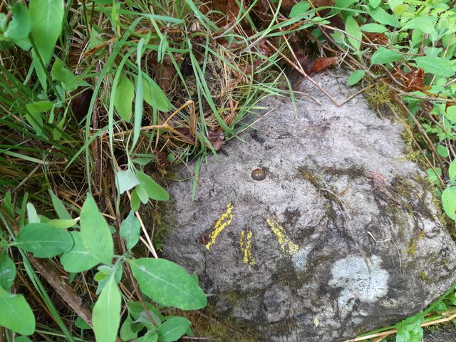
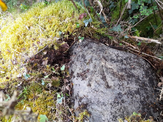
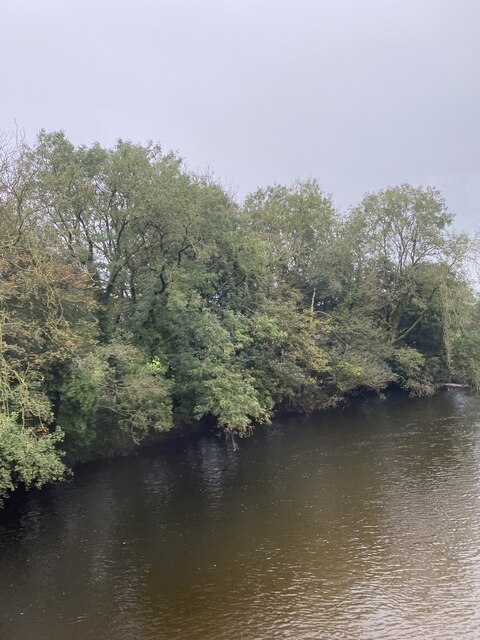
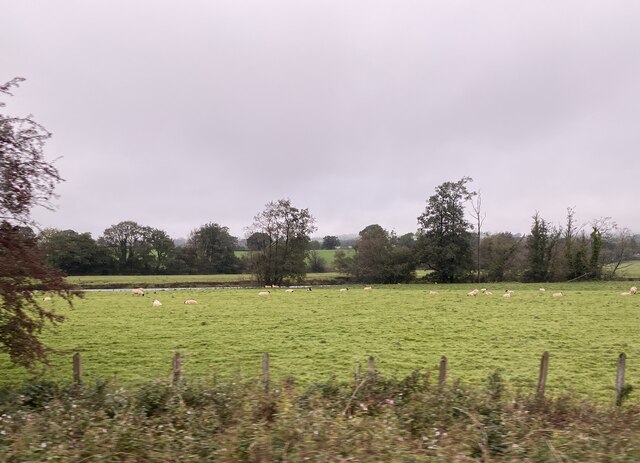
Allt y Saeson Images

Images are sourced within 2km of 51.915721/-3.9045923 or Grid Reference SN6925. Thanks to Geograph Open Source API. All images are credited.

Horse and foal try to outrun train Train was going slowly, but these two ran out of field and had to pull up.
Horse and foal try to outrun train
Train was going slowly, but these two ran out of field and had to pull up.
Cyffordd o heolydd bach / A junction of minor roads Cyffordd o heolydd bach ger Ffarm Glanrhydsaeson.

A junction of minor roads near Glanrhydsaeson Farm (trans. riverbank of the ford of the English).
Cyffordd o heolydd bach / A junction of minor roads
Cyffordd o heolydd bach ger Ffarm Glanrhydsaeson. A junction of minor roads near Glanrhydsaeson Farm (trans. riverbank of the ford of the English).
Coed deri ar heol fach / Oak trees on a minor road Coed deri ar heol fach yn mynd i gyfeiriad yr A40.

Oak trees on a minor road heading towards the A40.
Coed deri ar heol fach / Oak trees on a minor road
Coed deri ar heol fach yn mynd i gyfeiriad yr A40. Oak trees on a minor road heading towards the A40.
Approaching Bethlehem from the West
Llwynmendy Uchaf Farm
Entrance to Cwmcrymlyn Barn
Pant Neuadd House by the A40 on the outskirts of Manordeilo
Pant Neuadd
House by the A40 on the outskirts of Manordeilo
A row of houses at Manordeilo At the end of the row is a former Calvinist Methodist Chapel, Capel y Dyffryn
A row of houses at Manordeilo
At the end of the row is a former Calvinist Methodist Chapel, Capel y Dyffryn
Ordnance Survey Rivet This OS rivet can be found on a stone west side of the road and south edge of stream. It marks a point 523.6ft above mean sea level.
Ordnance Survey Rivet
This OS rivet can be found on a stone west side of the road and south edge of stream. It marks a point 523.6ft above mean sea level.
Ordnance Survey Rivet This OS rivet can be found on a stone west side of the road. It marks a point 156.225m above mean sea level.
Ordnance Survey Rivet
This OS rivet can be found on a stone west side of the road. It marks a point 156.225m above mean sea level.
Tree-lined Afon Towy
Sheep near the banks of Afon Tywi
Cefn y Coed Common A wonderful area of "Access Land" which is an impenetrable mass of Bracken and Willow Herb.
Cefn y Coed Common
A wonderful area of "Access Land" which is an impenetrable mass of Bracken and Willow Herb.
Road near Tal-y-Garn Prominent clump of pine trees at the junction of the farm road.
Road near Tal-y-Garn
Prominent clump of pine trees at the junction of the farm road.
Woodland glade The farm called Carregfoelgam can just be glimpsed across this woodland glade at the side of the steep lane.
Woodland glade
The farm called Carregfoelgam can just be glimpsed across this woodland glade at the side of the steep lane.
Sheep grazing Pasture alongside the boundary of the National Park, with views of Carn
Goch in the distance.
Sheep grazing
Pasture alongside the boundary of the National Park, with views of Carn Goch in the distance.
Milk-churn dock The importance of dairy farming is indicated by the regular presence at
the roadside of a dock for milk churns. Situated at a height suitable
for moving the churns on the level onto a wagon or lorry, this avoided
lifting heavy weights from the ground. There is even a ramp to the
rear of this one, suggesting that the building in the hedge was once the
dairy.
Milk-churn dock
The importance of dairy farming is indicated by the regular presence at the roadside of a dock for milk churns. Situated at a height suitable for moving the churns on the level onto a wagon or lorry, this avoided lifting heavy weights from the ground. There is even a ramp to the rear of this one, suggesting that the building in the hedge was once the dairy.
Cefn-y-Coed Common A better view of the thick tangle of vegetation that is indicated to be access land.
Cefn-y-Coed Common
A better view of the thick tangle of vegetation that is indicated to be access land.
Show me another place!

Allt y Saeson is located at Grid Ref: SN6925 (Lat: 51.915721, Lng: -3.9045923)

Unitary Authority: Carmarthenshire

Police Authority: Dyfed Powys

What 3 Words

///hotels.upstarts.occurs. Near Llansadwrn, Carmarthenshire

Nearby Locations

Allt y Saeson

Related Wikis

Bethlehem, Carmarthenshire

Bethlehem is a tiny farming village in the county of Carmarthenshire, Wales, lying in the Tywi Valley northeast of Llandeilo and southwest of Llangadog...

Glanrhyd Halt railway station

Glanrhyd railway station served the town of Llandeilo, Carmarthenshire, Wales, from 1858 to 1955 on the Vale of Towy Railway. == History == The station...

Glanrhyd Bridge collapse

On 19 October 1987, a train on the Heart of Wales line derailed and fell into the River Towy due to the partial collapse of the Glanrhyd Bridge near Llandeilo...

Y Garn Goch

Y Garn Goch is a hill in the Brecon Beacons National Park in the east of Carmarthenshire, Wales. The name means the 'red cairn'. It lies near the village...

River Sawdde

The Afon Sawdde is a river in the county of Carmarthenshire, Wales. For most of its course it flows through the Brecon Beacons National Park and Fforest...

Manordeilo

Manordeilo is a village in Carmarthenshire, Wales, near the River Tywi. == External links == Manordeilo and Salem Community Council website

Manordeilo and Salem

Manordeilo and Salem (Welsh: Maenordeilo a Salem) is a community located in Carmarthenshire, Wales. The population taken at the 2011 census was 1,754.The...

Bont Fawr

Bont Fawr is a tiny hamlet in Carmarthenshire, Wales.

Nearby Amenities

Located within 500m of 51.915721,-3.9045923
Barrier: stile
Foot: yes
Lat/Long: 51.9168157/-3.9031495
Barrier: stile
Foot: yes
Lat/Long: 51.9150688/-3.9043178
Fixme: continue
Lat/Long: 51.916783/-3.903246
The data included in this document is from www.openstreetmap.org. The data is made available under ODbL.

Have you been to Allt y Saeson?

Leave your review of Allt y Saeson below (or comments, questions and feedback).