Allt Cwmhenog
Wood, Forest in Carmarthenshire
Wales
Allt Cwmhenog
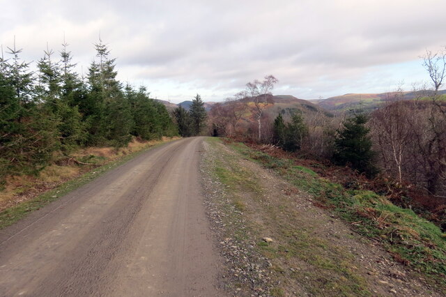
Allt Cwmhenog is a picturesque woodland located in Carmarthenshire, Wales. Covering an area of approximately 100 acres, it is a popular destination for nature lovers and outdoor enthusiasts. The woodland is situated in the scenic Brecon Beacons National Park, providing visitors with breathtaking views of the surrounding mountains and valleys.
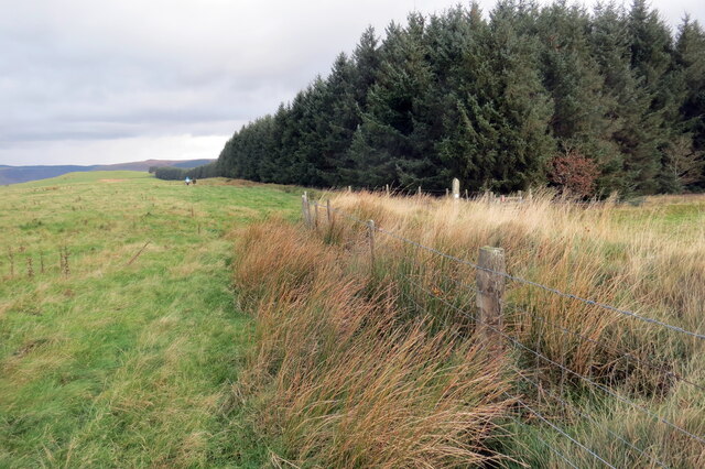
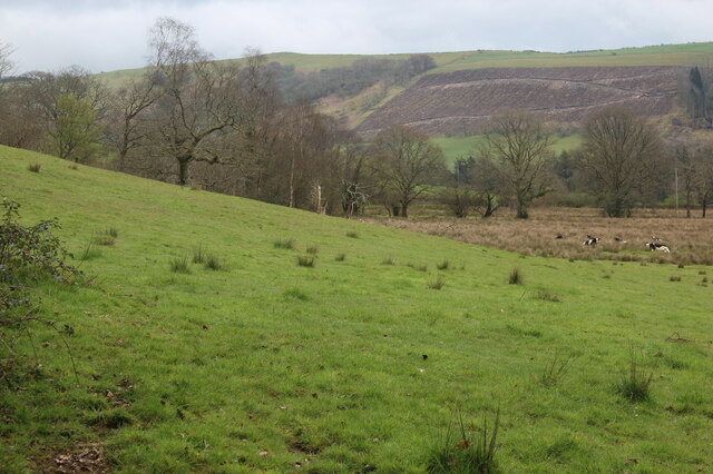
Allt Cwmhenog is characterized by its diverse range of tree species, including oak, beech, ash, and birch. The dense canopy of the woodland provides a habitat for a wide variety of wildlife, making it a haven for birdwatchers and wildlife enthusiasts. Visitors may spot species such as red kites, buzzards, and various woodland birds.
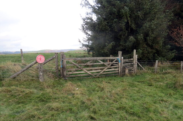
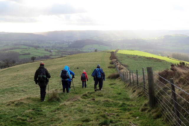
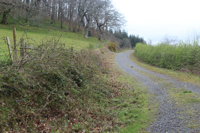
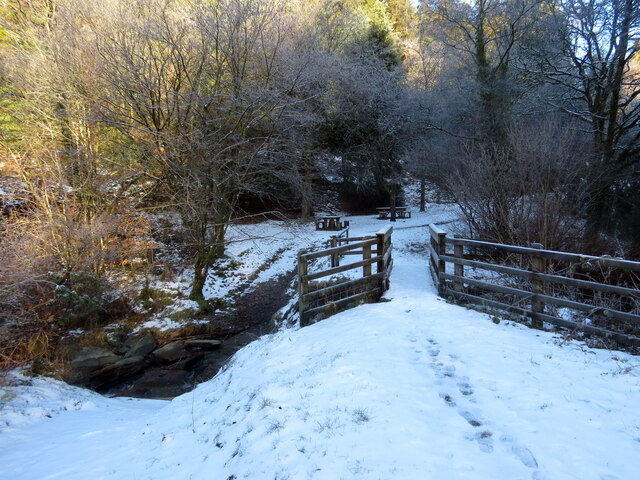
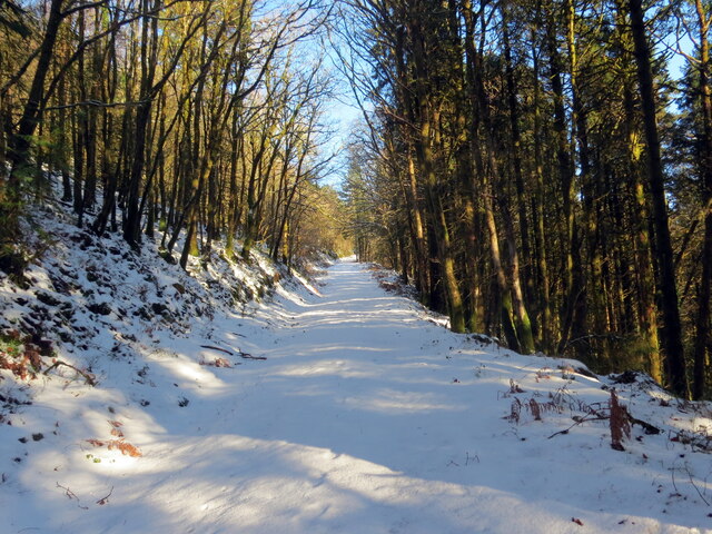
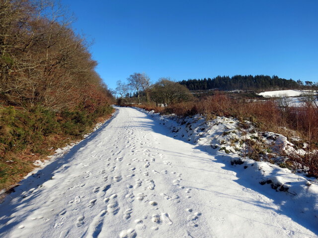
The woodland is crisscrossed by a network of walking trails, allowing visitors to explore its natural beauty at their own pace. These trails take visitors through ancient woodland, along the banks of babbling streams, and past serene ponds. The tranquil atmosphere and peaceful surroundings make Allt Cwmhenog an ideal place for relaxation and contemplation.
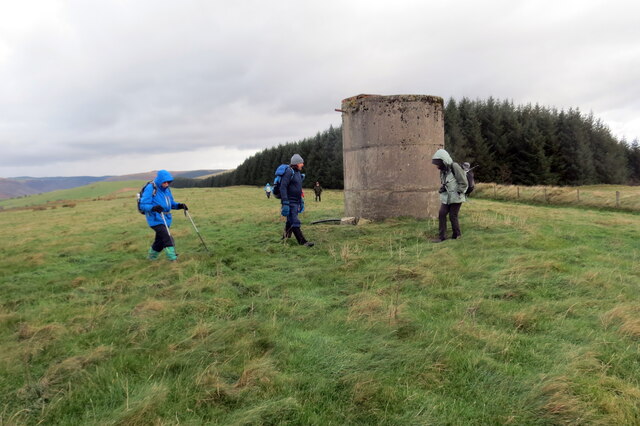
In addition to its natural beauty, Allt Cwmhenog also has historical significance. The woodland is home to the ruins of an old iron mine, which once played a crucial role in the region's industrial past. This adds an interesting element to the woodland's charm, providing visitors with a glimpse into the area's history.
Overall, Allt Cwmhenog is a captivating woodland that offers visitors the chance to immerse themselves in nature, enjoy stunning views, and discover the area's rich history. It is a must-visit destination for anyone seeking tranquility and a connection with the natural world.
If you have any feedback on the listing, please let us know in the comments section below.
Allt Cwmhenog Images
Images are sourced within 2km of 52.04724/-3.9440438 or Grid Reference SN6640. Thanks to Geograph Open Source API. All images are credited.
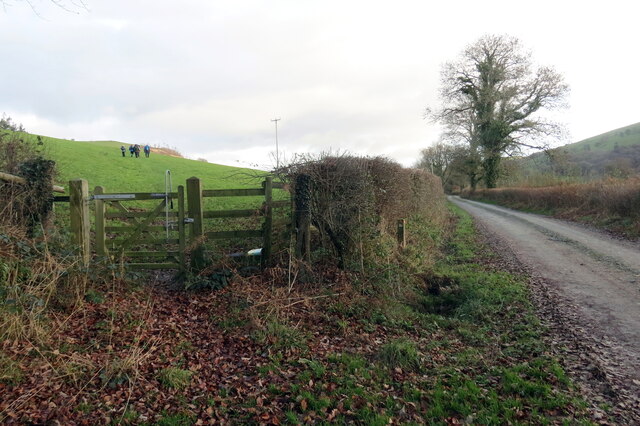
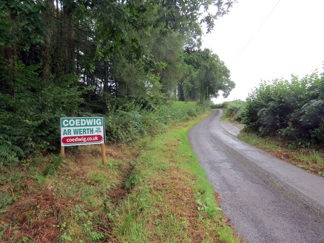
![Llwybr yn gadael yr heol / Path exiting the road Llwybr yn gadael heol fach ger Mwyngloddiau Aur Dolaucothi.
Path exiting a minor road near the Dolaucothi Goldmines (trans. Cothi [river] meadows).](https://s0.geograph.org.uk/geophotos/07/03/08/7030836_ae53f00f.jpg)
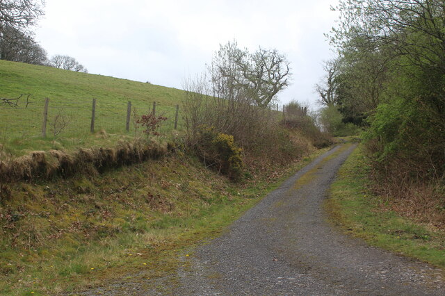
![Llwybr uwchben Caio / Path above Caio Llwybr cyhoeddus uwchben Caio ac yn sy&#039;n mynd i gyfeiriad Cwm Cothi.
A public footpath above the village of Caio and heading towards Cwm Cothi (trans. [river] Cothi valley).](https://s1.geograph.org.uk/geophotos/07/38/65/7386501_ee6ae911.jpg)
Allt Cwmhenog is located at Grid Ref: SN6640 (Lat: 52.04724, Lng: -3.9440438)
Unitary Authority: Carmarthenshire
Police Authority: Dyfed Powys
What 3 Words
///equipping.goggle.humid. Near Llansawel, Carmarthenshire
Nearby Locations
Related Wikis

Dolaucothi Estate
The Dolaucothi Estate (also Dolaucothy) is situated about 1 mile (1.6 km) north-west of the village of Caio up the Cothi Valley in the community of Cynwyl...

Dolaucothi Gold Mines
The Dolaucothi Gold Mines (pronounced [ˌdɔlaiˈkɔθɪ]; Welsh: Mwynfeydd Aur Dolaucothi) (grid reference SN662403), also known as the Ogofau Gold Mine, are...

Caio, Carmarthenshire
Caio (or Caeo) is a village in the county of Carmarthenshire, south-west Wales, sited near to the Dolaucothi Gold Mines. == Location == It is located between...

Pumsaint
Pumsaint is a village in Carmarthenshire, Wales, halfway between Llanwrda and Lampeter on the A482 in the valley of the Afon Cothi. It forms part of the...
Nearby Amenities
Located within 500m of 52.04724,-3.9440438Have you been to Allt Cwmhenog?
Leave your review of Allt Cwmhenog below (or comments, questions and feedback).