Pumsaint

Settlement in Carmarthenshire

Wales

Pumsaint

Llwybr ger Drysallt / A path near Drysallt Llwybr caniataol ar gefen yn Nrysallt.

A permissive path on a ridge at Drysallt (trans. A wooded slope abounding with brambles).
Llwybr ger Drysallt / A path near Drysallt Credit: Alan Richards

Pumsaint is a small village located in the county of Carmarthenshire, Wales. Situated within the beautiful countryside of the Teifi Valley, it is nestled between the towns of Lampeter and Llandovery. The name Pumsaint translates to "Five Saints" in English, referring to the five saints who were said to have settled in the area during the 5th century.

Historically, Pumsaint was known for its rich gold mines, which were active during the Roman era. The Dolaucothi Gold Mines, located in the nearby Cothi Valley, were the largest and most productive gold mines in the Roman Empire. Today, the National Trust manages the mines, allowing visitors to explore the ancient tunnels and experience the history of gold mining in Wales.

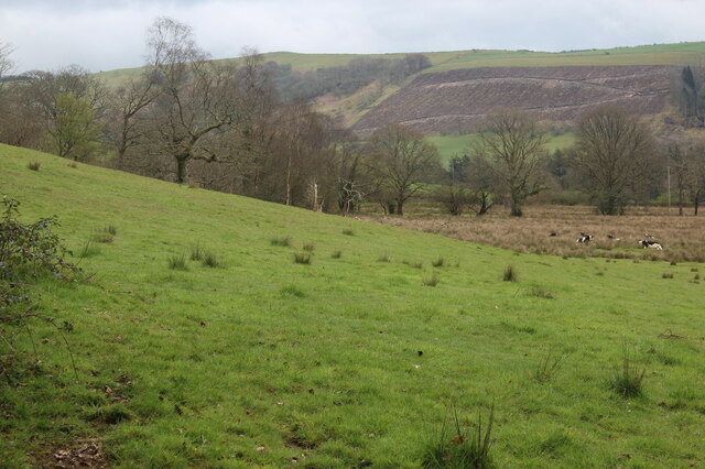
The village itself is small, with a tight-knit community and a population of around 100 residents. It features a charming pub, The Dolaucothi Arms, which serves as a gathering place for locals and tourists alike. The surrounding area offers breathtaking natural scenery, with rolling hills, meandering rivers, and lush green fields.

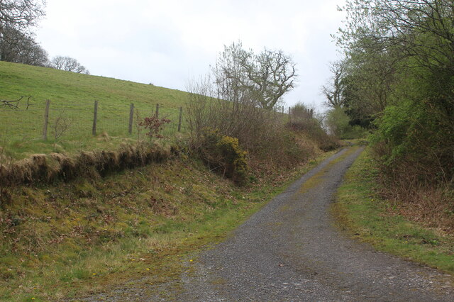
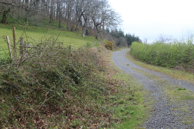
Pumsaint is also a popular destination for outdoor enthusiasts, as it offers numerous walking and cycling trails that showcase the stunning Welsh countryside. The village is part of the Cambrian Mountains, an Area of Outstanding Natural Beauty, providing ample opportunities for nature exploration and wildlife spotting.

Overall, Pumsaint is a picturesque village with a fascinating history, making it an attractive destination for those seeking a tranquil retreat in the heart of rural Wales.

If you have any feedback on the listing, please let us know in the comments section below.

Pumsaint Images

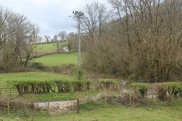
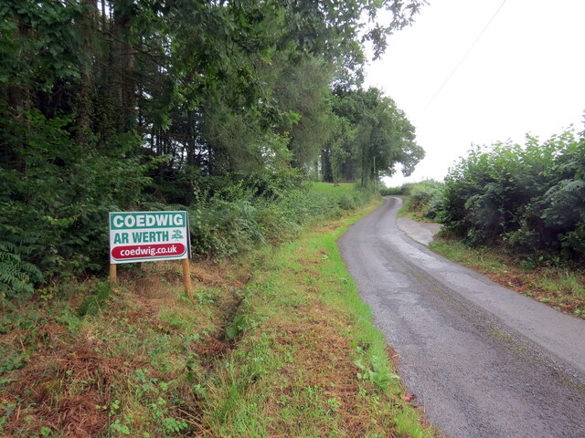
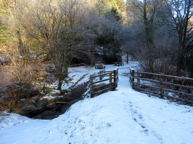
Images are sourced within 2km of 52.044754/-3.953119 or Grid Reference SN6640. Thanks to Geograph Open Source API. All images are credited.
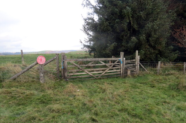
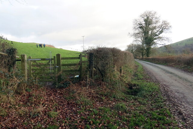
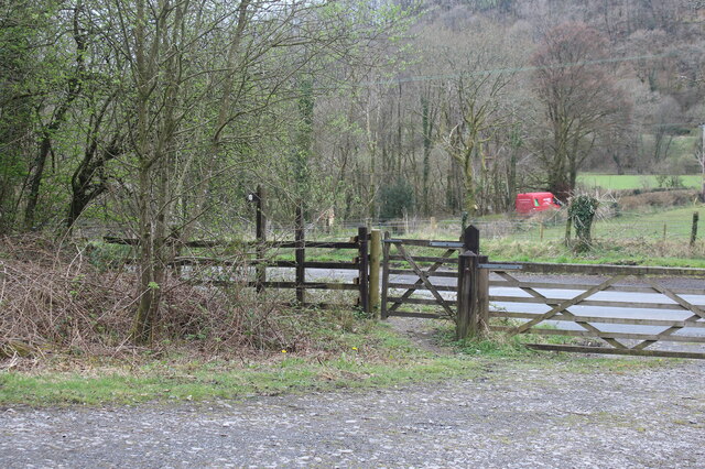
Llwybr ger Drysallt / A path near Drysallt Llwybr caniataol ar gefen yn Nrysallt.

A permissive path on a ridge at Drysallt (trans. A wooded slope abounding with brambles).
Llwybr ger Drysallt / A path near Drysallt
Llwybr caniataol ar gefen yn Nrysallt. A permissive path on a ridge at Drysallt (trans. A wooded slope abounding with brambles).
Drysallt Ucheldir yn gymysg o dir porfa a phlanhigfa gonifferaidd.  

Upland consisting of pasture and a conifer plantation.
Drysallt
Ucheldir yn gymysg o dir porfa a phlanhigfa gonifferaidd. Upland consisting of pasture and a conifer plantation.
Twr dwr ar ucheldir / Upland water tower Cerddwyr o amgylch twr dwr ar gefnen.

Walkers at a water tower located on a ridge.
Twr dwr ar ucheldir / Upland water tower
Cerddwyr o amgylch twr dwr ar gefnen. Walkers at a water tower located on a ridge.
I lawr y gefnen / Descending the ridge Cerddwyr yn dilyn llwybr caniataol wrth iddo fynd i lawr y waered.

Walkers following a permissive path as it descends the hill.
I lawr y gefnen / Descending the ridge
Cerddwyr yn dilyn llwybr caniataol wrth iddo fynd i lawr y waered. Walkers following a permissive path as it descends the hill.
Llwybr yn gadael yr heol / Path exiting the road Llwybr yn gadael heol fach ger Mwyngloddiau Aur Dolaucothi.

Path exiting a minor road near the Dolaucothi Goldmines (trans. Cothi [river] meadows).
Llwybr yn gadael yr heol / Path exiting the road
Llwybr yn gadael heol fach ger Mwyngloddiau Aur Dolaucothi. Path exiting a minor road near the Dolaucothi Goldmines (trans. Cothi [river] meadows).
Llwybr yn gadael heol fynedfa / Path exits an access road Llwybr cyhoeddus yn gadael trac ger Ffarm Dolaucothi.

A public footpath exits a track near Dolaucothi Farm (trans. meadows of the river Cothi).
Llwybr yn gadael heol fynedfa / Path exits an access road
Llwybr cyhoeddus yn gadael trac ger Ffarm Dolaucothi. A public footpath exits a track near Dolaucothi Farm (trans. meadows of the river Cothi).
Track up to Allt Dolaucothi from A482 The track turns left <a href="https://www.geograph.org.uk/photo/7149225">SN6540 : Hillside track to Allt Dolaucothi</a> at the end of the straight section; it is the route of a permissive footpath (National Trust).
Track up to Allt Dolaucothi from A482
The track turns left SN6540 : Hillside track to Allt Dolaucothi at the end of the straight section; it is the route of a permissive footpath (National Trust).
Hillside pasture and rushes with cattle Pasture next to track on side of Cothi valley.
Hillside pasture and rushes with cattle
Pasture next to track on side of Cothi valley.
Hillside track to Allt Dolaucothi Stony track - a continuation from the bend of track in <a href="https://www.geograph.org.uk/photo/7148930">SN6540 : Track up to Allt Dolaucothi from A482</a>.
Hillside track to Allt Dolaucothi
Stony track - a continuation from the bend of track in SN6540 : Track up to Allt Dolaucothi from A482.
Gates at start of track from A482 The track turns to go uphill, track in <a href="https://www.geograph.org.uk/photo/7148930">SN6540 : Track up to Allt Dolaucothi from A482</a>. The red van is on a minor road from the A482 towards Pont Maes-troyddyn.
Gates at start of track from A482
The track turns to go uphill, track in SN6540 : Track up to Allt Dolaucothi from A482. The red van is on a minor road from the A482 towards Pont Maes-troyddyn.
Roadside electricity transmission pole Pole by minor road to Pont Maes-troyddyn from A482 just north of Pumsaint.
Roadside electricity transmission pole
Pole by minor road to Pont Maes-troyddyn from A482 just north of Pumsaint.
Heol fach wledig / Rural minor road Heol fach wledig ger pentre Pumsaint.

A small rural road near the village of Pumsaint (trans. five saints)
Heol fach wledig / Rural minor road
Heol fach wledig ger pentre Pumsaint. A small rural road near the village of Pumsaint (trans. five saints)
Pompren dros Afon Annell / Footbridge over Afon Annell Llwybr cyhoeddus yn croesi pompren sy'n rhychwantu Afon Annell.

A public footpath crosses a footbridge which spans Afon Annell.
Pompren dros Afon Annell / Footbridge over Afon Annell
Llwybr cyhoeddus yn croesi pompren sy'n rhychwantu Afon Annell. A public footpath crosses a footbridge which spans Afon Annell.
Ordnance Survey Cut Mark This OS cut mark can be found on the building NE side of the road. It marks a point 132.251m above mean sea level.
Ordnance Survey Cut Mark
This OS cut mark can be found on the building NE side of the road. It marks a point 132.251m above mean sea level.
Ordnance Survey Cut Mark This OS cut mark can be found on the building at Felin-dolau. It marks a point 124.721m above mean sea level.
Ordnance Survey Cut Mark
This OS cut mark can be found on the building at Felin-dolau. It marks a point 124.721m above mean sea level.
Cottages in Pumsaint This little village had remained unspoilt and has an interesting variety of properties, many in a similar livery. Though whether this marks them out as belonging to one particular estate or landlord I don't yet know.
Cottages in Pumsaint
This little village had remained unspoilt and has an interesting variety of properties, many in a similar livery. Though whether this marks them out as belonging to one particular estate or landlord I don't yet know.
Old roadside barn in Pumsaint It looks a little neglected, even by the standards of barns in Wales.
Old roadside barn in Pumsaint
It looks a little neglected, even by the standards of barns in Wales.
The Dolaucothi Arms in Pumsaint This lovely old pub or inn looks very interesting. I must pop in for a pint sometime soon.
The Dolaucothi Arms in Pumsaint
This lovely old pub or inn looks very interesting. I must pop in for a pint sometime soon.
Show me another place!

Pumsaint is located at Grid Ref: SN6640 (Lat: 52.044754, Lng: -3.953119)

Unitary Authority: Carmarthenshire

Police Authority: Dyfed Powys

Also known as: Pumpsaint

What 3 Words

///qualified.elephant.sheepish. Near Llansawel, Carmarthenshire

Related Wikis

Dolaucothi Gold Mines

The Dolaucothi Gold Mines (pronounced [ˌdɔlaiˈkɔθɪ]; Welsh: Mwynfeydd Aur Dolaucothi) (grid reference SN662403), also known as the Ogofau Gold Mine, are...

Luentinum

Luentinum or Loventium refers to the Roman fort at Pumsaint, Carmarthenshire. The 1.9 hectares (4.7 acres) site lies either side of the A482 in Pumsaint...

Pumsaint

Pumsaint is a village in Carmarthenshire, Wales, halfway between Llanwrda and Lampeter on the A482 in the valley of the Afon Cothi. It forms part of the...

Dolaucothi Estate

The Dolaucothi Estate (also Dolaucothy) is situated about 1 mile (1.6 km) north-west of the village of Caio up the Cothi Valley in the community of Cynwyl...

Afon Twrch, Carmarthenshire

The Afon Twrch is a short river in Carmarthenshire, West Wales. It joins the River Cothi (itself a left-bank tributary of the River Towy) at the village...

Cynwyl Gaeo

Cynwyl Gaeo is a parish and community located in rural Carmarthenshire, Wales, near the boundary with Ceredigion, in the upper Cothi valley about halfway...

Caio, Carmarthenshire

Caio (or Caeo) is a village in the county of Carmarthenshire, south-west Wales, sited near to the Dolaucothi Gold Mines. == Location == It is located between...

Crugybar

Crugybar is a village in Carmarthenshire, Wales, located between Talley and Pumsaint. It is roughly of equal distance from Lampeter, Llandovery and Llandeilo...

Nearby Amenities

Located within 500m of 52.044754,-3.953119
Addr Country: GB
Addr Housename: Argothi
Source Name: OS_OpenData_StreetView
Lat/Long: 52.0453493/-3.9560017
Addr Country: GB
Addr Housename: Bryncothi
Addr Postcode: SA19 8UR
Source Addr Postcode: OS_OpenData_Code-Point
Source Name: OS_OpenData_StreetView
Lat/Long: 52.0426823/-3.9558782
Addr City: Pumpsaint
Addr Country: GB
Addr Housename: Brynglas
Addr Postcode: SA19 8US
Source Addr Postcode: OS_OpenData_Code-Point
Source Name: OS_OpenData_StreetView
Lat/Long: 52.0454202/-3.9526428
Addr Country: GB
Addr Housename: Pen-lan-wen
Addr Postcode: SA19 8RR
Source Addr Postcode: OS_OpenData_Code-Point
Source Name: OS_OpenData_StreetView
Lat/Long: 52.0420929/-3.9513451
Addr Country: GB
Addr Housename: Ynysau-uchaf
Source Addr Postcode: OS_OpenData_Code-Point
Source Name: OS_OpenData_StreetView
Lat/Long: 52.044777/-3.9588691
Roman Gold Mines
Historic: archaeological_site
Lat/Long: 52.0431379/-3.9521904
Fixme: continue
Lat/Long: 52.0473008/-3.949992
Barrier: stile
Foot: permissive
Material: wood
Lat/Long: 52.0473712/-3.9495182
Material: wood
Power: pole
Lat/Long: 52.0418473/-3.95713
Power: pole
Lat/Long: 52.0426343/-3.9593777
Power: pole
Lat/Long: 52.0412501/-3.9556387
Power: pole
Lat/Long: 52.0405357/-3.9554939
Careg Pumsaint
Archaeological Site: megalith
Historic: archaeological_site
Megalith Type: menhir
Website: https://www.megalithic.co.uk/article.php?sid=7457
Lat/Long: 52.045332/-3.9504832
Leisure: picnic_table
Lat/Long: 52.0450386/-3.9518546
Man Made: headstocks
Note: not original to site, but moved from Buckley, Flintshire around 1987-1988.
Lat/Long: 52.0445921/-3.9504964
Cafe
Addr Postcode: SA19 8US
Fhrs Id: 150282
Note: located in original position, may have moved. Listed as NT on FHRS, but used to be leased to a local operator
Lat/Long: 52.0447166/-3.9503019
The data included in this document is from www.openstreetmap.org. The data is made available under ODbL.

Have you been to Pumsaint?

Leave your review of Pumsaint below (or comments, questions and feedback).