Pumpsaint
Settlement in Carmarthenshire
Wales
Pumpsaint
Pumpsaint is a small village located in the county of Carmarthenshire, Wales. Situated in the picturesque countryside, it is nestled within the Cambrian Mountains, making it an ideal destination for nature lovers and outdoor enthusiasts.
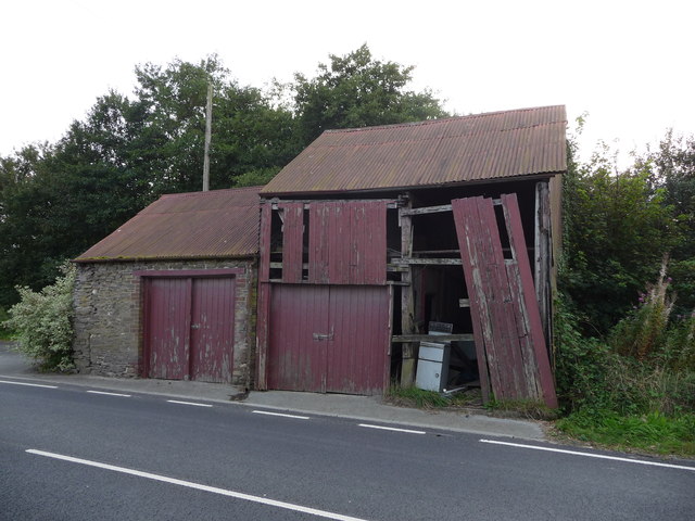
The village is known for its rich mining history, particularly in the 19th and early 20th centuries. It was once a thriving lead mining community, with several mines operating in the area. Today, remnants of this industrial past can still be seen, such as the old mine shafts and buildings that dot the landscape.
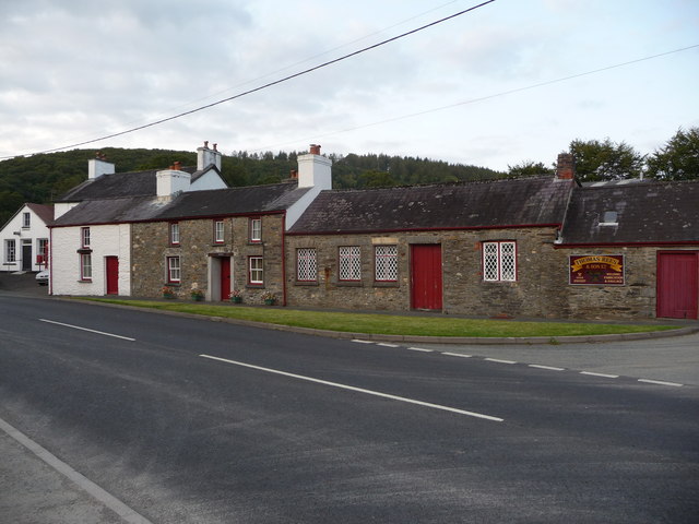
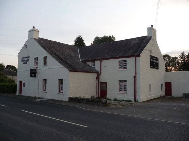
Despite its small size, Pumpsaint offers a range of amenities to its residents and visitors. The village has a pub, which serves as a social hub for locals and tourists alike, providing a cozy atmosphere and traditional Welsh hospitality. Additionally, there are a few bed and breakfast establishments available for those looking to spend a night or two in the area.
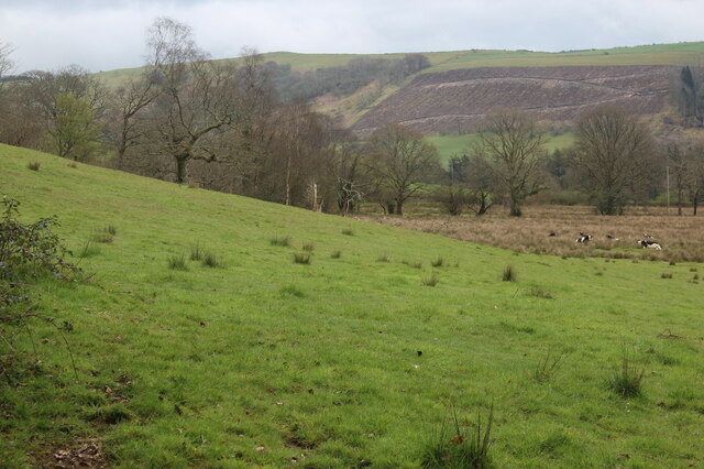
The natural beauty surrounding Pumpsaint is a major draw for visitors. The village is surrounded by lush green hills, picturesque valleys, and scenic walking trails. The nearby Brechfa Forest is a popular destination for outdoor activities, including hiking, cycling, and horse riding.
Overall, Pumpsaint provides a peaceful and idyllic escape from the hustle and bustle of city life. Its mining history, stunning landscapes, and warm community spirit make it a charming place to visit and explore.
If you have any feedback on the listing, please let us know in the comments section below.
Pumpsaint Images
Images are sourced within 2km of 52.04835/-3.959168 or Grid Reference SN6540. Thanks to Geograph Open Source API. All images are credited.
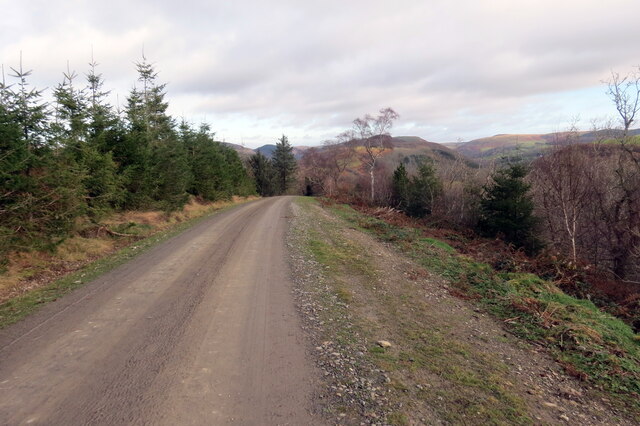
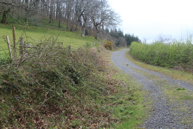
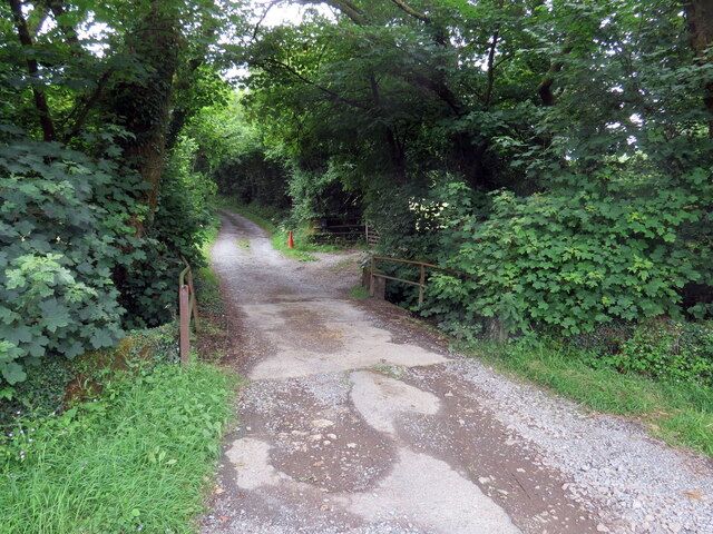
![Llwybr yn gadael yr heol / Path exiting the road Llwybr yn gadael heol fach ger Mwyngloddiau Aur Dolaucothi.
Path exiting a minor road near the Dolaucothi Goldmines (trans. Cothi [river] meadows).](https://s0.geograph.org.uk/geophotos/07/03/08/7030836_ae53f00f.jpg)
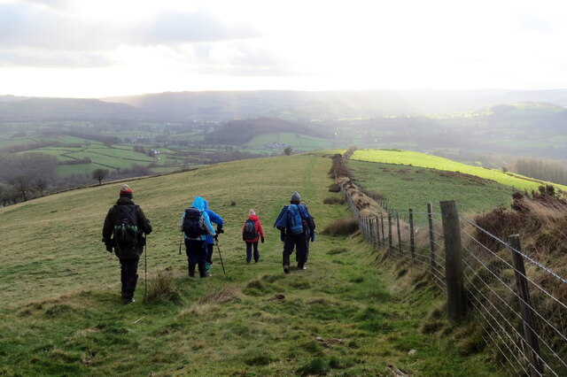
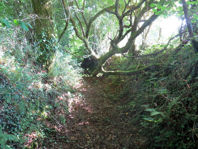
![Llwybr Bryneglwys Fawr / Bryneglwys Fawr path Llwybr cyhoeddus yn mynd i lawr y waered ger Ffarm Bryneglwys Fawr,
A public footpath descends the hill near Bryneglwys Fawr (trans. the larger church hill [farm]).](https://s3.geograph.org.uk/geophotos/07/26/59/7265995_93511851.jpg)
Pumpsaint is located at Grid Ref: SN6540 (Lat: 52.04835, Lng: -3.959168)
Unitary Authority: Carmarthenshire
Police Authority: Dyfed Powys
Also known as: Pumsaint
What 3 Words
///hotspots.printout.grumble. Near Llansawel, Carmarthenshire
Nearby Locations
Related Wikis

Pumsaint
Pumsaint is a village in Carmarthenshire, Wales, halfway between Llanwrda and Lampeter on the A482 in the valley of the Afon Cothi. It forms part of the...

Afon Twrch, Carmarthenshire
The Afon Twrch is a short river in Carmarthenshire, West Wales. It joins the River Cothi (itself a left-bank tributary of the River Towy) at the village...

Luentinum
Luentinum or Loventium refers to the Roman fort at Pumsaint, Carmarthenshire. The 1.9 hectares (4.7 acres) site lies either side of the A482 in Pumsaint...

Dolaucothi Estate
The Dolaucothi Estate (also Dolaucothy) is situated about 1 mile (1.6 km) north-west of the village of Caio up the Cothi Valley in the community of Cynwyl...
Nearby Amenities
Located within 500m of 52.04835,-3.959168Have you been to Pumpsaint?
Leave your review of Pumpsaint below (or comments, questions and feedback).