Coed Troedrhiwlwba

Wood, Forest in Cardiganshire

Wales

Coed Troedrhiwlwba

Pretty in pink! Tafarn y Maes, Capel Bangor.
Pretty in pink! Credit: Eirian Evans

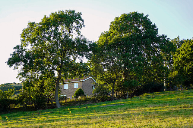
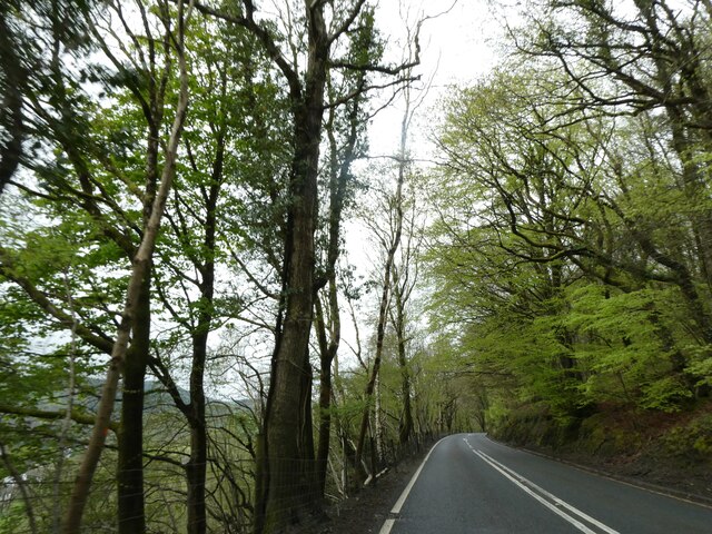
Coed Troedrhiwlwba is a picturesque wood located in the county of Cardiganshire, Wales. Nestled in the stunning rural landscape, this forest offers a serene and tranquil retreat for nature enthusiasts and outdoor adventurers alike.

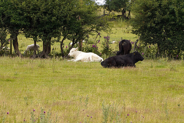
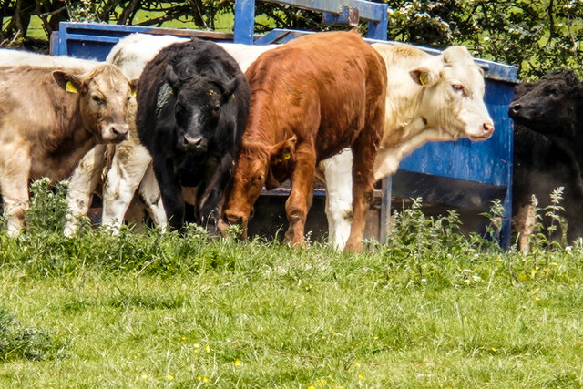
Spanning over an area of approximately 100 acres, Coed Troedrhiwlwba is characterized by its diverse array of trees, including oak, beech, and birch. The wood boasts a rich and vibrant ecosystem, supporting a wide range of flora and fauna. Visitors can expect to encounter a variety of woodland creatures, such as deer, squirrels, and a multitude of bird species.

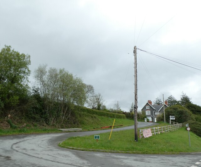
The wood is crisscrossed with numerous footpaths and trails, providing ample opportunities for hiking, walking, and exploring. The paths meander through the lush vegetation, offering breathtaking views of the surrounding countryside. Additionally, the wood is home to a small stream, which adds to the charm and tranquility of the area.

Coed Troedrhiwlwba is a popular destination for nature lovers due to its abundant wildlife and natural beauty. It serves as a haven for those seeking solace and relaxation in the midst of nature. The wood also plays a crucial role in conservation efforts, as it serves as a protected habitat for several endangered species.

Visitors to Coed Troedrhiwlwba can expect to experience the true essence of the Welsh countryside. Whether it's a leisurely stroll, a picnic amidst the trees, or simply taking in the sights and sounds of nature, this enchanting wood offers a truly memorable and rejuvenating experience for all who venture within its borders.

If you have any feedback on the listing, please let us know in the comments section below.

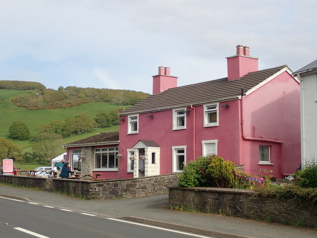
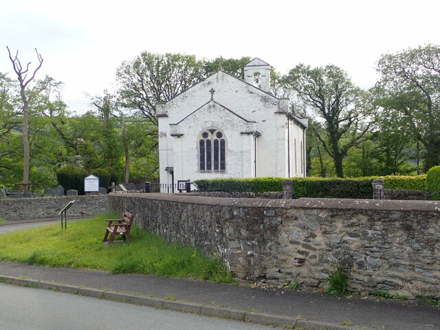
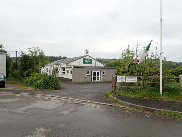
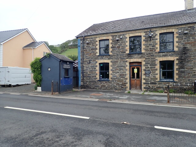
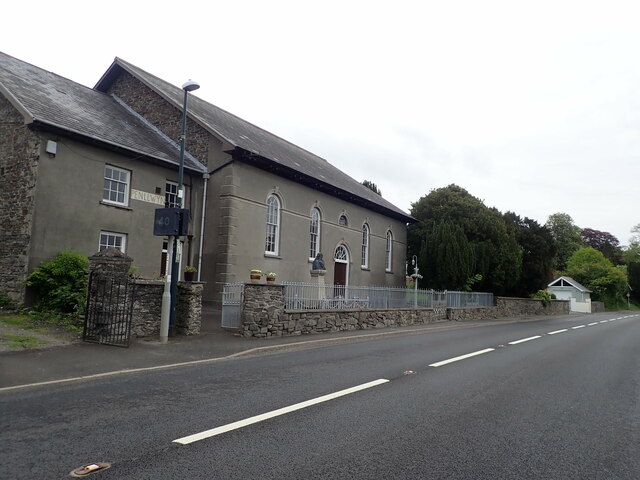
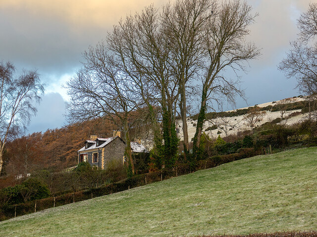
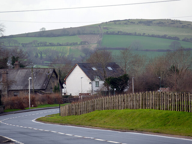
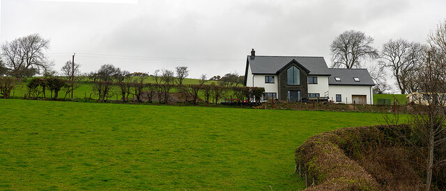
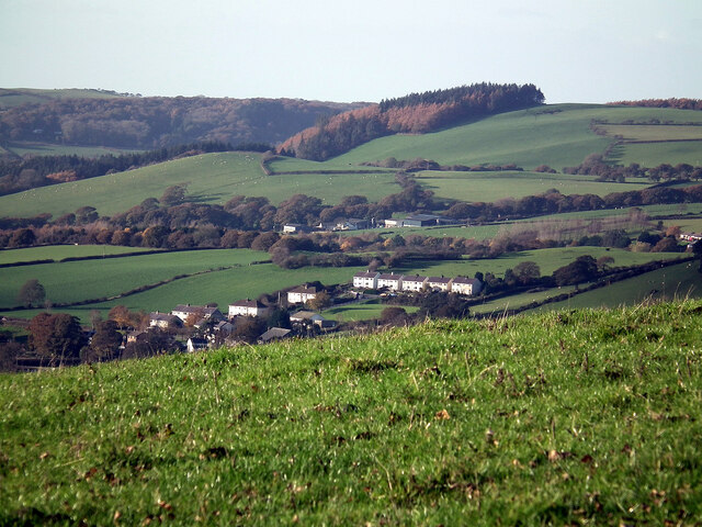
Coed Troedrhiwlwba Images

Images are sourced within 2km of 52.398857/-3.959379 or Grid Reference SN6679. Thanks to Geograph Open Source API. All images are credited.

Pretty in pink! Tafarn y Maes, Capel Bangor.
Pretty in pink!
Tafarn y Maes, Capel Bangor.
Eglwys Dewi Sant/St David's Church All services are bilingual here
Eglwys Dewi Sant/St David's Church
All services are bilingual here
Neuadd Penllwyn, Capel Bangor Village hall
Neuadd Penllwyn, Capel Bangor
Village hall
Tynllidiart Arms and attached Bragdy Gwynant The brewhouse, in the blue shed, laid claim to being the smallest brewery in the world. Both brewery and pub were closed at this time.
Tynllidiart Arms and attached Bragdy Gwynant
The brewhouse, in the blue shed, laid claim to being the smallest brewery in the world. Both brewery and pub were closed at this time.
Capel Penllwyn, Penllwyn Built in 1850
Capel Penllwyn, Penllwyn
Built in 1850
Relaxing at the Fron Young bulls, possibly steers, relaxing in the field at Fron Farm, Capel Bangor.
Relaxing at the Fron
Young bulls, possibly steers, relaxing in the field at Fron Farm, Capel Bangor.
Hay bales advertising the National Eisteddfod The 2022 event was held at Tregaron, July 30 - 6 August.
Hay bales advertising the National Eisteddfod
The 2022 event was held at Tregaron, July 30 - 6 August.
House on the hill in Capel Bangor Caught in evening sunshine.
House on the hill in Capel Bangor
Caught in evening sunshine.
House on the Hill Swyn Rheidol, Capel Bangor. With a smattering of snow in the fields behind.
House on the Hill
Swyn Rheidol, Capel Bangor. With a smattering of snow in the fields behind.
A quiet time on the A44 - New Year's Day With signs for the Cwm Rheidol Butterfly House being just visible.
A quiet time on the A44 - New Year's Day
With signs for the Cwm Rheidol Butterfly House being just visible.
New house at Fron Farm A self-build now almost complete.
New house at Fron Farm
A self-build now almost complete.
Penllwyn, Capel Bangor Ex-local authority housing estate, with Cwmwythig farm beyond, viewed from the top of Pant Da Wood.
Penllwyn, Capel Bangor
Ex-local authority housing estate, with Cwmwythig farm beyond, viewed from the top of Pant Da Wood.
Bust of Lewis Edwards outside Capel Penllwyn Lewis Edwards, born in Penllwyn in 1809, was a Calvinistic Methodist minister who played a significant part in the making of modern Wales through his preaching and teaching.
See <span class="nowrap"><a title="https://en.wikipedia.org/wiki/Lewis_Edwards" rel="nofollow ugc noopener" href="https://en.wikipedia.org/wiki/Lewis_Edwards">Link</a><img style="margin-left:2px;" alt="External link" title="External link - shift click to open in new window" src="https://s1.geograph.org.uk/img/external.png" width="10" height="10"/></span>
and <span class="nowrap"><a title="https://biography.wales/article/s-EDWA-LEW-1809#?c=0&m=0&s=0&cv=0&manifest=https%3A%2F%2Fdamsssl.llgc.org.uk%2Fiiif%2F2.0%2F1126375%2Fmanifest.json&xywh=1500%2C1230%2C1128%2C928" rel="nofollow ugc noopener" href="https://biography.wales/article/s-EDWA-LEW-1809#?c=0&m=0&s=0&cv=0&manifest=https%3A%2F%2Fdamsssl.llgc.org.uk%2Fiiif%2F2.0%2F1126375%2Fmanifest.json&xywh=1500%2C1230%2C1128%2C928">Link</a><img style="margin-left:2px;" alt="External link" title="External link - shift click to open in new window" src="https://s1.geograph.org.uk/img/external.png" width="10" height="10"/></span>
Bust of Lewis Edwards outside Capel Penllwyn
Lewis Edwards, born in Penllwyn in 1809, was a Calvinistic Methodist minister who played a significant part in the making of modern Wales through his preaching and teaching. See LinkExternal link and LinkExternal link
Bullocks at the Fron
Bus shelter by A44 in Penilwyn The A44 is a major road in the United Kingdom that runs for 155 miles from Oxford in southern England to Aberystwyth in west Wales.
<span class="nowrap"><a title="http://www.sabre-roads.org.uk/wiki/index.php?title=A44" rel="nofollow ugc noopener" href="http://www.sabre-roads.org.uk/wiki/index.php?title=A44">Link</a><img style="margin-left:2px;" alt="External link" title="External link - shift click to open in new window" src="https://s1.geograph.org.uk/img/external.png" width="10" height="10"/></span>  SABRE
<span class="nowrap"><a title="https://en.wikipedia.org/wiki/A44_road" rel="nofollow ugc noopener" href="https://en.wikipedia.org/wiki/A44_road">Link</a><img style="margin-left:2px;" alt="External link" title="External link - shift click to open in new window" src="https://s1.geograph.org.uk/img/external.png" width="10" height="10"/></span>  Wikipedia
Bus shelter by A44 in Penilwyn
The A44 is a major road in the United Kingdom that runs for 155 miles from Oxford in southern England to Aberystwyth in west Wales. LinkExternal link SABRE LinkExternal link Wikipedia
Side road off A44 in Maes-bangor The A44 is a major road in the United Kingdom that runs for 155 miles from Oxford in southern England to Aberystwyth in west Wales.
<span class="nowrap"><a title="http://www.sabre-roads.org.uk/wiki/index.php?title=A44" rel="nofollow ugc noopener" href="http://www.sabre-roads.org.uk/wiki/index.php?title=A44">Link</a><img style="margin-left:2px;" alt="External link" title="External link - shift click to open in new window" src="https://s1.geograph.org.uk/img/external.png" width="10" height="10"/></span>  SABRE
<span class="nowrap"><a title="https://en.wikipedia.org/wiki/A44_road" rel="nofollow ugc noopener" href="https://en.wikipedia.org/wiki/A44_road">Link</a><img style="margin-left:2px;" alt="External link" title="External link - shift click to open in new window" src="https://s1.geograph.org.uk/img/external.png" width="10" height="10"/></span>  Wikipedia
Side road off A44 in Maes-bangor
The A44 is a major road in the United Kingdom that runs for 155 miles from Oxford in southern England to Aberystwyth in west Wales. LinkExternal link SABRE LinkExternal link Wikipedia
A44 in woodland west of Goginan The A44 is a major road in the United Kingdom that runs for 155 miles from Oxford in southern England to Aberystwyth in west Wales.
<span class="nowrap"><a title="http://www.sabre-roads.org.uk/wiki/index.php?title=A44" rel="nofollow ugc noopener" href="http://www.sabre-roads.org.uk/wiki/index.php?title=A44">Link</a><img style="margin-left:2px;" alt="External link" title="External link - shift click to open in new window" src="https://s1.geograph.org.uk/img/external.png" width="10" height="10"/></span>  SABRE
<span class="nowrap"><a title="https://en.wikipedia.org/wiki/A44_road" rel="nofollow ugc noopener" href="https://en.wikipedia.org/wiki/A44_road">Link</a><img style="margin-left:2px;" alt="External link" title="External link - shift click to open in new window" src="https://s1.geograph.org.uk/img/external.png" width="10" height="10"/></span>  Wikipedia
A44 in woodland west of Goginan
The A44 is a major road in the United Kingdom that runs for 155 miles from Oxford in southern England to Aberystwyth in west Wales. LinkExternal link SABRE LinkExternal link Wikipedia
St David's church, Capel Bangor
Show me another place!

Coed Troedrhiwlwba is located at Grid Ref: SN6679 (Lat: 52.398857, Lng: -3.959379)

Unitary Authority: Ceredigion

Police Authority: Dyfed Powys

What 3 Words

///seasons.admiringly.weeds. Near Llanilar, Ceredigion

Nearby Locations

Coed Troedrhiwlwba

Related Wikis

Capel Bangor

Capel Bangor (Welsh: Penllwyn) is a small village in Ceredigion, Wales, approximately 5 miles (8.0 km) east of Aberystwyth. The A44 road and the seasonal...

Dol-y-pandy

Dol-y-pandy is a hamlet in the community of Melindwr, Ceredigion, Wales, which is 72.1 miles (116 km) from Cardiff and 174.9 miles (281.5 km) from London...

Maes-bangor

Maes-bangor is a hamlet in the community of Melindwr, Ceredigion, Wales, which is 72.2 miles (116.1 km) from Cardiff and 174.9 miles (281.4 km) from London...

Afon Rheidol

Afon Rheidol (Welsh pronunciation: [ˈr̥ei̯dɔl]; also known as the River Rheidol) is a river in Ceredigion, Wales, 19 miles (31 km) in length. The source...

Nearby Amenities

Located within 500m of 52.398857,-3.959379
Power: pole
Source: bing
Lat/Long: 52.3965927/-3.9563012
Power: pole
Source: bing
Lat/Long: 52.3965468/-3.9592302
Power: pole
Source: bing
Lat/Long: 52.3973881/-3.9529699
Power: pole
Source: bing
Lat/Long: 52.3968071/-3.9608985
Power: pole
Source: bing
Lat/Long: 52.3974863/-3.9656085
Power: pole
Source: bing
Lat/Long: 52.3970869/-3.9539409
Power: pole
Source: bing
Lat/Long: 52.3967171/-3.9555502
Power: pole
Source: bing
Lat/Long: 52.3963374/-3.9578462
Power: pole
Source: bing
Lat/Long: 52.3969855/-3.9620358
Power: pole
Source: bing
Lat/Long: 52.3973603/-3.9644981
Power: pole
Source: bing
Lat/Long: 52.3972081/-3.9634332
Power: pole
Source: bing
Lat/Long: 52.3968349/-3.9547563
The data included in this document is from www.openstreetmap.org. The data is made available under ODbL.

Have you been to Coed Troedrhiwlwba?

Leave your review of Coed Troedrhiwlwba below (or comments, questions and feedback).