Allt Cwm-dyfiog

Wood, Forest in Carmarthenshire

Wales

Allt Cwm-dyfiog

Cyffordd o draciau / A junction of tracks Cyffordd o draciau yn Allt Cwm-dyfiog.

A junction of tracks at Allt Cwm-dyfiog
Cyffordd o draciau / A junction of tracks Credit: Alan Richards

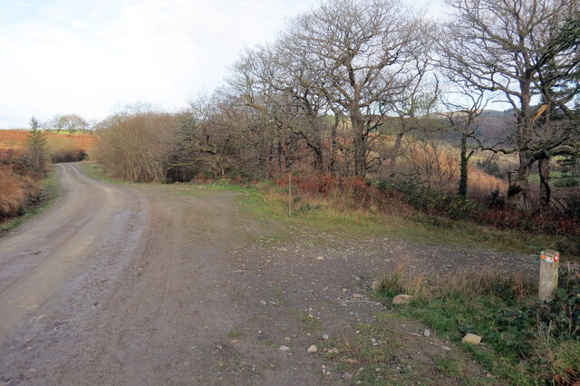
Allt Cwm-dyfiog is a picturesque wood located in Carmarthenshire, Wales. Covering an area of approximately 100 acres, this forested area is known for its natural beauty and diverse range of flora and fauna.

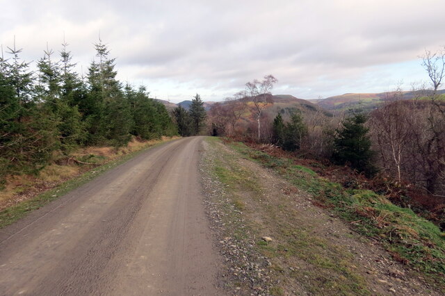
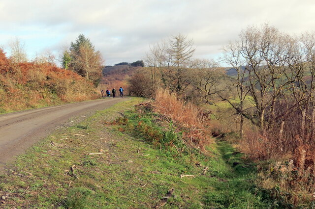
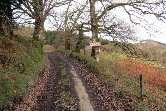
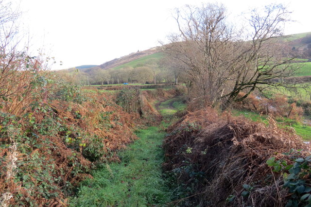
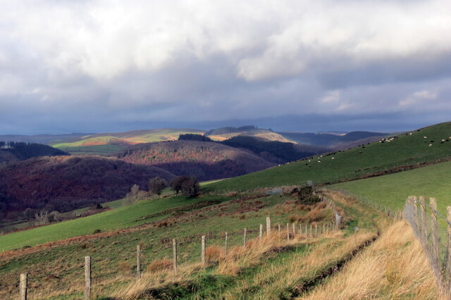
The wood is situated on the western slopes of the Cwm-dyfiog Valley, surrounded by rolling hills and breathtaking scenery. It is easily accessible by foot and offers a variety of walking trails, making it a popular destination for nature enthusiasts and hikers.

The forest is dominated by a mix of broadleaf trees, including oak, ash, and beech, which create a dense canopy, providing shade and shelter for a wide range of wildlife. Visitors to Allt Cwm-dyfiog may be fortunate enough to spot red squirrels, badgers, and a variety of bird species, including woodpeckers and owls.

In addition to its natural beauty, Allt Cwm-dyfiog also has historical significance. The wood was once part of a larger estate and is home to the ruins of an old hunting lodge, which adds a sense of mystery and intrigue to the area.

The wood is managed by a local conservation organization, which works to preserve its natural habitats and protect the delicate ecosystem. Efforts have been made to maintain the integrity of the woodland, ensuring that it remains a haven for wildlife and a place of tranquility for visitors.

Allt Cwm-dyfiog is a hidden gem in Carmarthenshire, offering a peaceful retreat from the hustle and bustle of daily life and allowing visitors to reconnect with nature in a truly enchanting setting.

If you have any feedback on the listing, please let us know in the comments section below.

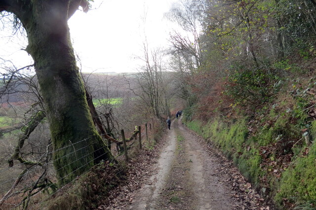
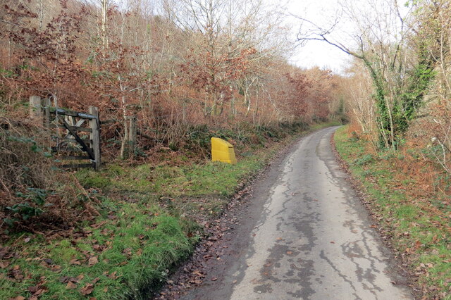
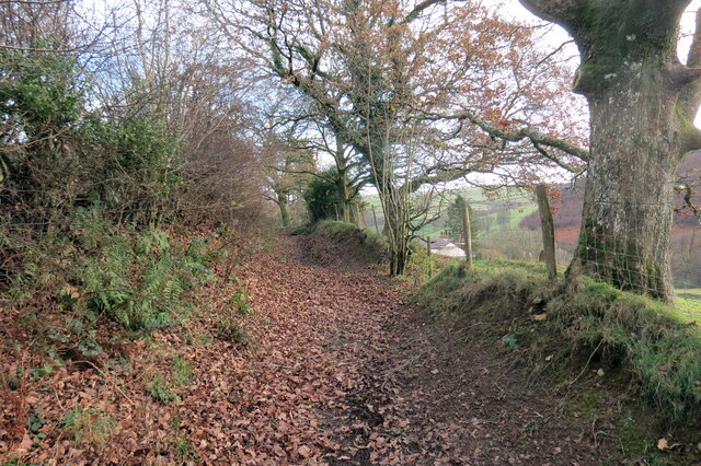
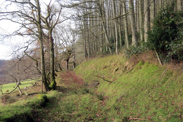
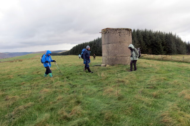
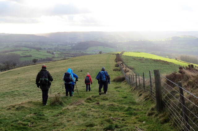
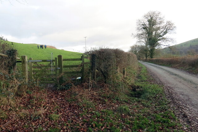
Allt Cwm-dyfiog Images

Images are sourced within 2km of 52.064966/-3.9449596 or Grid Reference SN6642. Thanks to Geograph Open Source API. All images are credited.
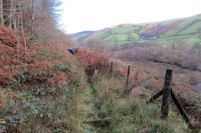
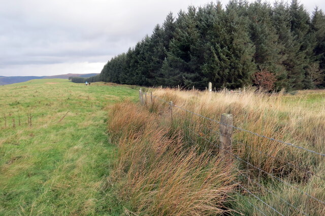
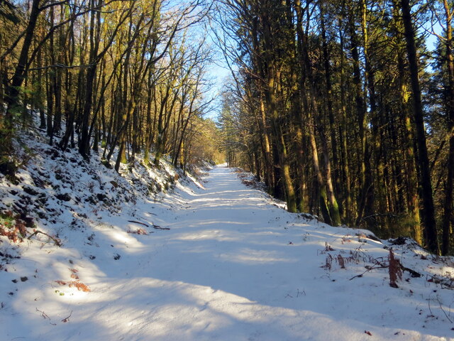
Cyffordd o draciau / A junction of tracks Cyffordd o draciau yn Allt Cwm-dyfiog.

A junction of tracks at Allt Cwm-dyfiog
Cyffordd o draciau / A junction of tracks
Cyffordd o draciau yn Allt Cwm-dyfiog. A junction of tracks at Allt Cwm-dyfiog
Trac y goedwigaeth / Forestry track Trac y goedwigaeth ger Penlan-dolau.

A forestry track near Penlan-dolau (trans. hilltop of meadows)
Trac y goedwigaeth / Forestry track
Trac y goedwigaeth ger Penlan-dolau. A forestry track near Penlan-dolau (trans. hilltop of meadows)
Allt Cwm-dyfiog Llwybr cyhoeddus yn gadael y trac yn Allt Cwm-dyfiog.

A public footpath exits the track at Allt Cwm-dyfiog.
Allt Cwm-dyfiog
Llwybr cyhoeddus yn gadael y trac yn Allt Cwm-dyfiog. A public footpath exits the track at Allt Cwm-dyfiog.
Heol ger Bwlch-y-gilwen / Road near Bwlch-y-gilwen Heol fach ger anhedd-dy o'r enw Bwlch-y-gilwen.

A minor road near a property known as Bwlch-y-gilwen (trans. white nook pass)
Heol ger Bwlch-y-gilwen / Road near Bwlch-y-gilwen
Heol fach ger anhedd-dy o'r enw Bwlch-y-gilwen. A minor road near a property known as Bwlch-y-gilwen (trans. white nook pass)
Heol yn Allt Bwlch-y-gilwen / A road at Allt Bwlch-y-gilwen Heol fach yn mynd i lawr y waered yn Allt Bwlch-y-gilwen.

A minor road descending the hill at Allt Bwlch-y-gilwen (trans. fair nook pass).
Heol yn Allt Bwlch-y-gilwen / A road at Allt Bwlch-y-gilwen
Heol fach yn mynd i lawr y waered yn Allt Bwlch-y-gilwen. A minor road descending the hill at Allt Bwlch-y-gilwen (trans. fair nook pass).
Llwybr Allt Bwlch-y-gelain / Allt Bwlch-y-gelain Llwybr yn gadael yr heol fach o dan Allt Bwlch-y-gilwen.

A path exits the road beneath Allt Bwlch-y-gilwen.
Llwybr Allt Bwlch-y-gelain / Allt Bwlch-y-gelain
Llwybr yn gadael yr heol fach o dan Allt Bwlch-y-gilwen. A path exits the road beneath Allt Bwlch-y-gilwen.
Llwybr Aber-Mangoed / Aber-Mangoed path Llwybr yn mynd i gyfeiriad Ffarm Aber-Mangoed.

A path heading in the direction of Aber-Mangoed Farm.
 (trans. confluence of the Mangoed stream).
Llwybr Aber-Mangoed / Aber-Mangoed path
Llwybr yn mynd i gyfeiriad Ffarm Aber-Mangoed. A path heading in the direction of Aber-Mangoed Farm. (trans. confluence of the Mangoed stream).
Llwybr Aber-Mangoed / Aber-Mangoed path Llwybr yn mynd i gyfeiriad Ffarm Aber-Mangoed.

A path heading towards Aber-Mangoed Farm (trans. confluence of the Mangoed stream).
Llwybr Aber-Mangoed / Aber-Mangoed path
Llwybr yn mynd i gyfeiriad Ffarm Aber-Mangoed. A path heading towards Aber-Mangoed Farm (trans. confluence of the Mangoed stream).
Llwybr Aber-Mangoed / Aber-Mangoed path Cerddwyr yn dilyn llwybr o dan Allt Aber-Mangoed.

Walkers following a path below Allt Aber-Mangoed (trans. wooded slope near the confluence of the Mangoed stream).
Llwybr Aber-Mangoed / Aber-Mangoed path
Cerddwyr yn dilyn llwybr o dan Allt Aber-Mangoed. Walkers following a path below Allt Aber-Mangoed (trans. wooded slope near the confluence of the Mangoed stream).
Llwybr ger Ffarm Brynteg / Path near Brynteg Farm Llwybr yn agosau at yr heol ger Ffarm Brynteg.

A path approaches the road near Brynteg Farm (trans. fairhill).
Llwybr ger Ffarm Brynteg / Path near Brynteg Farm
Llwybr yn agosau at yr heol ger Ffarm Brynteg. A path approaches the road near Brynteg Farm (trans. fairhill).
Hen heol i Gwmcothi  / Old road to Cwmcothi Hen heol sy wedi ei hisraddio i lwybr troed yn mynd i lawr y waered i gyfeiriad Cwmcothi.

An old road now downgraded to a footpath descends the hill towards Cwmcothi (trans. Cothi valley).
Hen heol i Gwmcothi / Old road to Cwmcothi
Hen heol sy wedi ei hisraddio i lwybr troed yn mynd i lawr y waered i gyfeiriad Cwmcothi. An old road now downgraded to a footpath descends the hill towards Cwmcothi (trans. Cothi valley).
Llwybr ger Drysallt / A path near Drysallt Llwybr caniataol ar gefen yn Nrysallt.

A permissive path on a ridge at Drysallt (trans. A wooded slope abounding with brambles).
Llwybr ger Drysallt / A path near Drysallt
Llwybr caniataol ar gefen yn Nrysallt. A permissive path on a ridge at Drysallt (trans. A wooded slope abounding with brambles).
Drysallt Ucheldir yn gymysg o dir porfa a phlanhigfa gonifferaidd.  

Upland consisting of pasture and a conifer plantation.
Drysallt
Ucheldir yn gymysg o dir porfa a phlanhigfa gonifferaidd. Upland consisting of pasture and a conifer plantation.
Twr dwr ar ucheldir / Upland water tower Cerddwyr o amgylch twr dwr ar gefnen.

Walkers at a water tower located on a ridge.
Twr dwr ar ucheldir / Upland water tower
Cerddwyr o amgylch twr dwr ar gefnen. Walkers at a water tower located on a ridge.
I lawr y gefnen / Descending the ridge Cerddwyr yn dilyn llwybr caniataol wrth iddo fynd i lawr y waered.

Walkers following a permissive path as it descends the hill.
I lawr y gefnen / Descending the ridge
Cerddwyr yn dilyn llwybr caniataol wrth iddo fynd i lawr y waered. Walkers following a permissive path as it descends the hill.
Llwybr yn gadael heol fynedfa / Path exits an access road Llwybr cyhoeddus yn gadael trac ger Ffarm Dolaucothi.

A public footpath exits a track near Dolaucothi Farm (trans. meadows of the river Cothi).
Llwybr yn gadael heol fynedfa / Path exits an access road
Llwybr cyhoeddus yn gadael trac ger Ffarm Dolaucothi. A public footpath exits a track near Dolaucothi Farm (trans. meadows of the river Cothi).
Drysallt Llwybr troed cyhoeddus yn dringo Drysallt.

A public footpath ascends Drysallt (trans. wooded hillside of brambles).
Drysallt
Llwybr troed cyhoeddus yn dringo Drysallt. A public footpath ascends Drysallt (trans. wooded hillside of brambles).
Llwybr uwchben Caio / Path above Caio Llwybr cyhoeddus uwchben Caio ac yn sy'n mynd i gyfeiriad Cwm Cothi.

A public footpath above the village of Caio and heading towards Cwm Cothi (trans. [river] Cothi valley).
Llwybr uwchben Caio / Path above Caio
Llwybr cyhoeddus uwchben Caio ac yn sy'n mynd i gyfeiriad Cwm Cothi. A public footpath above the village of Caio and heading towards Cwm Cothi (trans. [river] Cothi valley).
Show me another place!

Allt Cwm-dyfiog is located at Grid Ref: SN6642 (Lat: 52.064966, Lng: -3.9449596)

Unitary Authority: Carmarthenshire

Police Authority: Dyfed Powys

What 3 Words

///affair.diets.differ. Near Llansawel, Carmarthenshire

Related Wikis

Cynwyl Gaeo

Cynwyl Gaeo is a parish and community located in rural Carmarthenshire, Wales, near the boundary with Ceredigion, in the upper Cothi valley about halfway...

Dolaucothi Estate

The Dolaucothi Estate (also Dolaucothy) is situated about 1 mile (1.6 km) north-west of the village of Caio up the Cothi Valley in the community of Cynwyl...

Pumsaint

Pumsaint is a village in Carmarthenshire, Wales, halfway between Llanwrda and Lampeter on the A482 in the valley of the Afon Cothi. It forms part of the...

Dolaucothi Gold Mines

The Dolaucothi Gold Mines (pronounced [ˌdɔlaiˈkɔθɪ]; Welsh: Mwynfeydd Aur Dolaucothi) (grid reference SN662403), also known as the Ogofau Gold Mine, are...

Afon Twrch, Carmarthenshire

The Afon Twrch is a short river in Carmarthenshire, West Wales. It joins the River Cothi (itself a left-bank tributary of the River Towy) at the village...

Luentinum

Luentinum or Loventium refers to the Roman fort at Pumsaint, Carmarthenshire. The 1.9 hectares (4.7 acres) site lies either side of the A482 in Pumsaint...

Caio, Carmarthenshire

Caio (or Caeo) is a village in the county of Carmarthenshire, south-west Wales, sited near to the Dolaucothi Gold Mines. == Location == It is located between...

Ffarmers

Ffarmers is a village near Lampeter, in the north of Carmarthenshire, Wales. It was named after the old "Farmers' Arms" public house, which is now closed...

Nearby Amenities

Located within 500m of 52.064966,-3.9449596
Ford: yes
Lat/Long: 52.0682165/-3.9405961
The data included in this document is from www.openstreetmap.org. The data is made available under ODbL.

Have you been to Allt Cwm-dyfiog?

Leave your review of Allt Cwm-dyfiog below (or comments, questions and feedback).