Burnworthy

Settlement in Devon Somerset West and Taunton

England

Burnworthy

Pitminster : Lowton Road Lowton Road off Blackdown Hill.
Pitminster : Lowton Road Credit: Lewis Clarke

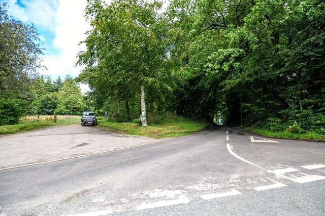
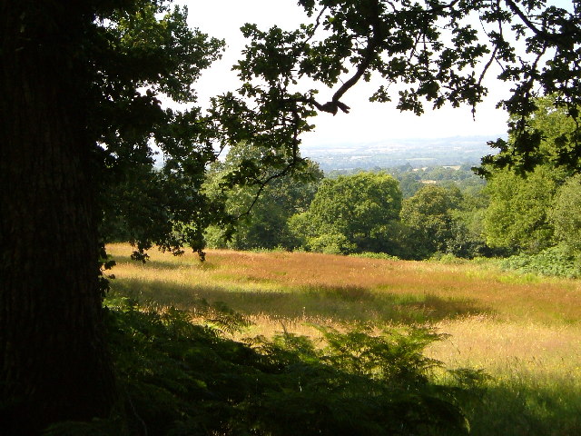
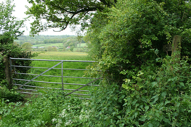
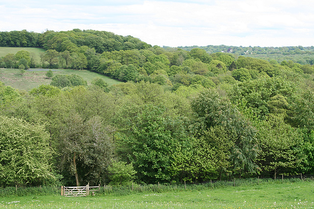
Burnworthy is a small village located in the county of Devon, England. It is situated in the picturesque Blackdown Hills, an Area of Outstanding Natural Beauty, and is surrounded by rolling hills, lush green fields, and dense woodlands. The village is part of the district of Taunton Deane and is approximately 10 miles east of the town of Taunton.

The history of Burnworthy can be traced back to medieval times, and it is believed that the village was originally established as a farming community. Today, it remains predominantly rural, with a small population of residents who enjoy the tranquility and beauty of the countryside.

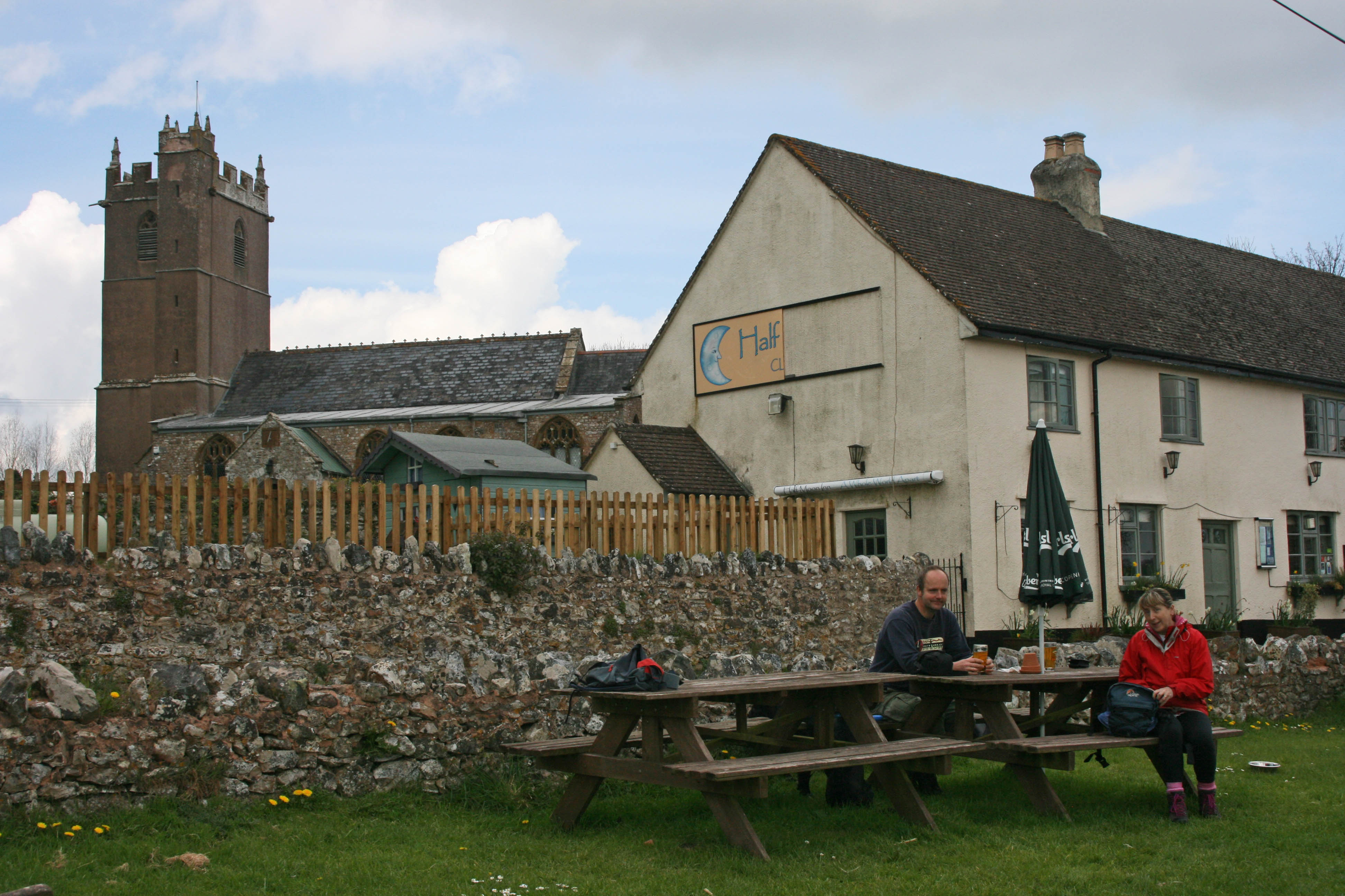
The village is characterized by its charming thatched-roof cottages, some of which date back several centuries. The local church, St. Mary's, is a notable landmark with its distinctive Norman architecture and serves as a place of worship for the community.

Although Burnworthy is primarily a residential area, it is close to several amenities and attractions. The nearby town of Taunton offers a wide range of shops, restaurants, and leisure facilities. The Blackdown Hills provide ample opportunities for outdoor activities such as hiking, cycling, and horseback riding.

Overall, Burnworthy is a peaceful and picturesque village in the heart of Devon, offering residents and visitors a chance to experience the natural beauty and tranquility of the English countryside.

If you have any feedback on the listing, please let us know in the comments section below.

Burnworthy Images

Images are sourced within 2km of 50.936978/-3.156418 or Grid Reference ST1815. Thanks to Geograph Open Source API. All images are credited.

Pitminster : Lowton Road Lowton Road off Blackdown Hill.
Pitminster : Lowton Road
Lowton Road off Blackdown Hill.
Pitminster : Woodland Woodland seen off Blackdown Hill.
Pitminster : Woodland
Woodland seen off Blackdown Hill.
Pitminster : Blackdown Hill Looking along the road.
Pitminster : Blackdown Hill
Looking along the road.
Pitminster : Blackdown Hill Looking along Blackdown Hill.
Pitminster : Blackdown Hill
Looking along Blackdown Hill.
Pitminster : Track A track heading off Blackdown Hill to Sheep Wash.
Pitminster : Track
A track heading off Blackdown Hill to Sheep Wash.
Quants Nature Reserve Hidden within steep woods on the north-facing slopes of the Blackdown Hills, this meadow forms part of Quants SSSI, rich in plants indicative of ancient woodland, butterflies and other fauna
Quants Nature Reserve
Hidden within steep woods on the north-facing slopes of the Blackdown Hills, this meadow forms part of Quants SSSI, rich in plants indicative of ancient woodland, butterflies and other fauna
Woodland meadow near Farm Wood Bungalow Here the lower north-facing slopes of the Blackdown Hills form a patchwork of woods (here oak) and fields. Looking northwards, with a view across the Vale of Taunton Deane in the background.
Woodland meadow near Farm Wood Bungalow
Here the lower north-facing slopes of the Blackdown Hills form a patchwork of woods (here oak) and fields. Looking northwards, with a view across the Vale of Taunton Deane in the background.
Churchstanton:  church of St Peter and St Paul Tower of the parish church seen from the north west
Churchstanton: church of St Peter and St Paul
Tower of the parish church seen from the north west
Churchstanton: lane to Court Farm Looking west-north-west
Churchstanton: lane to Court Farm
Looking west-north-west
Churchstanton: near Courtsmoor Farm Start of a public footpath providing a shortcut across fields. Lear’s Farm in the distance. The public footpath sign is almost lost amongst the foliage
Churchstanton: near Courtsmoor Farm
Start of a public footpath providing a shortcut across fields. Lear’s Farm in the distance. The public footpath sign is almost lost amongst the foliage
Churchstanton: Ringdown Nature Reserve A 59-acre site acquired by the Somerset Wildlife Trust in 1998. It runs down to a tributary of the river Culm. The estate includes wet woodland, marshy grassland, spring line mire and improved grassland. Orchids and butterwort feature together with devils bit scabious and bog asphodel. Woodcock and snipe can be seen here in the winter
Churchstanton: Ringdown Nature Reserve
A 59-acre site acquired by the Somerset Wildlife Trust in 1998. It runs down to a tributary of the river Culm. The estate includes wet woodland, marshy grassland, spring line mire and improved grassland. Orchids and butterwort feature together with devils bit scabious and bog asphodel. Woodcock and snipe can be seen here in the winter
Churchstanton: Downlands Lane Looking north
Churchstanton: Downlands Lane
Looking north
Pitminster: road by Mount Pleasant This route links Wellington with the A303 at Yarcombe and for much of its length runs in a series of straight sections. The bends at Mount Pleasant are untypical. Looking east-south-east
Pitminster: road by Mount Pleasant
This route links Wellington with the A303 at Yarcombe and for much of its length runs in a series of straight sections. The bends at Mount Pleasant are untypical. Looking east-south-east
Clayhidon: farmhouse at Wilton Cross Looking north. Note spelling: Wilton Cross but Wiltown valley and Wiltown farm
Clayhidon: farmhouse at Wilton Cross
Looking north. Note spelling: Wilton Cross but Wiltown valley and Wiltown farm
Clayhidon: footpath to Ringdown Common Seen from Applehayes Lane and looking east over the Wiltown Valley. Brimley Hill is in the distance, right
Clayhidon: footpath to Ringdown Common
Seen from Applehayes Lane and looking east over the Wiltown Valley. Brimley Hill is in the distance, right
Clayhidon: Hidewood Lane ford The ford through the river Culm marks the parish boundary with Churchstanton and the county boundary between Devon and Somerset. Looking south east
Clayhidon: Hidewood Lane ford
The ford through the river Culm marks the parish boundary with Churchstanton and the county boundary between Devon and Somerset. Looking south east
Churchstanton: former inn Shown as a public house on the Ordnance Survey 1:25,000 map (1987 edition), but clearly the buildings have seen better days. Together with the church and rectory this building once formed the centre of the parish; in fact Stapley, within the parish, is really more of a focus for the place. Looking east-north-east
Churchstanton: former inn
Shown as a public house on the Ordnance Survey 1:25,000 map (1987 edition), but clearly the buildings have seen better days. Together with the church and rectory this building once formed the centre of the parish; in fact Stapley, within the parish, is really more of a focus for the place. Looking east-north-east
Clayhidon: by the entrance to Great Garlandhayes Farm Looking east-north-east on the lane from Bearpark Corner
Clayhidon: by the entrance to Great Garlandhayes Farm
Looking east-north-east on the lane from Bearpark Corner
Show me another place!

Burnworthy is located at Grid Ref: ST1815 (Lat: 50.936978, Lng: -3.156418)

Administrative County: Somerset

District: Somerset West and Taunton

Police Authority: Avon and Somerset

What 3 Words

///preheated.supreme.terminology. Near Hemyock, Devon

Related Wikis

Ringdown SSSI, Somerset

Ringdown (grid reference ST178155) is a 4.0 hectare (9.9 acre) biological Site of Special Scientific Interest west of Burnworthy in the Blackdown Hills...

Churchstanton

Churchstanton is a village and civil parish in Somerset, England, situated within the Blackdown Hills Area of Outstanding Natural Beauty, on the River...

Quants Reserve

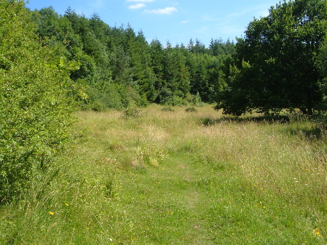
Quants Reserve is a nature reserve north west of Burnworthy in Somerset, England. It consists of a grassland clearing in a forestry plantation. It is well...

Leigh Reservoir

Leigh Reservoir, or Leigh Hill Reservoir, is a small reservoir in Somerset, England. It was built in 1893 to supply water to the town of Taunton, Somerset...

RAF Culmhead

Royal Air Force Culmhead or more simply RAF Culmhead is a former Royal Air Force station, situated at Churchstanton on the Blackdown Hills in Somerset...

Luxhay Reservoir

Luxhay Reservoir is an artificial reservoir near Angersleigh, Somerset, England. It is now owned by Wessex Water. It was built in 1905 by the town corporation...

Clayhidon

Clayhidon () is a village and civil parish in Mid Devon, England. The parish church is St. Andrews. The parish is in the Blackdown Hills and its northern...

Church of St Michael, Angersleigh

The Anglican Church of St Michael in Angersleigh, Somerset, England was built in the 14th century. It is a Grade II* listed building. == History == The...

Have you been to Burnworthy?

Leave your review of Burnworthy below (or comments, questions and feedback).