Burnwynd

Settlement in Midlothian

Scotland

Burnwynd

Parkland trees at Easter Newton Presumably a legacy of Kirknewton House, which is shown on the map to have a large area of estate to the east.
Parkland trees at Easter Newton Credit: M J Richardson

Burnwynd is a small rural hamlet located in Midlothian, Scotland. Situated near the town of Gorebridge, it is known for its picturesque countryside and peaceful surroundings. The area is predominantly residential, with a mix of traditional stone cottages and newer housing developments.

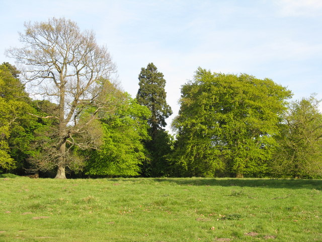
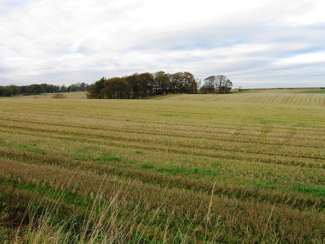
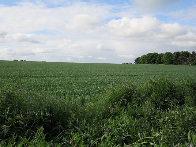
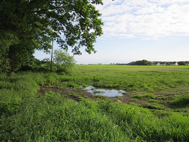
The hamlet is surrounded by rolling hills and farmland, offering residents stunning views of the countryside. Despite its rural location, Burnwynd is well-connected to nearby towns and cities such as Edinburgh, making it a popular choice for those looking to escape the hustle and bustle of urban life.

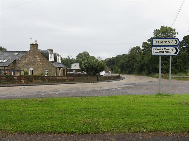
Local amenities in Burnwynd are limited, with most residents travelling to nearby towns for shopping and services. However, the close-knit community in the hamlet ensures a strong sense of community spirit and support amongst residents.

Overall, Burnwynd offers a peaceful and idyllic setting for those looking to enjoy the tranquility of rural Scotland, while still being within easy reach of urban amenities.

If you have any feedback on the listing, please let us know in the comments section below.

Burnwynd Images

Images are sourced within 2km of 55.90176/-3.3881762 or Grid Reference NT1368. Thanks to Geograph Open Source API. All images are credited.

Parkland trees at Easter Newton Presumably a legacy of Kirknewton House, which is shown on the map to have a large area of estate to the east.
Parkland trees at Easter Newton
Presumably a legacy of Kirknewton House, which is shown on the map to have a large area of estate to the east.
Solar panels at Easter Newton A large domestic array of solar panels adjacent to a house at Easter Newton, and protection for a newly planted hedge.
Solar panels at Easter Newton
A large domestic array of solar panels adjacent to a house at Easter Newton, and protection for a newly planted hedge.
Parkland trees near Kirknewton Near Easter Newton farm, and presumably part of the grounds of Kirknewton House at some time in the past.
Parkland trees near Kirknewton
Near Easter Newton farm, and presumably part of the grounds of Kirknewton House at some time in the past.
Energy gathering at Easter Newton Two trees [oak and beech[?]], and a bank of solar panels.
Energy gathering at Easter Newton
Two trees [oak and beech[?]], and a bank of solar panels.
Electricity sub-station at Easter Newton
Dalmahoy Hill Looking south from Long Dalmahoy Road, with heaps of 'road metal' from the quarry at the base.
Dalmahoy Hill
Looking south from Long Dalmahoy Road, with heaps of 'road metal' from the quarry at the base.
Dalmahoy Hill and Tarmac Quarry buildings The quarry is identified as Ravelrig Quarry on the current OS 1:25000 map, and is in the next square to the SE. It is a huge hole <a href="https://www.geograph.org.uk/photo/887642">NT1466 : Dalmahoy Quarry</a> and was not there when I last went up the hill in the 1970s; it is also not on the 2001 edition of the map.
Dalmahoy Hill and Tarmac Quarry buildings
The quarry is identified as Ravelrig Quarry on the current OS 1:25000 map, and is in the next square to the SE. It is a huge hole NT1466 : Dalmahoy Quarry and was not there when I last went up the hill in the 1970s; it is also not on the 2001 edition of the map.
Entrance to Wilkieston
Fields west of Wilkieston
Hardstanding beside the railway Marked on the map as a waste transfer station but looking hardly used now. One of the Dalmahoy quarries was filled in by a landfill site, so the waste may have all gone below the ground by now.
Hardstanding beside the railway
Marked on the map as a waste transfer station but looking hardly used now. One of the Dalmahoy quarries was filled in by a landfill site, so the waste may have all gone below the ground by now.
Railway west of Edinburgh The railway runs to Carstairs as part of the West Coast Mainline with a non electric branch heading to Glasgow via Shotts. These are two of the four routes between Glasgow and Edinburgh.
Railway west of Edinburgh
The railway runs to Carstairs as part of the West Coast Mainline with a non electric branch heading to Glasgow via Shotts. These are two of the four routes between Glasgow and Edinburgh.
Wheat, Bonnington Mains
A wet edge to a field Not the best drainage at this side of a large field by Linburn.
A wet edge to a field
Not the best drainage at this side of a large field by Linburn.
Cow and calf, Kirknewton The field runs steeply down from the Edinburgh to Carlisle railway. It is grassland not a wood as is mapped by the Ordnance Survey.
Cow and calf, Kirknewton
The field runs steeply down from the Edinburgh to Carlisle railway. It is grassland not a wood as is mapped by the Ordnance Survey.
A burn near Kirknewton Cattle beside a small burn, east of Kirknewton.
A burn near Kirknewton
Cattle beside a small burn, east of Kirknewton.
Field, Whitehill Old concrete fence posts beside a field of cereals.
Field, Whitehill
Old concrete fence posts beside a field of cereals.
An old trailer A fence has been cobbled together by lashing gates to an old trailer. The field is shown as woodland on some maps.
An old trailer
A fence has been cobbled together by lashing gates to an old trailer. The field is shown as woodland on some maps.
Dalmahoy Hill trig pillar At 246 metres above sea level on the edge of the Pentland Hills. Black Hill (one of the Pentland hills) can be seen right of shot.
Dalmahoy Hill trig pillar
At 246 metres above sea level on the edge of the Pentland Hills. Black Hill (one of the Pentland hills) can be seen right of shot.
Show me another place!

Burnwynd is located at Grid Ref: NT1368 (Lat: 55.90176, Lng: -3.3881762)

Unitary Authority: West Lothian

Police Authority: The Lothians and Scottish Borders

What 3 Words

///joked.scraper.berated. Near Ratho, Edinburgh

Nearby Locations

Burnwynd

Related Wikis

Burnwynd

Burnwynd is a village on the border between the City of Edinburgh council area and West Lothian, Scotland. It is situated on the A71 road. Burnwynd is...

Haltoun House

Haltoun House, or Hatton House (or occasionally Argile House), was a Scottish baronial mansion set in a park, with extensive estates in the vicinity of...
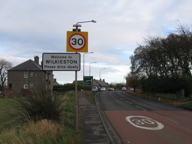
Wilkieston

Wilkieston is a small village in West Lothian, Scotland. It is located on the A71 road, 0.93 miles (1.5 km) north of Kirknewton, 1.2 miles (2 km) south...

1992 Solheim Cup

The second Solheim Cup golf match took place from 2 October to 4 October 1992 at Dalmahoy Country Club, Edinburgh, Scotland. The European team beat the...

Nearby Amenities

Located within 500m of 55.90176,-3.3881762
Power: pole
Lat/Long: 55.9023591/-3.3875629
Power: pole
Lat/Long: 55.905282/-3.38887
Power: pole
Lat/Long: 55.9061061/-3.3865704
Power: pole
Lat/Long: 55.9037137/-3.3898678
Power: pole
Lat/Long: 55.9051017/-3.3900949
Power: pole
Lat/Long: 55.9043349/-3.3909022
Power: pole
Lat/Long: 55.9054595/-3.3876621
Power: pole
Lat/Long: 55.9031905/-3.3889773
Power: pole
Switch: yes
Lat/Long: 55.9052957/-3.3921924
Power: pole
Lat/Long: 55.9049301/-3.391284
Power: pole
Lat/Long: 55.9023947/-3.3882415
The data included in this document is from www.openstreetmap.org. The data is made available under ODbL.

Have you been to Burnwynd?

Leave your review of Burnwynd below (or comments, questions and feedback).