Tredegar Wood
Wood, Forest in Glamorgan
Wales
Tredegar Wood
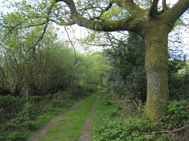
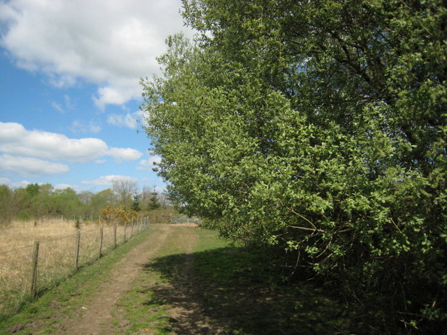
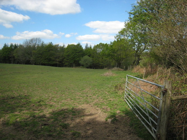
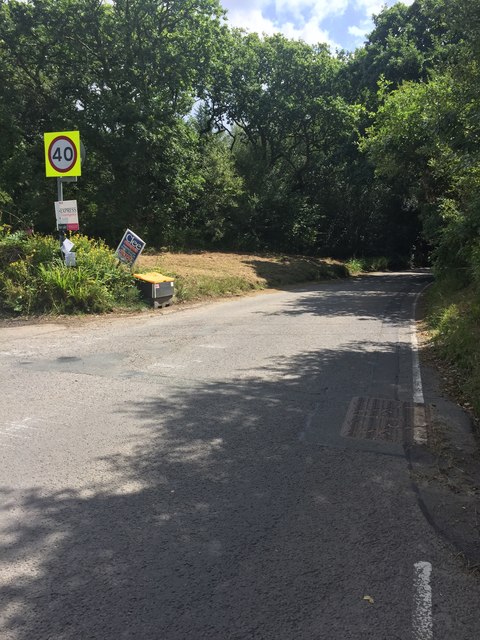
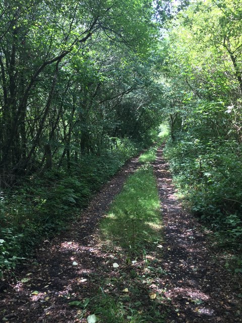
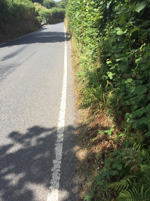
Tredegar Wood, located in Glamorgan, Wales, is a captivating forest that encompasses an area of natural beauty. With its rich history and diverse flora and fauna, it attracts nature enthusiasts and history buffs alike. Spanning over a vast expanse, the wood is a haven for those seeking tranquility and serenity.
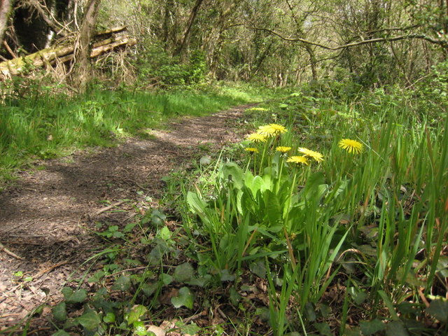
The wood boasts a wide variety of tree species, including oak, ash, beech, and sycamore, which create a dense canopy and provide a habitat for an array of wildlife. Visitors may chance upon the sight of red squirrels, foxes, badgers, and an abundance of bird species, such as woodpeckers and owls. The forest floor is adorned with an array of wildflowers, adding a burst of color to the surroundings.
The history of Tredegar Wood is also an intriguing aspect. It was once part of the expansive Tredegar Estate, which belonged to the Morgan family. The estate played a significant role in the industrial revolution, with the family being prominent coal and ironmasters. Ruins of old mine workings can still be found within the wood, reminding visitors of its industrial past.
The wood offers a range of activities for visitors to enjoy. There are well-maintained walking trails that meander through the forest, allowing visitors to immerse themselves in the natural beauty and tranquility of the surroundings. Additionally, there are picnic areas and designated spots for wildlife watching, providing ample opportunities for relaxation and observation.
Tredegar Wood, with its blend of natural beauty and historical significance, is a destination that offers a unique and enriching experience for all who visit.
If you have any feedback on the listing, please let us know in the comments section below.
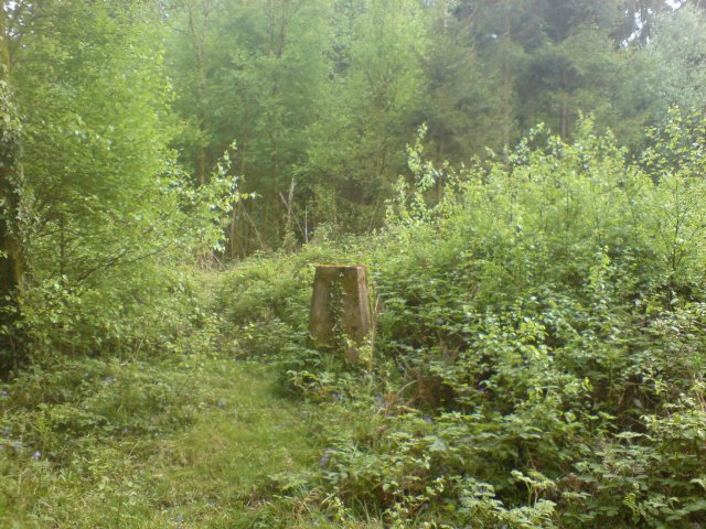
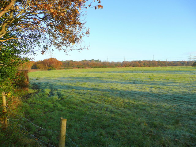
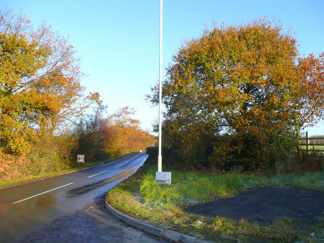
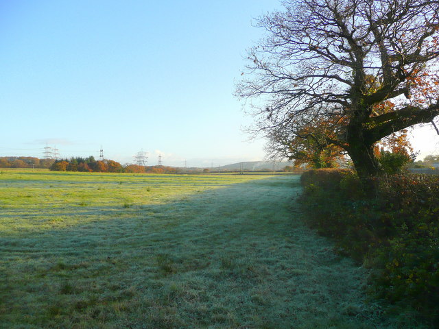
Tredegar Wood Images
Images are sourced within 2km of 51.67865/-3.9791862 or Grid Reference SS6399. Thanks to Geograph Open Source API. All images are credited.


Tredegar Wood is located at Grid Ref: SS6399 (Lat: 51.67865, Lng: -3.9791862)
Unitary Authority: Swansea
Police Authority: South Wales
What 3 Words
///expert.such.carbon. Near Pontlliw, Swansea
Nearby Locations
Related Wikis

Llangyfelach railway station
Llangyfelach railway station served the village of Llangyfelach, in the historical county of Glamorganshire, Wales, from 1923 to 1924 on the Swansea District...
West Wales Parkway railway station
West Wales Parkway (Welsh: Parcffordd Gorllewin Cymru; also proposed as Swansea North; Gogledd Abertawe and Parc Felindre) is a proposed railway station...

Swansea services
Swansea services (Welsh: Gwasanaethau Gorllewin Abertawe, "Swansea West services") is a motorway service station on the M4 motorway at Junction 47 near...
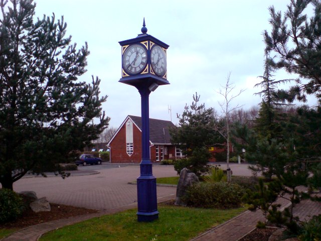
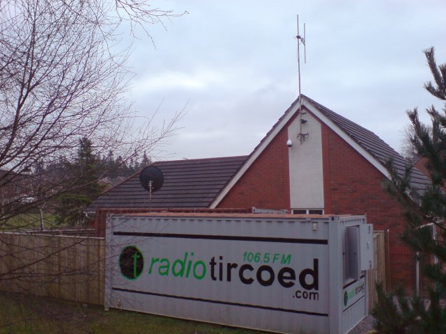
Tircoed forest village
Tircoed forest village is a suburb between the villages of Penllergaer and Pontlliw, Swansea, Wales. It is part of the Pontlliw and Tircoed community....
Nearby Amenities
Located within 500m of 51.67865,-3.9791862Have you been to Tredegar Wood?
Leave your review of Tredegar Wood below (or comments, questions and feedback).