Llangyfelach

Community in Glamorgan

Wales

Llangyfelach

Bridge and ford Bridge and ford crossing the Afon Llan. The road is very rutted and only really suitable for 4x4s.
Bridge and ford Credit: John Phoenix

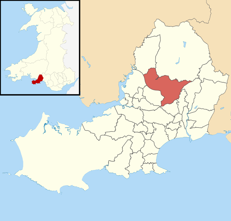
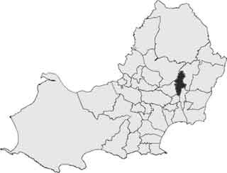
Llangyfelach is a community located in the county of Glamorgan, Wales. It is situated approximately 4 miles north of Swansea city center, making it a convenient residential area for those working in the city. The community is bordered by Morriston and Clydach to the south and Pontarddulais to the west.

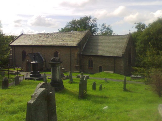
Llangyfelach is known for its rich historical heritage, with several landmarks and sites of interest. One of the most prominent attractions is the Llangyfelach Parish Church, a Grade II listed building dating back to the 12th century. The church boasts a beautiful interior and is surrounded by a picturesque churchyard.

In addition to the church, Llangyfelach is home to several other historic sites, such as Llangyfelach Castle. Although now in ruins, the castle remains a popular spot for visitors, offering a glimpse into the area's medieval past.

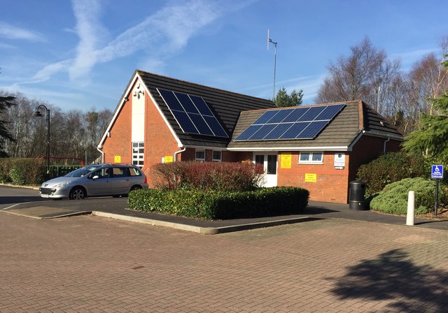
The community also offers a range of amenities and services to its residents. There are several schools in the area, including Llangyfelach Primary School and Ysgol Gyfun Gymraeg Bryn Tawe, providing education for children of all ages. Llangyfelach also has a community center, which hosts various events and activities for both residents and visitors.

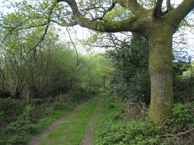
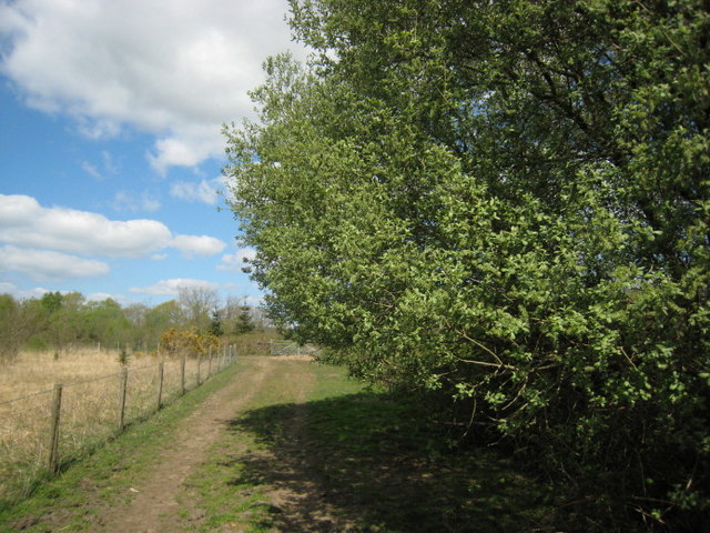
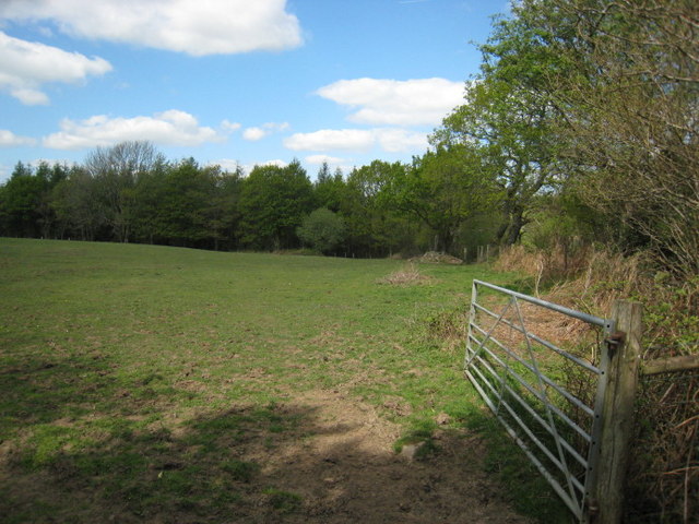
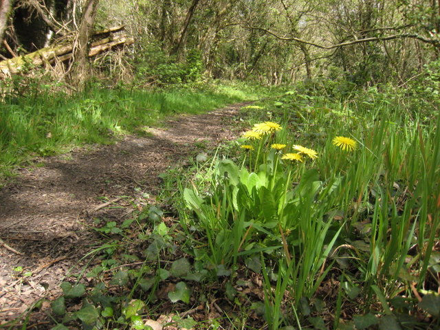
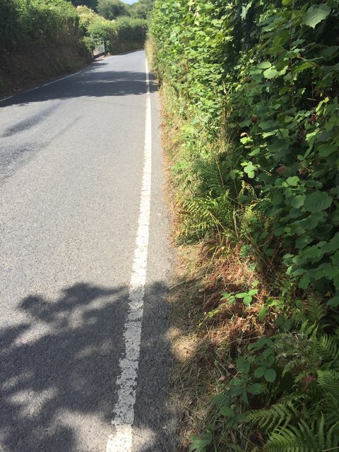
For outdoor enthusiasts, Llangyfelach offers plenty of opportunities for exploration. The area is surrounded by beautiful countryside, with walking and cycling routes, such as the Llangyfelach Loop, providing stunning views of the surrounding landscape.

Overall, Llangyfelach is a charming community that combines a rich historical heritage with modern amenities, making it an attractive place to live or visit in Glamorgan.

If you have any feedback on the listing, please let us know in the comments section below.
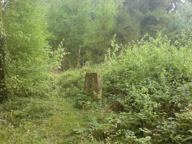
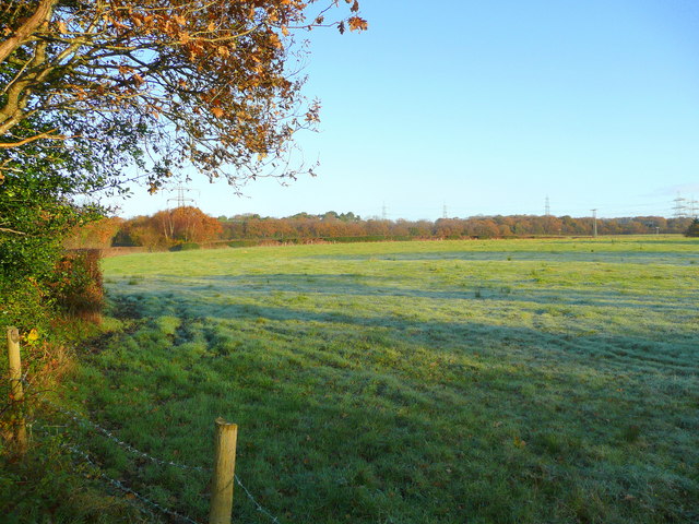
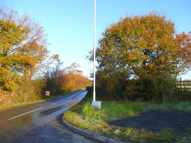
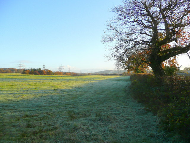
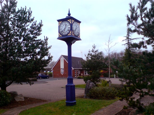
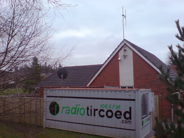
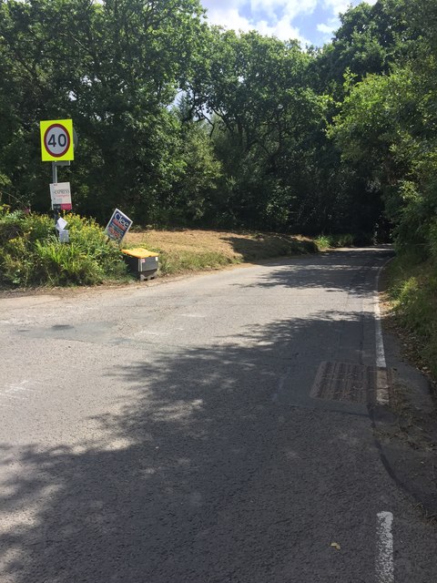
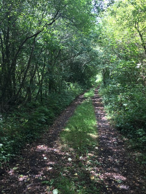
Llangyfelach Images

Images are sourced within 2km of 51.679001/-3.970825 or Grid Reference SS6399. Thanks to Geograph Open Source API. All images are credited.

Bridge and ford Bridge and ford crossing the Afon Llan. The road is very rutted and only really suitable for 4x4s.
Bridge and ford
Bridge and ford crossing the Afon Llan. The road is very rutted and only really suitable for 4x4s.
I'r goedwig.  To the Forest. Cyrion Fforest Penllergaer.

The edge of Penllergaer Forest.
I'r goedwig. To the Forest.
Cyrion Fforest Penllergaer. The edge of Penllergaer Forest.
Helygen.  Willow. Coed cynhenid ar gyrion coedwig Penllergaer.

Native woods near Penllergaer.
Helygen. Willow.
Coed cynhenid ar gyrion coedwig Penllergaer. Native woods near Penllergaer.
Coed Penllergaer.  Penllergaer Forest. Llanerch dymunol iawn.

A pleasant clearing.
Coed Penllergaer. Penllergaer Forest.
Llanerch dymunol iawn. A pleasant clearing.
Llwybr bach.  The narrow path. Un o'r nifer o lwybrau sy'n gwneud y goedwig yn werth chweil.

Penllrergaer forest has many good walks.
Llwybr bach. The narrow path.
Un o'r nifer o lwybrau sy'n gwneud y goedwig yn werth chweil. Penllrergaer forest has many good walks.
Triangulation post in Penllegaer Forest Clearly unfit for the purpose it was created, this triangulation post is now almost invisible from the nearby footpath let alone being visible from miles around as Penllegaer Forest has since been planted and grown around it.
Triangulation post in Penllegaer Forest
Clearly unfit for the purpose it was created, this triangulation post is now almost invisible from the nearby footpath let alone being visible from miles around as Penllegaer Forest has since been planted and grown around it.
Pasture near Brynwhilhach Early morning; almost a frost.
Pasture near Brynwhilhach
Early morning; almost a frost.
Road to Felindre Looking north on a cold November morning.
Road to Felindre
Looking north on a cold November morning.
Pasture edge With a view to Mynydd Gelliwastad (213m) in the distance.
Pasture edge
With a view to Mynydd Gelliwastad (213m) in the distance.
Tircoed  Community Centre Tircoed is a large modern housing estate built in Penllergaer Forest over the last few years.  Much thought has been given to the estate (though the layout can be confusing if you don't know your way round) - it includes its own convenience store and a modern community centre.

A recent addition to this building is the antenna attached to the back of the building.  This is a quarter wave transmitter mast for the recently launched Radio Tircoed, a voluntary run community radio station.
Tircoed Community Centre
Tircoed is a large modern housing estate built in Penllergaer Forest over the last few years. Much thought has been given to the estate (though the layout can be confusing if you don't know your way round) - it includes its own convenience store and a modern community centre. A recent addition to this building is the antenna attached to the back of the building. This is a quarter wave transmitter mast for the recently launched Radio Tircoed, a voluntary run community radio station.
Radio Tircoed studios Behind the modern community centre for the newly built Tircoed housing estate are what appear to be two shipping containers. Their livery reveals that they are in fact the studios for Radio Tircoed which commenced broadcasting on 1st December 2008.

The station is self funded and is entirely run by volunteers and serves the communities of Tircoed, Penllergaer, Pontardulais, Gorseinon, Pontlliw and the M4 Corridor between junctions 47 and 48 - though the signal can be clearly heard much further.  

Along with its relatively powerful (for a community radio station) FM signal, the station also broadcasts on the internet on its web site, and DJs now frequently get requests from all over the world as well as the community in which it serves.

This was the original studio facility - it has since been replaced by a substantially larger structure.
Radio Tircoed studios
Behind the modern community centre for the newly built Tircoed housing estate are what appear to be two shipping containers. Their livery reveals that they are in fact the studios for Radio Tircoed which commenced broadcasting on 1st December 2008. The station is self funded and is entirely run by volunteers and serves the communities of Tircoed, Penllergaer, Pontardulais, Gorseinon, Pontlliw and the M4 Corridor between junctions 47 and 48 - though the signal can be clearly heard much further. Along with its relatively powerful (for a community radio station) FM signal, the station also broadcasts on the internet on its web site, and DJs now frequently get requests from all over the world as well as the community in which it serves. This was the original studio facility - it has since been replaced by a substantially larger structure.
Felindre Road Road from Felindre to M4 J46 through the Waun Ffyrdd plantation.
Felindre Road
Road from Felindre to M4 J46 through the Waun Ffyrdd plantation.
Cefnfforest Fawr Woodland track to Cefnfforest Fawr.
Cefnfforest Fawr
Woodland track to Cefnfforest Fawr.
Hedgerow-lined road Hedgerow lining the road to Felindre.
Hedgerow-lined road
Hedgerow lining the road to Felindre.
Coed Cae Croes The map says 'Croes', the house name plate 'Groes'.  Aaah - the mysteries of the Welsh soft mutation!
Coed Cae Croes
The map says 'Croes', the house name plate 'Groes'. Aaah - the mysteries of the Welsh soft mutation!
Tircoed Village Hall - Radio Tircoed Radio Tircoed - community radio station.
Tircoed Village Hall - Radio Tircoed
Radio Tircoed - community radio station.
Play area Tircoed community play area.
Play area
Tircoed community play area.
Ford and bridge Crossing the Afon Llan at Pontbren Llwyd.
Ford and bridge
Crossing the Afon Llan at Pontbren Llwyd.
Show me another place!

Llangyfelach is located at Grid Ref: SS6399 (Lat: 51.679001, Lng: -3.970825)

Unitary Authority: Swansea

Police Authority: South Wales

What 3 Words

///sparks.behave.novel. Near Morriston, Swansea

Related Wikis

Llangyfelach railway station

Llangyfelach railway station served the village of Llangyfelach, in the historical county of Glamorganshire, Wales, from 1923 to 1924 on the Swansea District...

West Wales Parkway railway station

West Wales Parkway (Welsh: Parcffordd Gorllewin Cymru; also proposed as Swansea North; Gogledd Abertawe and Parc Felindre) is a proposed railway station...

Llangyfelach

Llangyfelach is a village and community located in the City and County of Swansea, Wales, United Kingdom. Llangyfelach is situated about 4 miles north...

Llangyfelach (electoral ward)

Llangyfelach is an electoral ward in the county of Swansea, Wales, UK. It covers the communities of Llangyfelach and part of Mawr.The electoral ward consists...

Swansea services

Swansea services (Welsh: Gwasanaethau Gorllewin Abertawe, "Swansea West services") is a motorway service station on the M4 motorway at Junction 47 near...

Tircoed forest village

Tircoed forest village is a suburb between the villages of Penllergaer and Pontlliw, Swansea, Wales. It is part of the Pontlliw and Tircoed community....

Mynydd-bach (electoral ward)

Mynydd-bach, formerly Mynyddbach (Welsh: Mynydd-bach) is the name of an electoral ward in the City and County of Swansea, Wales. Mynydd-bach is bounded...

Clase

Clase is a suburban district of the City and County of Swansea, Wales within the Mynydd-Bach ward. Clase approximates to the housing area south of Clasemont...

Nearby Amenities

Located within 500m of 51.679001,-3.970825
Power: tower
Ref: V56
Lat/Long: 51.6749275/-3.9693825
Power: tower
Ref: V57
Lat/Long: 51.6750623/-3.9730418
Barrier: block
Bicycle: yes
Foot: yes
Lat/Long: 51.6795552/-3.9677247
Noexit: yes
Lat/Long: 51.6819182/-3.9661306
Noexit: yes
Lat/Long: 51.6821981/-3.967624
Noexit: yes
Lat/Long: 51.6795139/-3.9648861
Noexit: yes
Lat/Long: 51.6796921/-3.9663419
Noexit: yes
Lat/Long: 51.6802062/-3.9679447
Llangyfelach
Abandoned Railway: station
Railway: site
Wikidata: Q110127886
Lat/Long: 51.677365/-3.9708191
Power: pole
Lat/Long: 51.6764041/-3.976576
Power: pole
Lat/Long: 51.6780091/-3.9763883
Location Transition: yes
Power: pole
Lat/Long: 51.678049/-3.9766216
Power: pole
Lat/Long: 51.6774768/-3.9767155
Noexit: yes
Lat/Long: 51.6802468/-3.969314
The data included in this document is from www.openstreetmap.org. The data is made available under ODbL.

Have you been to Llangyfelach?

Leave your review of Llangyfelach below (or comments, questions and feedback).