Allt

Wood, Forest in Carmarthenshire

Wales

Allt

Pistyll Lime Works - Lime Kilns
Pistyll Lime Works - Lime Kilns Credit: Adrian Dust

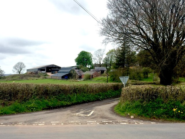
Allt is a small village located in the county of Carmarthenshire, Wales. Nestled amidst the tranquil countryside, it is renowned for its picturesque woodlands and dense forests, making it a haven for nature enthusiasts and outdoor lovers.

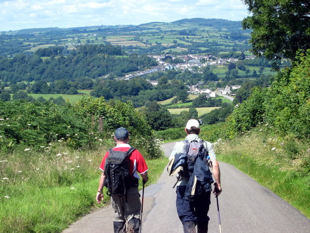
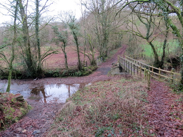
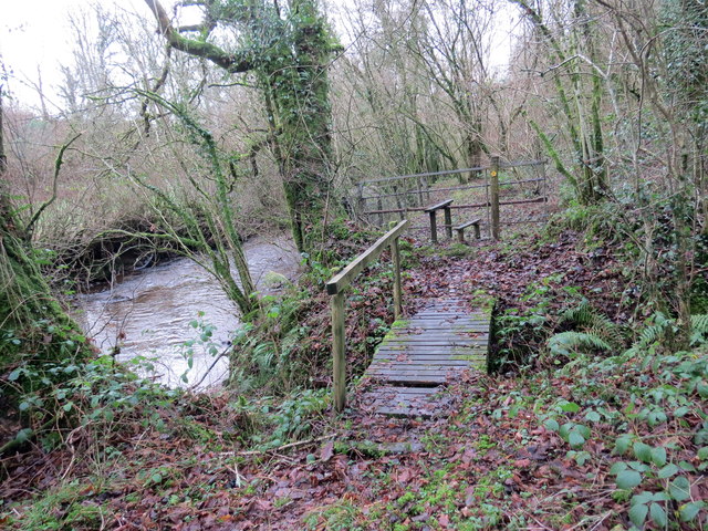
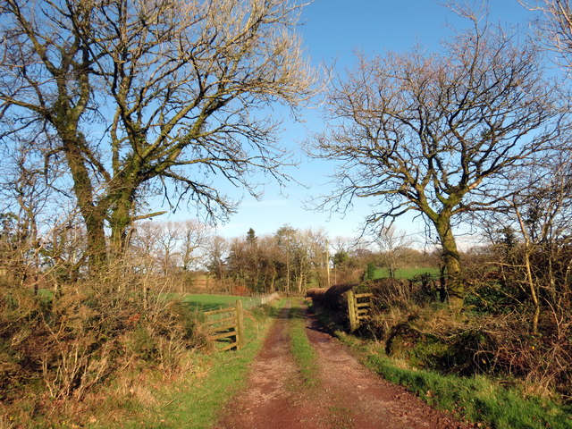
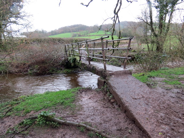
The village is situated at the foothills of the Cambrian Mountains, offering breathtaking views of the surrounding landscapes. The area is characterized by rolling hills, lush green meadows, and winding rivers, creating an idyllic setting for those seeking a peaceful retreat. The woodlands in Allt are particularly noteworthy, with ancient trees and diverse plant and animal species. The area is home to various species of birds, mammals, and insects, making it a popular spot for birdwatching and wildlife photography.

Allt provides ample opportunities for outdoor activities such as hiking, cycling, and horse riding. There are numerous trails and paths that wind through the woodlands, allowing visitors to explore the natural beauty of the area. The forests also offer a serene setting for picnics and family outings.

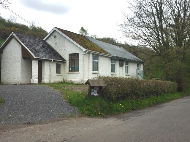
The village itself is small and quaint, with a close-knit community. It has a few local amenities, including a pub and a small convenience store. For a wider range of facilities and services, the nearby town of Carmarthen is easily accessible.

Overall, Allt in Carmarthenshire is a hidden gem, offering a peaceful and scenic retreat for nature lovers. Its woodlands and forests provide a haven for wildlife and a perfect setting for outdoor activities, making it a must-visit destination for those seeking a connection with nature.

If you have any feedback on the listing, please let us know in the comments section below.
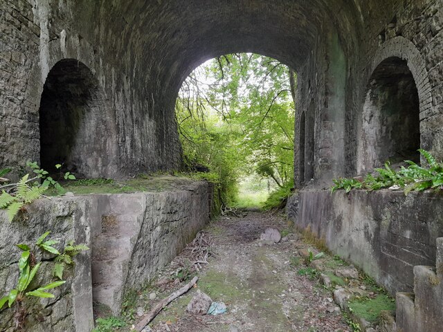
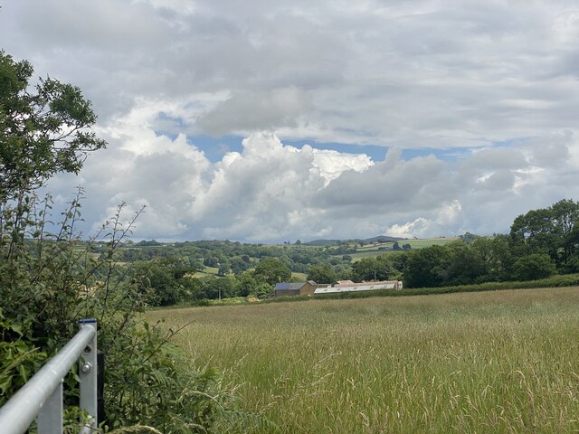
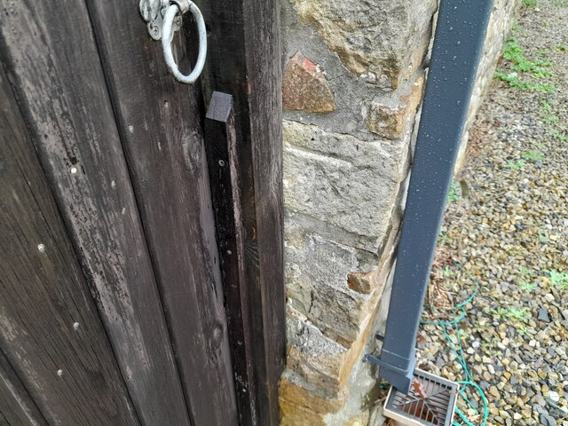
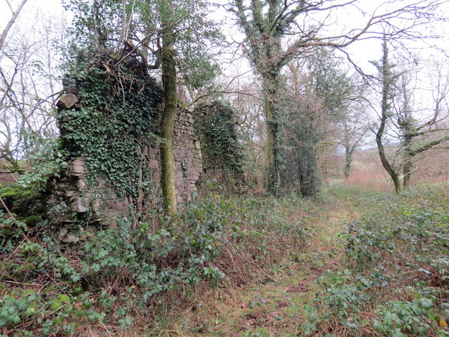
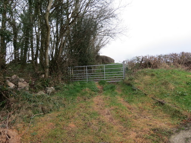
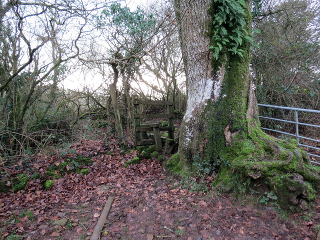
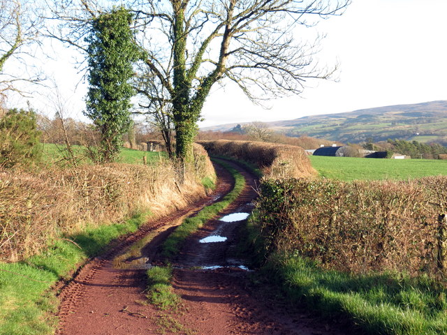
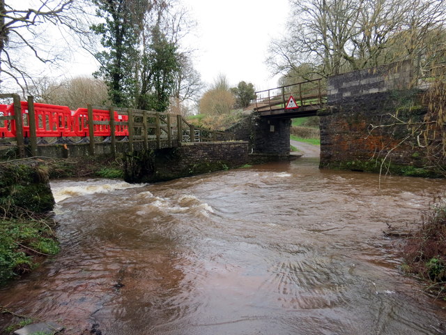
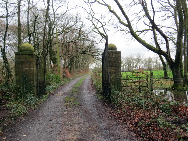
Allt Images

Images are sourced within 2km of 51.848452/-3.9871516 or Grid Reference SN6318. Thanks to Geograph Open Source API. All images are credited.

Pistyll Lime Works - Lime Kilns
Tirygoitre Farm
Tirygoitre Farm
Ordnance Survey Cut Mark This OS cut mark can be found on the barn conversion at Maeroy Farm. It marks a point 52.345m above mean sea level.
Ordnance Survey Cut Mark
This OS cut mark can be found on the barn conversion at Maeroy Farm. It marks a point 52.345m above mean sea level.
Tuag at Ffairfach / Towards Ffairfach Cerddwyr yn mynd i lawr y waered i gyfeiriad Ffairfach. Yr anheddiad yn y pellter yw Llandeilo. 

Walkers descending towards Ffairfach (trans. small fair). The settlement in the distance is Llandeilo (trans. church of St Teilo).
Tuag at Ffairfach / Towards Ffairfach
Cerddwyr yn mynd i lawr y waered i gyfeiriad Ffairfach. Yr anheddiad yn y pellter yw Llandeilo. Walkers descending towards Ffairfach (trans. small fair). The settlement in the distance is Llandeilo (trans. church of St Teilo).
Onen Fawr Road leading to Onen Fawr.
Onen Fawr
Road leading to Onen Fawr.
Church Hall Llandyfan Church hall.
Church Hall
Llandyfan Church hall.
Rhyd Afon Cennen / Afon Cennen ford Hen heol ddiwyneb yn rhydio Afon Cennen gyda'r bombren wrth ei hymyl

An old unsurfaced road fording Afon Cennen (trans. ?little lichen river) with the adjacent footbridge.
Rhyd Afon Cennen / Afon Cennen ford
Hen heol ddiwyneb yn rhydio Afon Cennen gyda'r bombren wrth ei hymyl An old unsurfaced road fording Afon Cennen (trans. ?little lichen river) with the adjacent footbridge.
Llwybr glanafon / Riverside path Llwybr cyhoeddus ar lan Afon Cennen.

A public path on the banks of Afon Cennen (trans. ?little lichen river).
Llwybr glanafon / Riverside path
Llwybr cyhoeddus ar lan Afon Cennen. A public path on the banks of Afon Cennen (trans. ?little lichen river).
Anedd-dy adfeiliedig / A ruinous abode Llwybr cyhoeddus yn mynd heibio i anhedd-dy adfeiliedig. Mae'n debyg taw Felin Arthur oedd enw'r ty ac yn 1841 bu'n gartref i John Jones a'i blant. Yn 1851 trigai ei ferch, Hannah Jones, yno.  

A public footpath passing a ruinous abode. Known apparently as Felin Arthur (trans. Arthur's mill) it was home in 1841 to John Jones and his children. In 1851 his daughter, Hannah Jones, resided there.
Anedd-dy adfeiliedig / A ruinous abode
Llwybr cyhoeddus yn mynd heibio i anhedd-dy adfeiliedig. Mae'n debyg taw Felin Arthur oedd enw'r ty ac yn 1841 bu'n gartref i John Jones a'i blant. Yn 1851 trigai ei ferch, Hannah Jones, yno. A public footpath passing a ruinous abode. Known apparently as Felin Arthur (trans. Arthur's mill) it was home in 1841 to John Jones and his children. In 1851 his daughter, Hannah Jones, resided there.
Llwybr ger Cefncethin / Path near Cefncethin Llwybr cyhoeddus yn mynd tuag at Ffarm y Grip Fawr.

A public footpath heading towards Gripp-fawr Farm
Llwybr ger Cefncethin / Path near Cefncethin
Llwybr cyhoeddus yn mynd tuag at Ffarm y Grip Fawr. A public footpath heading towards Gripp-fawr Farm
Llwybr Cefncethin / Cefn Cethin Path Sticil ar lwybr cyhoeddus sy'n mynd i gyfeiriad Cefncethin. Yn anffodus, mae'r llwybr, pan dynnwyd y llun, wedi'i rwsystro gan ffens.

A stile on a public footpath heading in the direction of Cefncethin. Unfortunately, at the time of writing, the path has a fence obstruction.
Llwybr Cefncethin / Cefn Cethin Path
Sticil ar lwybr cyhoeddus sy'n mynd i gyfeiriad Cefncethin. Yn anffodus, mae'r llwybr, pan dynnwyd y llun, wedi'i rwsystro gan ffens. A stile on a public footpath heading in the direction of Cefncethin. Unfortunately, at the time of writing, the path has a fence obstruction.
Llwybr Garreg Lwyd / Garreg Lwyd Path Llwybr cyhoeddus yn mynd tuag at Ffarm Garreg Lwyd. Yn weladwy yn y pellter mae Castell Carreg Cennen.

A public footpath heading towards Carreg Lwyd Farm (trans. grey stone). Visible in the distance is Carreg Cennen Castle.
Llwybr Garreg Lwyd / Garreg Lwyd Path
Llwybr cyhoeddus yn mynd tuag at Ffarm Garreg Lwyd. Yn weladwy yn y pellter mae Castell Carreg Cennen. A public footpath heading towards Carreg Lwyd Farm (trans. grey stone). Visible in the distance is Carreg Cennen Castle.
Llwybr Garreg Lwyd / Garreg Lwyd Path Llwybr cyhoeddus yn mynd i gyfeiriad Ffarm Garreg Lwyd.

A public footpath heading towards Garreg Lwyd Farm (trans. grey stone)
Llwybr Garreg Lwyd / Garreg Lwyd Path
Llwybr cyhoeddus yn mynd i gyfeiriad Ffarm Garreg Lwyd. A public footpath heading towards Garreg Lwyd Farm (trans. grey stone)
Llandyfan Church Rebuilt in 1864, Llandyfan stands on the site of an older chapel and has a baptismal spring in its grounds.
Llandyfan Church
Rebuilt in 1864, Llandyfan stands on the site of an older chapel and has a baptismal spring in its grounds.
Pompren ger Cilyrychen / Footbridge near Cilyrychen Pompren yn rhychwantu Afon Marlais ger Ffarm Cilyrychen.

A footbridge spanning Afon Marlais near Cilyrychen Farm (trans. nook of the oxen).
Pompren ger Cilyrychen / Footbridge near Cilyrychen
Pompren yn rhychwantu Afon Marlais ger Ffarm Cilyrychen. A footbridge spanning Afon Marlais near Cilyrychen Farm (trans. nook of the oxen).
Rhyd Afon Cennen / Afon Cennen ford Llif yn Afon Cennen yn gwneud rhydio'r afon yn beryglus iawn. Mae rheilffordd Abertawe - Yr Amwythig yn croesi'r bont uwchben. 

The swollen Afon Cennen makes fording the river quite hazardous. The Swansea - Shrewsbury railway crosses the bridge above.
Rhyd Afon Cennen / Afon Cennen ford
Llif yn Afon Cennen yn gwneud rhydio'r afon yn beryglus iawn. Mae rheilffordd Abertawe - Yr Amwythig yn croesi'r bont uwchben. The swollen Afon Cennen makes fording the river quite hazardous. The Swansea - Shrewsbury railway crosses the bridge above.
Rhyd Afon Cennen / Afon Cennen ford Llif yn Afon Cennen yn gwneud rhydio'r afon yn beryglus iawn. Yn y pellter mae rheilffordd Abertawe - Yr Amwythig yn croesi'r bont. Yn ffodus iawn mae pompren yn rhychwantu'r afon.

The swollen Afon Cennen makes fording the river quite hazardous. In the distance the Swansea- Shrewsbury railway crosses the bridge. Fortunately, pedestrians can cross the footbridge.
Rhyd Afon Cennen / Afon Cennen ford
Llif yn Afon Cennen yn gwneud rhydio'r afon yn beryglus iawn. Yn y pellter mae rheilffordd Abertawe - Yr Amwythig yn croesi'r bont. Yn ffodus iawn mae pompren yn rhychwantu'r afon. The swollen Afon Cennen makes fording the river quite hazardous. In the distance the Swansea- Shrewsbury railway crosses the bridge. Fortunately, pedestrians can cross the footbridge.
Mynediad i Gwmcethin / Entrance to Cwmcethin Mynediad crand i blasty Cefncethin.

Grand entrance to Cefncethin mansion (trans. dark ridge).
Mynediad i Gwmcethin / Entrance to Cwmcethin
Mynediad crand i blasty Cefncethin. Grand entrance to Cefncethin mansion (trans. dark ridge).
Show me another place!

Allt is located at Grid Ref: SN6318 (Lat: 51.848452, Lng: -3.9871516)

Unitary Authority: Carmarthenshire

Police Authority: Dyfed Powys

What 3 Words

///appealing.terribly.paddocks. Near Llandybie, Carmarthenshire

Nearby Locations

Allt

Related Wikis

Derwydd, Carmarthenshire

Derwydd is a hamlet in the south-east of Carmarthenshire, Wales, historically situated in the parish of Llandybie, north of Ammanford. It is around halfway...

Dyffryn Cennen

Dyffryn Cennen is a community located in Carmarthenshire, Wales. The population of the community taken at the 2011 census was 1,176.The community is bordered...

Derwydd Road railway station

Derwydd Road railway station served the hamlet of Derwydd, in the historical county of Glamorganshire, Wales, from 1857 to 1966 on the Llanelly Railway...

Coed Llandyfan

Coed Llandyfan is a Site of Special Scientific Interest in Carmarthen & Dinefwr, Wales. It is an ancient semi-natural broadleaved wood near the small...

Trap, Carmarthenshire

Trap (or Trapp) is a hamlet in the county of Carmarthenshire in southwest Wales, located on the western border of the Brecon Beacons National Park, around...

Llandeilo (electoral ward)

Llandeilo is the name of an electoral ward for Carmarthenshire County Council, which includes the communities of Llandeilo and Dyffryn Cennen, in Carmarthenshire...

Carreg Dwfn

Carreg Dwfn (also referred to as Careg Dwfn and Carregydwfn and referred to also as Careg-y-dwfan ) is a hill four miles southeast of Llandeilo and just...

Caeau Tir-mawr

Caeau Tir-mawr is a Site of Special Scientific Interest in Carmarthen & Dinefwr, Wales. == External links == Description at Brecon Beacons National Park...

Related Videos

MSR Hubba Hubba NX 2 Review - Trekking Pole Hack

Black Mountain Adventures and Wild Camping Kid collaboration. Our first gear review film. After owning the Hubba Hubba for ...

Castle to Caerau test.

GoPro Karma test flight.

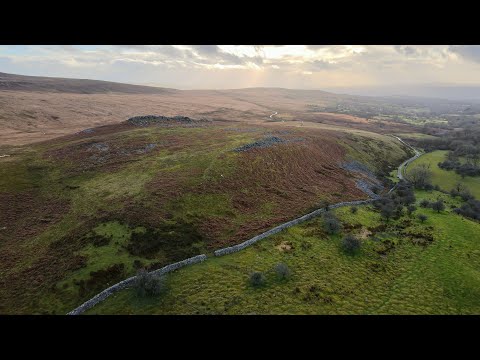
Pale'r Cwrt on the Brecon Beacons near Llandyfan in Winter (4K)

Edited in Adobe Premier Pro DJI Mavic Air 2 Find me on Instagram: https://www.instagram.com/brett.d.harvey/
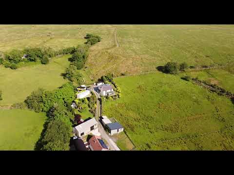
Nearby Amenities

Located within 500m of 51.848452,-3.9871516
Place: farm
Lat/Long: 51.8524103/-3.9851265
Power: pole
Lat/Long: 51.8497123/-3.994064
The data included in this document is from www.openstreetmap.org. The data is made available under ODbL.

Have you been to Allt?

Leave your review of Allt below (or comments, questions and feedback).