Coed-y-parc

Wood, Forest in Caernarfonshire

Wales

Coed-y-parc

Electrical cabinet on Bangor Road, Bethesda
Electrical cabinet on Bangor Road, Bethesda Credit: Meirion

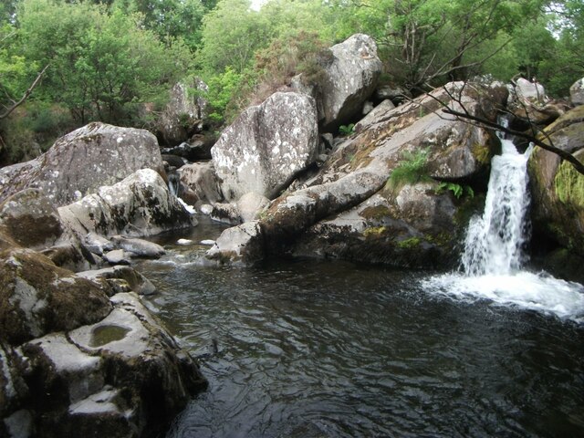
Coed-y-parc, located in Caernarfonshire, Wales, is a picturesque woodland area known for its natural beauty and rich biodiversity. Covering an expansive area, the wood is a haven for nature enthusiasts, hikers, and wildlife lovers alike.

The forest is predominantly composed of native tree species such as oak, beech, and birch, creating a diverse and vibrant ecosystem. The woodland floor is covered with a blanket of mosses, ferns, and wildflowers, adding to the enchanting atmosphere.

Coed-y-parc offers a network of well-maintained walking trails, allowing visitors to explore the forest at their own pace. These paths wind through the towering trees, providing stunning views and opportunities for birdwatching. Various species of birds, including woodpeckers, owls, and songbirds, can be spotted among the branches.

The forest is also home to a wide range of wildlife, including elusive mammals such as badgers, foxes, and deer. The diverse habitats within the woodland support a thriving ecosystem, with many species of insects, amphibians, and small mammals making their homes here.

In addition to its natural wonders, Coed-y-parc offers facilities such as picnic areas and car parks, making it an ideal destination for a day trip or a peaceful retreat in nature. The tranquil atmosphere, combined with the beauty of the surroundings, makes Coed-y-parc a must-visit destination for anyone seeking to immerse themselves in the serenity of a Welsh woodland.

If you have any feedback on the listing, please let us know in the comments section below.
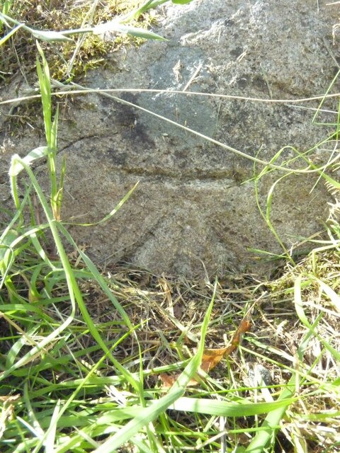
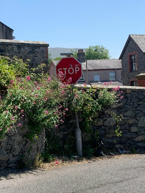
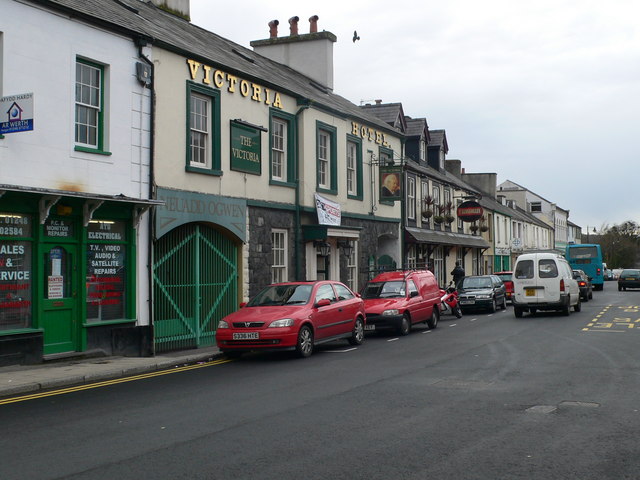
Coed-y-parc Images

Images are sourced within 2km of 53.174355/-4.0715933 or Grid Reference SH6166. Thanks to Geograph Open Source API. All images are credited.

Electrical cabinet on Bangor Road, Bethesda
Hydrant sign on Ffordd Gerlan, Bethesda
Electrical cabinet on Ffordd Gerlan, Bethesda
Electrical cabinet on Carneddi Road, Bethesda
Hydrant marker on Gerlan Road, Bethesda
Elizabeth II post box on Braichmelyn, Bethesda LL57 21
Elizabeth II post box on Braichmelyn, Bethesda
LL57 21
Hydrant sign on Cefnfaes Road, Bethesda
Hydrant marker on Braichmelyn, Bethesda
Sluice valve marker at the junction of Station Road and Bangor Road, Bethesda
Damaged sluice valve marker on Bangor Road, Bethesda
Sluice valve marker on Bangor Road, Bethesda
Waterfall on Afon Caseg, Bethesda
Wooden fingerpost, Sling
Flooded Penrhyn Slate Quarry Penrhyn Quarry is home to Zip World which has the world's fastest and Europe's longest zip line. Velocity 2 has four parallel lines that span 1.5 kilometres over Penrhyn Quarry lake, it is possible to reach speeds of over 100 mph.
Flooded Penrhyn Slate Quarry
Penrhyn Quarry is home to Zip World which has the world's fastest and Europe's longest zip line. Velocity 2 has four parallel lines that span 1.5 kilometres over Penrhyn Quarry lake, it is possible to reach speeds of over 100 mph.
Benchmark on Llwyn Bleddyn Road, Rachub For more details see: <span class="nowrap"><a title="https://www.bench-marks.org.uk/bm29697" rel="nofollow ugc noopener" href="https://www.bench-marks.org.uk/bm29697">Link</a><img style="margin-left:2px;" alt="External link" title="External link - shift click to open in new window" src="https://s1.geograph.org.uk/img/external.png" width="10" height="10"/></span>
Benchmark on Llwyn Bleddyn Road, Rachub
For more details see: LinkExternal link
Benchmark on boulder, Mynydd Llandegai For more details see: <span class="nowrap"><a title="https://www.bench-marks.org.uk/bm114242" rel="nofollow ugc noopener" href="https://www.bench-marks.org.uk/bm114242">Link</a><img style="margin-left:2px;" alt="External link" title="External link - shift click to open in new window" src="https://s1.geograph.org.uk/img/external.png" width="10" height="10"/></span>
Benchmark on boulder, Mynydd Llandegai
For more details see: LinkExternal link
Give way 100 yards sign, Tregarth
Stop sign at the junction of Coetmor New Road and Ffordd Bangor, Bethesda
Show me another place!

Coed-y-parc is located at Grid Ref: SH6166 (Lat: 53.174355, Lng: -4.0715933)

Unitary Authority: Gwynedd

Police Authority: North Wales

What 3 Words

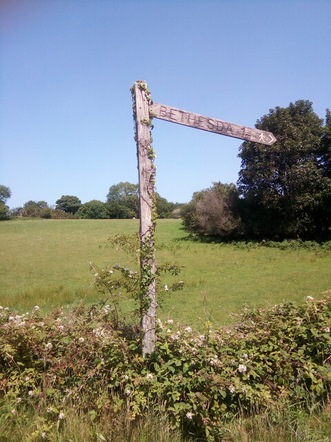
///chairing.mural.books. Near Bethesda, Gwynedd

Related Wikis

Felin Fawr Slate Works

Felin Fawr Works is a former slate works to Penrhyn Quarry Railway in Bethesda, Wales. It dates back to 1803; This is when the first mill was supposedly...

Bethesda railway station

Bethesda railway station was a station in Bethesda, Gwynedd, Wales. == History == The station was opened by the London and North Western Railway on 1 July...
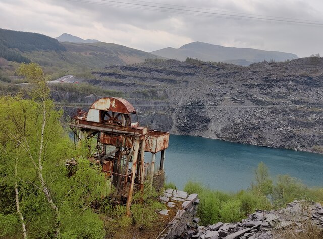
Penrhyn quarry

The Penrhyn quarry is a slate quarry located near Bethesda, North Wales. At the end of the nineteenth century it was the world's largest slate quarry;...

Afon Llafar

For the river which flows into Bala Lake see Afon Llafar (Dee)Afon Llafar is a river in the Carneddau, Snowdonia. It rises where many streams flow down...

Bethesda, Gwynedd

Bethesda (; Welsh: [bɛθ'ɛsda]) is a town and community in Gwynedd, Wales. It is on the banks of Afon Ogwen and on the edge of Snowdonia. It is 5 miles...

Bethesda Athletic F.C.

Bethesda Athletic F.C. (; Welsh: [bɛθ'ɛsda]) is a football club based in the Welsh town of Bethesda, in northwest Wales. They play in the Ardal NW which...

Jerusalem Chapel, Bethesda

Jerusalem Chapel, Bethesda, Gwynedd, Wales is a Presbyterian Church of Wales chapel built in 1841–1842 and reconstructed in 1872–1875. Of colossal size...

Ogwen (electoral ward)

Ogwen is the name of an electoral ward covering part of the village and community of Bethesda in Gwynedd, Wales. It elects councillors to the community...

Nearby Amenities

Located within 500m of 53.174355,-4.0715933
Waterway: weir
Lat/Long: 53.1747926/-4.0749351
Post Box
Post Box Type: lamp
Ref: LL59 19
Lat/Long: 53.1770288/-4.0736257
Telephone
Booth: K6
Covered: booth
Lat/Long: 53.1770219/-4.0736607
Man Made: mast
Mast: telecommunication
Lat/Long: 53.1779967/-4.0741136
Bryn LLys
Addr City: Bethesda
Addr Housename: Bryn Llys
Addr Postcode: LL57 4YW
Addr Street: Coed y Parc
Email: info@brynllys.co.uk
Guest House: self_catering
Internet Access: yes
Internet Access Fee: yes
Operator: Carlo Forte
Rooms: 7
Lat/Long: 53.1770028/-4.0674119
Power: pole
Lat/Long: 53.1745917/-4.0726074
Power: pole
Lat/Long: 53.1744599/-4.0746888
Power: pole
Lat/Long: 53.1749711/-4.0704241
Power: pole
Lat/Long: 53.1745325/-4.0740899
Power: pole
Lat/Long: 53.1723152/-4.0757993
Power: pole
Lat/Long: 53.1770886/-4.0693853
Power: pole
Lat/Long: 53.1746965/-4.0728024
Power: pole
Lat/Long: 53.1737126/-4.0749589
Power: pole
Lat/Long: 53.1709132/-4.0750482
Power: pole
Lat/Long: 53.1757717/-4.069598
Power: pole
Lat/Long: 53.1749955/-4.070485
Power: pole
Lat/Long: 53.1743152/-4.0742597
Power: pole
Lat/Long: 53.1782474/-4.0685734
Power: pole
Lat/Long: 53.174746/-4.0717116
Power: pole
Lat/Long: 53.1764083/-4.0695068
Power: pole
Lat/Long: 53.1749602/-4.0706727
Power: pole
Lat/Long: 53.1711769/-4.0751877
Power: pole
Lat/Long: 53.1749357/-4.0705153
Power: pole
Lat/Long: 53.175328/-4.0698823
Power: pole
Lat/Long: 53.1717075/-4.0754828
Power: pole
Lat/Long: 53.1746127/-4.0757884
Power: pole
Lat/Long: 53.1728677/-4.0752699
Power: pole
Lat/Long: 53.1764116/-4.0776177
Power: pole
Lat/Long: 53.1724841/-4.0755765
Power: pole
Lat/Long: 53.1738796/-4.0745304
Power: pole
Lat/Long: 53.1751908/-4.0763723
Power: pole
Lat/Long: 53.1709063/-4.0748649
Power: pole
Lat/Long: 53.1743394/-4.0735541
Power: pole
Lat/Long: 53.1757294/-4.0769275
Power: pole
Lat/Long: 53.1711539/-4.0750232
Power: pole
Lat/Long: 53.170841/-4.0748791
Power: pole
Lat/Long: 53.1718243/-4.0752967
Power: pole
Lat/Long: 53.176074/-4.0650082
Power: pole
Lat/Long: 53.1757766/-4.0650296
Power: pole
Lat/Long: 53.1754648/-4.0656599
Power: pole
Lat/Long: 53.1752622/-4.0663385
Power: pole
Lat/Long: 53.1752381/-4.0670225
Power: pole
Lat/Long: 53.1751979/-4.0678647
Power: pole
Lat/Long: 53.175177/-4.0687364
Power: pole
Lat/Long: 53.1752188/-4.0698308
Railway: level_crossing
Lat/Long: 53.1761133/-4.0679221
Power: pole
Lat/Long: 53.1748107/-4.0718802
Power: pole
Lat/Long: 53.1733009/-4.0750279
Power: pole
Lat/Long: 53.1730587/-4.0753627
Pont Galedffrwd
Place: locality
Lat/Long: 53.1770254/-4.0723018
Power: pole
Lat/Long: 53.176275/-4.0780898
Power: substation
Lat/Long: 53.171111/-4.067384
Barrier: kissing_gate
Bicycle: no
Foot: yes
Horse: no
Material: metal
Motor Vehicle: no
Wheelchair: no
Lat/Long: 53.1735473/-4.0784494
Description: Mid-C19 masonry dam, associated with the water-powered slate works at Felin Fawr (NPRN 570). Constructed from massive slate blocks. Two cast-iron sluices.
Material: stone,_slate
Waterway: dam
Lat/Long: 53.1747216/-4.0747761
Direction: 215
Generator Method: photovoltaic
Generator Output Electricity: yes
Generator Solar Modules: 16
Generator Source: solar
Generator Type: solar_photovoltaic_panel
Location: roof
Power: generator
Lat/Long: 53.1772548/-4.0768678
Direction: 210
Generator Method: photovoltaic
Generator Output Electricity: yes
Generator Solar Modules: 7
Generator Source: solar
Generator Type: solar_photovoltaic_panel
Location: roof
Power: generator
Lat/Long: 53.1758024/-4.0726809
Direction: 120
Generator Method: photovoltaic
Generator Output Electricity: yes
Generator Solar Modules: 9
Generator Source: solar
Generator Type: solar_photovoltaic_panel
Location: roof
Power: generator
Lat/Long: 53.1757936/-4.0727533
The data included in this document is from www.openstreetmap.org. The data is made available under ODbL.

Have you been to Coed-y-parc?

Leave your review of Coed-y-parc below (or comments, questions and feedback).