Coed Glan y Mor
Wood, Forest in Cardiganshire
Wales
Coed Glan y Mor
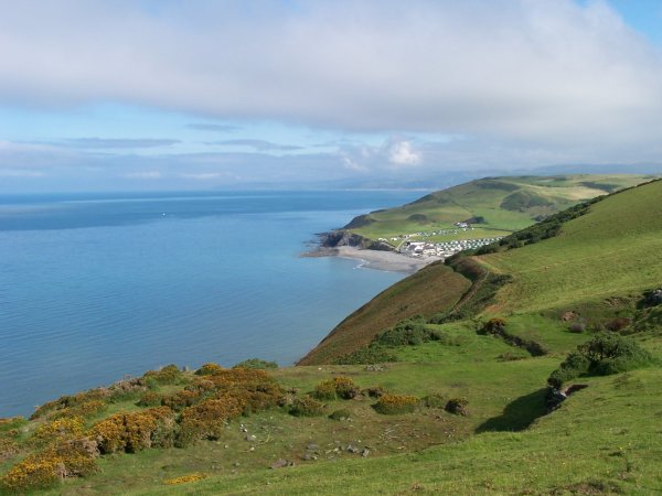
Coed Glan y Mor is a picturesque woodland located in Cardiganshire, Wales. Spanning over a vast area, this enchanting forest is renowned for its natural beauty and diverse range of plant and animal species.
The woodland is characterized by its dense canopy of oak, beech, and birch trees, creating a tranquil and serene atmosphere. The trees provide a protective shelter for a variety of wildlife, including deer, foxes, badgers, and a plethora of bird species. Nature enthusiasts and birdwatchers flock to Coed Glan y Mor to witness the stunning array of feathered creatures that call this forest home.
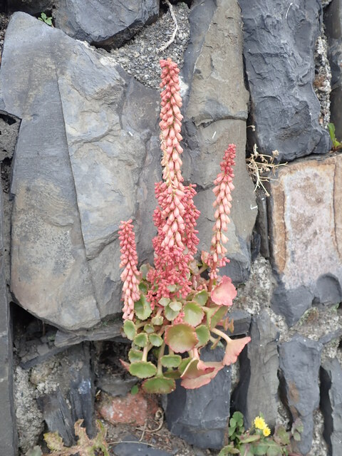
Trails wind their way through the wood, offering visitors an opportunity to explore the pristine surroundings and discover hidden gems within. Along these trails, visitors are likely to encounter babbling brooks, cascading waterfalls, and charming wildflowers, providing a captivating sensory experience.
Coed Glan y Mor is not only a haven for wildlife but also offers recreational activities for its visitors. Families and outdoor enthusiasts can enjoy hiking, picnicking, and camping in designated areas. The forest is also popular among photographers and artists who seek inspiration from the natural beauty and tranquility of the surroundings.
Preservation efforts are paramount in Coed Glan y Mor, with local authorities and conservation groups working together to protect the delicate ecosystem. The forest is subject to strict regulations to ensure the preservation of its flora and fauna, making it a cherished natural treasure in Cardiganshire.
If you have any feedback on the listing, please let us know in the comments section below.
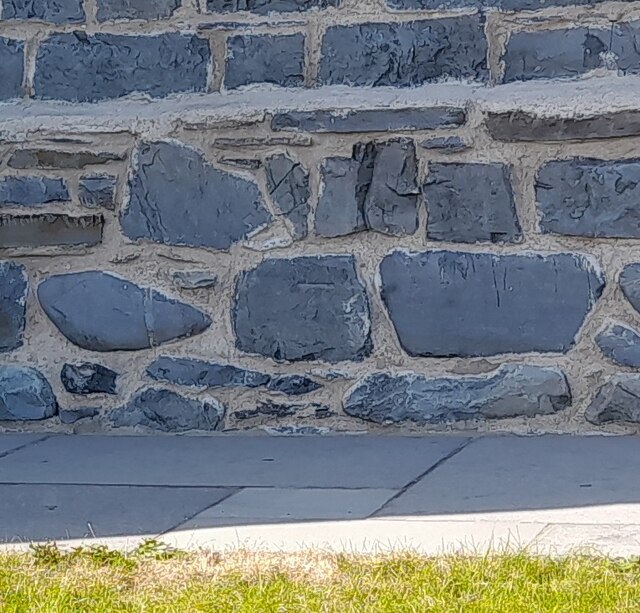
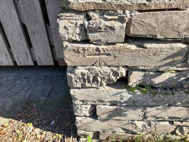
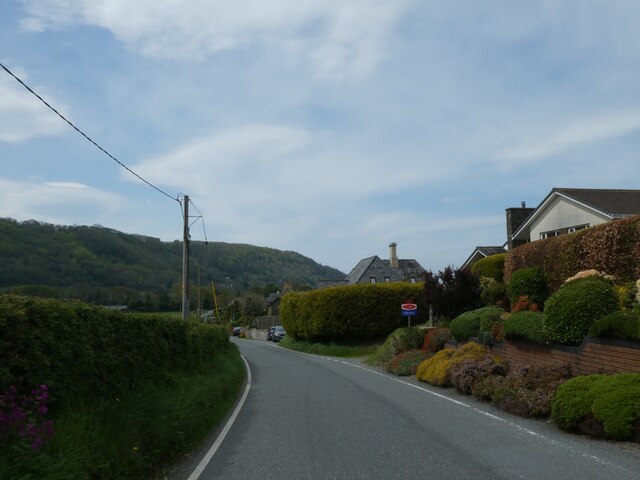
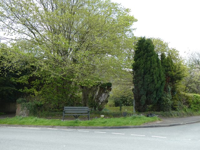
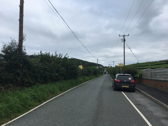
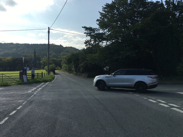
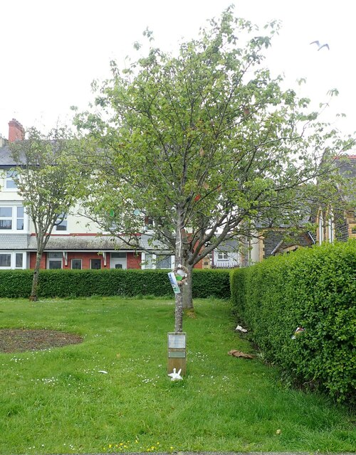
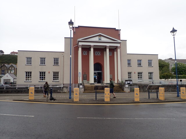
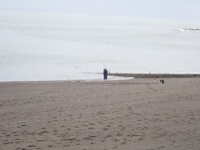
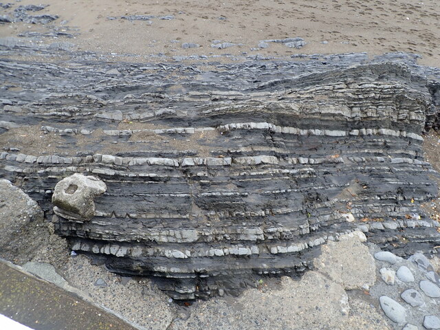
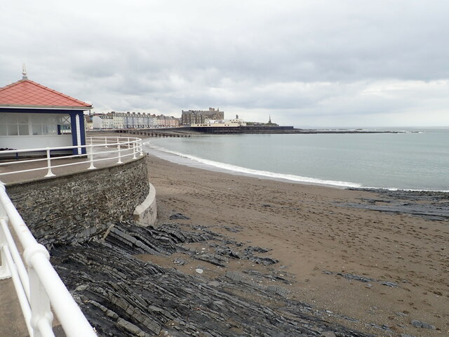
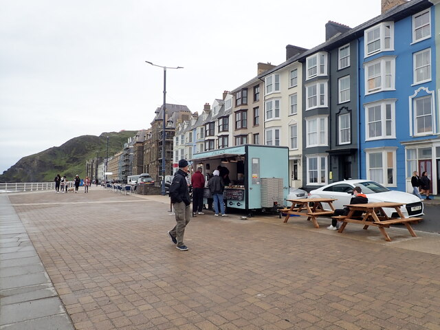
Coed Glan y Mor Images
Images are sourced within 2km of 52.431198/-4.0768474 or Grid Reference SN5883. Thanks to Geograph Open Source API. All images are credited.


Coed Glan y Mor is located at Grid Ref: SN5883 (Lat: 52.431198, Lng: -4.0768474)
Unitary Authority: Ceredigion
Police Authority: Dyfed Powys
What 3 Words
///spoiler.dime.defensive. Near Aberystwyth, Ceredigion
Nearby Locations
Related Wikis
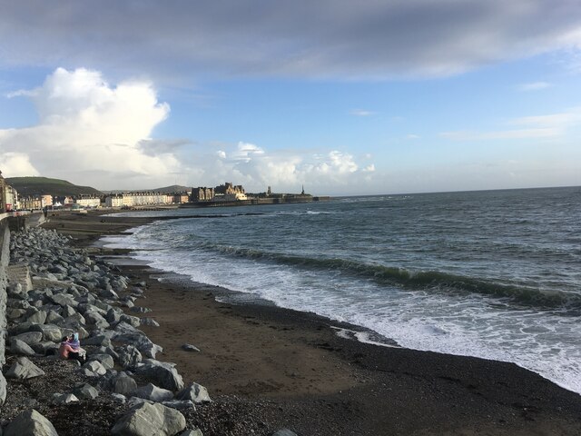
Clarach Bay
Clarach Bay (Welsh pronunciation: [ˈklaraχ]) is a small bay on the coast of Ceredigion, Wales, to the north of Aberystwyth, where the Afon Clarach flows...

Afon Clarach
Afon Clarach (Welsh pronunciation: [ˈklaraχ]; also known as the River Clarach) is a small river discharging into Cardigan Bay north of Aberystwyth. It...

Glan-y-môr, Ceredigion
Glan-y-môr is a small village in the community of Tirymynach, Ceredigion, Wales, which is 76.4 miles (123 km) from Cardiff and 180 miles (289.7 km) from...
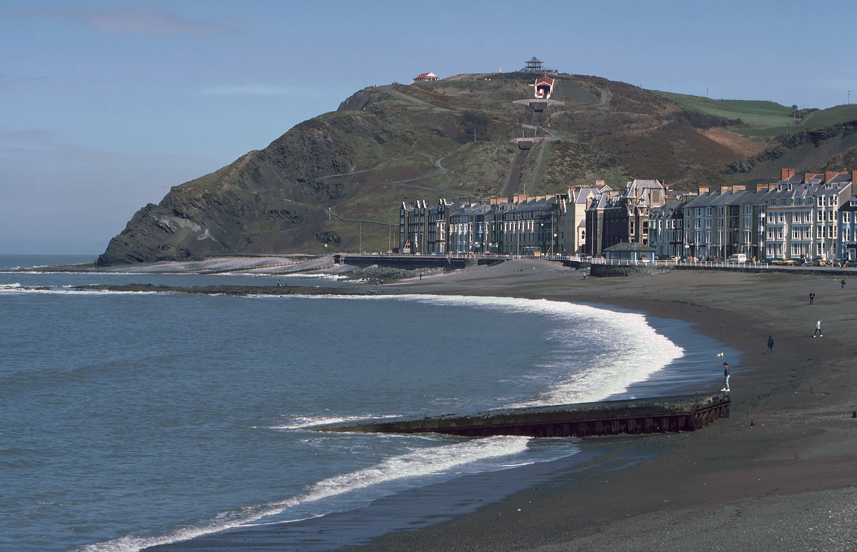
Constitution Hill, Aberystwyth
Constitution Hill (Welsh: Craig-glais Welsh pronunciation: [krai̯ɡ glai̯s]) is a hill in the Welsh town of Aberystwyth, situated to the north of the town...
Nearby Amenities
Located within 500m of 52.431198,-4.0768474Have you been to Coed Glan y Mor?
Leave your review of Coed Glan y Mor below (or comments, questions and feedback).