Clarach Bay
Bay in Cardiganshire
Wales
Clarach Bay
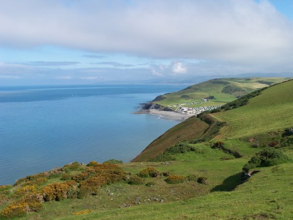
Clarach Bay is a picturesque coastal village located in Cardiganshire, Wales. Situated just two miles north of Aberystwyth, it offers a stunning bay that stretches for over a mile and is nestled between rugged cliffs and rolling hills.
The bay itself is a popular destination for both locals and tourists, renowned for its pristine sandy beach and clear blue waters. The beach is backed by a beautiful nature reserve, providing a peaceful and natural setting for visitors to enjoy. Clarach Bay is also home to a caravan park, offering accommodation options for those who wish to stay in the area.
The village of Clarach Bay is relatively small but boasts a friendly and welcoming atmosphere. Visitors can find a range of amenities, including a café, a pub, and a small convenience store. The area is well-served by public transportation, with regular bus services connecting Clarach Bay to the nearby town of Aberystwyth.
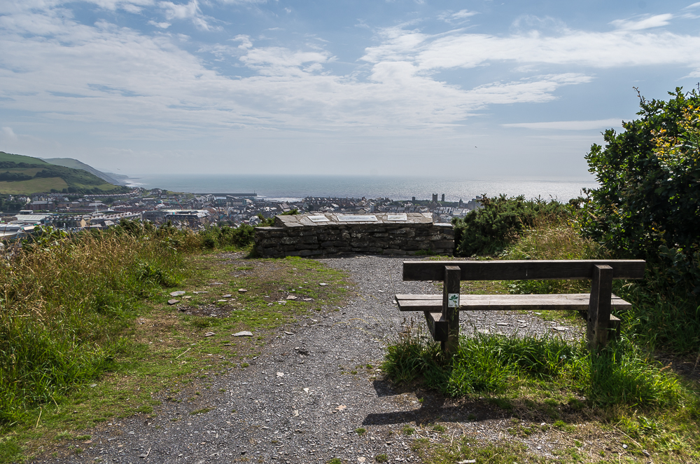
For nature enthusiasts, Clarach Bay offers ample opportunities for exploration. The nearby coastal path provides breathtaking views of the bay and the surrounding countryside, while the nature reserve is teeming with wildlife, making it a haven for birdwatchers and nature lovers.
Overall, Clarach Bay is a hidden gem on the Cardiganshire coast, offering a tranquil and idyllic setting for those seeking a peaceful beach getaway. With its natural beauty, welcoming community, and convenient location, it is a destination worth exploring for both locals and visitors alike.
If you have any feedback on the listing, please let us know in the comments section below.
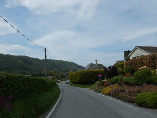
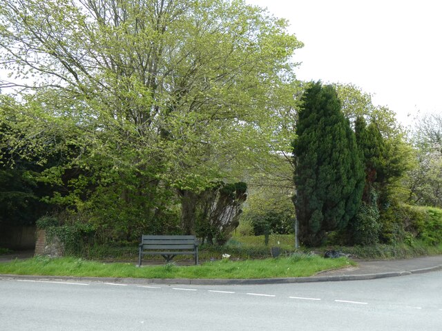
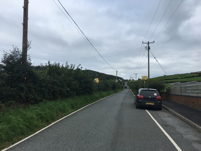
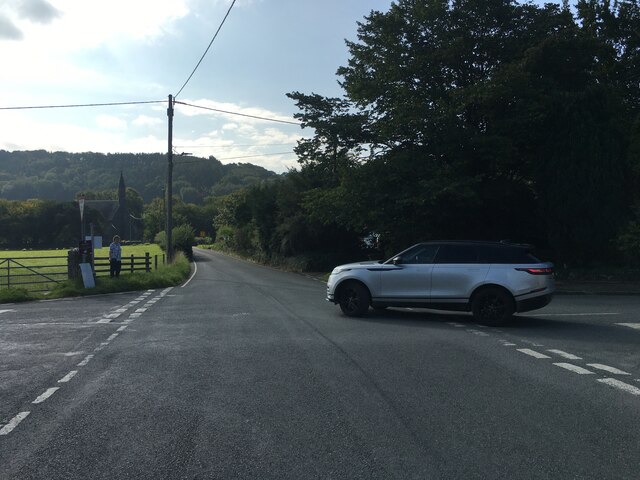
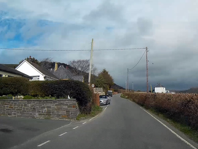
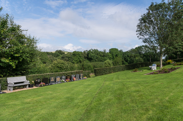
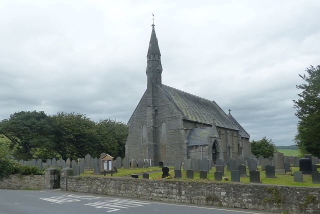
Clarach Bay Images
Images are sourced within 2km of 52.434016/-4.0812315 or Grid Reference SN5883. Thanks to Geograph Open Source API. All images are credited.


Clarach Bay is located at Grid Ref: SN5883 (Lat: 52.434016, Lng: -4.0812315)
Unitary Authority: Ceredigion
Police Authority: Dyfed Powys
What 3 Words
///settle.donation.corrupted. Near Aberystwyth, Ceredigion
Nearby Locations
Related Wikis
Clarach Bay
Clarach Bay is a small bay on the coast of Ceredigion, Wales, to the north of Aberystwyth, where the Afon Clarach flows into the sea. It has given homes...

Afon Clarach
The Afon Clarach (English: River Clarach) is a small river discharging into Cardigan Bay north of Aberystwyth. It flows through a largely agricultural...

Glan-y-môr, Ceredigion
Glan-y-môr is a small village in the community of Tirymynach, Ceredigion, Wales, which is 76.4 miles (123 km) from Cardiff and 180 miles (289.7 km) from...
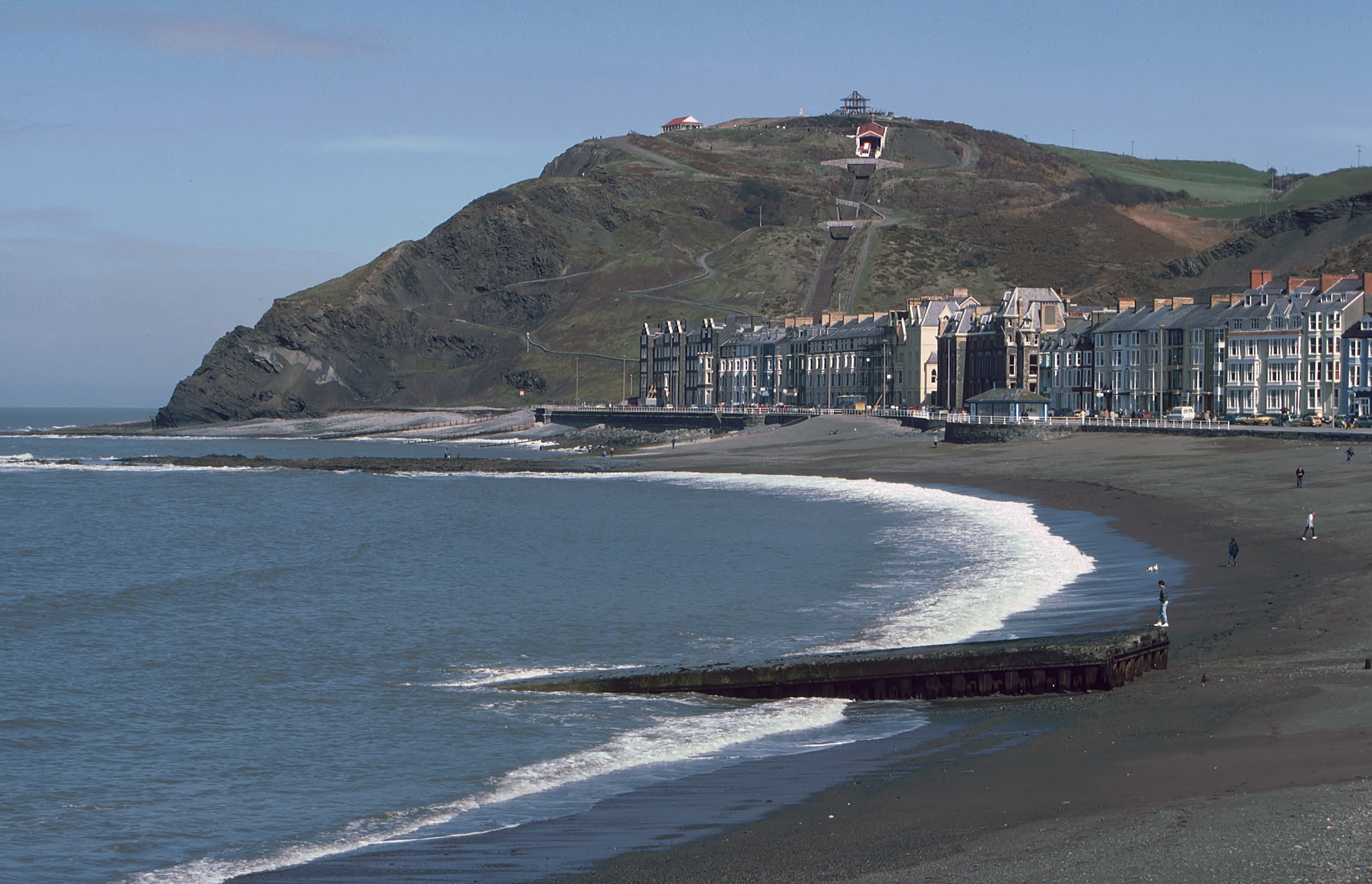
Constitution Hill, Aberystwyth
Constitution Hill (Welsh: Craig-glais Welsh pronunciation: [kreɪg glæs]) is a hill in the Welsh town of Aberystwyth, situated to the north of the town...
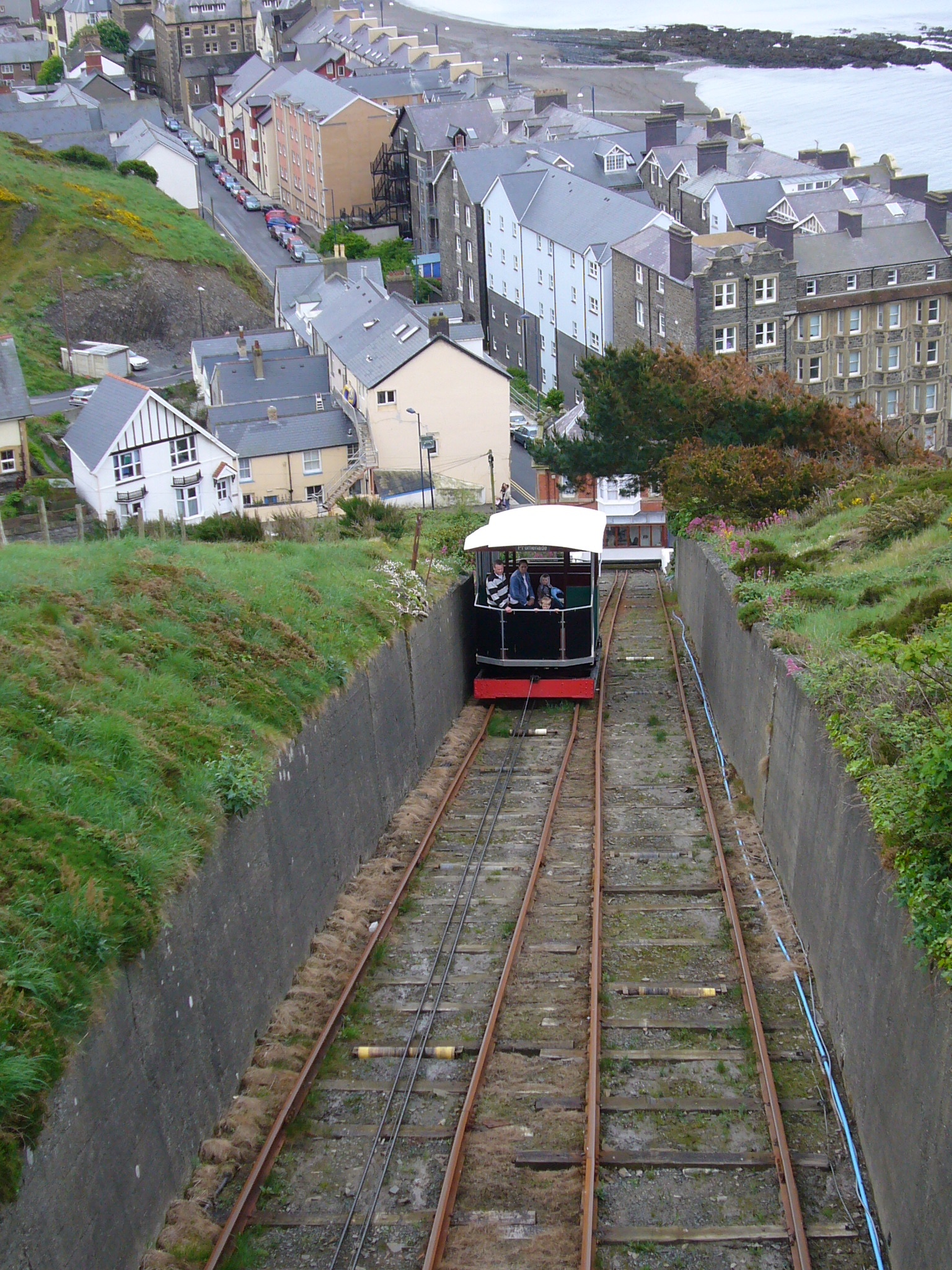
Aberystwyth Cliff Railway
The Aberystwyth Cliff Railway (Welsh: Rheilffordd y Graig) opened on 1 August 1896. It is a 778 feet (237 m) long funicular railway in Aberystwyth and...

Swyddfa'r Sir
Swyddfa'r Sir (English: County office) is a Grade II listed former hotel, former main offices of Ceredigion County Council and former Magistrates Court...
St Mary's College, Aberystwyth
St Mary's College (Welsh: Coleg Mair) was a Roman Catholic seminary in Aberystwyth, Wales, in the United Kingdom. It was the only Roman Catholic diocesan...
Penglais Nature Park
Penglais Nature Park (Welsh: Parc Natur Penglais) is a woodland situated in Aberystwyth, Ceredigion in Wales. The park is a combination of woodland and...
Nearby Amenities
Located within 500m of 52.434016,-4.0812315Have you been to Clarach Bay?
Leave your review of Clarach Bay below (or comments, questions and feedback).