Craigyfulfran
Coastal Feature, Headland, Point in Cardiganshire
Wales
Craigyfulfran
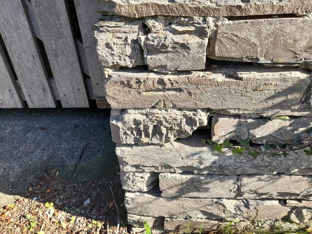
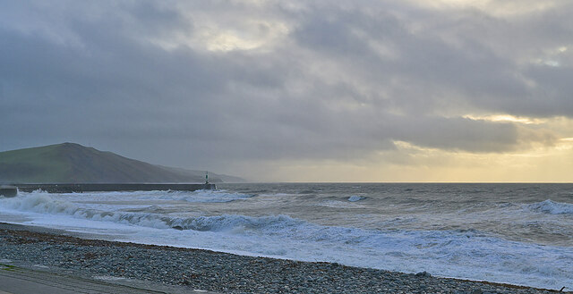
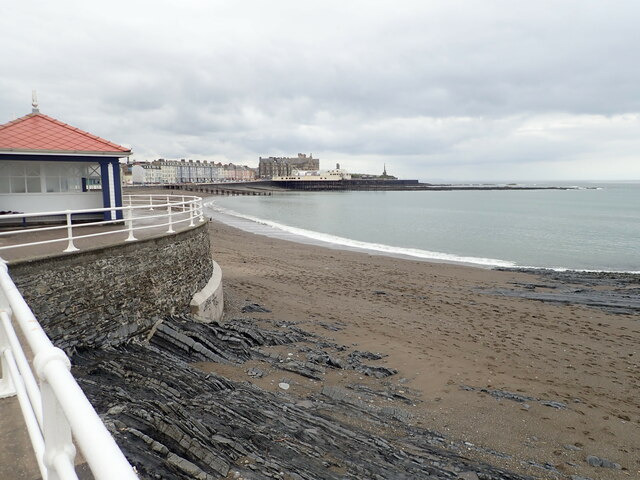
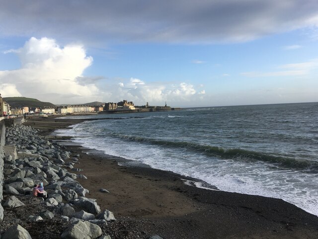
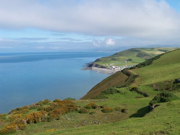
Craigyfulfran is a prominent headland located in Cardiganshire, Wales. Situated along the picturesque coastline, it juts out into the Celtic Sea, offering breathtaking views and natural beauty. The headland is characterized by its impressive cliffs, which rise dramatically from the sea, creating a stunning landscape.
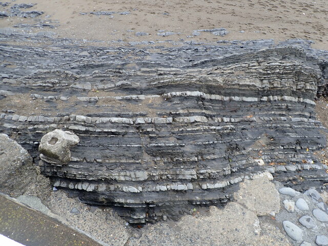
At Craigyfulfran, visitors can witness the force of the ocean as waves crash against the rocks, sending sprays of water into the air. The headland is made up of layers of sedimentary rocks, displaying a variety of colors and textures that add to its visual appeal. The cliffs also provide a habitat for a diverse range of coastal flora and fauna, making it an ideal spot for nature enthusiasts.
The headland's position makes it an excellent vantage point for birdwatching, as numerous seabirds can be seen soaring above the sea or perched on the cliff ledges. Species such as gulls, fulmars, and cormorants can be spotted here, adding to the area's ecological significance.
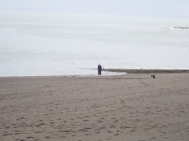
Craigyfulfran also offers opportunities for recreational activities. The headland is a popular spot for hiking, with several trails that wind along the cliff edges, allowing visitors to explore the area's natural wonders up close. Fishing is another popular pastime, as the surrounding waters are known for their abundance of fish.
In addition to its natural attractions, Craigyfulfran has historical significance. The headland is rumored to have been a lookout point during ancient times, serving as a defensive position against potential invaders. Today, remnants of ancient fortifications can still be seen, adding a sense of intrigue and historical context to the area.
Overall, Craigyfulfran is a captivating coastal feature that offers visitors a chance to immerse themselves in the beauty of Wales' rugged coastline, witness stunning natural phenomena, and connect with the area's rich history and biodiversity.
If you have any feedback on the listing, please let us know in the comments section below.
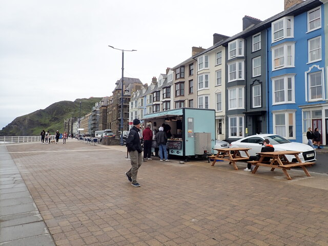
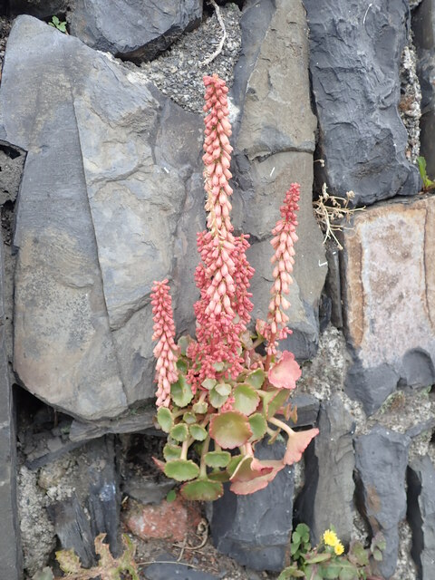
Craigyfulfran Images
Images are sourced within 2km of 52.427038/-4.08483 or Grid Reference SN5883. Thanks to Geograph Open Source API. All images are credited.


Craigyfulfran is located at Grid Ref: SN5883 (Lat: 52.427038, Lng: -4.08483)
Unitary Authority: Ceredigion
Police Authority: Dyfed Powys
What 3 Words
///sizes.headers.sprinkler. Near Aberystwyth, Ceredigion
Nearby Locations
Related Wikis
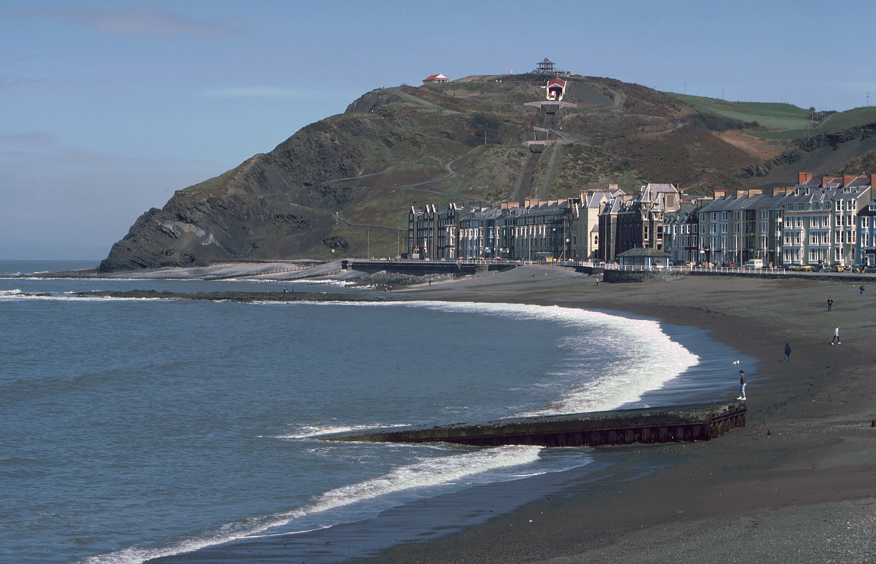
Constitution Hill, Aberystwyth
Constitution Hill (Welsh: Craig-glais Welsh pronunciation: [krai̯ɡ glai̯s]) is a hill in the Welsh town of Aberystwyth, situated to the north of the town...
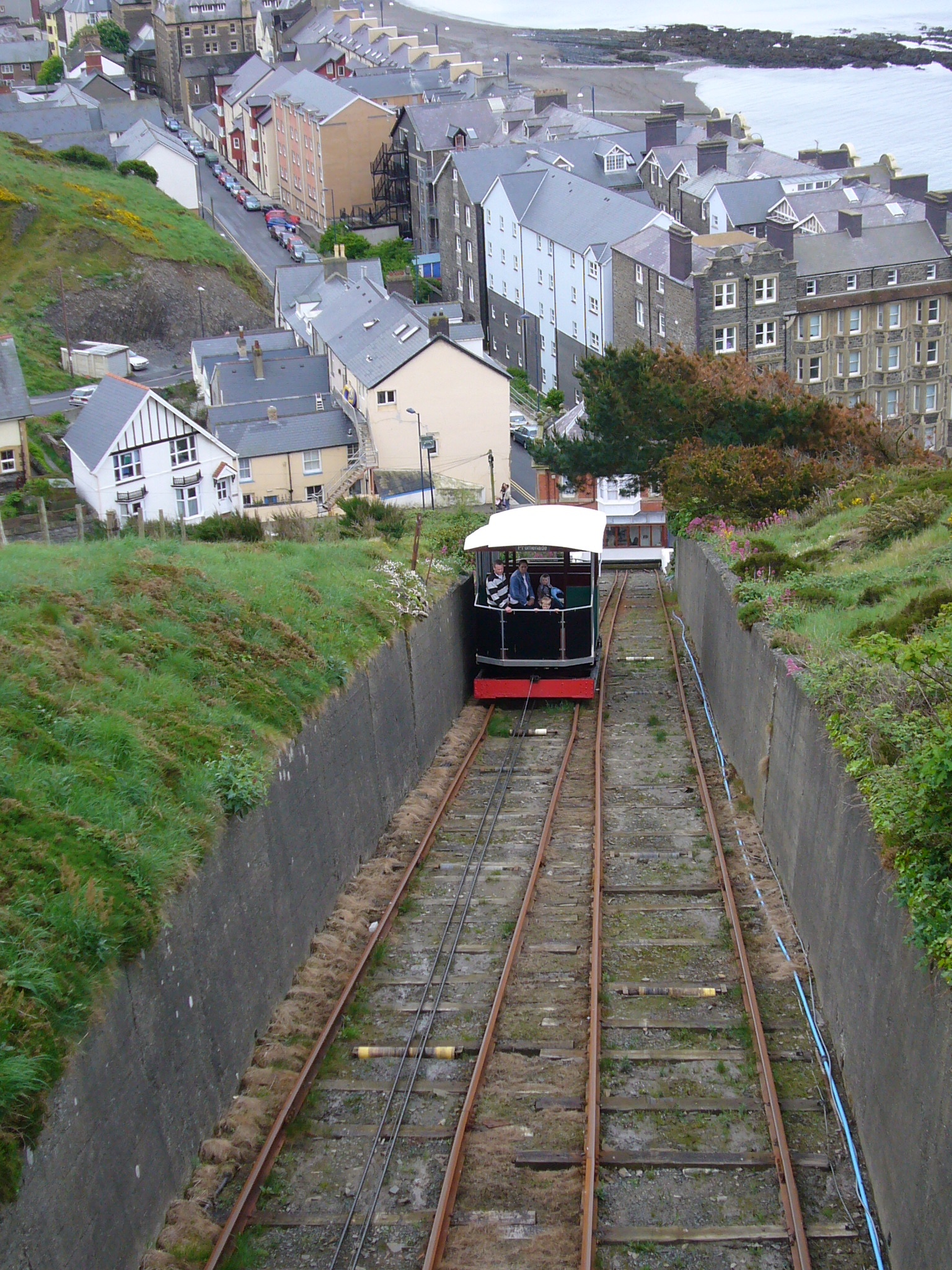
Aberystwyth Cliff Railway
The Aberystwyth Cliff Railway (Welsh: Rheilffordd y Graig) opened on 1 August 1896. It is a 778 feet (237 m) long funicular railway in Aberystwyth and...

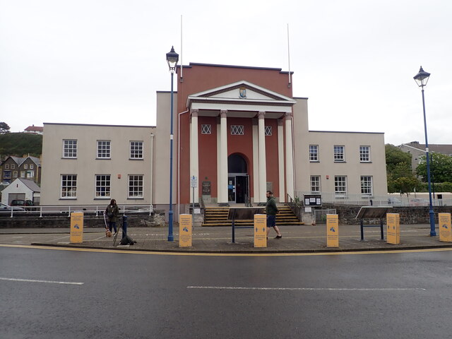
Swyddfa'r Sir
Swyddfa'r Sir (Welsh for 'county office') is a Grade II listed former hotel, former main offices of Ceredigion County Council and former Magistrates Court...
Clarach Bay
Clarach Bay (Welsh pronunciation: [ˈklaraχ]) is a small bay on the coast of Ceredigion, Wales, to the north of Aberystwyth, where the Afon Clarach flows...
Nearby Amenities
Located within 500m of 52.427038,-4.08483Have you been to Craigyfulfran?
Leave your review of Craigyfulfran below (or comments, questions and feedback).